Projekt
Wspólnota
Aktualności
Moja aplikacja
Moje mapy
Carte cataloguée
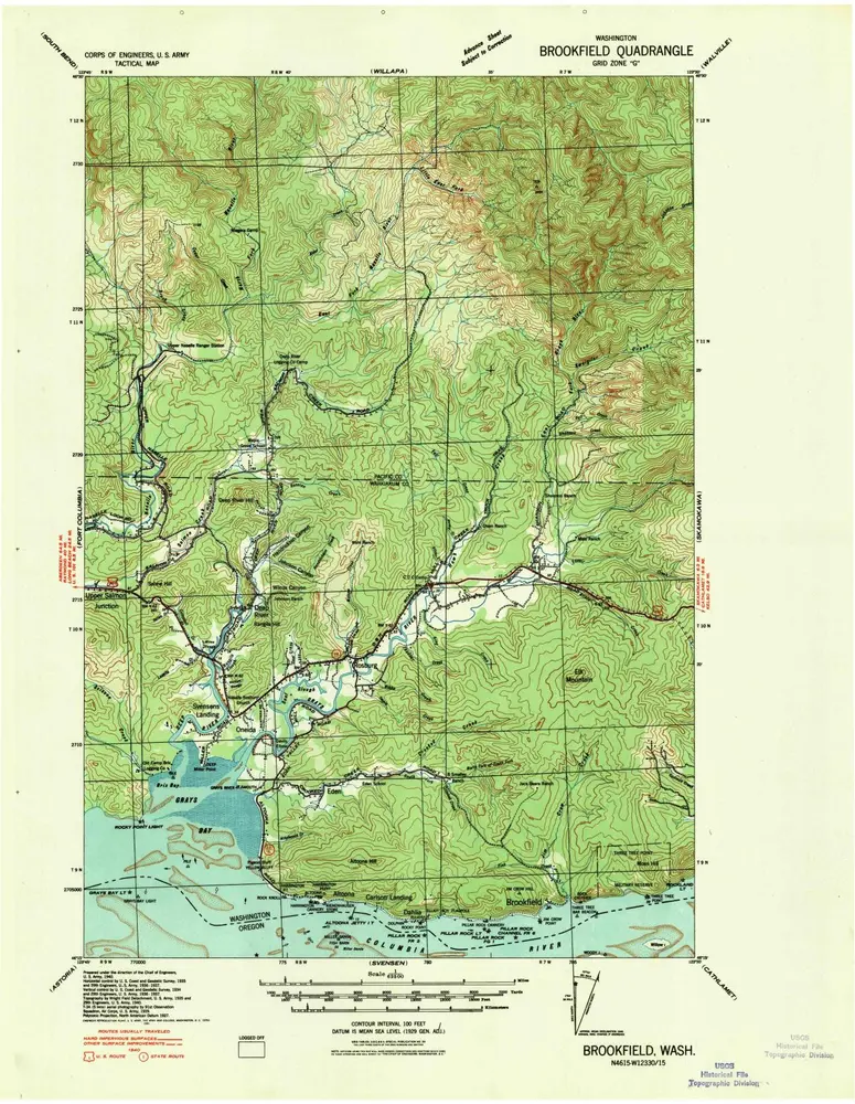
Brookfield
Wyświetlanie na zewnętrznej stronie internetowej
View digitized
Institution:
United States Geological Survey
Titre complet:
Brookfield
Année de l'image:
1940
Échelle de la carte:
1:62 500
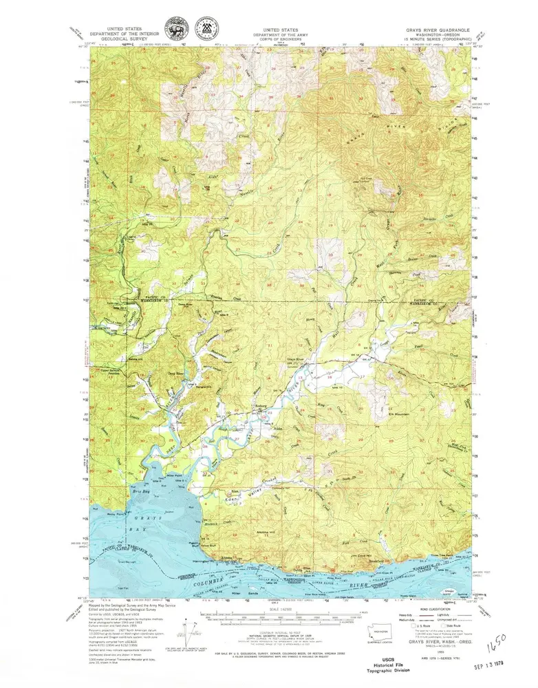
Grays River
1955
1:63k
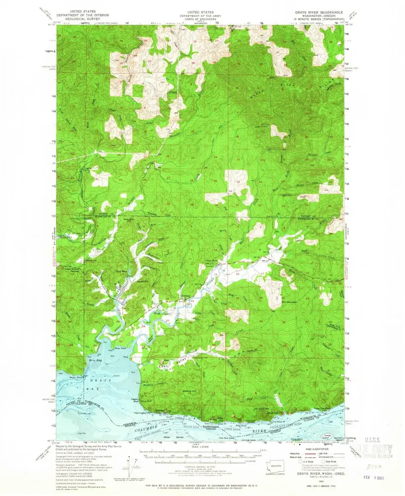
Grays River
1955
1:63k
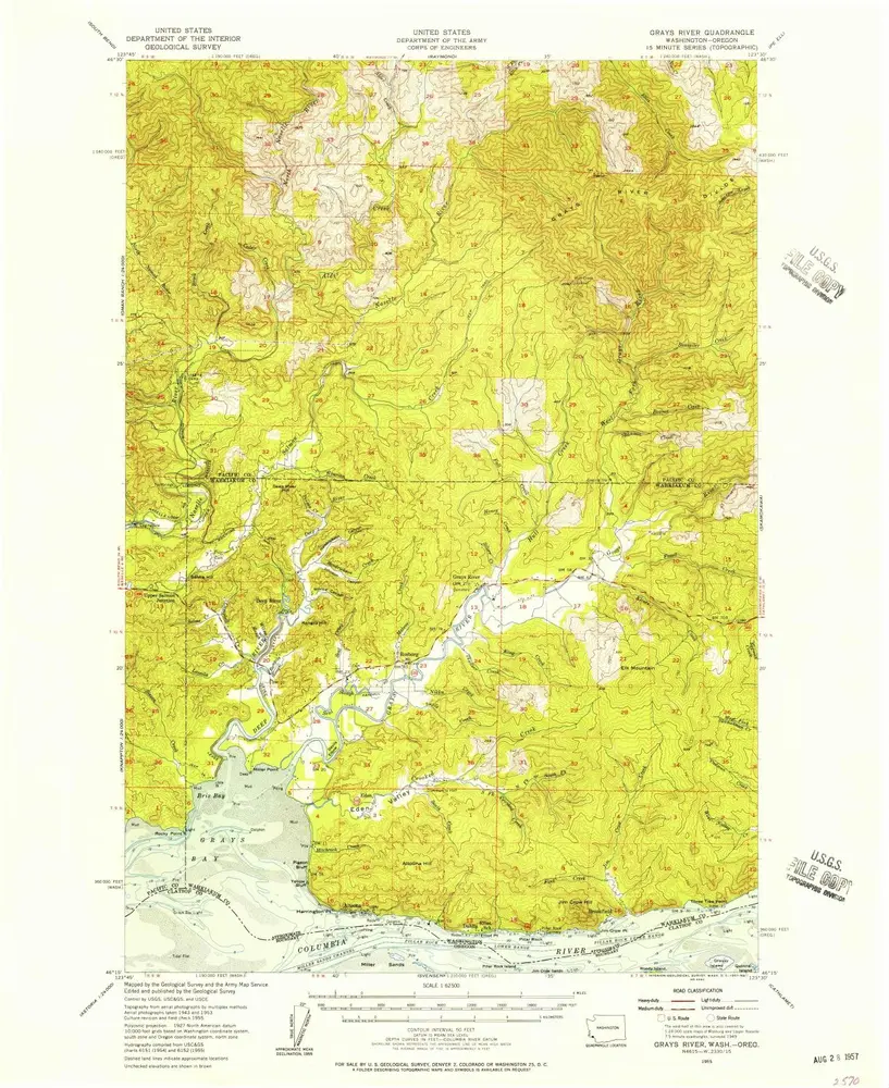
Grays River
1955
1:63k
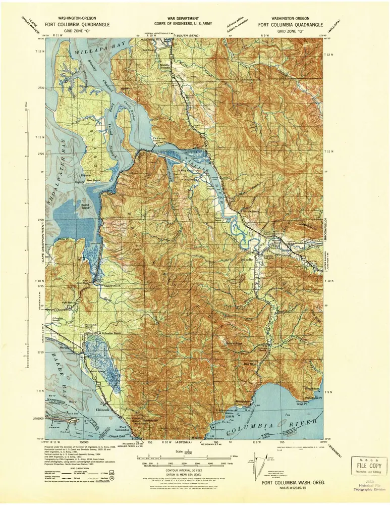
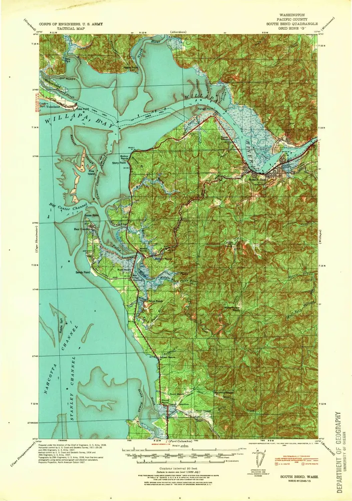
Fort Columbia
1943
1:63k
Brookfield
1940
1:63k
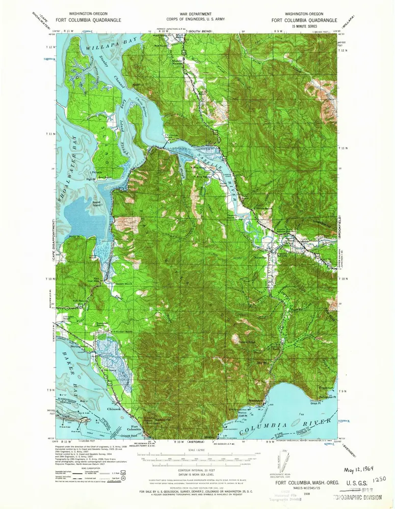
Fort Columbia
1938
1:63k
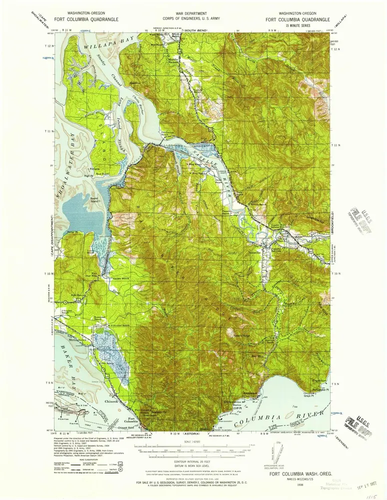
Fort Columbia
1938
1:63k
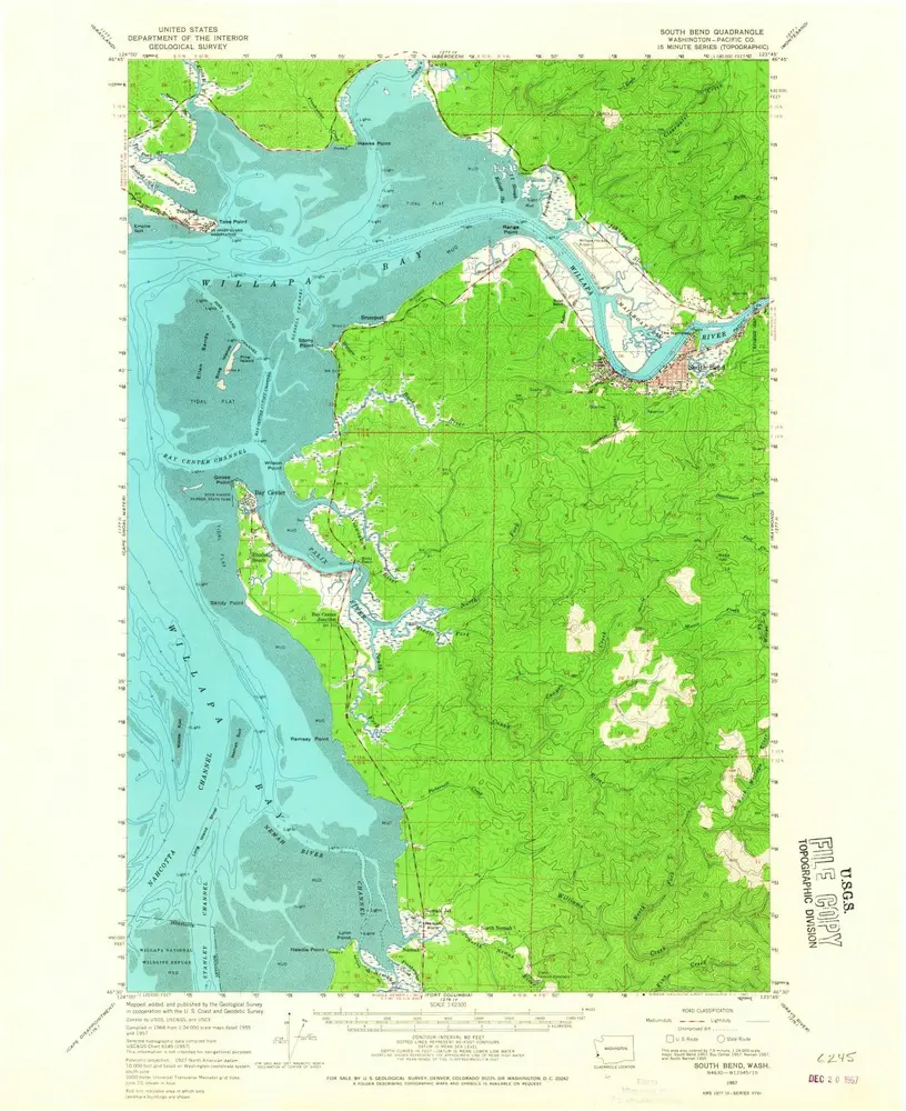
South Bend
1957
1:63k
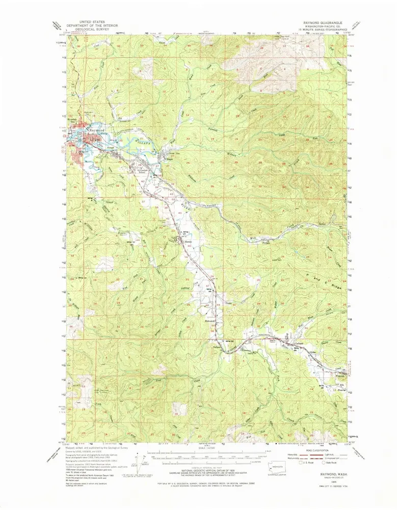
Raymond
1955
1:63k
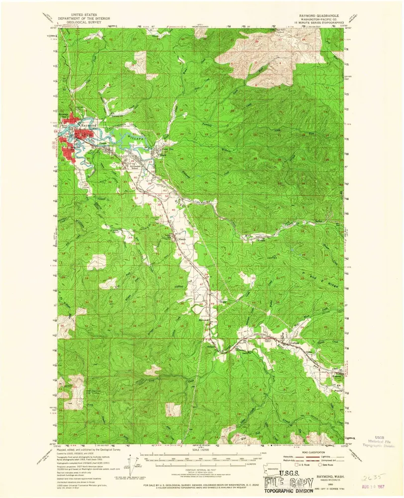
Raymond
1955
1:63k
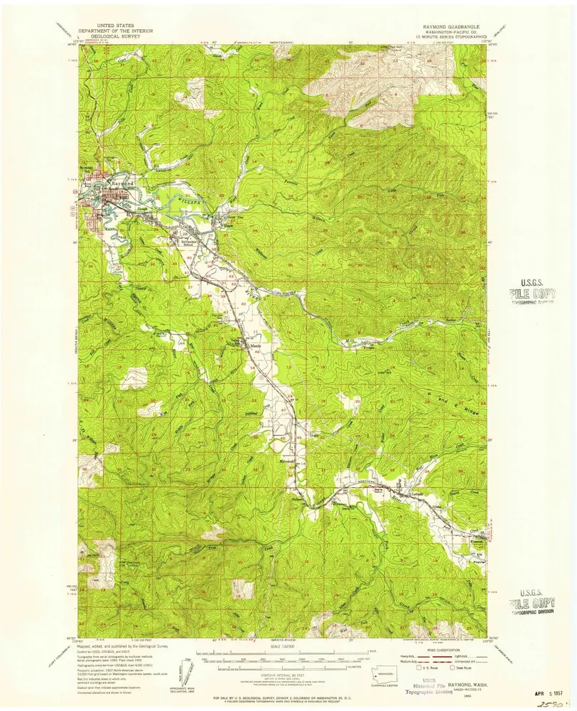
Raymond
1955
1:63k
South Bend
1940
1:63k
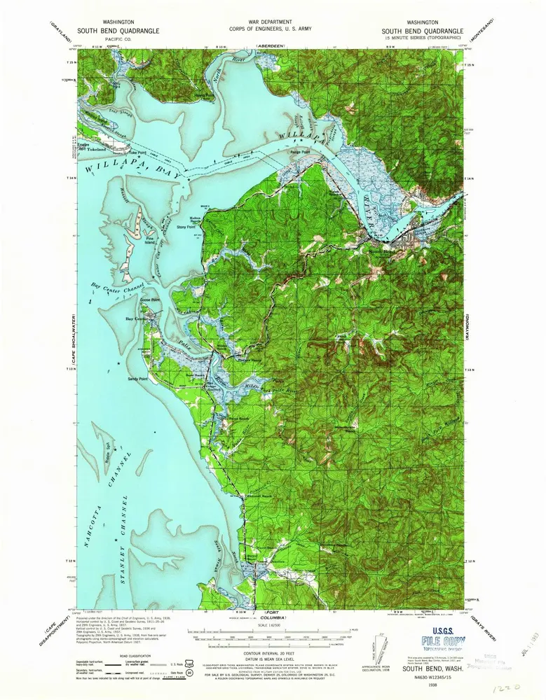
South Bend
1938
1:63k
L'histoire