Projekt
Wspólnota
Aktualności
Moja aplikacja
Moje mapy
Katalogisierte Karte
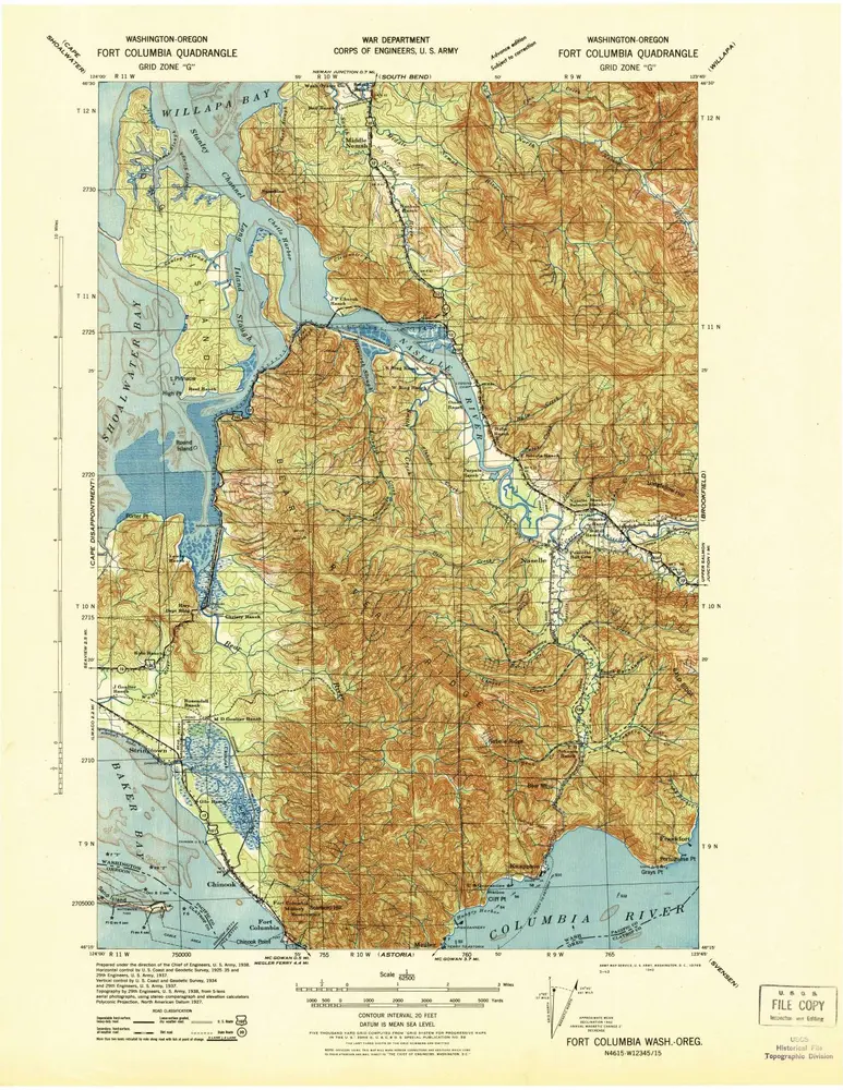
Fort Columbia
Wyświetlanie na zewnętrznej stronie internetowej
Zobacz zdigitalizowane
Einrichtung:
United States Geological Survey
Vollständiger Titel:
Fort Columbia
Jahr der Abbildung:
1943
Maßstab der Karte:
1:62 500
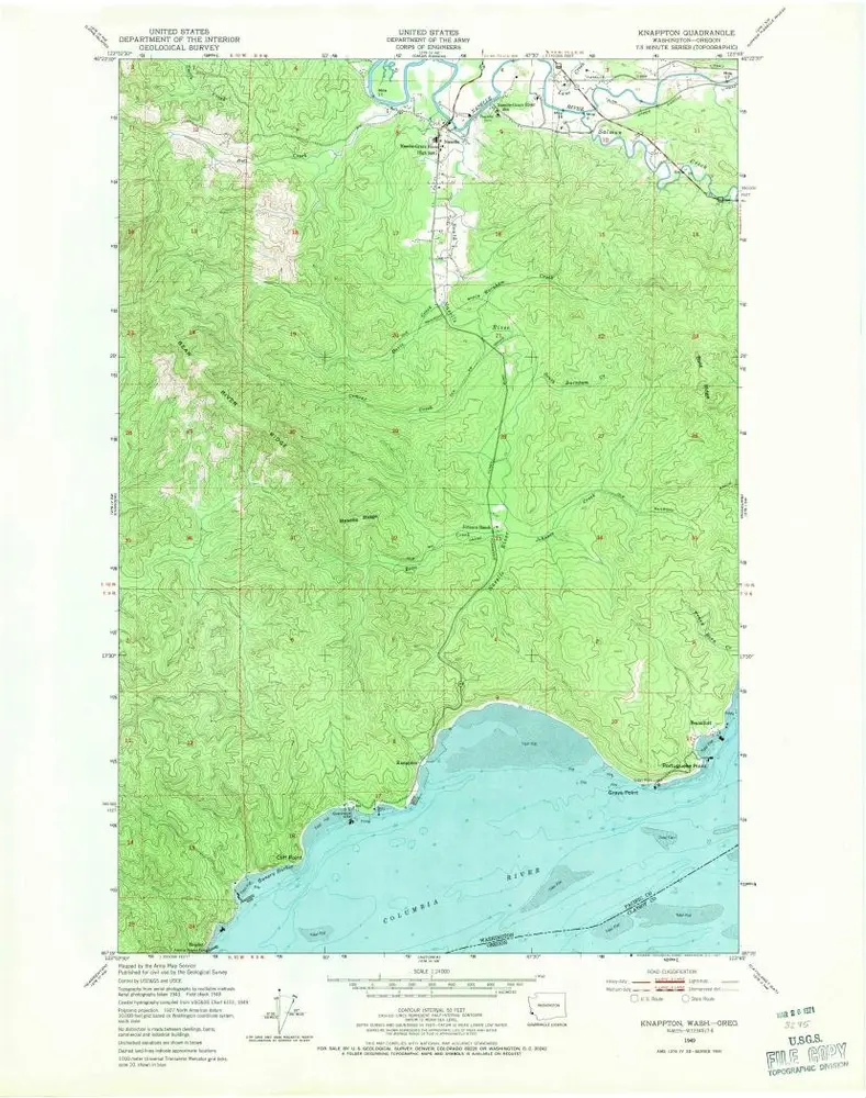
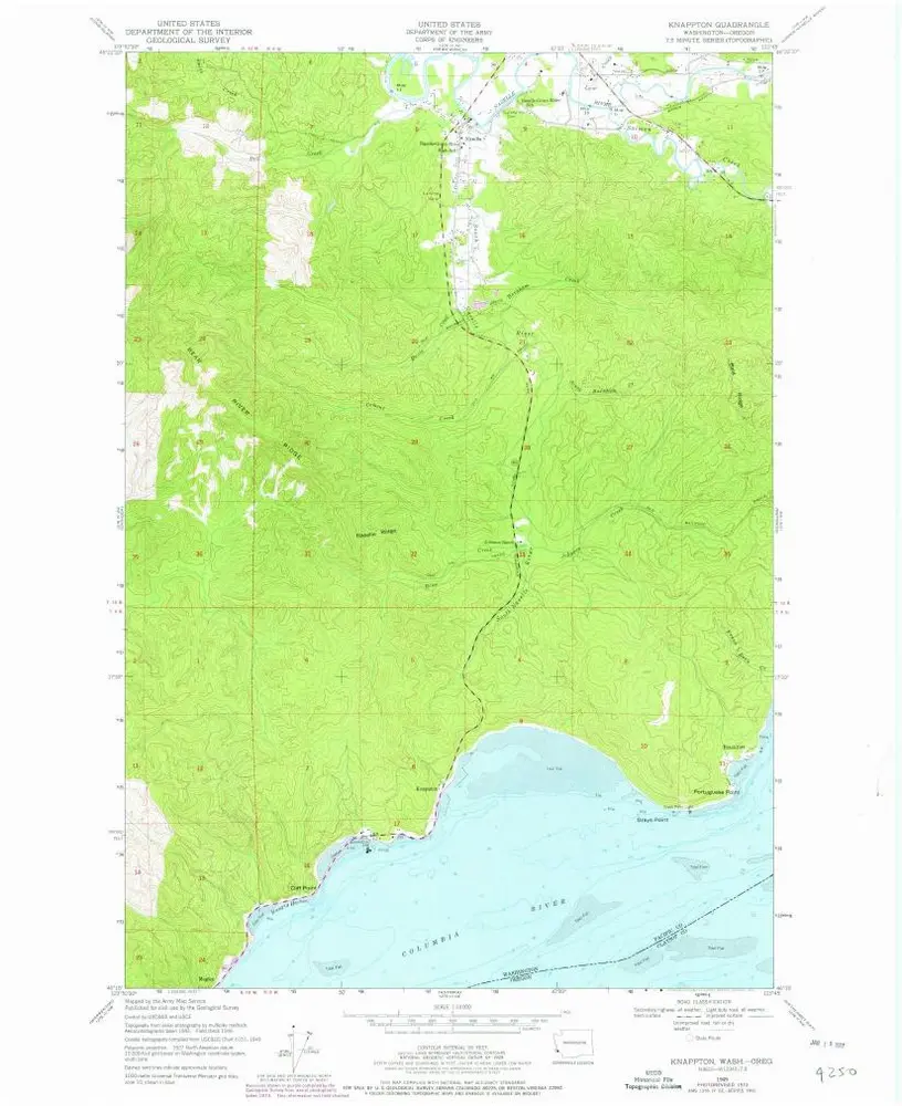
Knappton
1949
1:24k
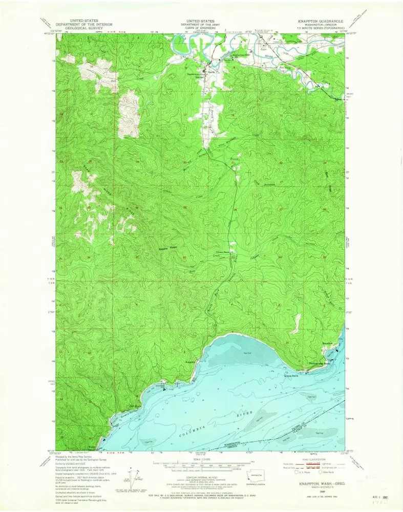
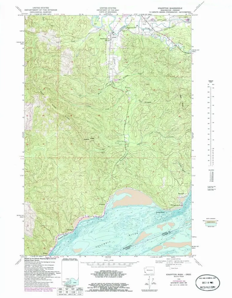
Knappton
1949
1:24k
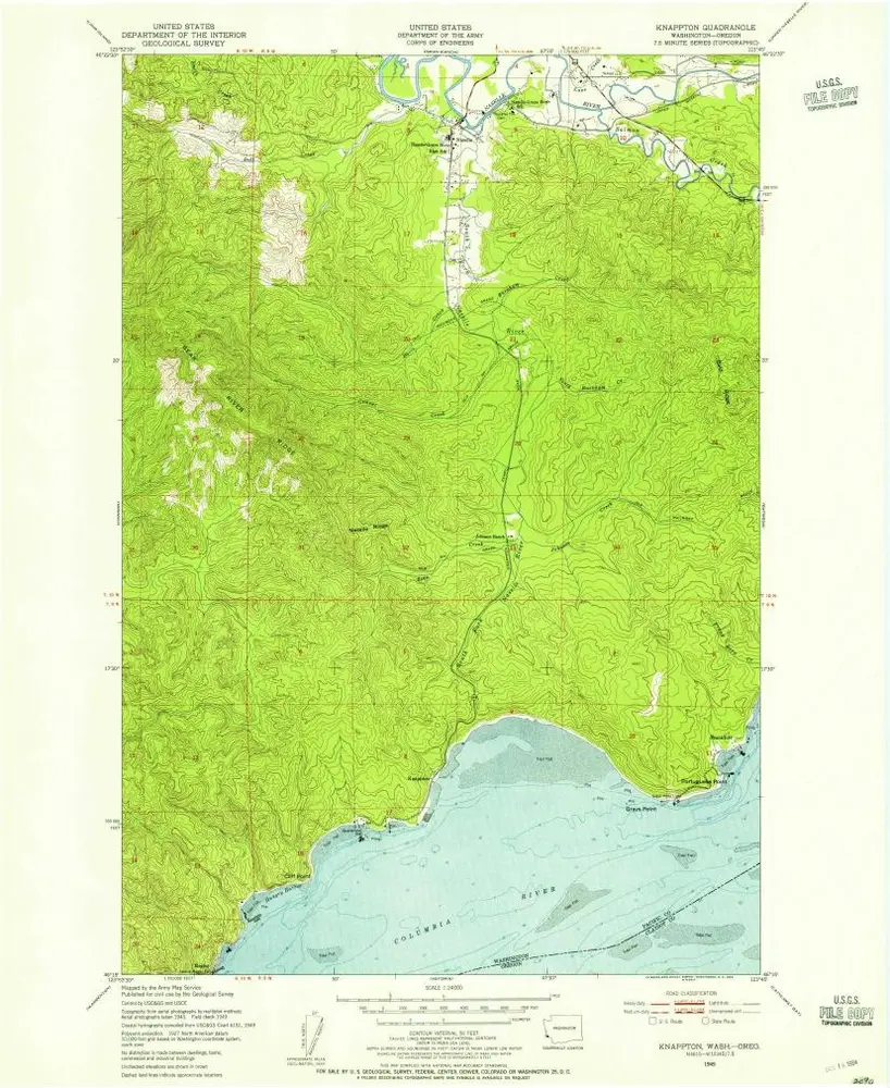
Knappton
1949
1:24k
Knappton
1949
1:24k
Knappton
1949
1:24k
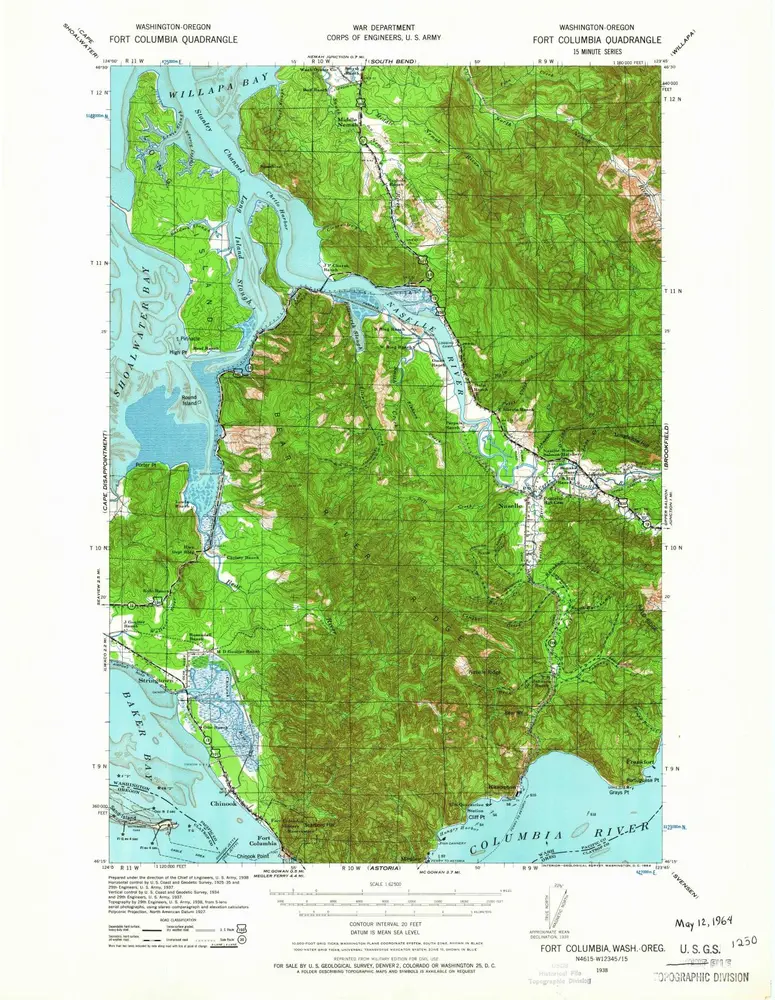
Fort Columbia
1943
1:63k
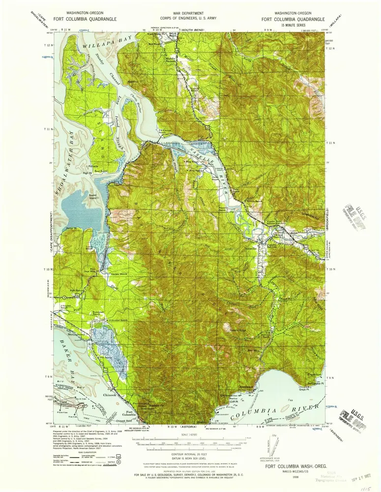
Fort Columbia
1938
1:63k
Fort Columbia
1938
1:63k
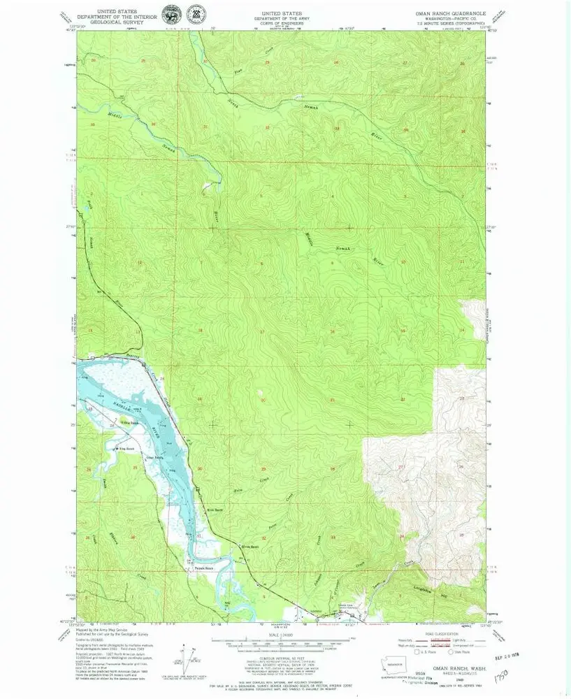
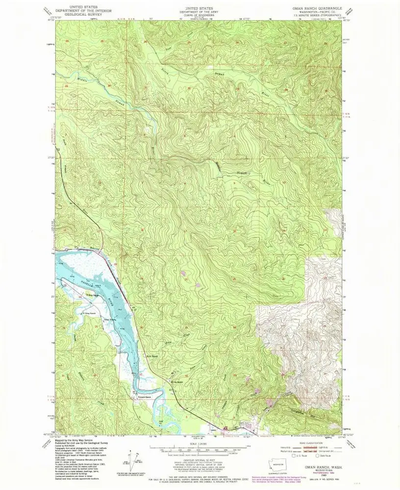
Oman Ranch
1949
1:24k
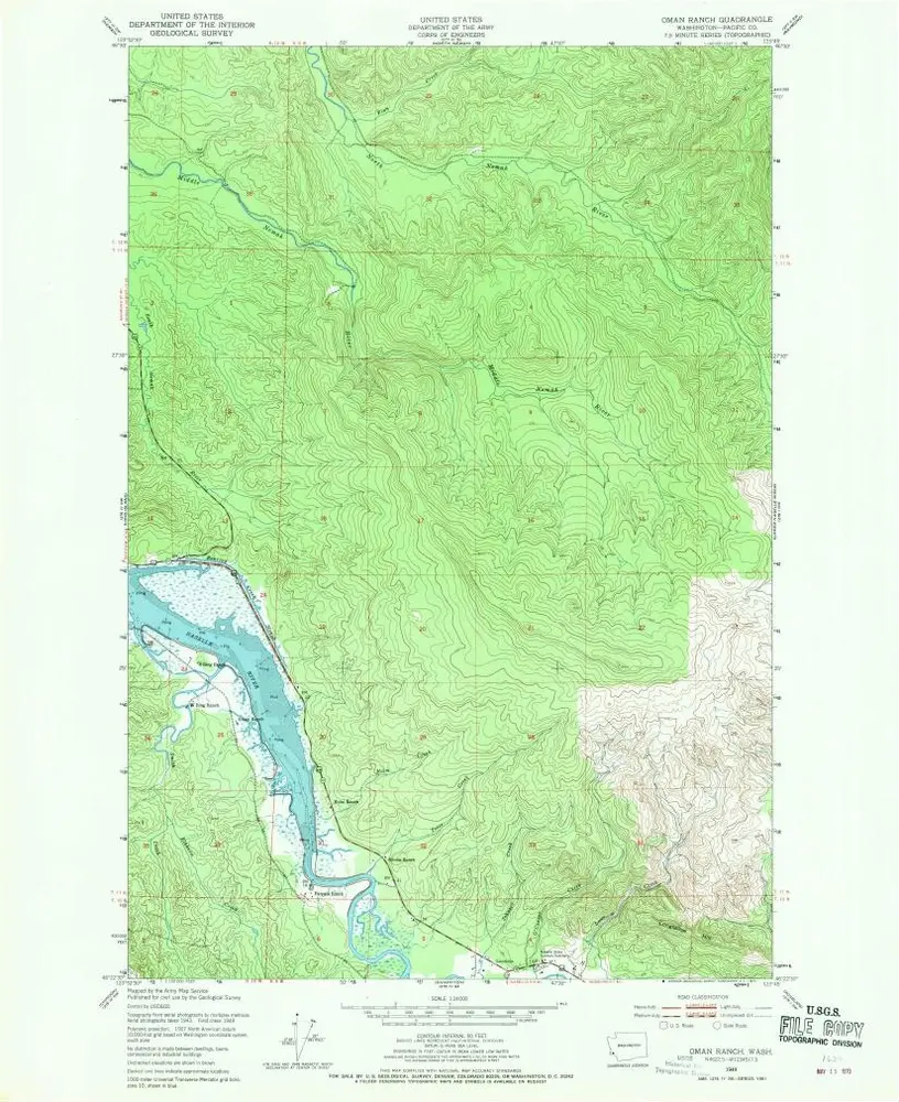
Oman Ranch
1949
1:24k
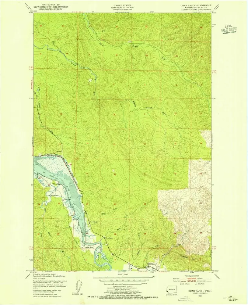
Oman Ranch
1949
1:24k
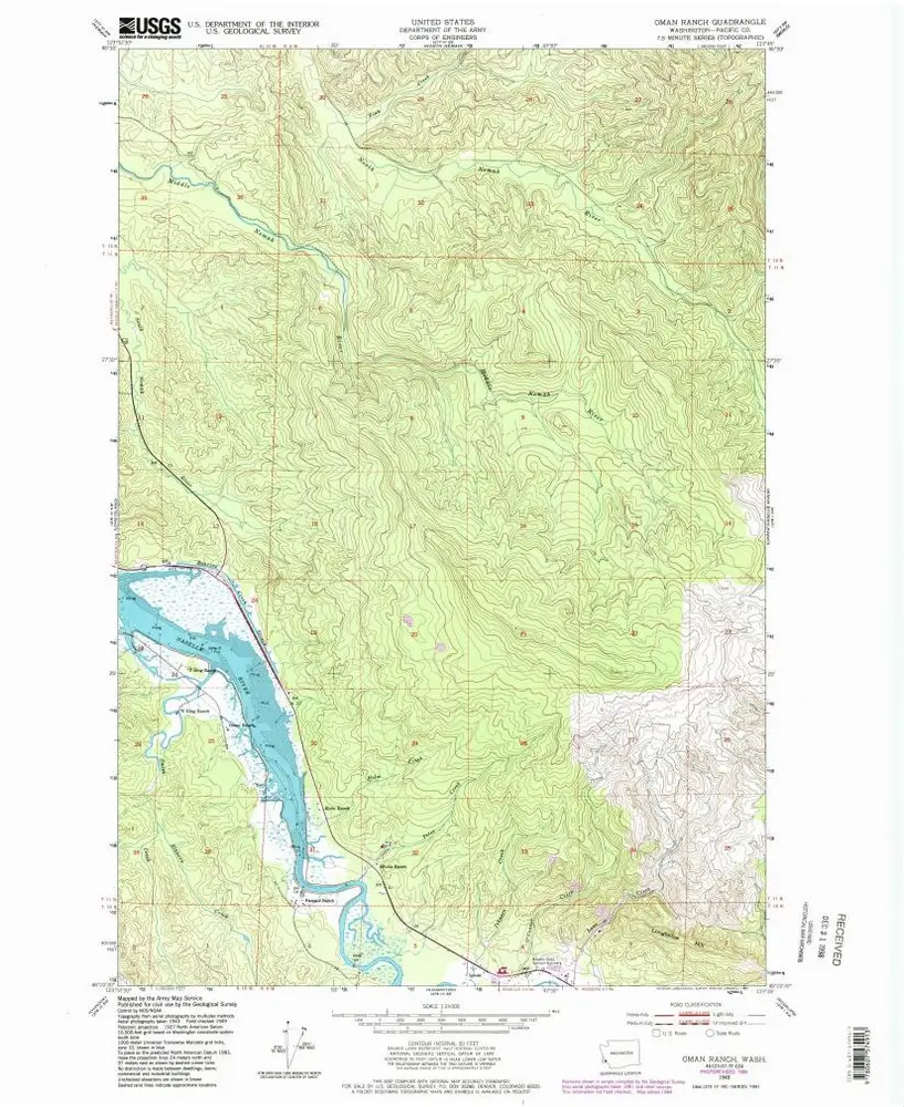
Oman Ranch
1949
1:24k
Oman Ranch
1949
1:24k
Geschichte