Mapa catalogado
Charleston Harbor and its approaches showing the positions of the Rebel-batteries
Título completo:Charleston Harbor and its approaches showing the positions of the Rebel-batteries
Año de ilustración:1863
Fecha de publicación:1863
Editorial:Lith. of J. Bien
Escala del mapa:1:30 000
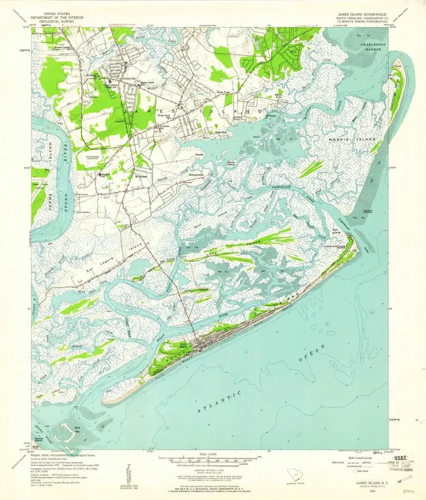
James Island
1959
1:24k

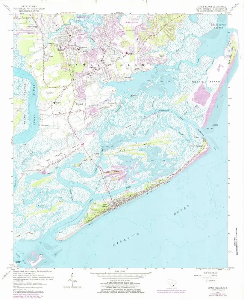
James Island
1959
1:24k
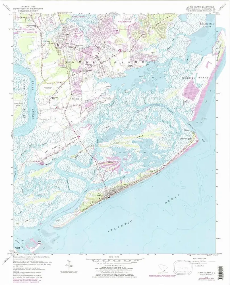
James Island
1959
1:24k
James Island
1959
1:24k
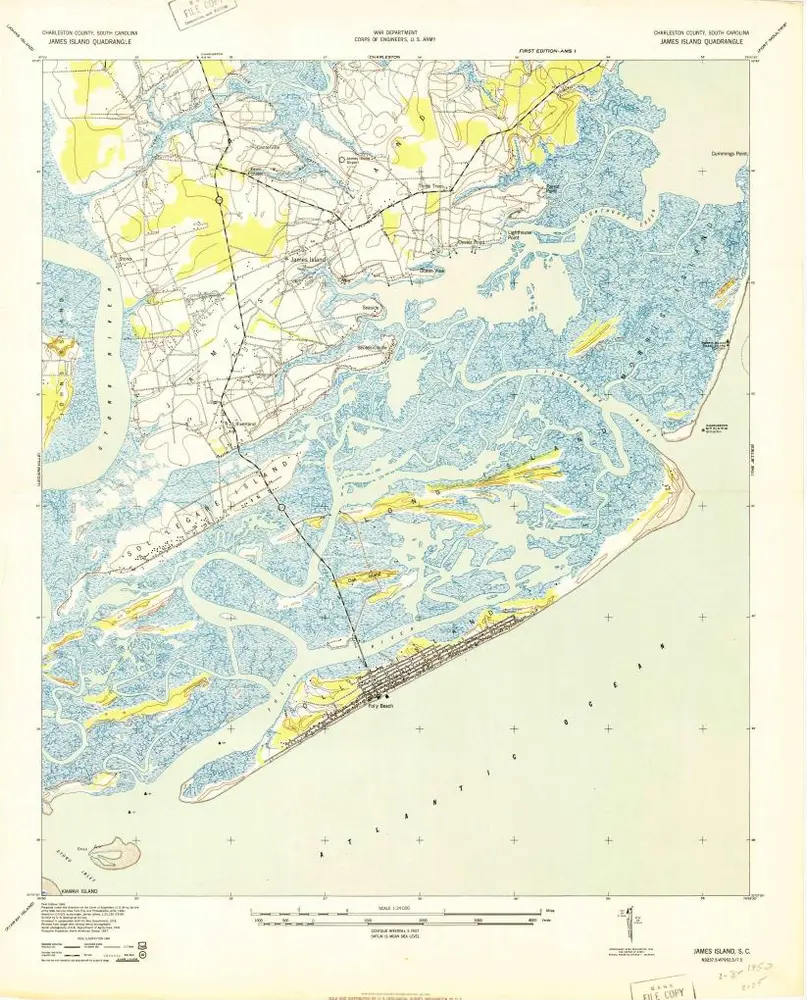
James Island
1943
1:24k
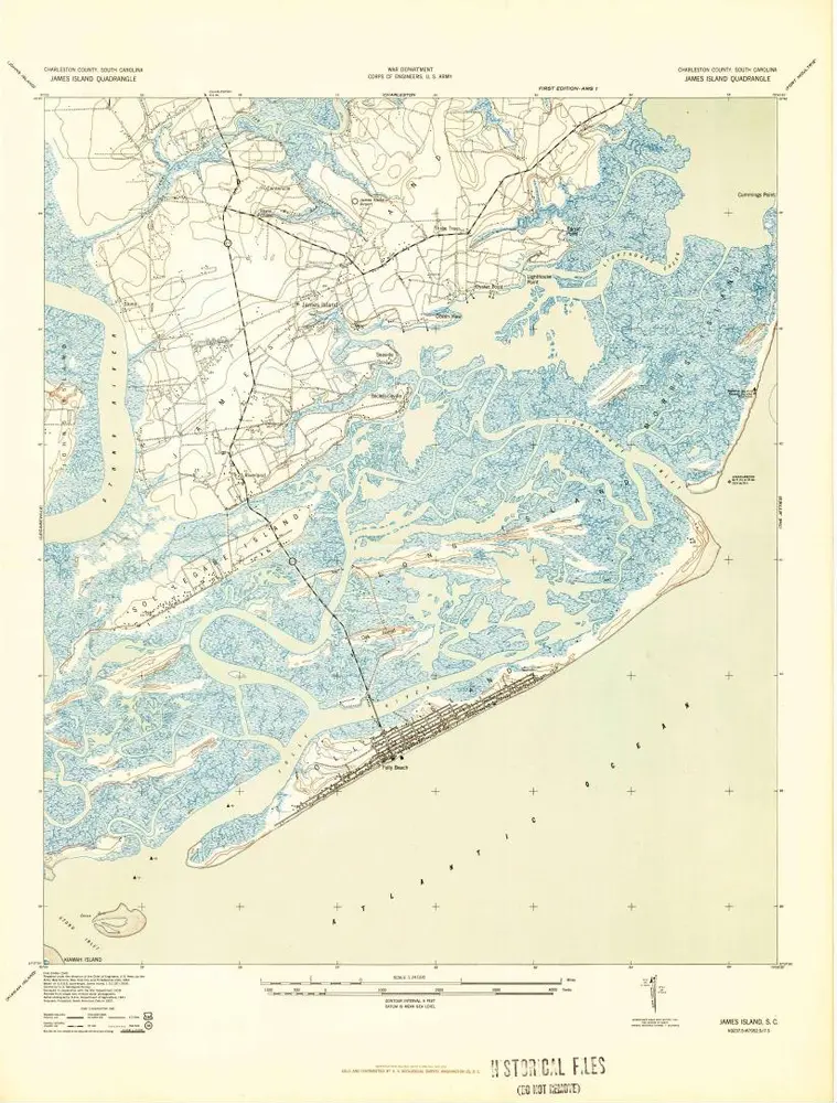
James Island
1943
1:24k
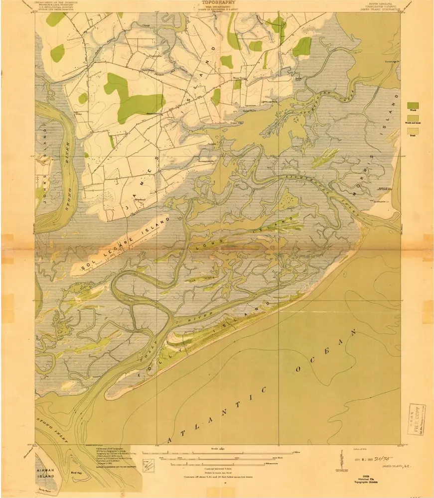
James Island
1919
1:21k
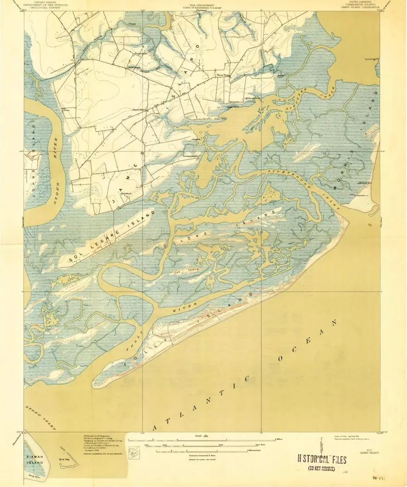
James Island
1919
1:21k
Charleston Harbor and its approaches showing the positions of the Rebel-batteries
1863
United States Coast Survey
1:30k
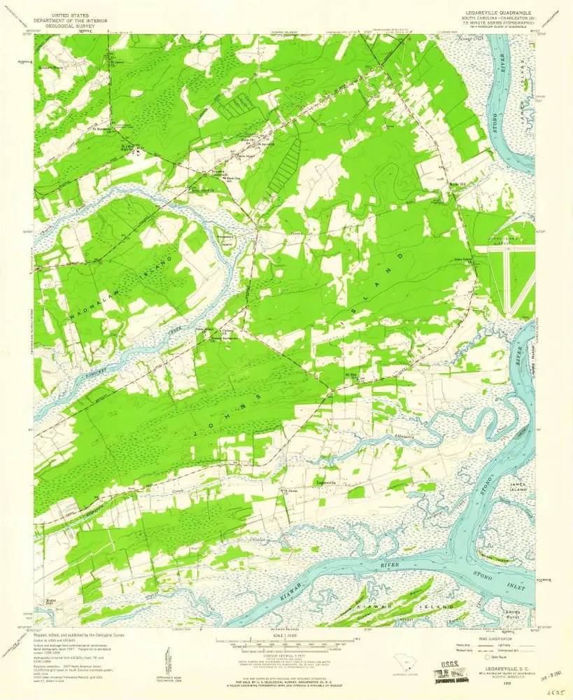
Legareville
1959
1:24k
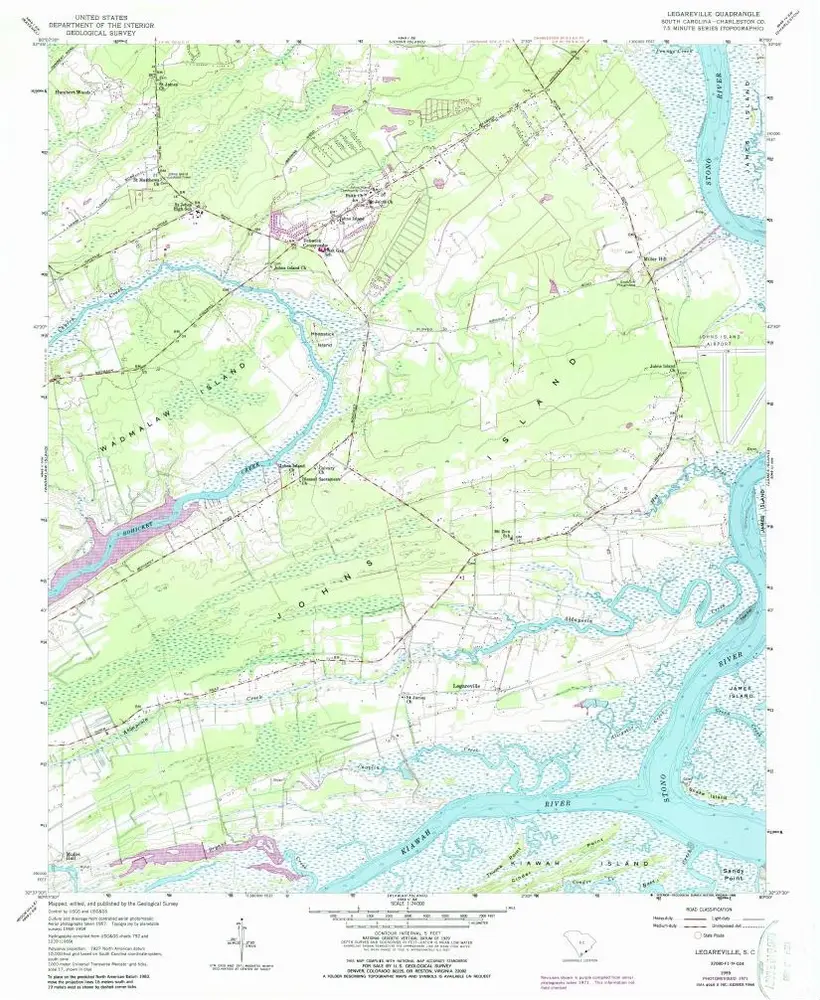
Legareville
1959
1:24k
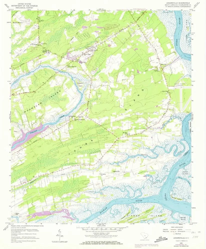
Legareville
1959
1:24k
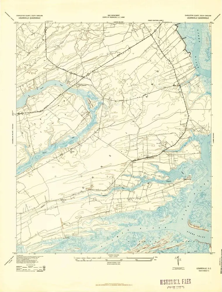
Legareville
1943
1:24k
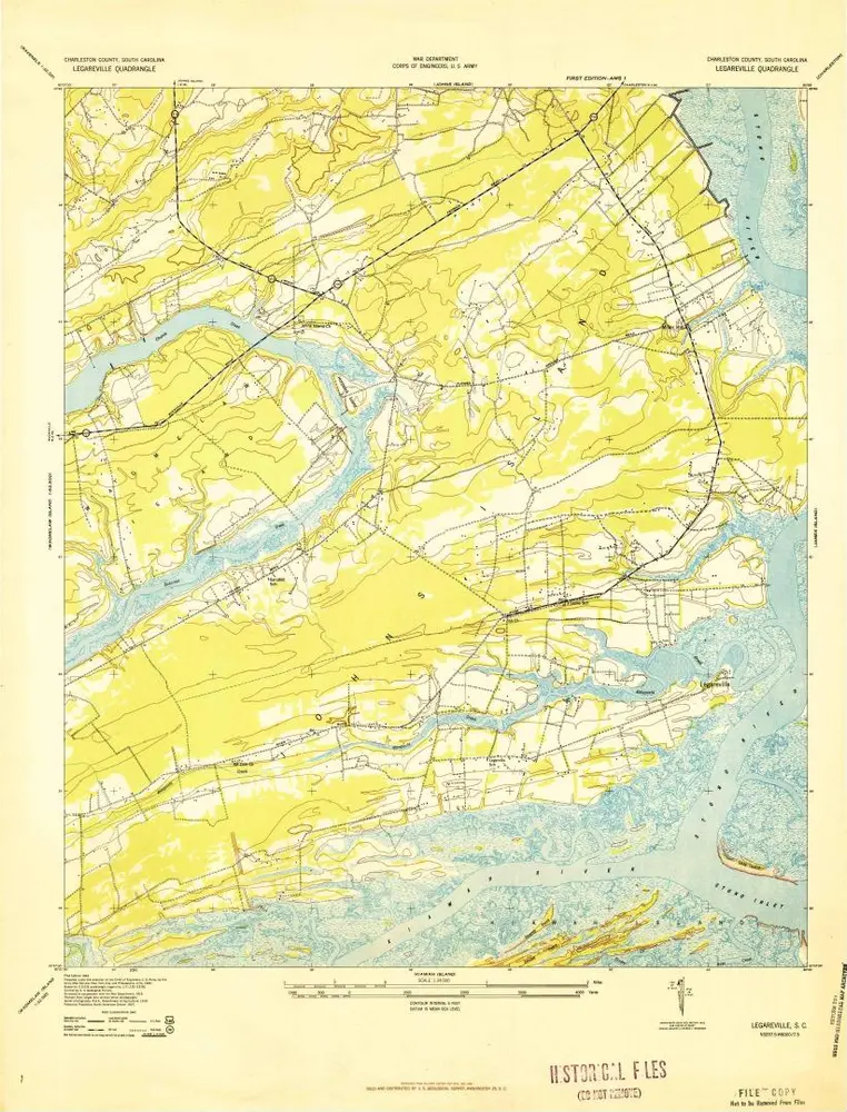
Legareville
1943
1:24k
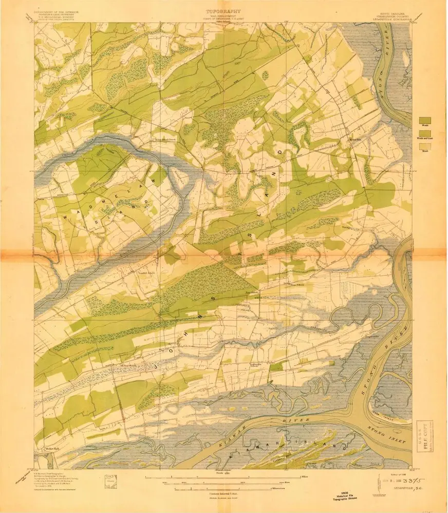
Legareville
1919
1:21k


