Carte cataloguée
James Island

Institution:United States Geological Survey
Titre complet:James Island
Année de l'image:1943
Échelle de la carte:1:24 000
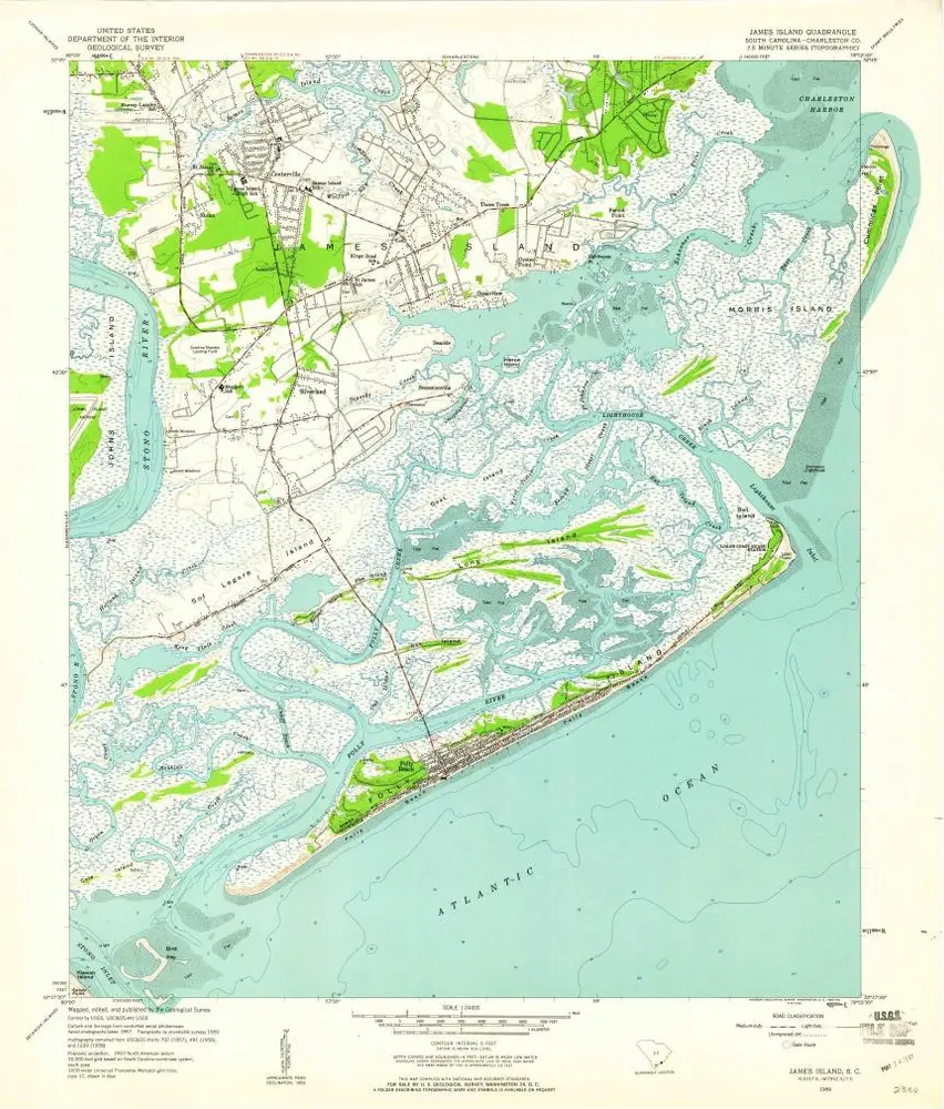
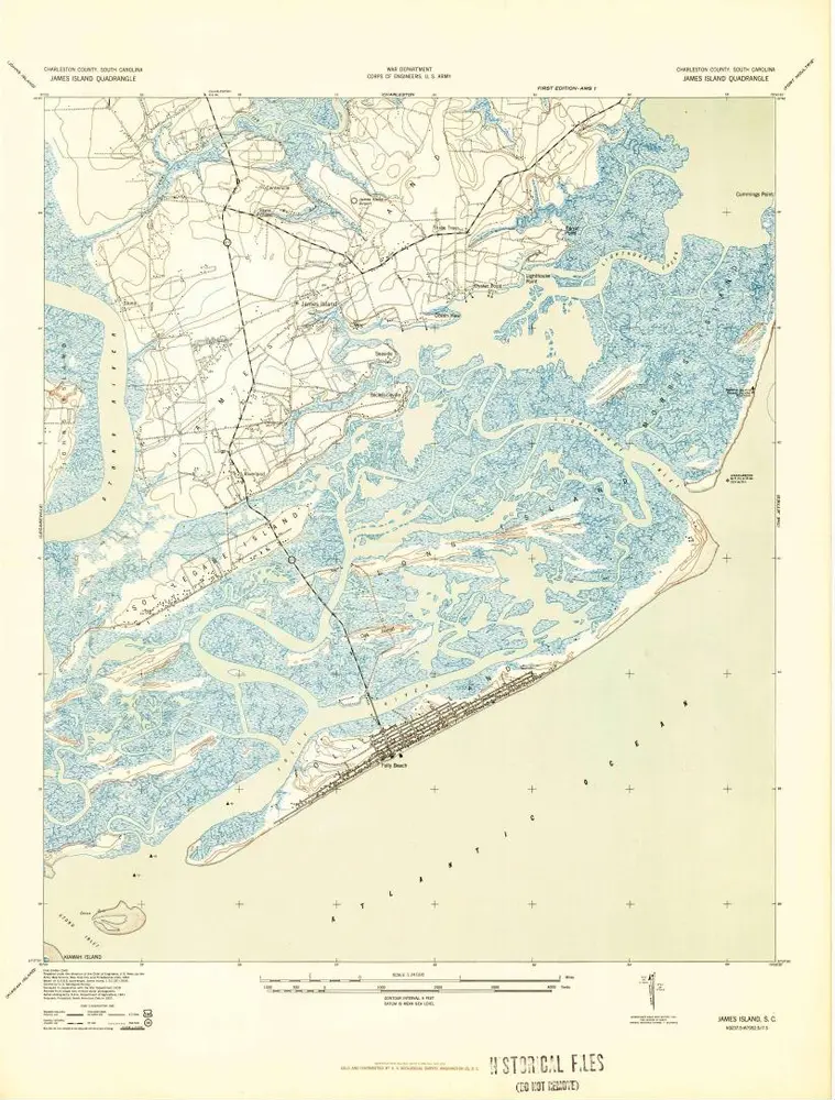
James Island
1959
1:24k
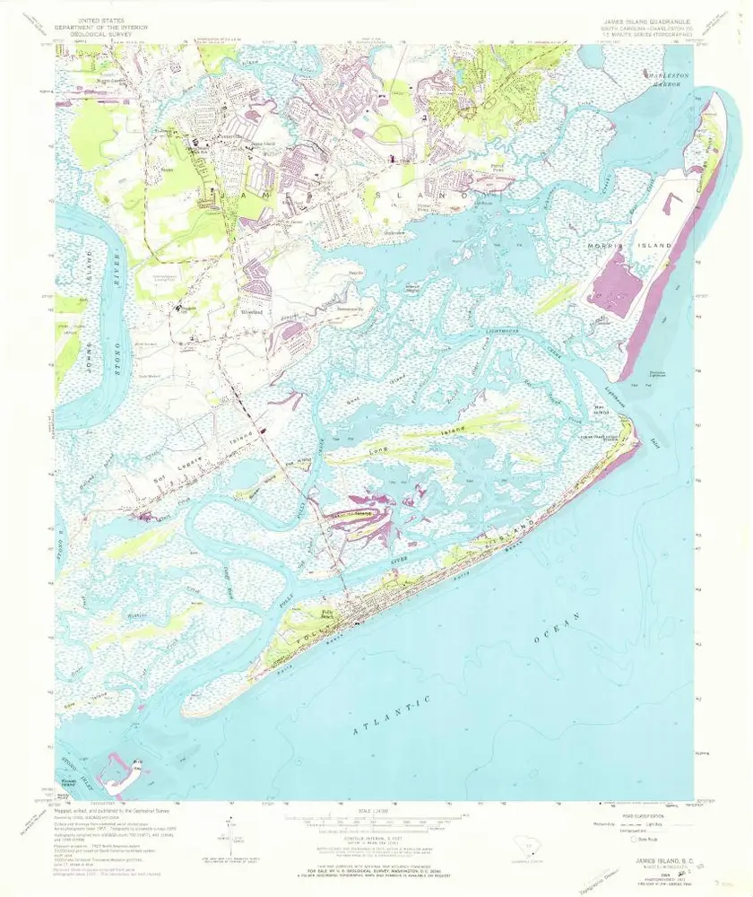
James Island
1959
1:24k

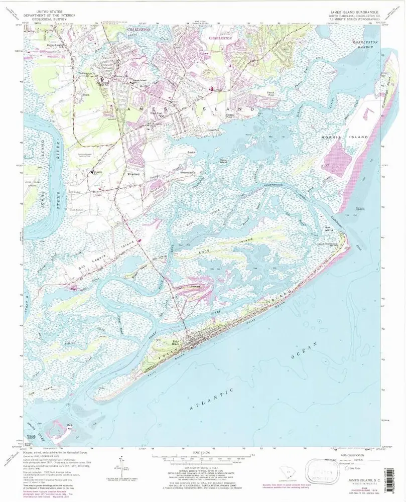
James Island
1959
1:24k
James Island
1959
1:24k
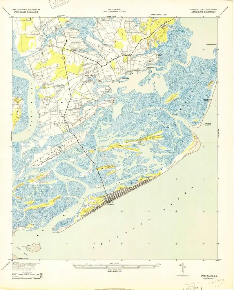
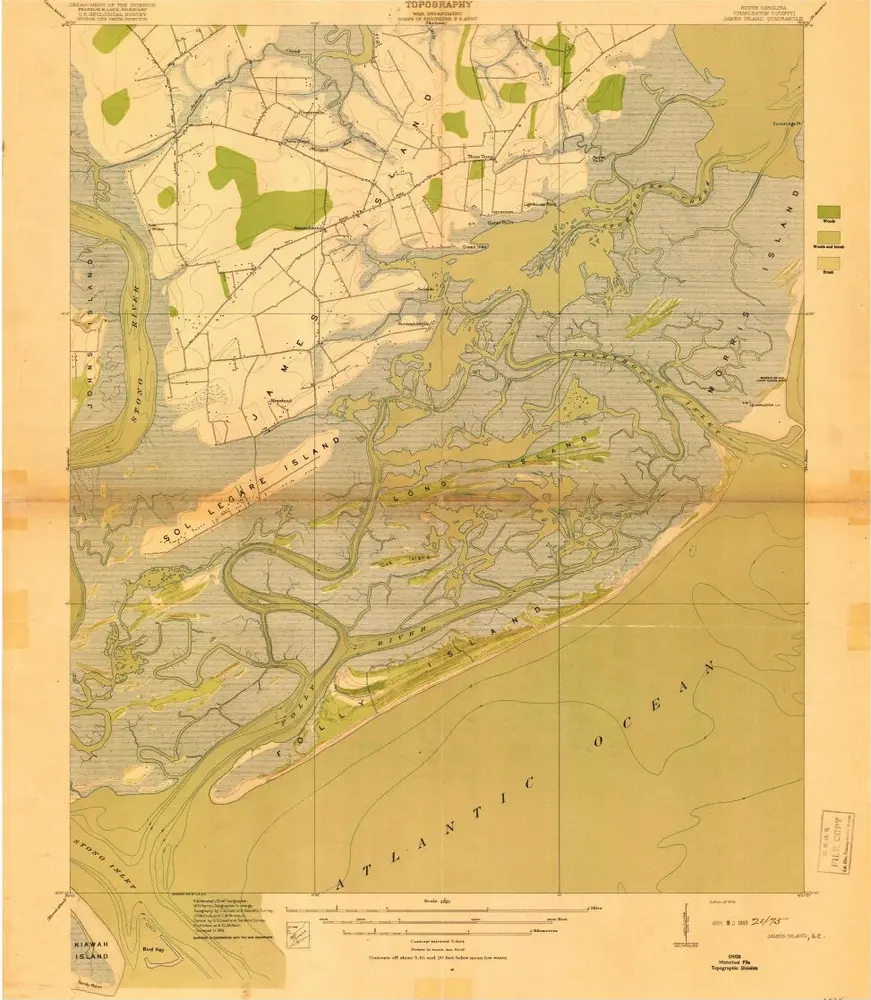
James Island
1943
1:24k
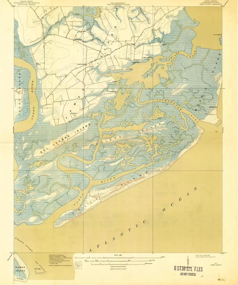
James Island
1943
1:24k
James Island
1919
1:21k
James Island
1919
1:21k
Charleston Harbor and its approaches showing the positions of the Rebel-batteries
1863
United States Coast Survey
1:30k
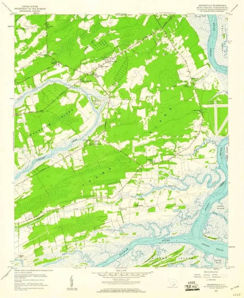
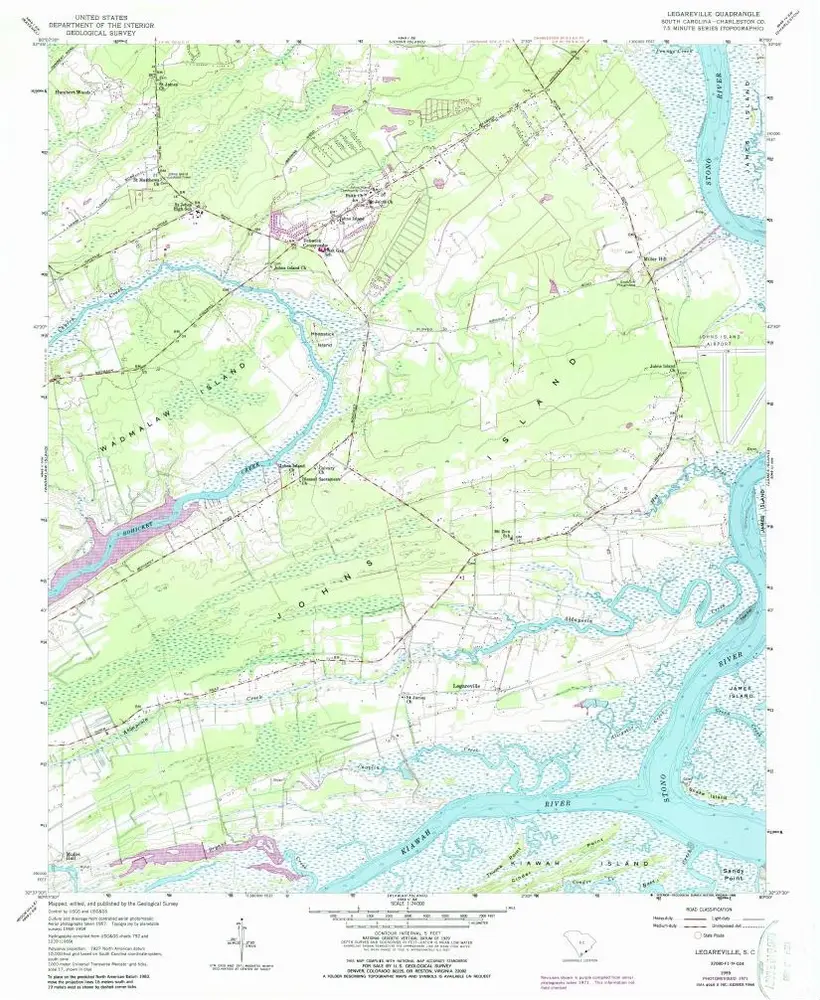
Legareville
1959
1:24k
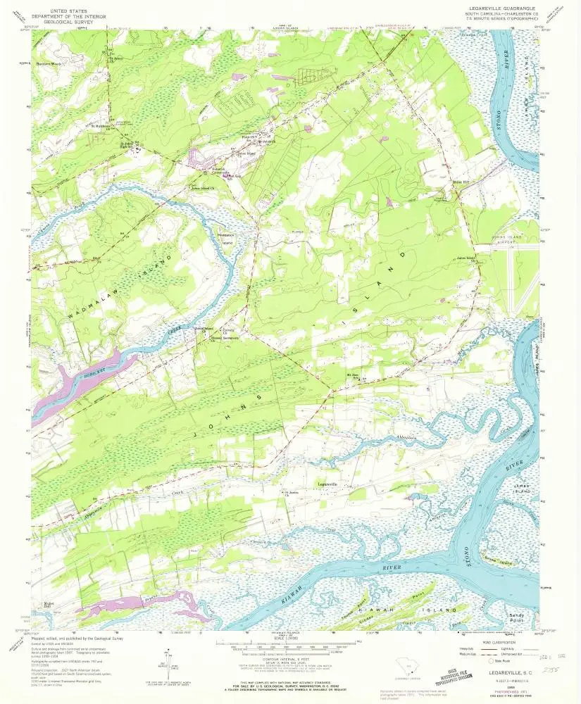
Legareville
1959
1:24k
Legareville
1959
1:24k
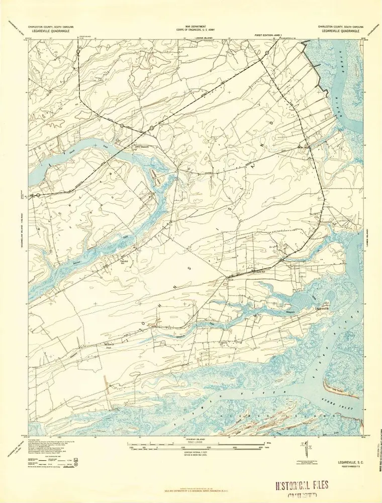
Legareville
1943
1:24k
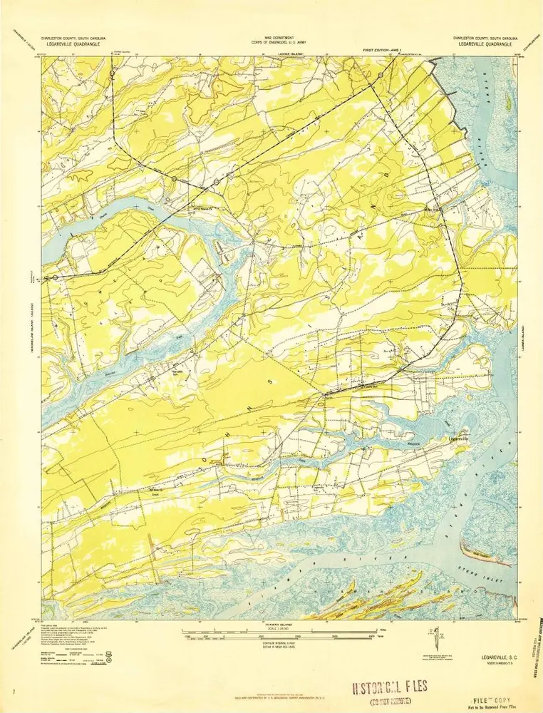
Legareville
1943
1:24k
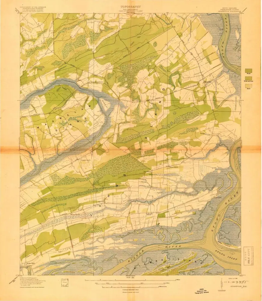
Legareville
1919
1:21k