Projekt
Wspólnota
Aktualności
Moja aplikacja
Moje mapy
Cataloged map
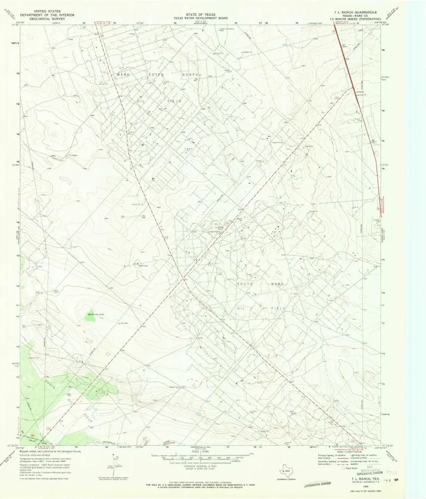
7 L Ranch
Wyświetlanie na zewnętrznej stronie internetowej
Zobacz zdigitalizowane
Institution:
United States Geological Survey
Full title:
7 L Ranch
Depicted:
1969
Pubdate:
1971
Map scale:
1:24 000
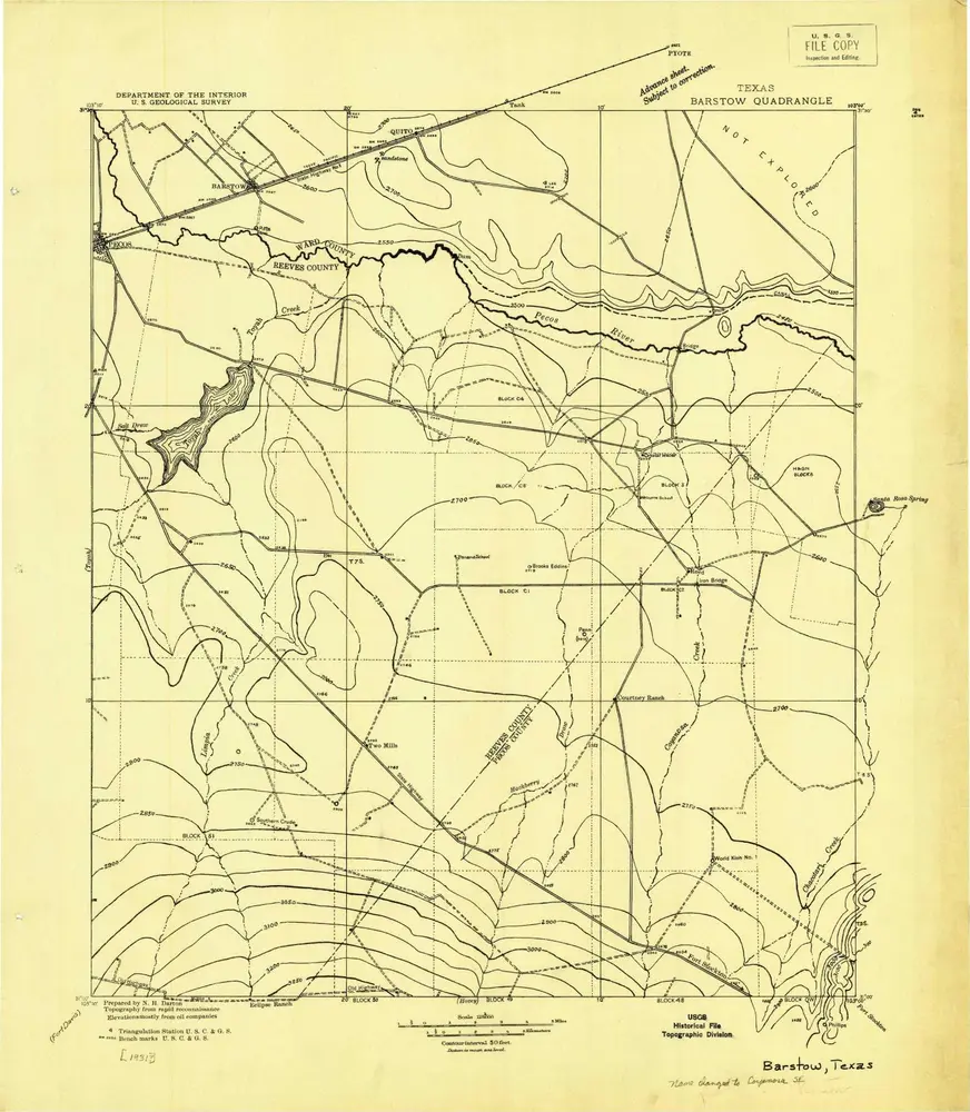
Barstow
1931
1:125k
7 L Ranch
1969
1:24k
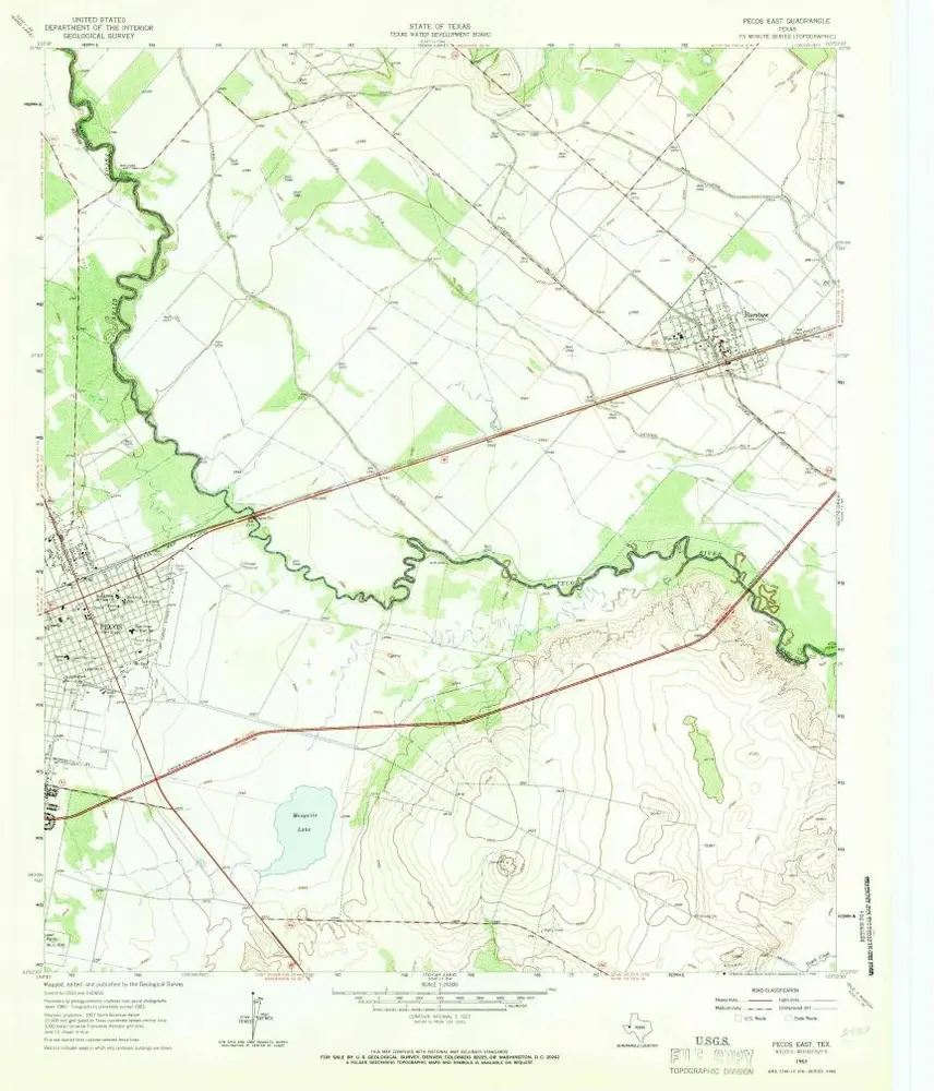
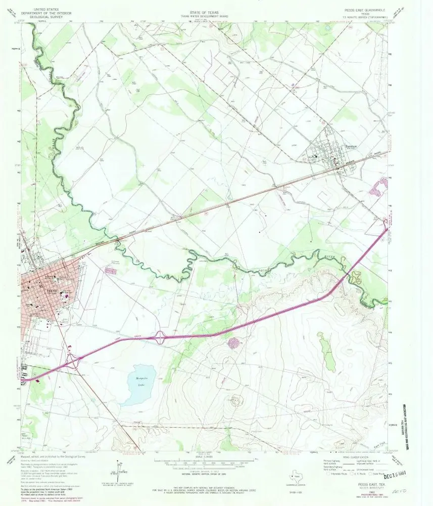
Pecos East
1963
1:24k
Pecos East
1963
1:24k
Quito Draw
1963
1:24k
Quito Draw
1963
1:24k
China Lake
1963
1:24k
China Lake
1963
1:24k
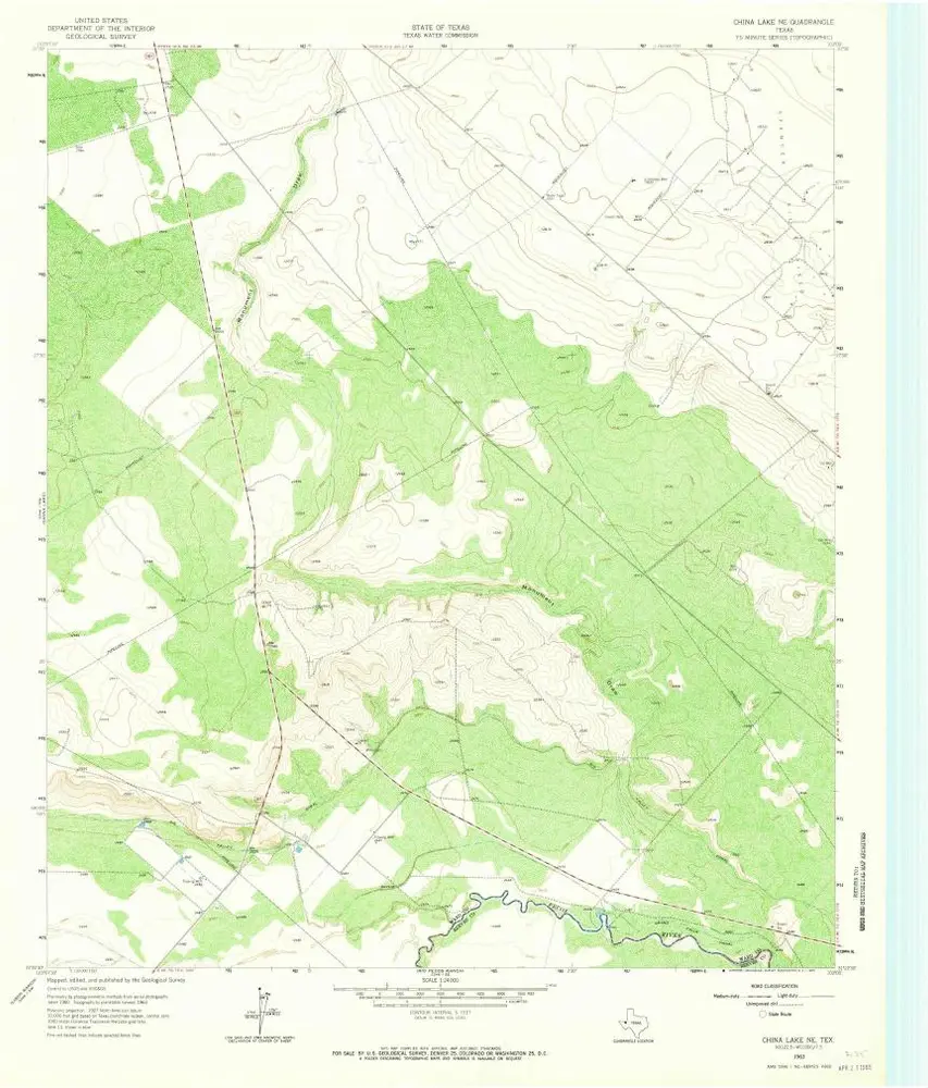
China Lake NE
1963
1:24k
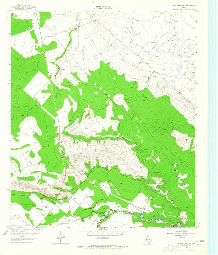
China Lake NE
1963
1:24k
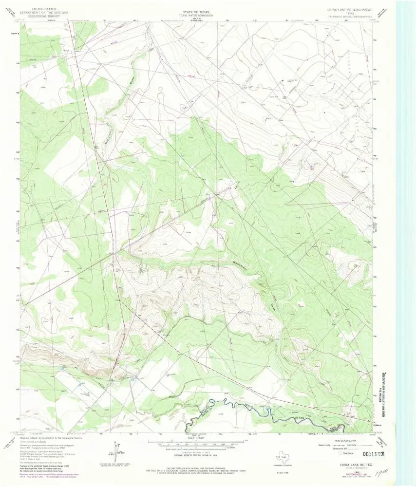
China Lake NE
1963
1:24k
History