Projekt
Wspólnota
Aktualności
Moja aplikacja
Moje mapy
Katalogisierte Karte
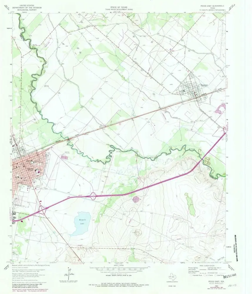
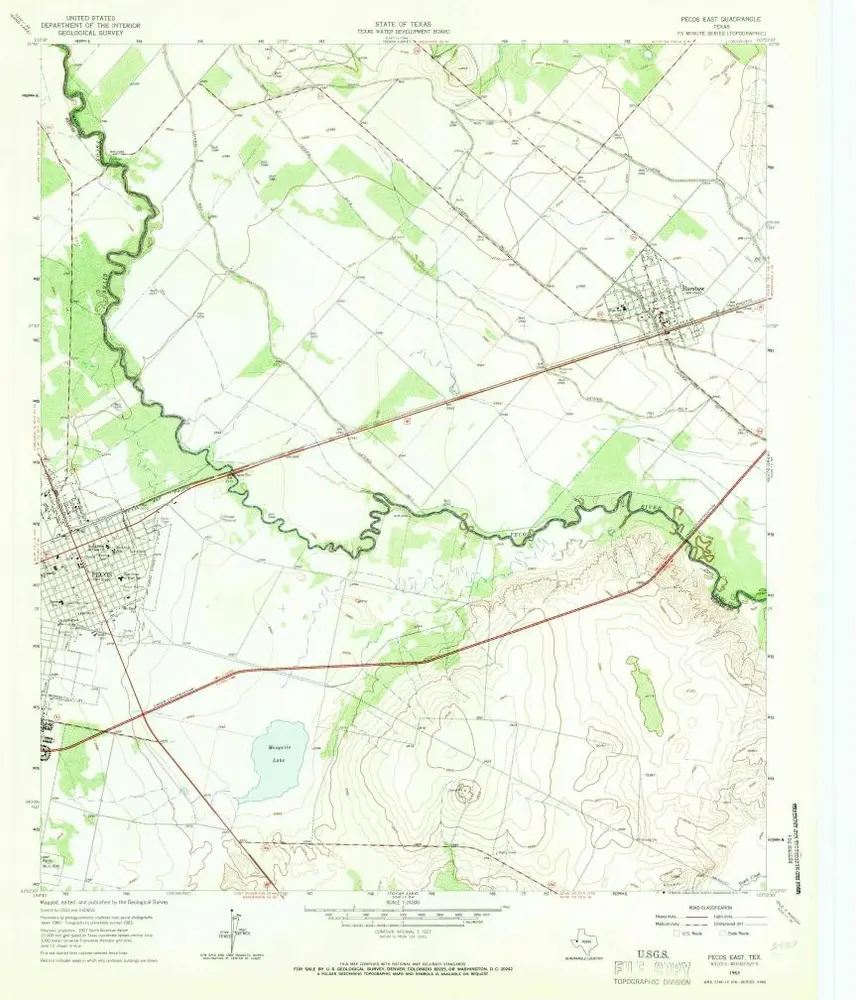
Pecos East
Wyświetlanie na zewnętrznej stronie internetowej
Zobacz zdigitalizowane
Einrichtung:
United States Geological Survey
Vollständiger Titel:
Pecos East
Jahr der Abbildung:
1963
Veröffentlichungsdatum:
1981
Maßstab der Karte:
1:24 000
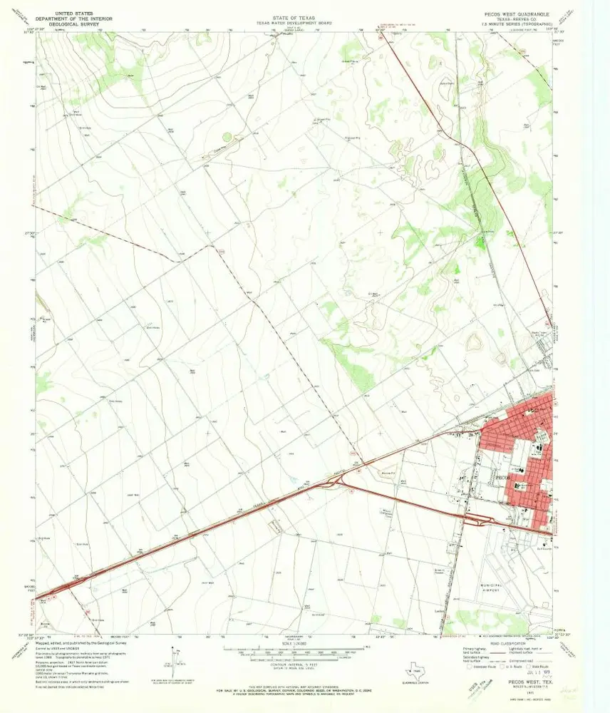
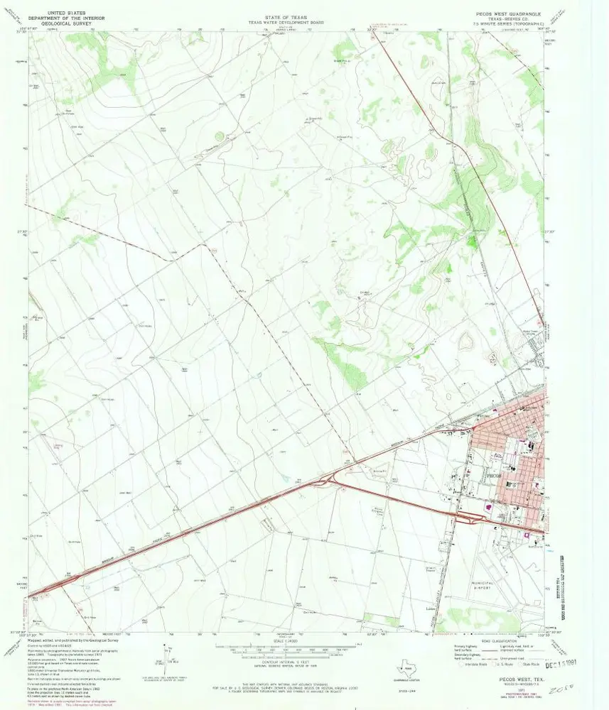
Pecos West
1971
1:24k
Pecos West
1971
1:24k
Pecos East
1963
1:24k
Pecos East
1963
1:24k
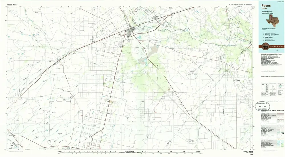
Pecos
1986
1:100k
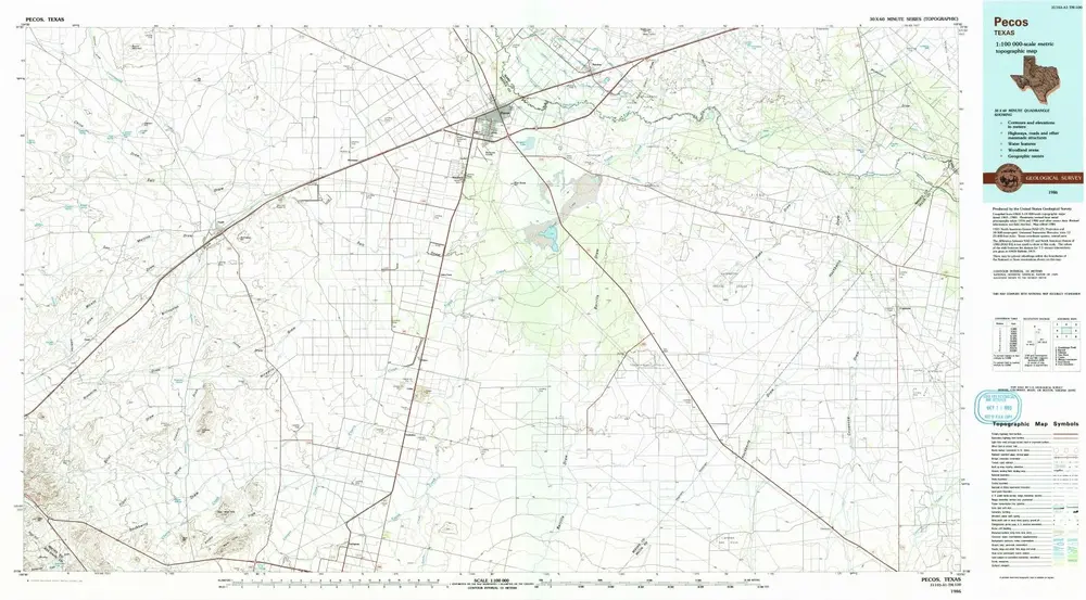
Pecos
1986
1:100k
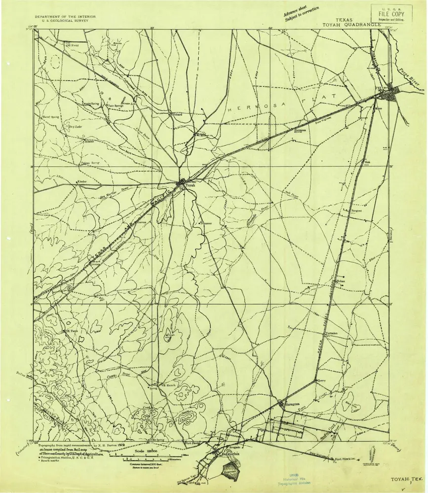
Toyah
1921
1:125k
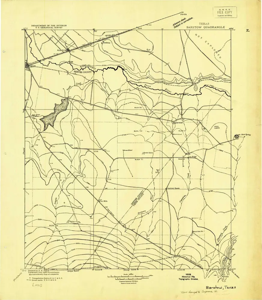
Barstow
1931
1:125k
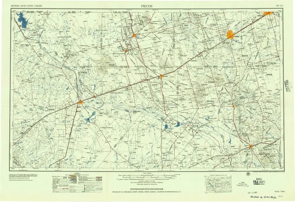
Pecos
1957
1:250k
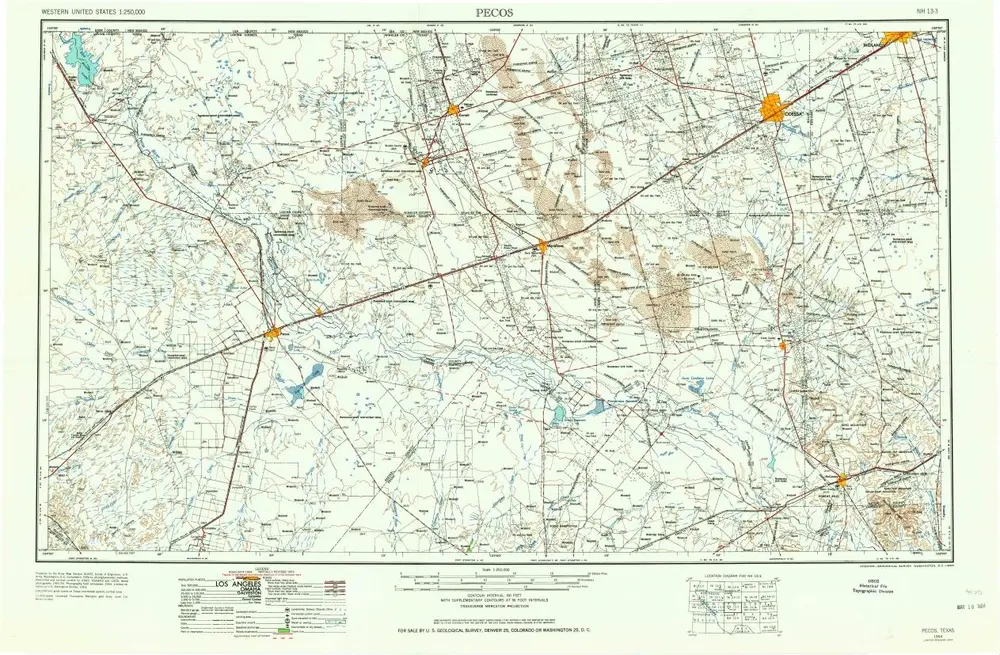
Pecos
1954
1:250k
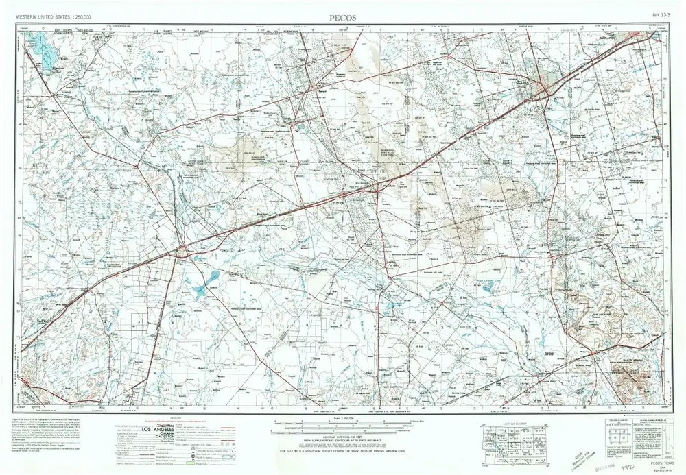
Pecos
1954
1:250k
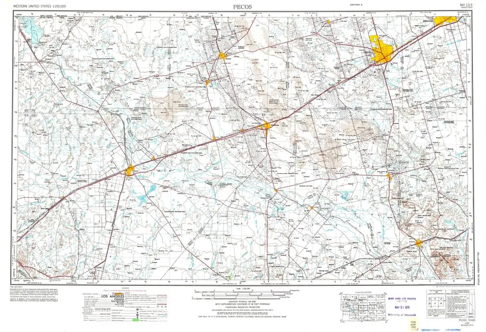
Pecos
1954
1:250k
Geschichte