Progetto
Comunità
Notizie
La mia app
Le mie mappe
Cataloged map
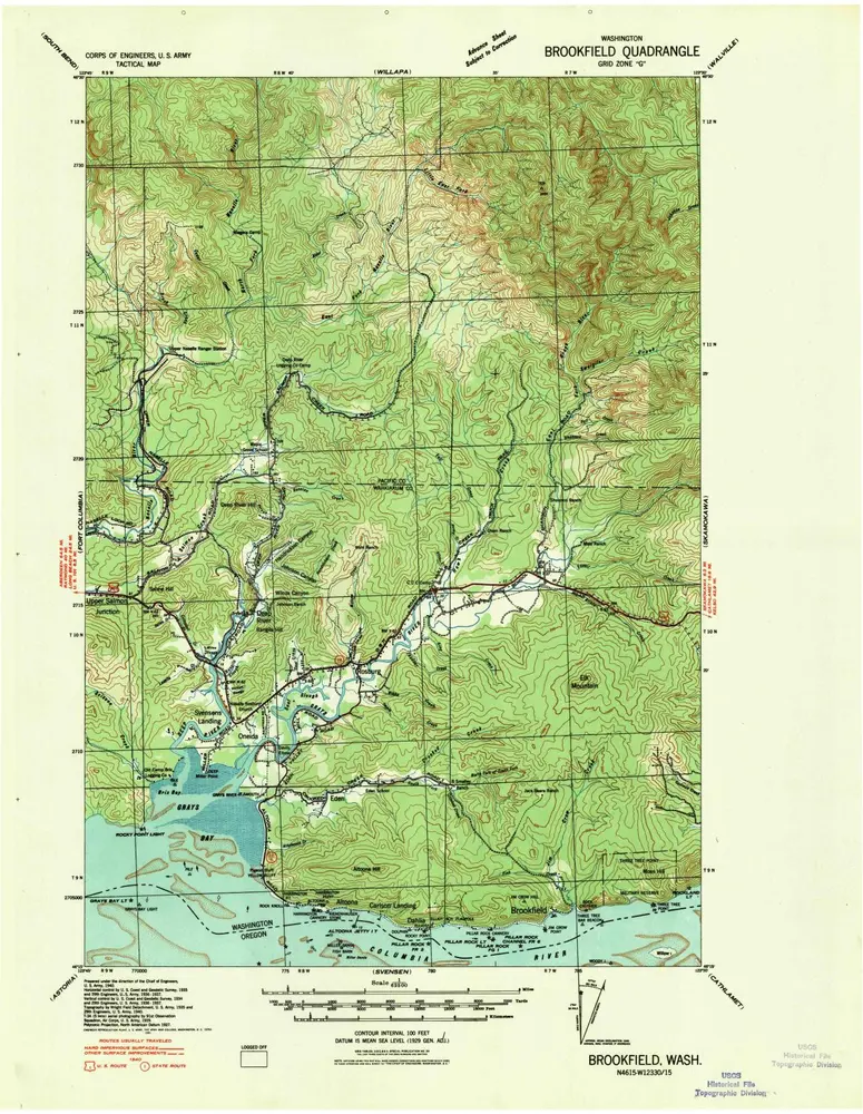
Brookfield
Visualizza sul sito web esterno
Visualizza digitalizzato
Institution:
United States Geological Survey
Full title:
Brookfield
Depicted:
1940
Map scale:
1:62 500
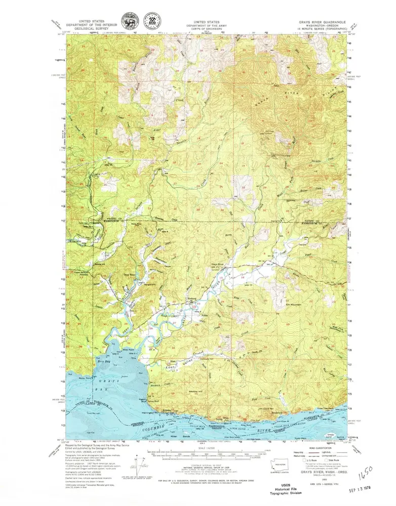
Grays River
1955
1:63k
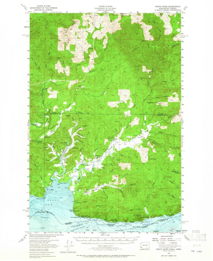
Grays River
1955
1:63k
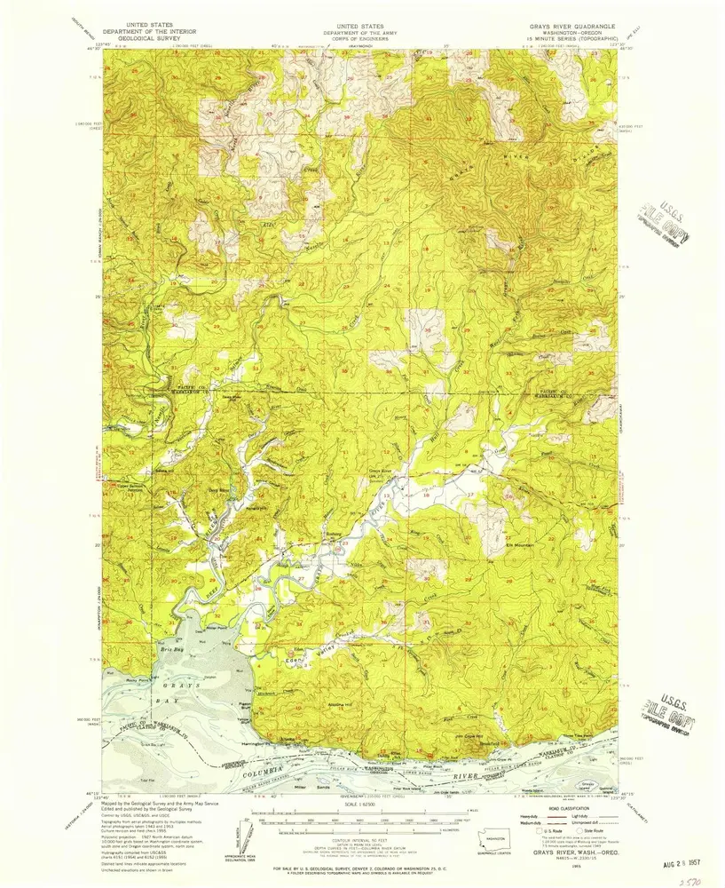
Grays River
1955
1:63k
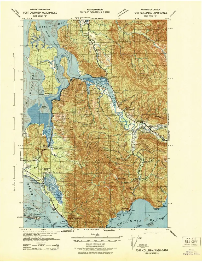
Fort Columbia
1943
1:63k
Brookfield
1940
1:63k
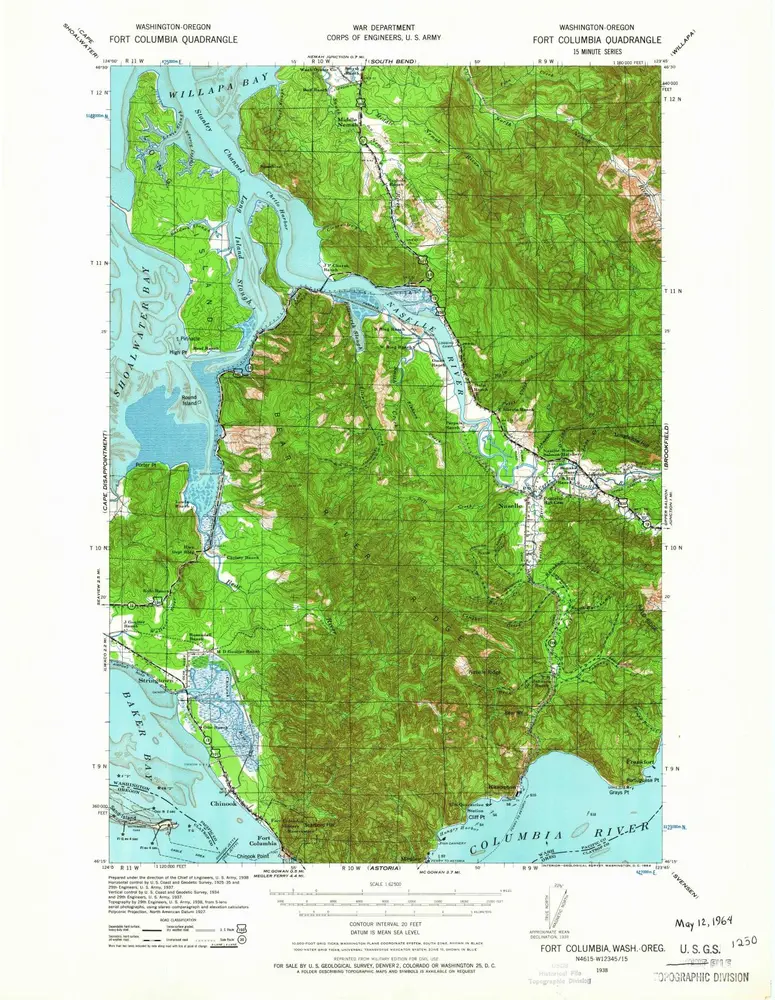
Fort Columbia
1938
1:63k
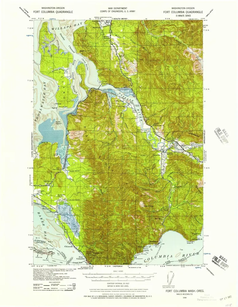
Fort Columbia
1938
1:63k
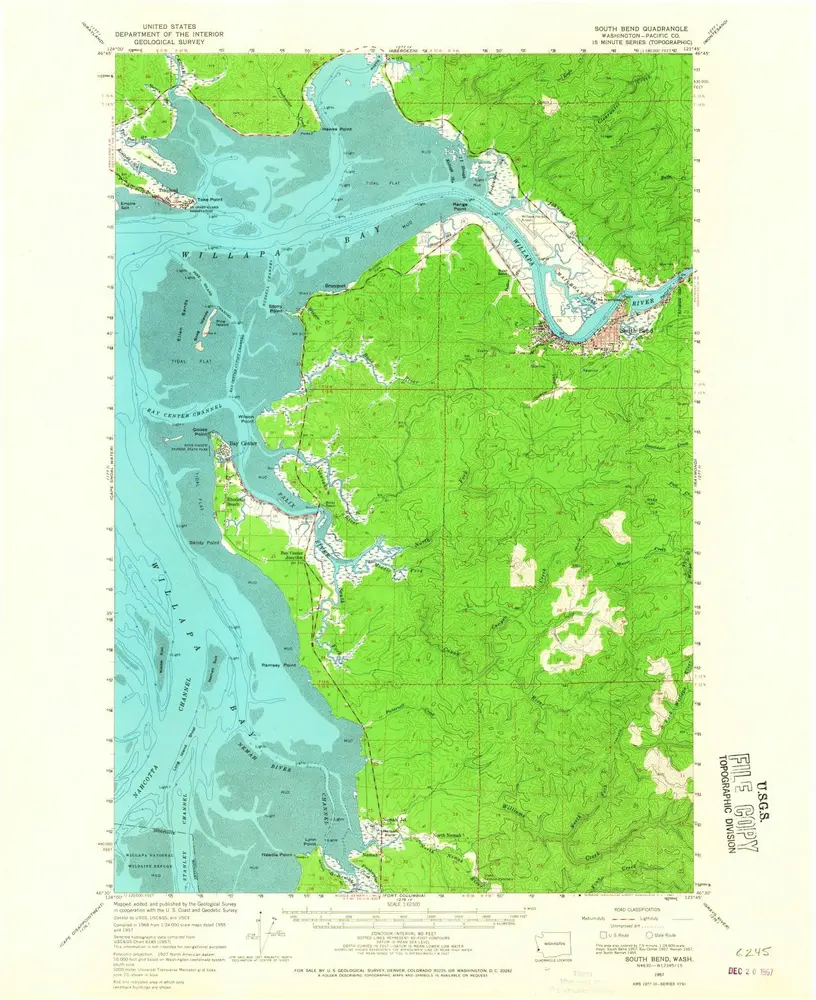
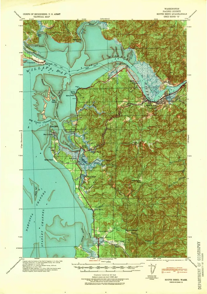
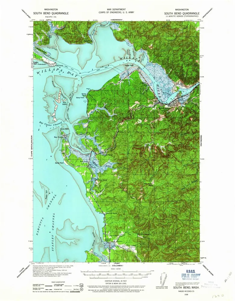
South Bend
1957
1:63k
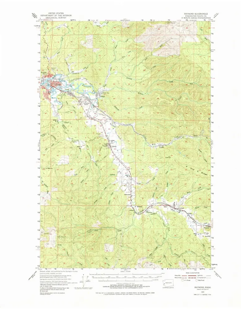
Raymond
1955
1:63k
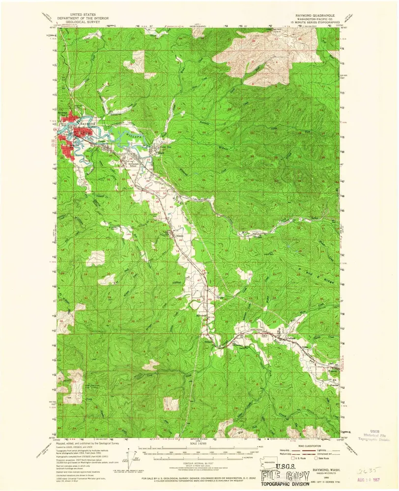
Raymond
1955
1:63k
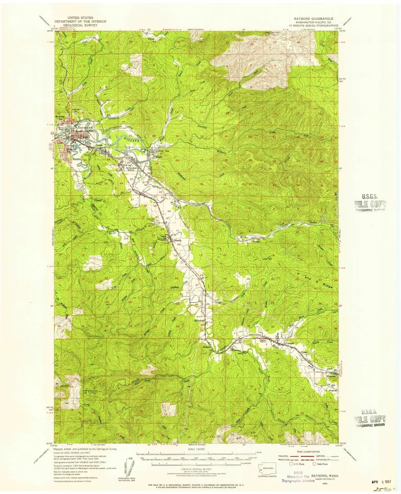
Raymond
1955
1:63k
South Bend
1940
1:63k
South Bend
1938
1:63k
History