Progetto
Comunità
Notizie
La mia app
Le mie mappe
Katalogisierte Karte
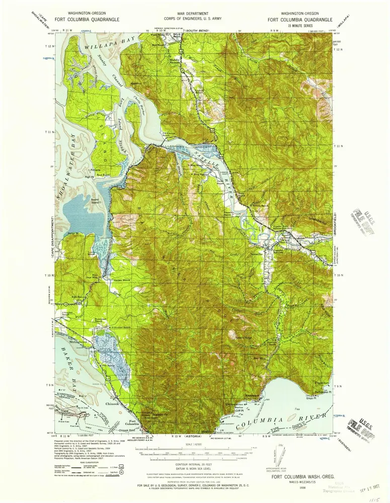
Fort Columbia
Visualizza sul sito web esterno
Visualizza digitalizzato
Einrichtung:
United States Geological Survey
Vollständiger Titel:
Fort Columbia
Jahr der Abbildung:
1938
Veröffentlichungsdatum:
1957
Maßstab der Karte:
1:62 500
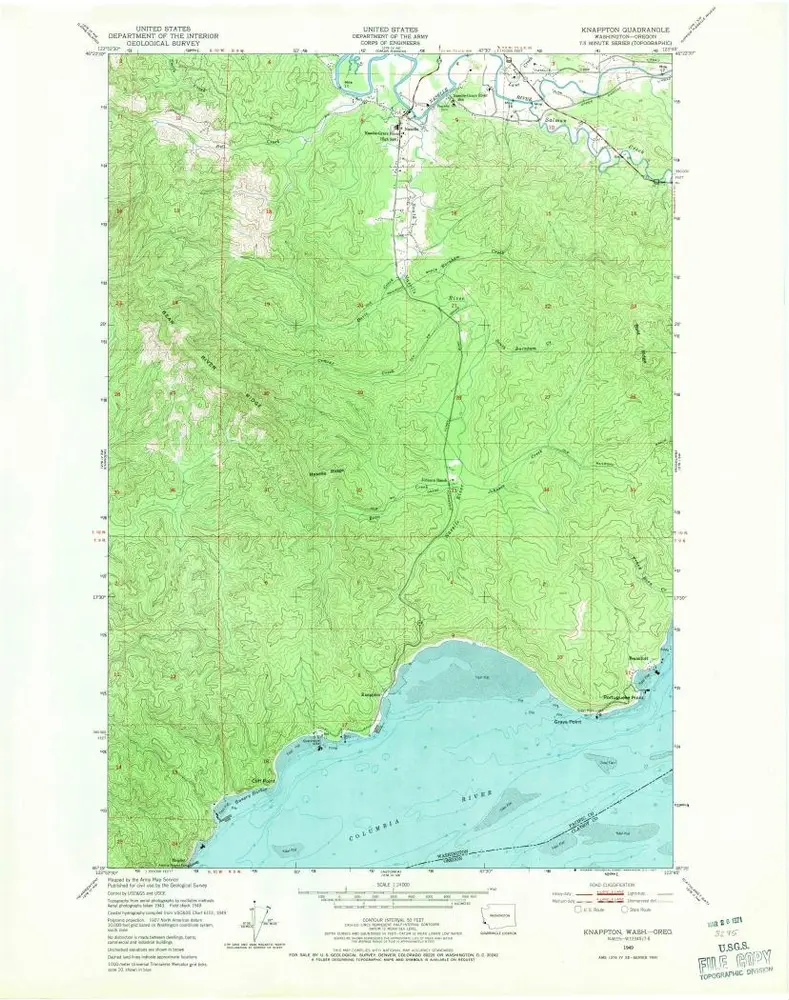
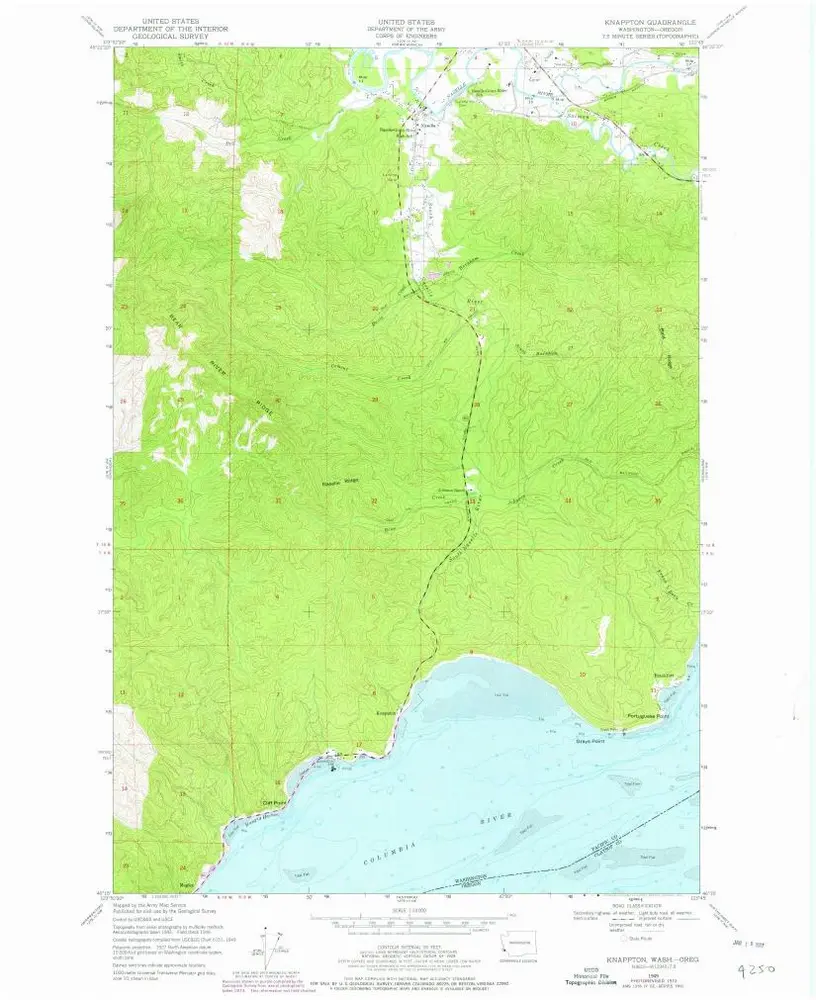
Knappton
1949
1:24k
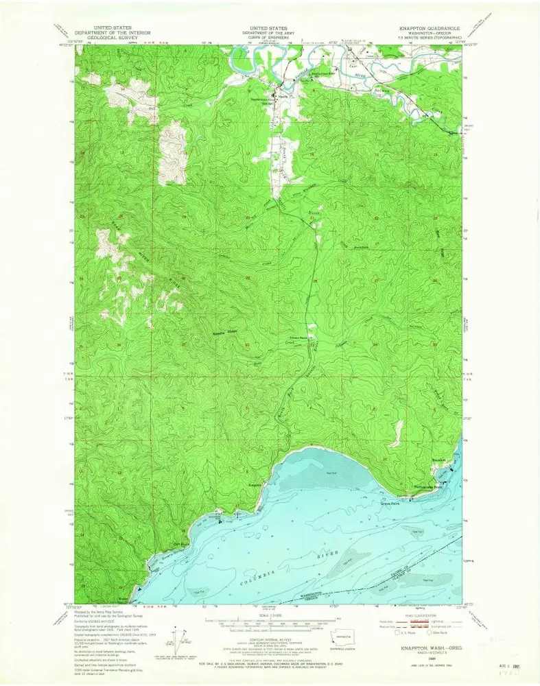
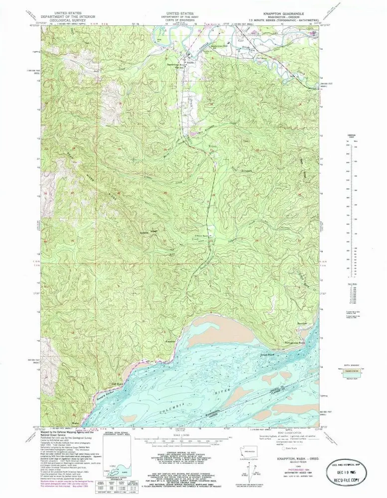
Knappton
1949
1:24k
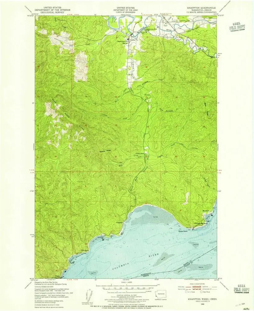
Knappton
1949
1:24k
Knappton
1949
1:24k
Knappton
1949
1:24k
Fort Columbia
1943
1:63k
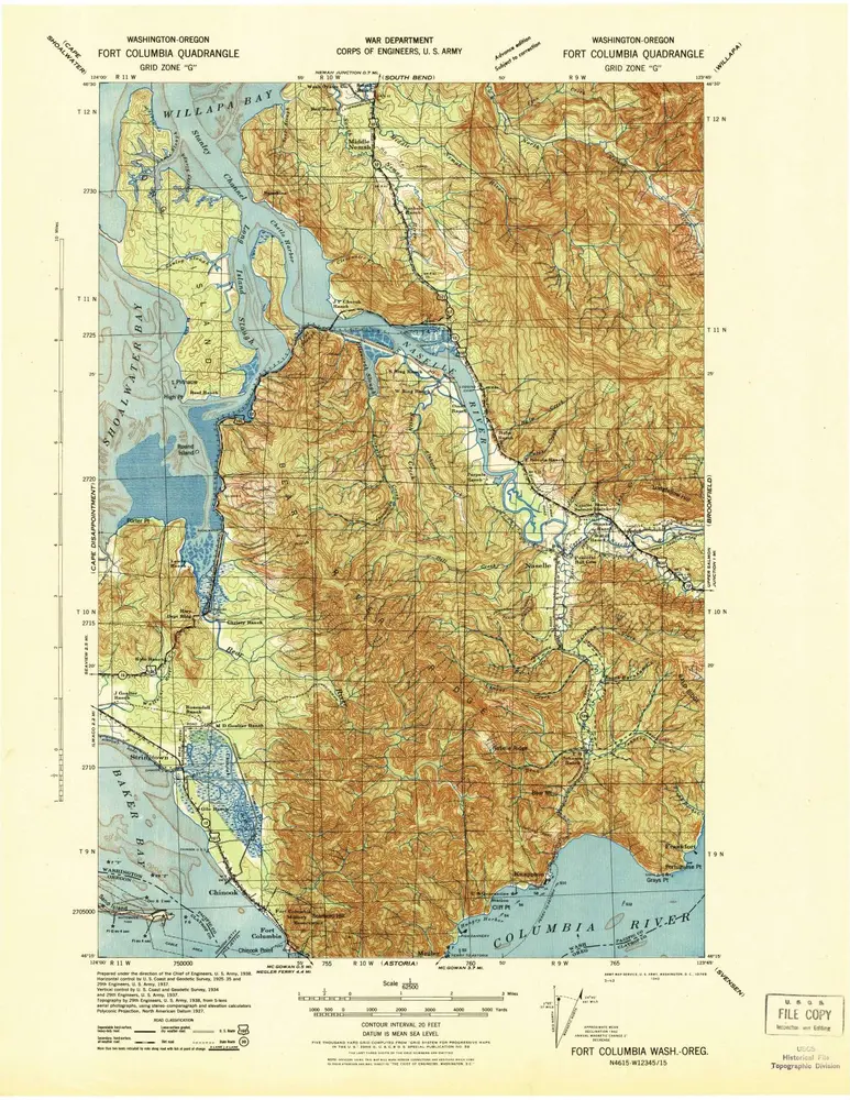
Fort Columbia
1938
1:63k
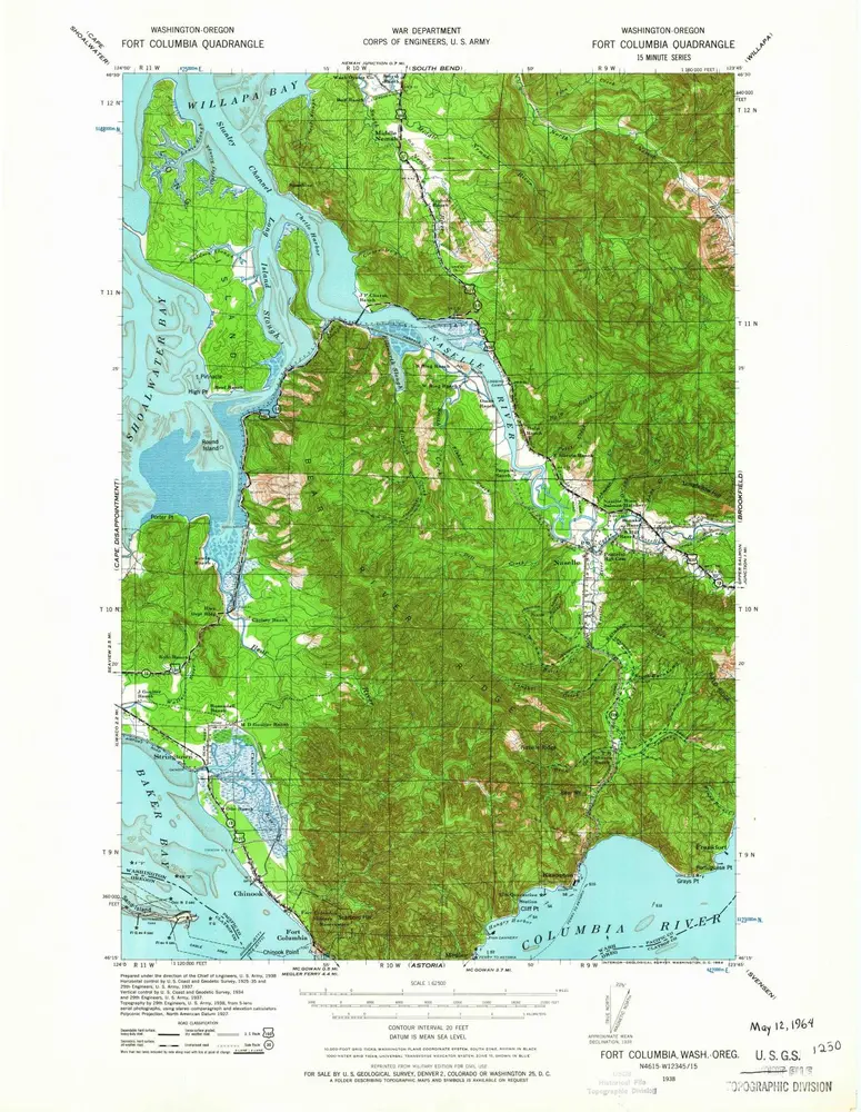
Fort Columbia
1938
1:63k
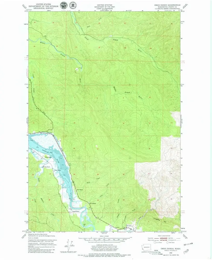
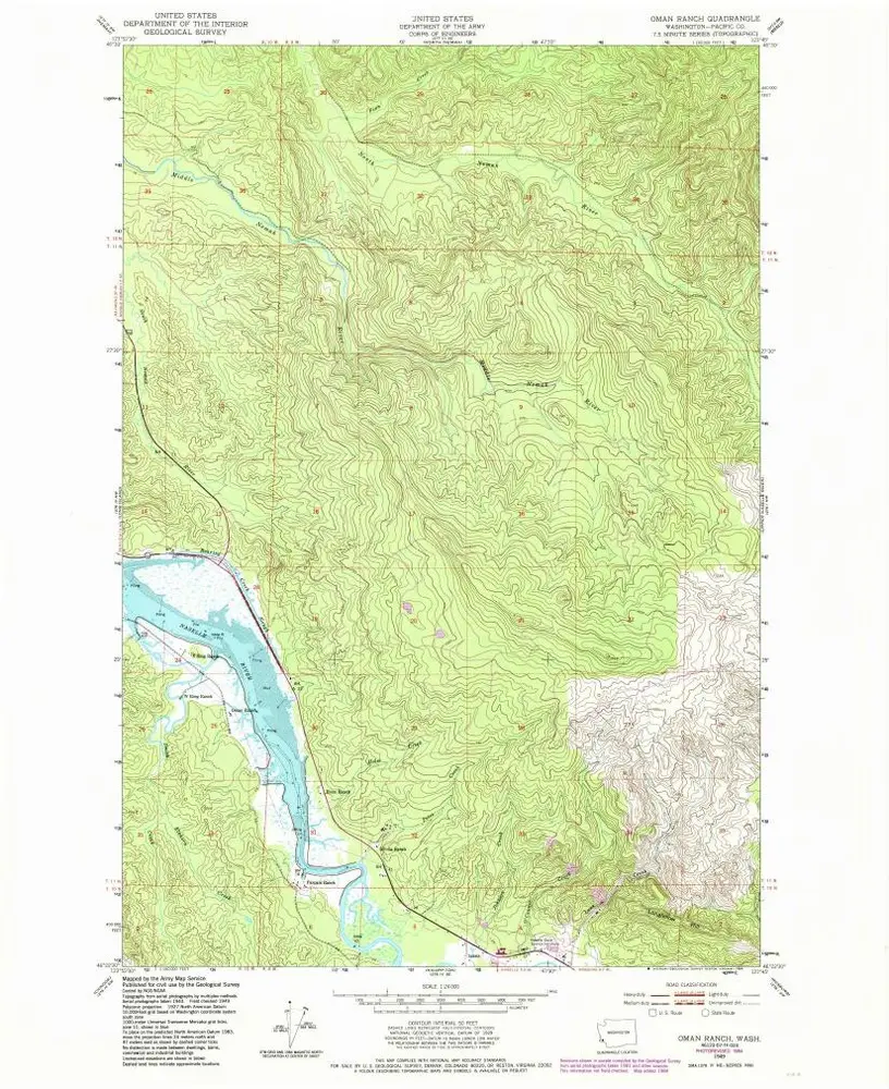
Oman Ranch
1949
1:24k
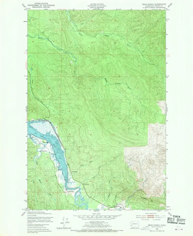
Oman Ranch
1949
1:24k
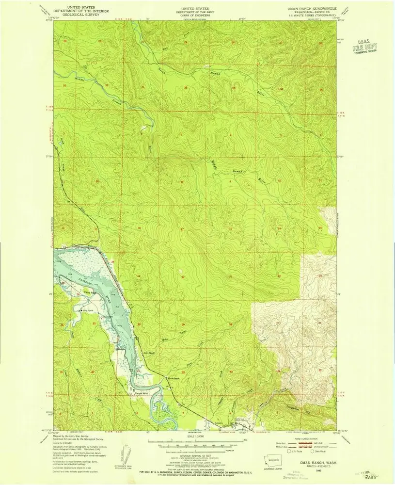
Oman Ranch
1949
1:24k
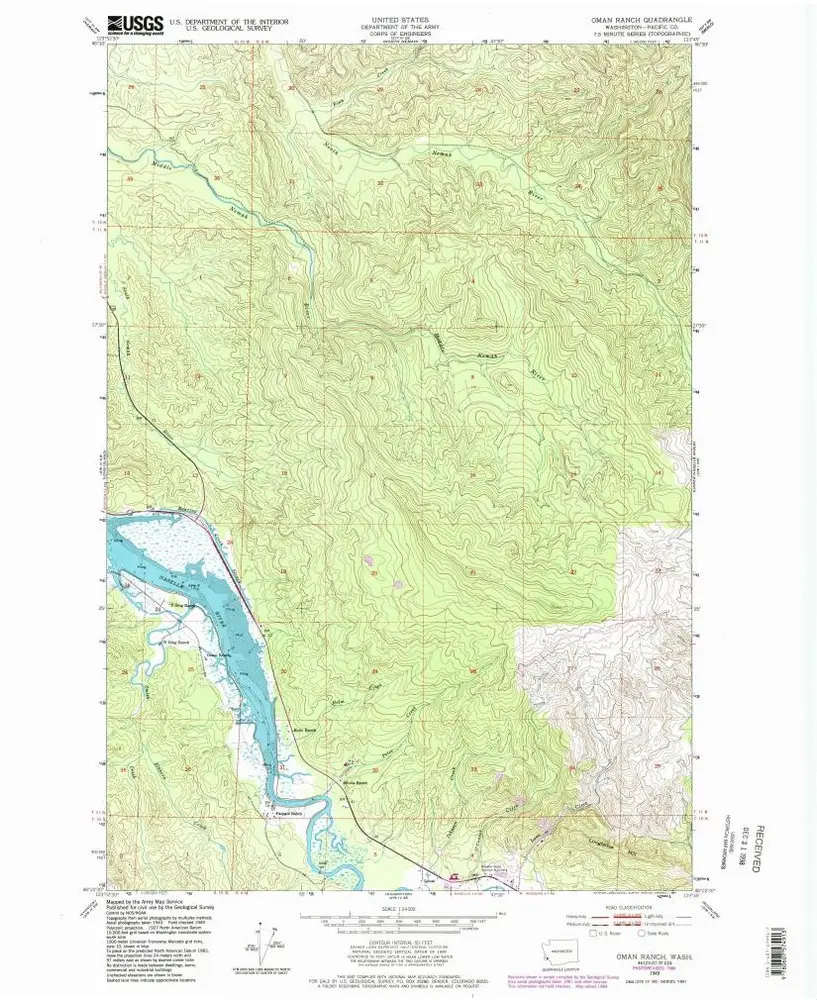
Oman Ranch
1949
1:24k
Oman Ranch
1949
1:24k
Geschichte