编目地图
Georgia, from the latest authorities

机构:community
完整标题:Georgia, from the latest authorities
描述:1796
出版商:Reid, Wayland & Smith
地图比例尺:1:3 000 000
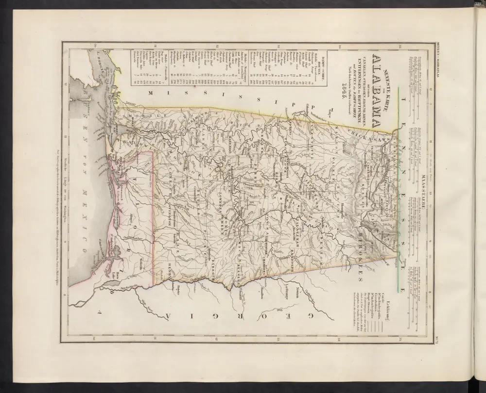
Neueste Karte von Alabama mit seinen Canaelen, Strassen, Eisenbahnen, Entfernungen der Hauptpunkte und Routen für Dampfschiffe
1860
Meyer, J.
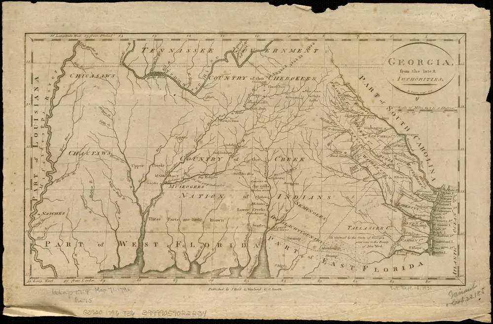
Georgia, from the latest authorities
1796
Tanner, Benjamin
1:3m
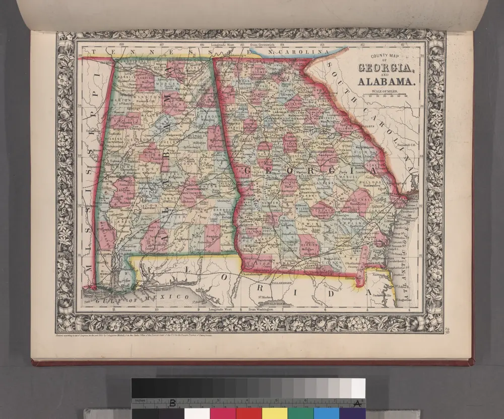
County map of Georgia and Alabama.
1860
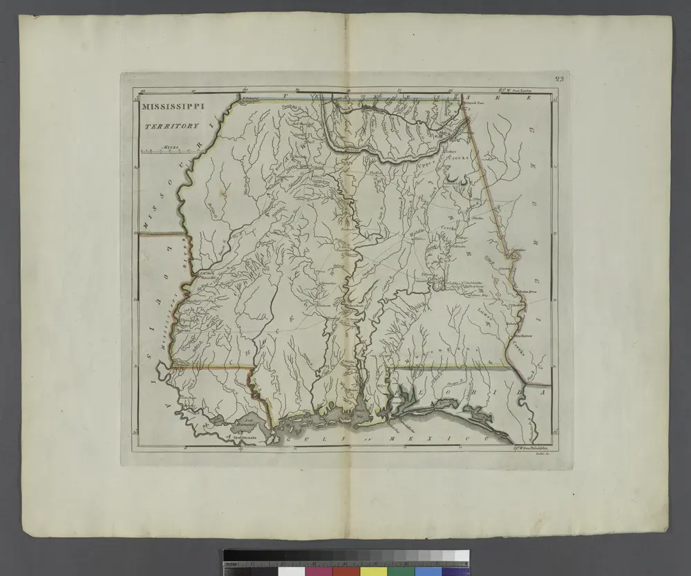
Mississippi Territory.
1814
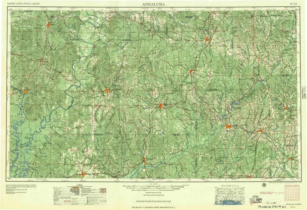
Andalusia
1957
1:250k
Andalusia
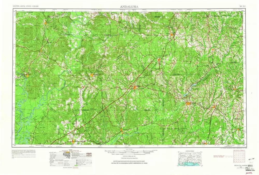
1953
1:250k
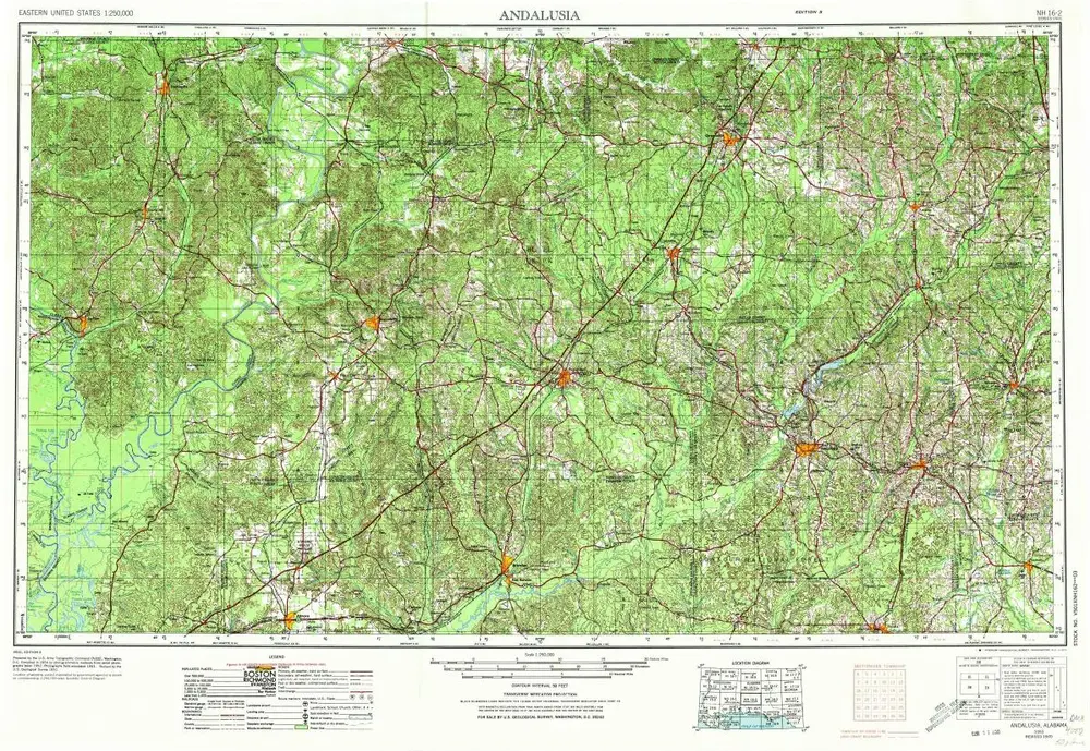
Andalusia
1953
1:250k
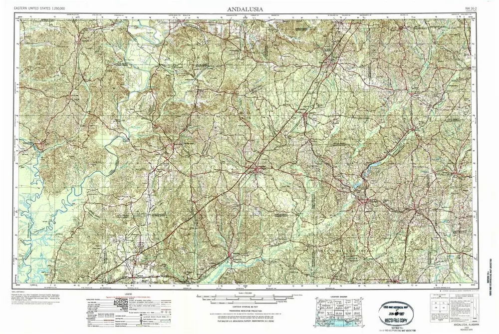
Andalusia
1953
1:250k
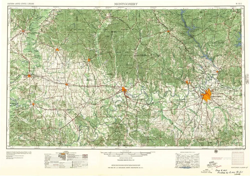
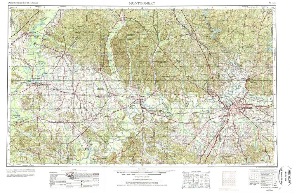
Montgomery
1957
1:250k
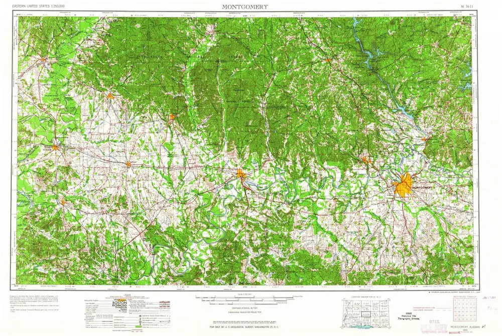
Montgomery
1953
1:250k
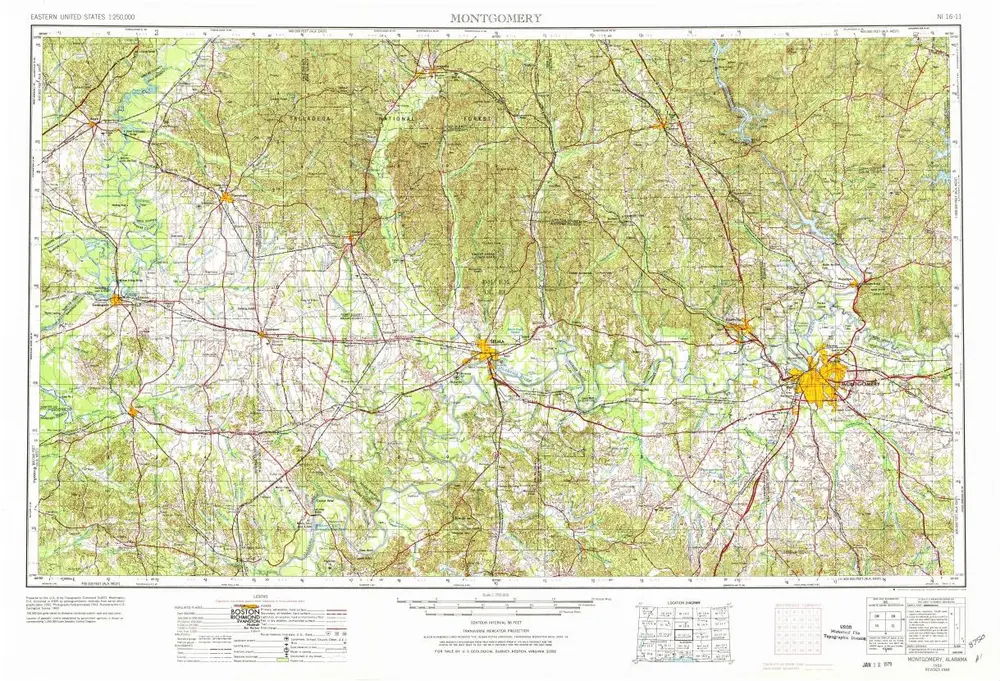
Montgomery
1953
1:250k
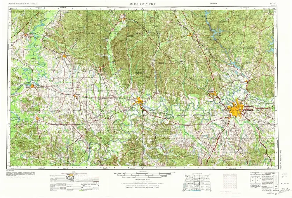
Montgomery
1953
1:250k
Montgomery
1953
1:250k