Projet
Communauté
Actualités
Mon appli
Mes cartes
Katalogisierte Karte
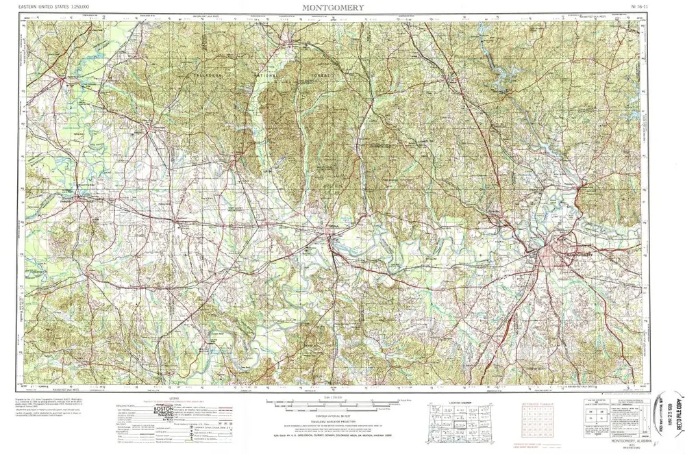
Montgomery
Voir sur le site web externe
Voir numérisé
Einrichtung:
United States Geological Survey
Vollständiger Titel:
Montgomery
Jahr der Abbildung:
1953
Veröffentlichungsdatum:
1978
Maßstab der Karte:
1:250 000
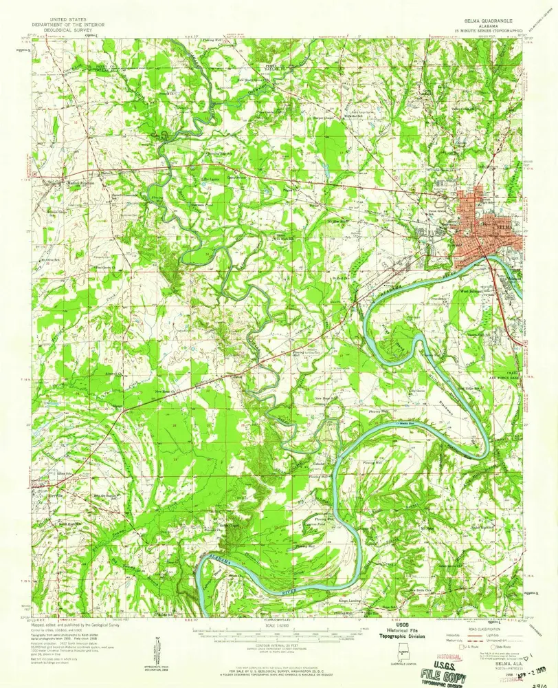
Selma
1958
1:63k
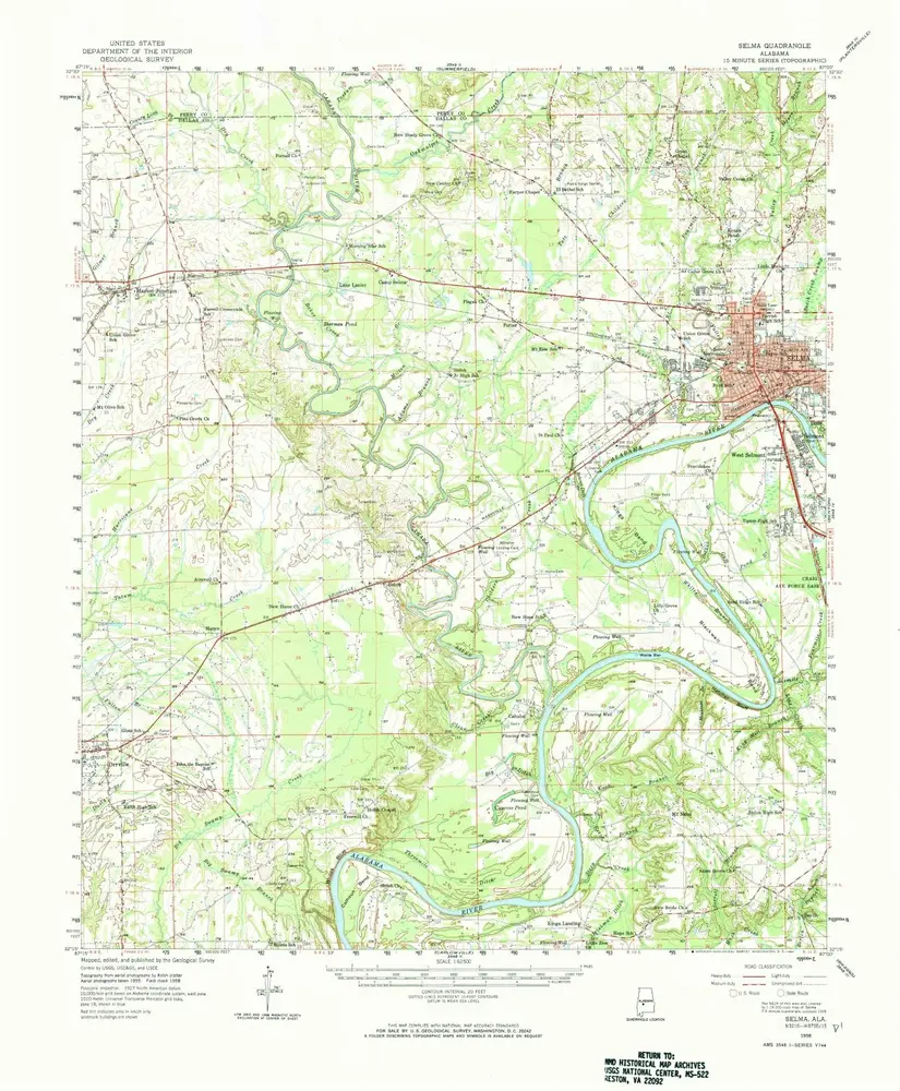
Selma
1958
1:63k
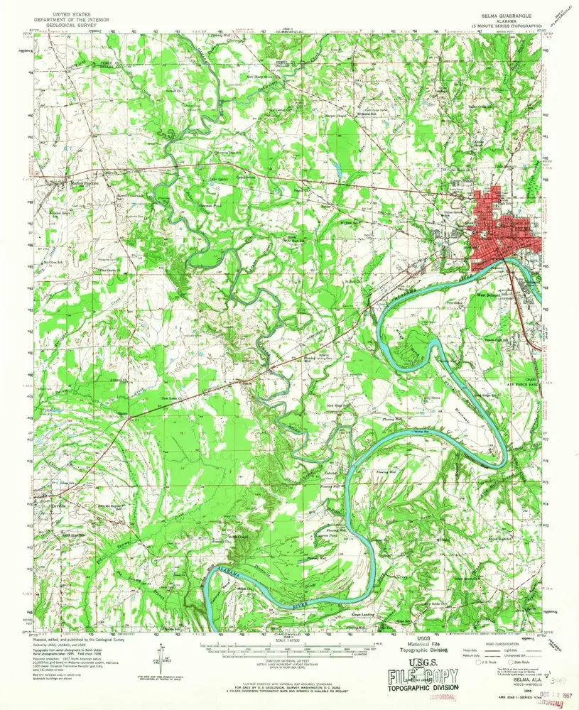
Selma
1958
1:63k
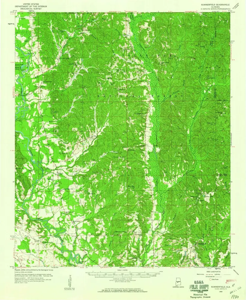
Summerfield
1959
1:63k
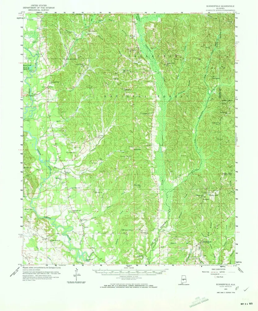
Summerfield
1959
1:63k
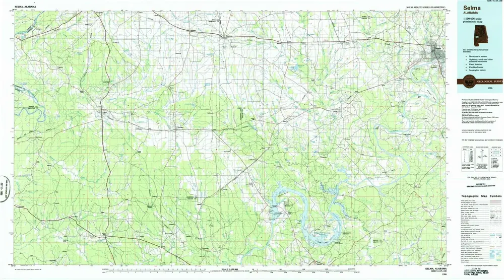
Selma
1986
1:100k
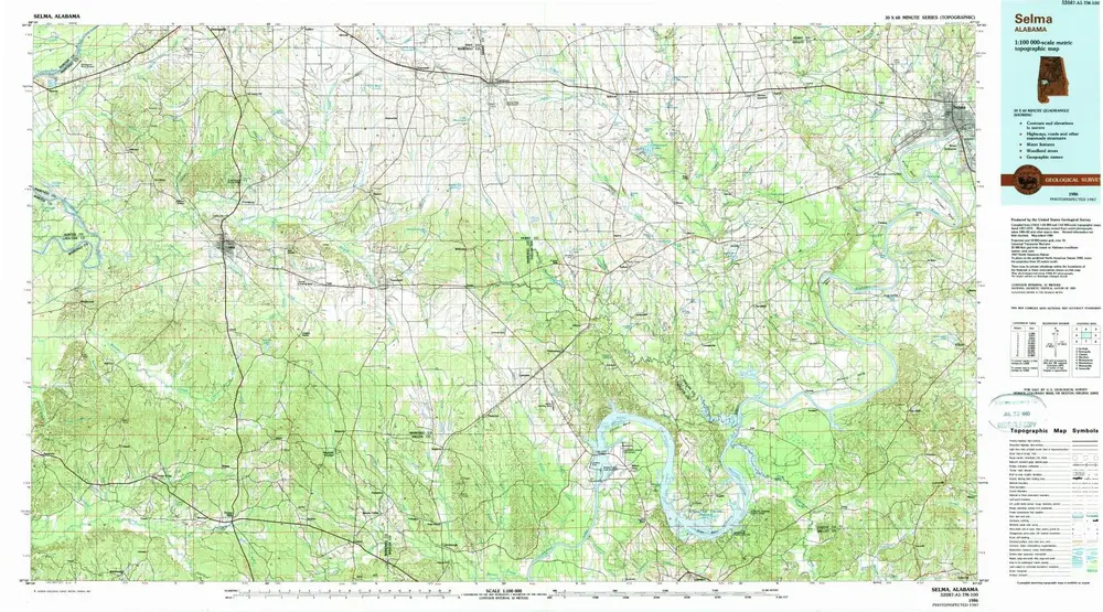
Selma
1986
1:100k
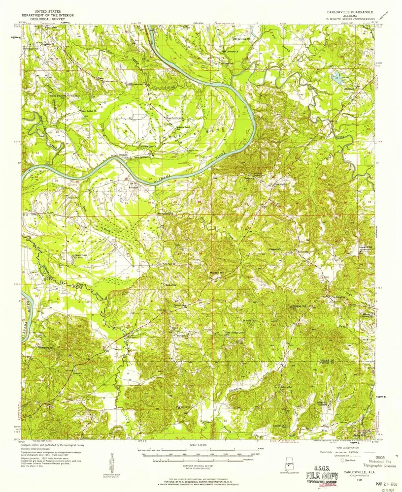
Carlowville
1957
1:63k
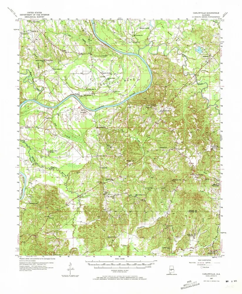
Carlowville
1957
1:63k
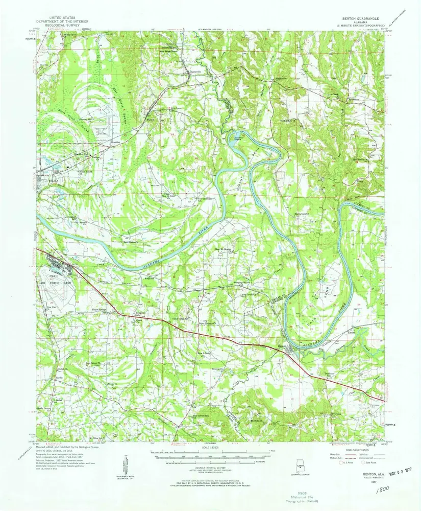
Benton
1957
1:63k
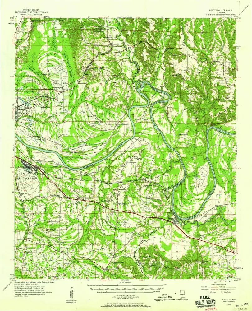
Benton
1957
1:63k
Geschichte