Project
Community
News
My App
My maps
Mapa catalogado
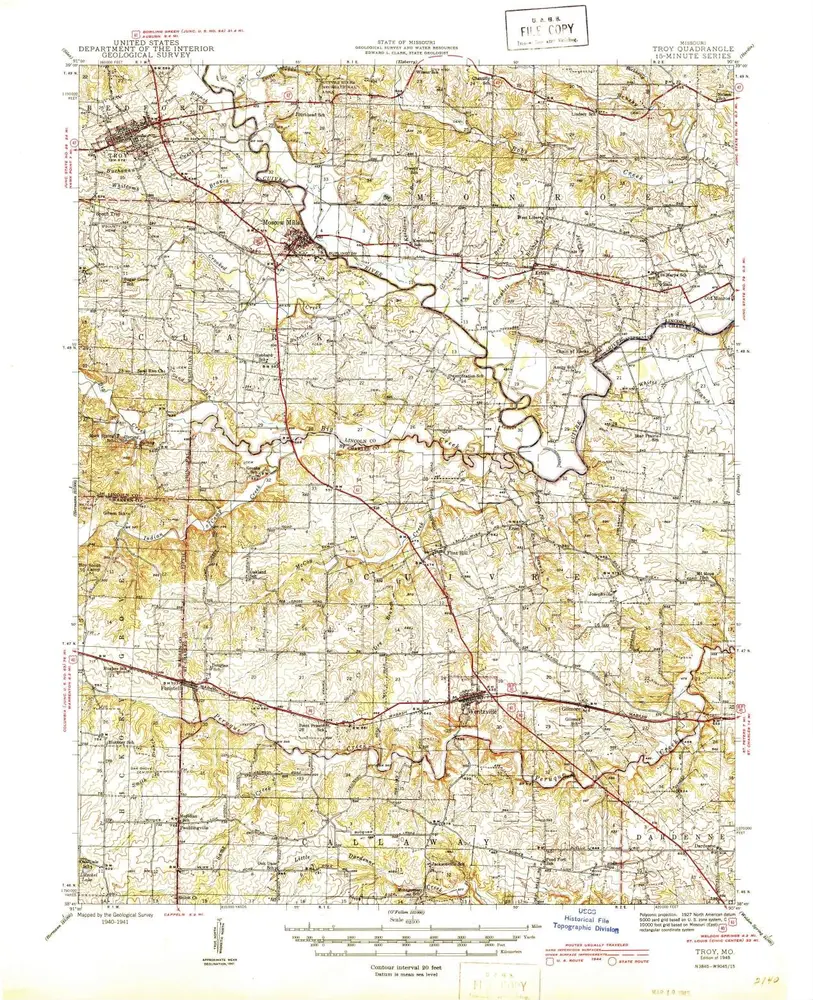
Troy
View on external website
Institución:
United States Geological Survey
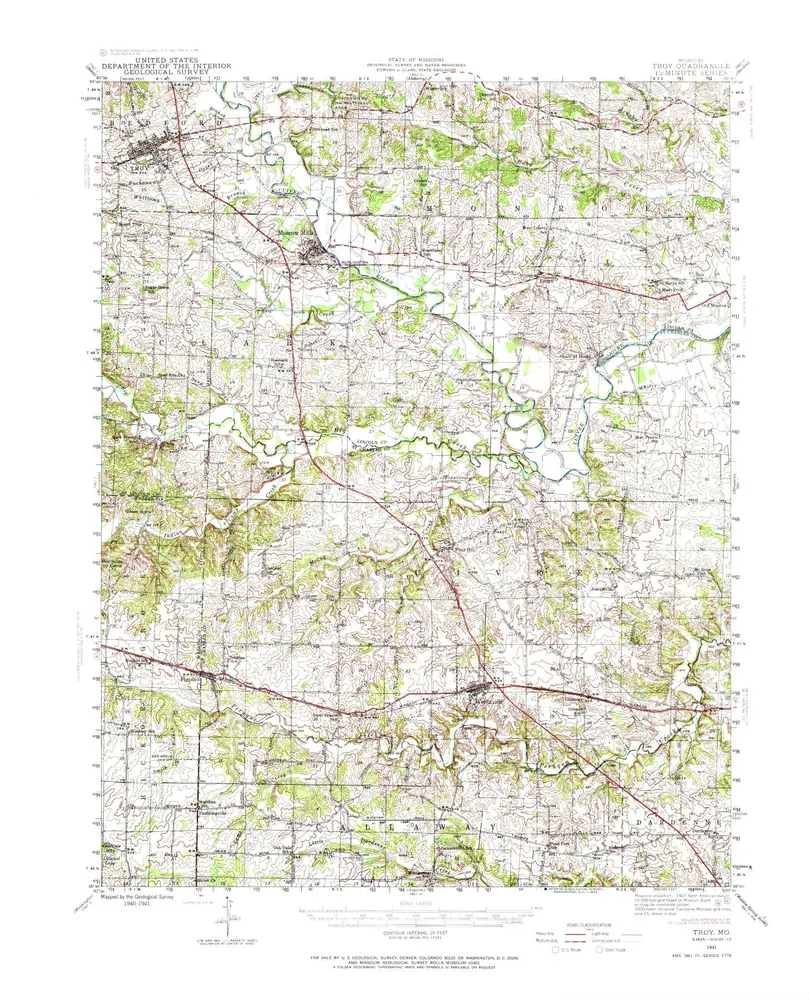
Título completo:
Troy
Año de ilustración:
1945
Escala del mapa:
1:62 500
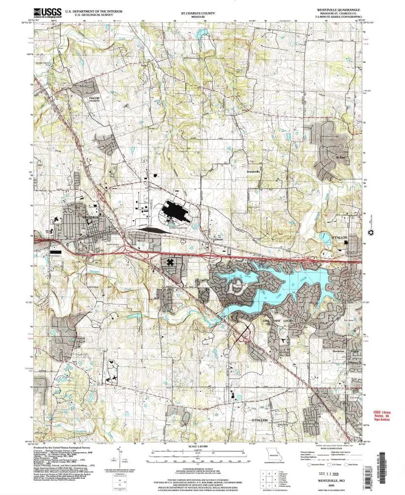
Wentzville
2000
1:24k
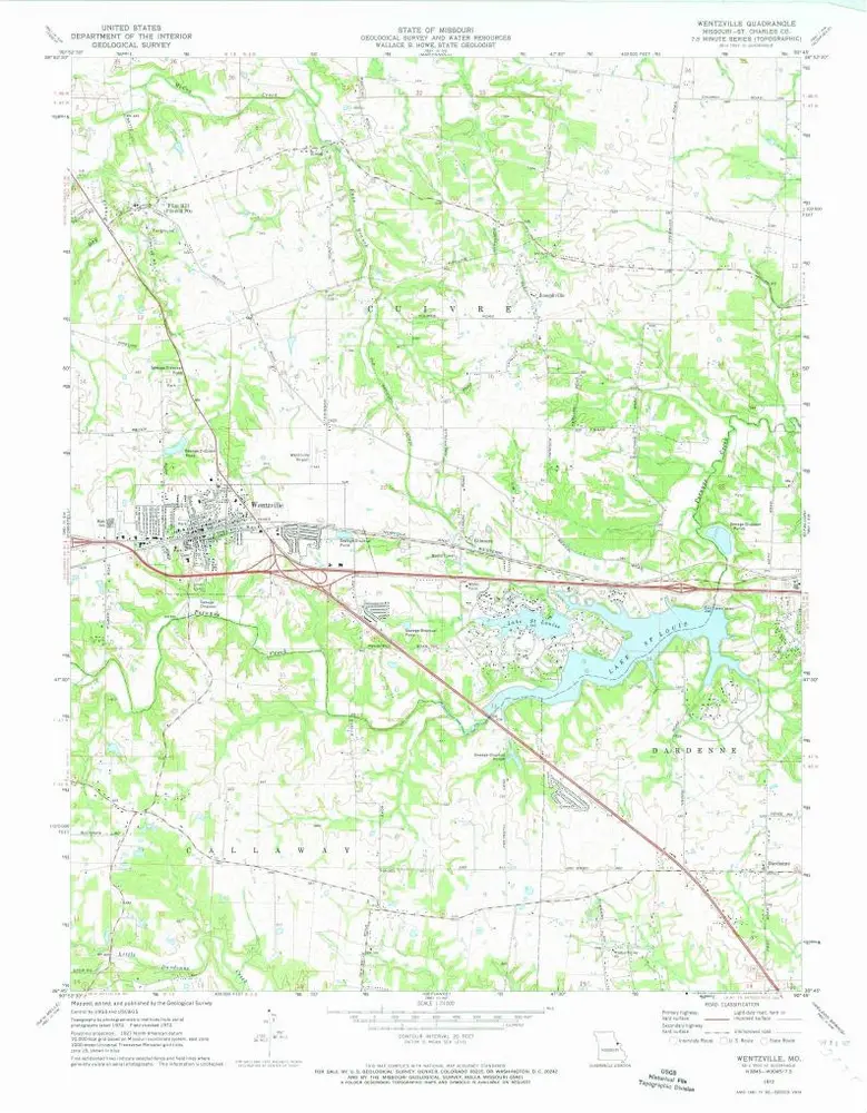
Wentzville
1972
1:24k
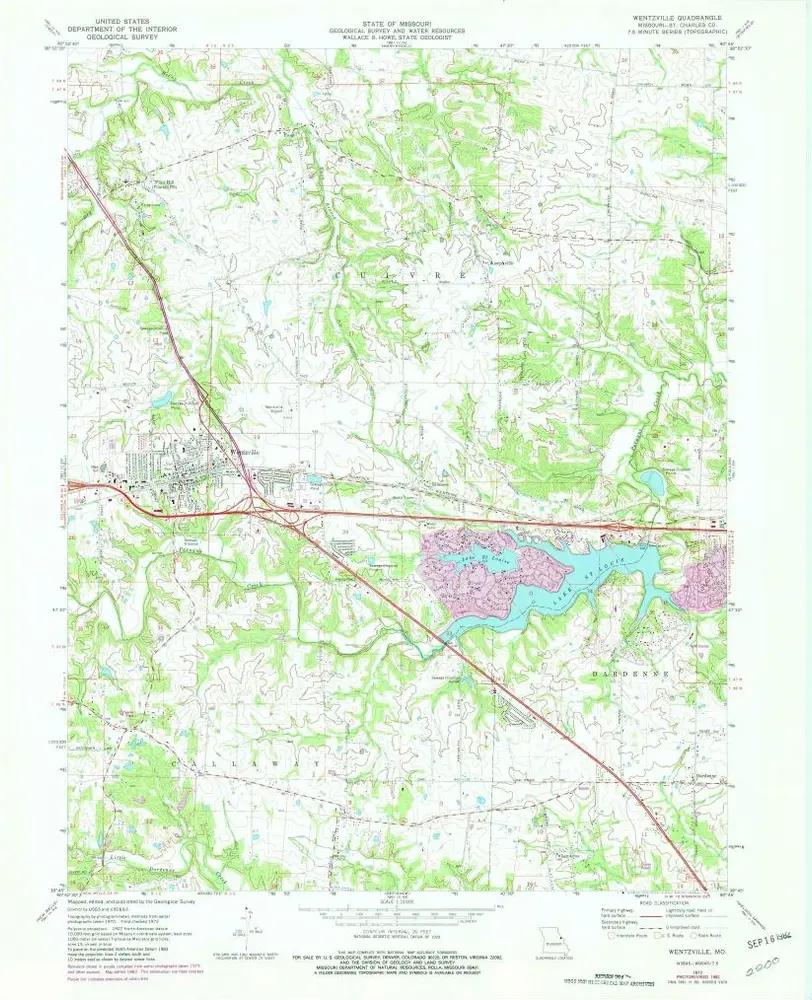
Wentzville
1972
1:24k
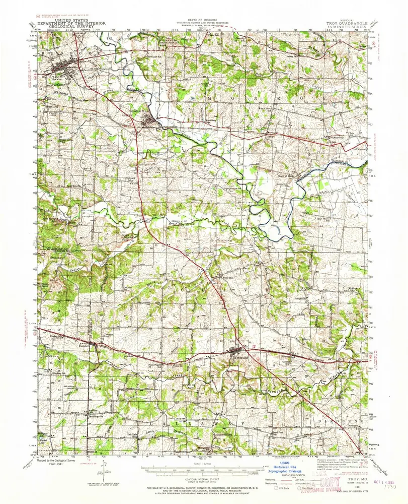
Troy
1945
1:63k
Troy
1945
1:63k
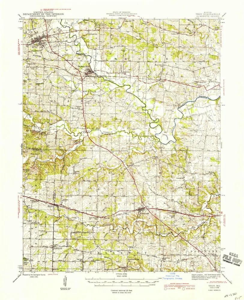
Troy
1941
1:63k
Troy
1941
1:63k
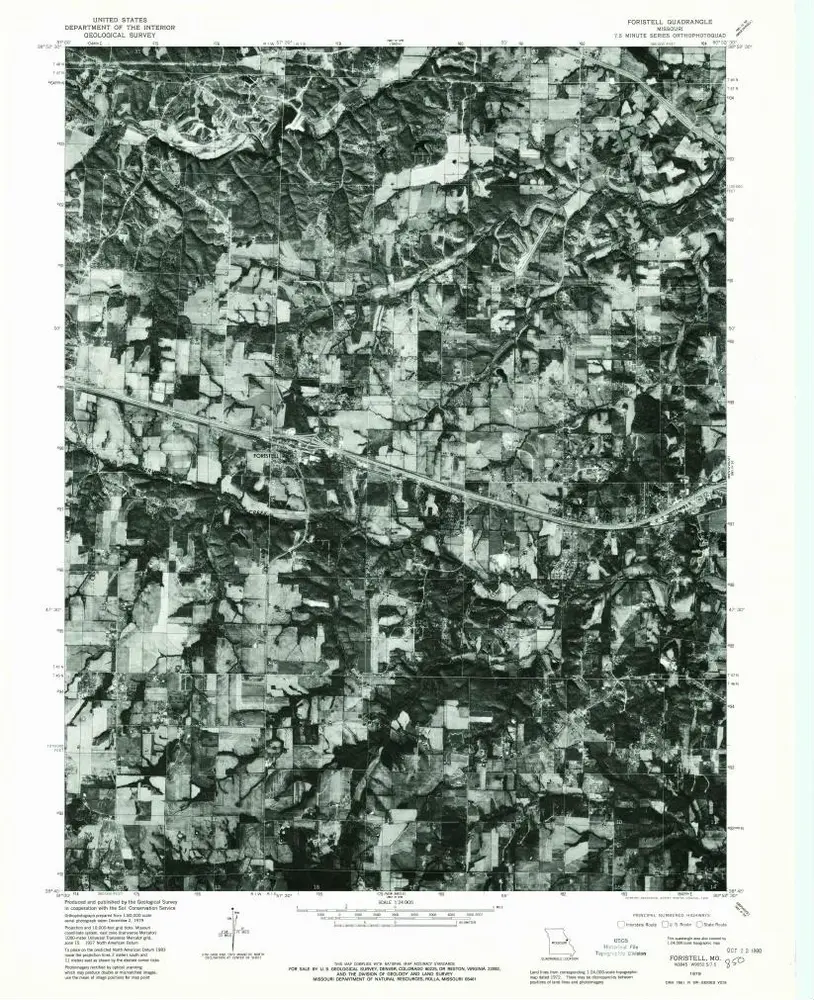
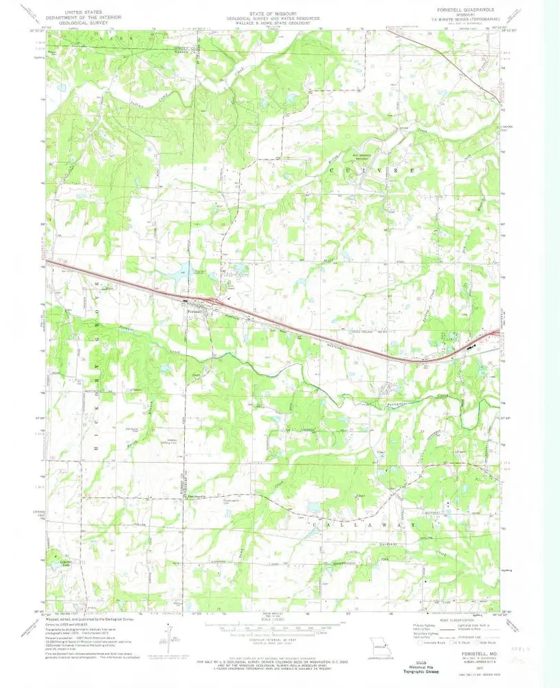
Foristell
1979
1:24k
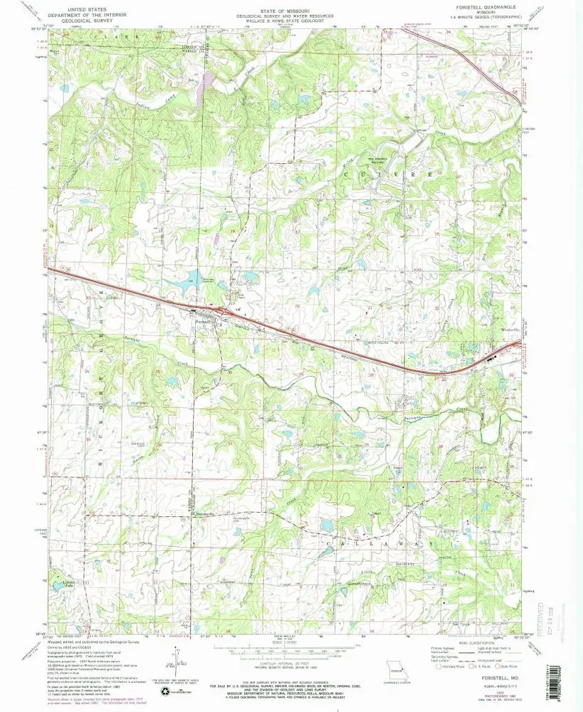
Foristell
1972
1:24k
Foristell
1972
1:24k
Historia