Project
Community
News
My App
My maps
Carte cataloguée
Foristell
View on external website
Institution:
United States Geological Survey
Titre complet:
Foristell
Année de l'image:
1972
Date de publication:
1982
Échelle de la carte:
1:24 000
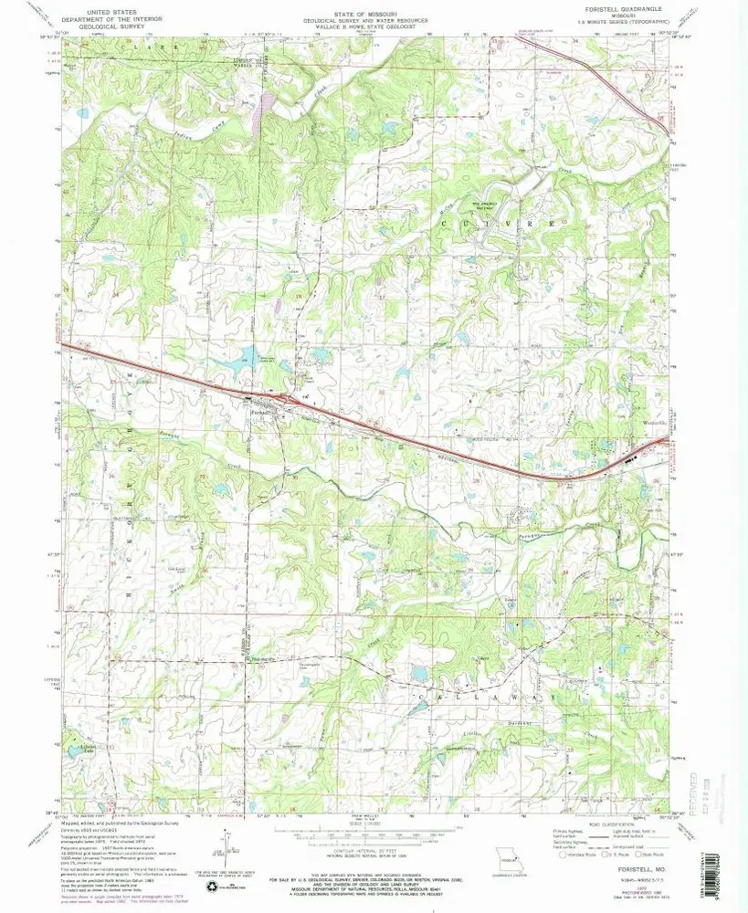
Foristell
1979
1:24k
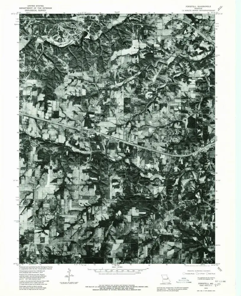
Foristell
1972
1:24k
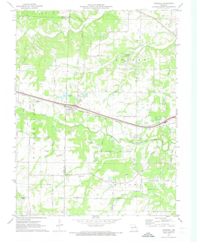
Foristell
1972
1:24k
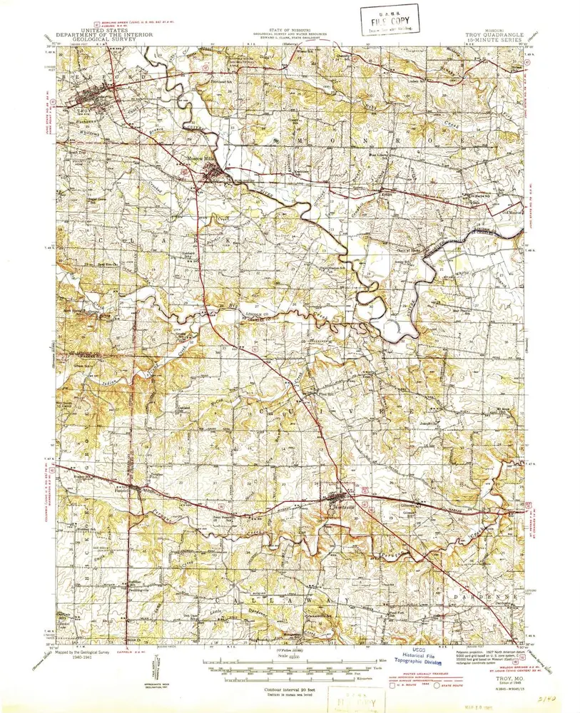
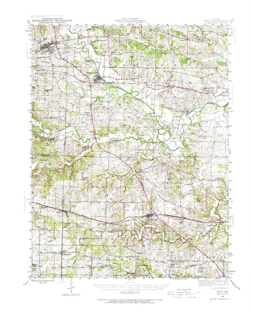
Troy
1945
1:63k
Troy
1945
1:63k
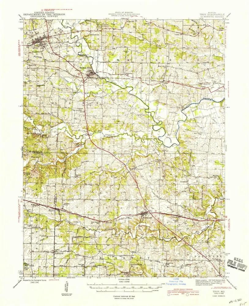
Troy
1941
1:63k
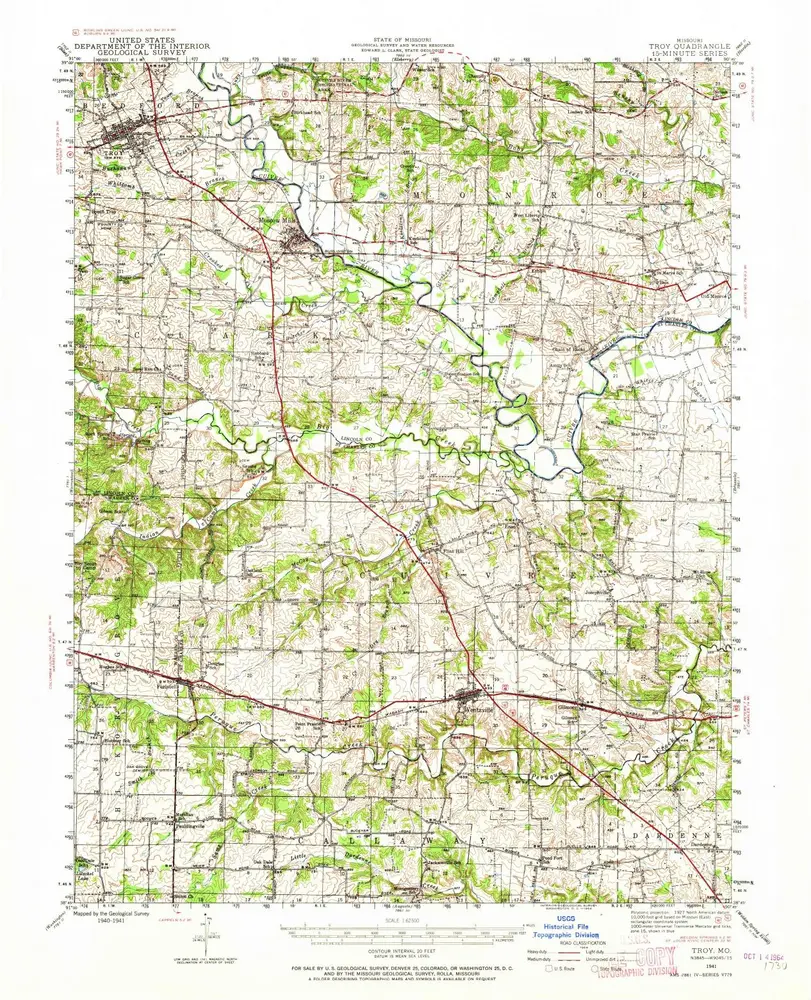
Troy
1941
1:63k
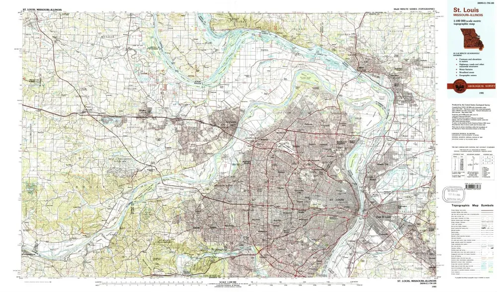
St Louis
1985
1:100k
St Louis
1985
1:100k
St Louis
1985
1:100k
L'histoire