Project
Community
News
My App
My maps
Cataloged map
Roper
View on external website
View digitized
Institution:
United States Geological Survey
Full title:
Roper
Depicted:
1971
Pubdate:
1974
Map scale:
1:24 000
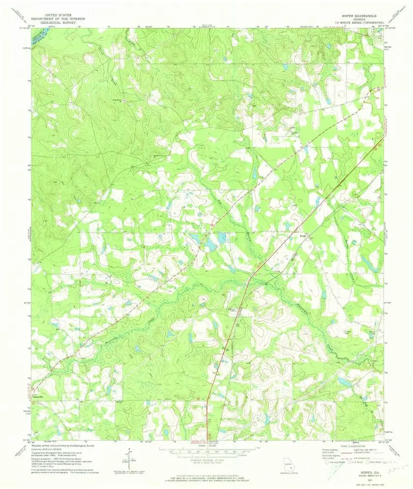
Roper
1971
1:24k
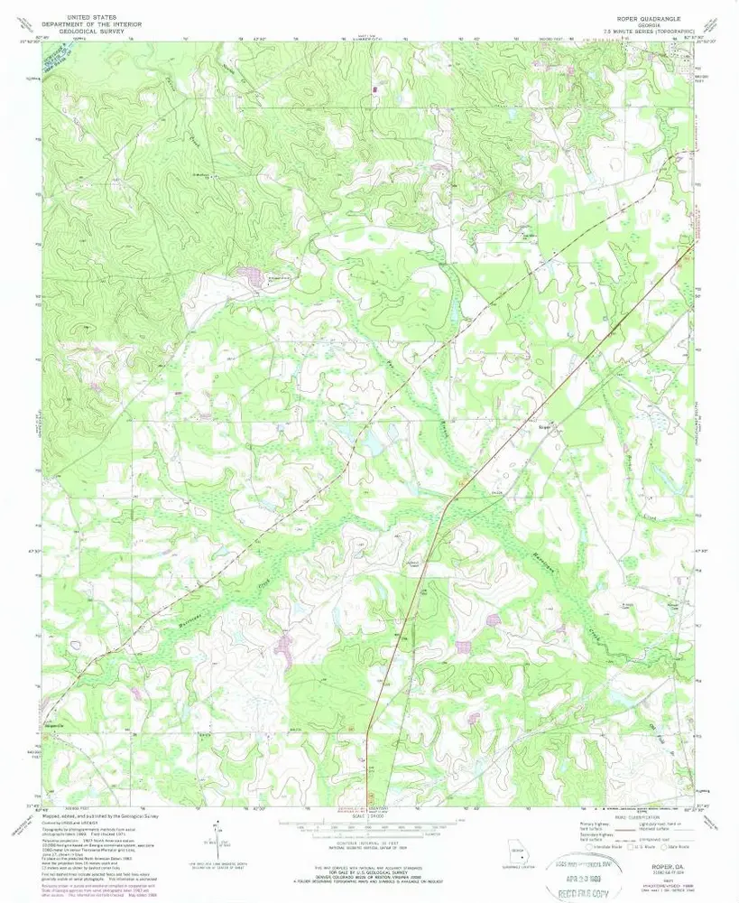
Roper
1971
1:24k
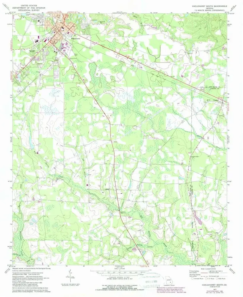
Hazlehurst South
1971
1:24k
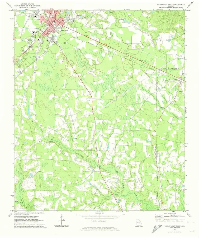
Hazlehurst South
1971
1:24k
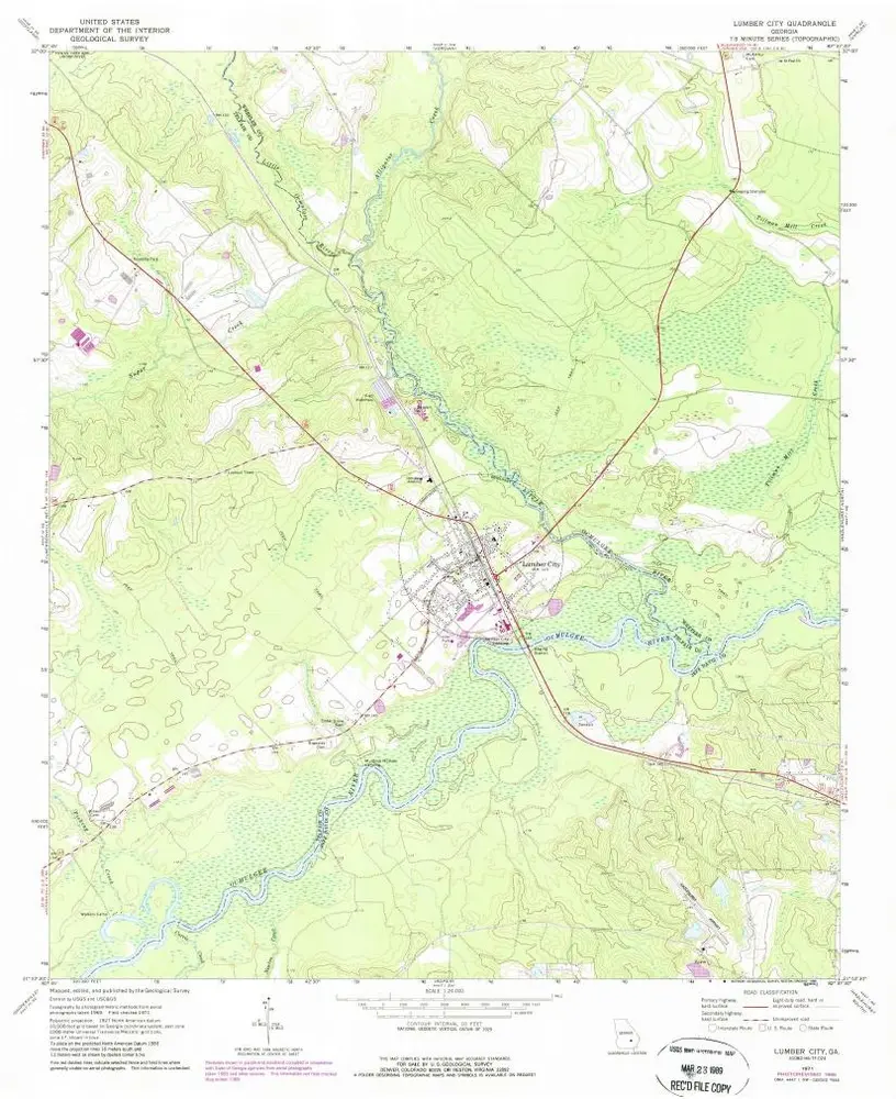
Lumber City
1971
1:24k
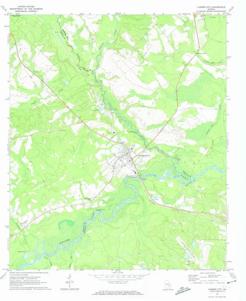
Lumber City
1971
1:24k
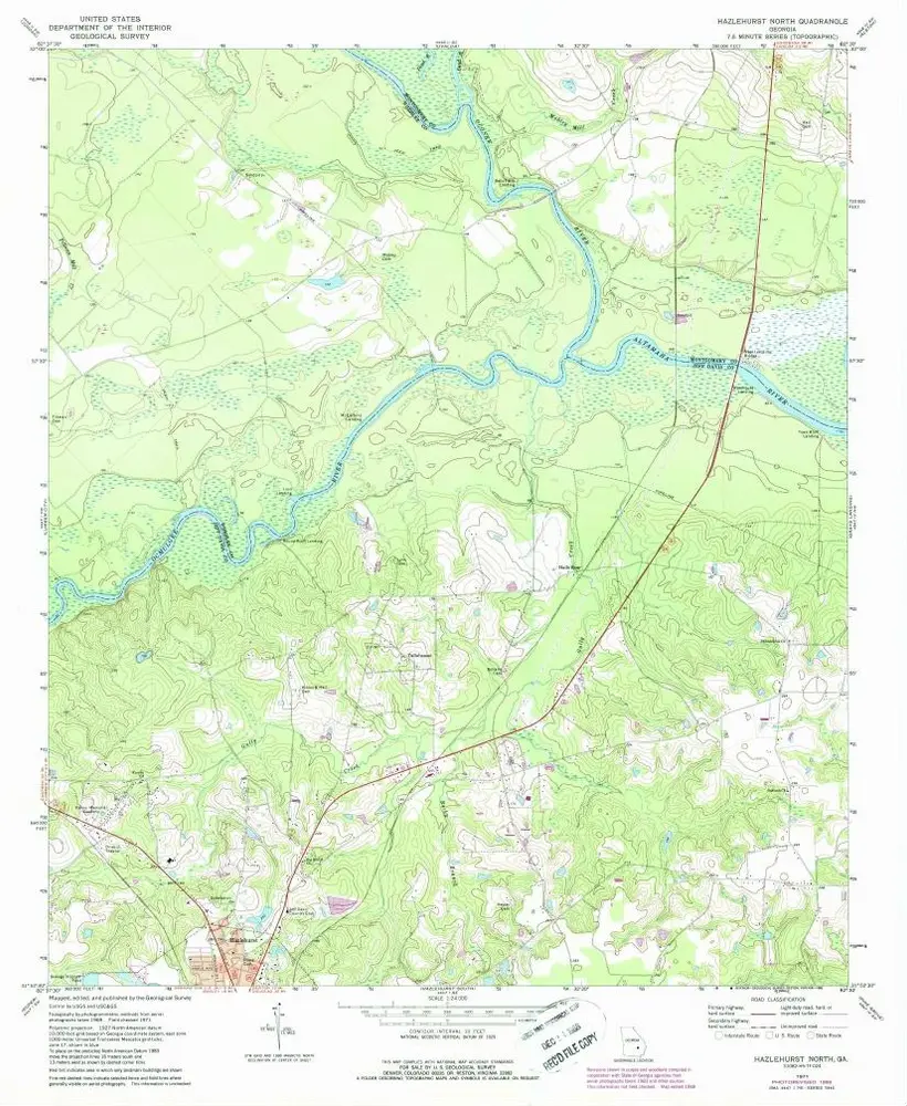
Hazlehurst North
1971
1:24k
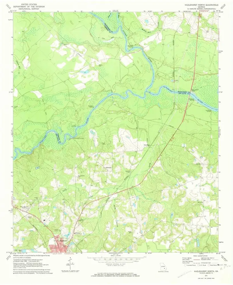
Hazlehurst North
1971
1:24k
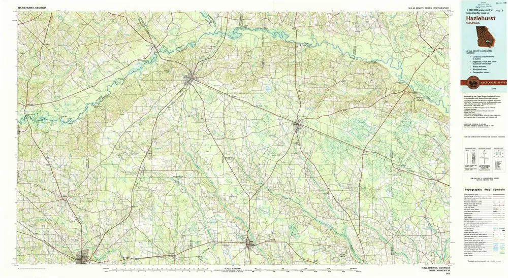
Hazlehurst
1979
1:100k
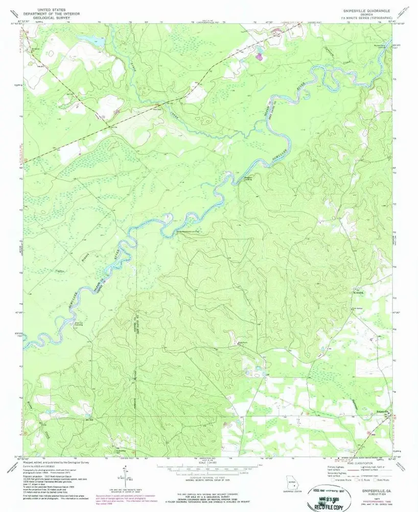
Snipesville
1971
1:24k
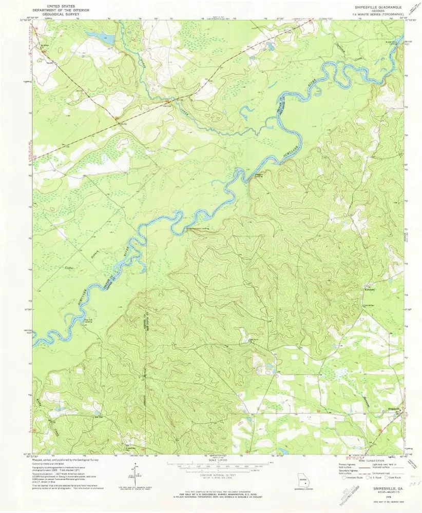
Snipesville
1971
1:24k
History