Katalogisierte Karte
Hazlehurst South

Einrichtung:United States Geological Survey
Vollständiger Titel:Hazlehurst South
Jahr der Abbildung:1971
Veröffentlichungsdatum:1988
Maßstab der Karte:1:24 000
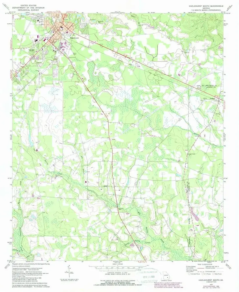
Hazlehurst South
1971
1:24k
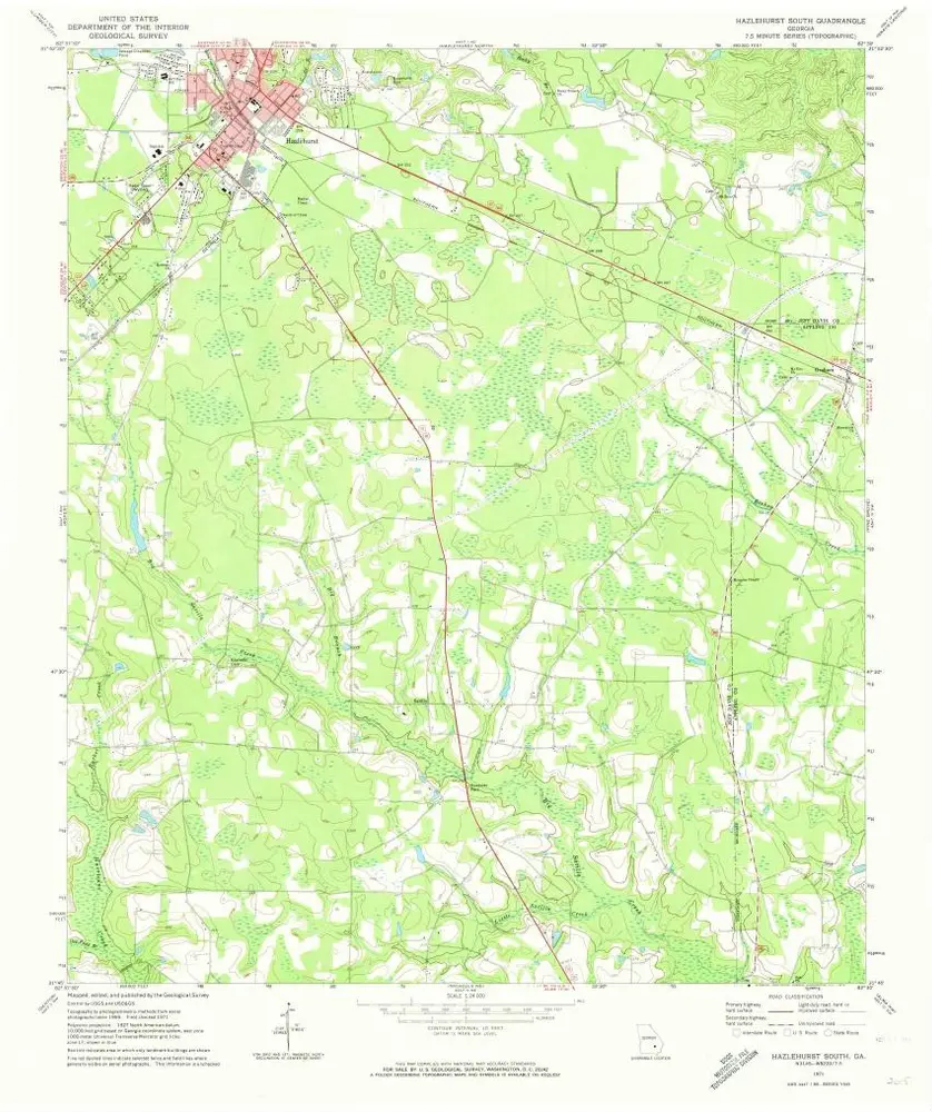
Hazlehurst South
1971
1:24k
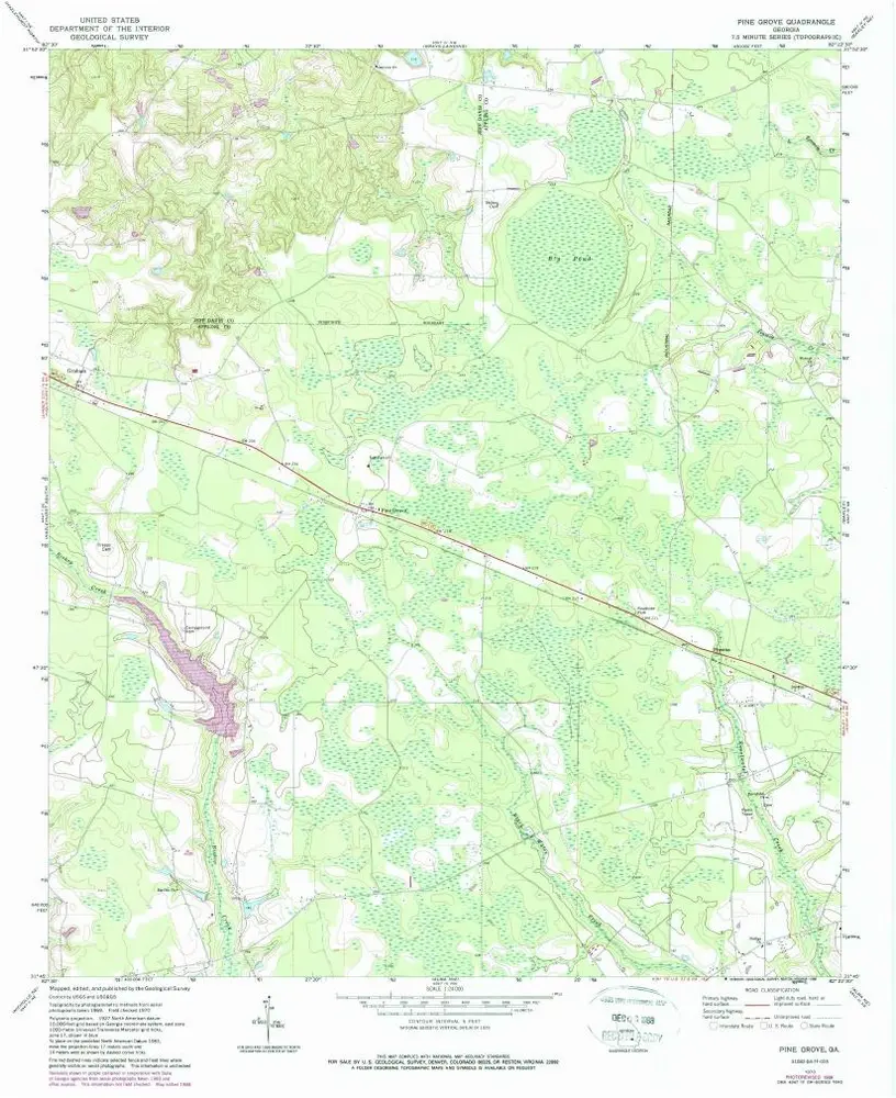
Pine Grove
1970
1:24k
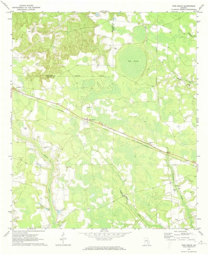
Pine Grove
1970
1:24k
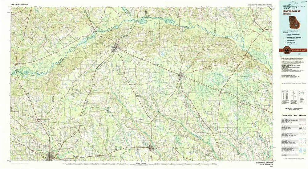
Hazlehurst
1979
1:100k
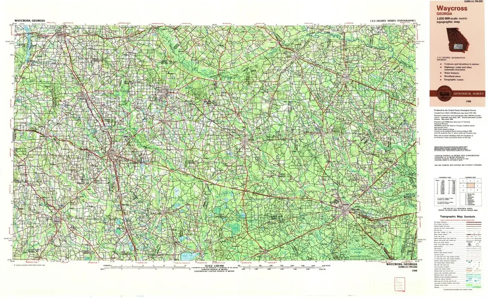
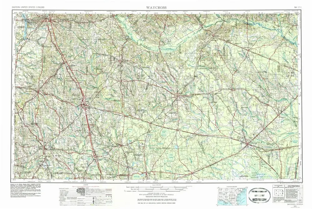
Waycross
1988
1:250k
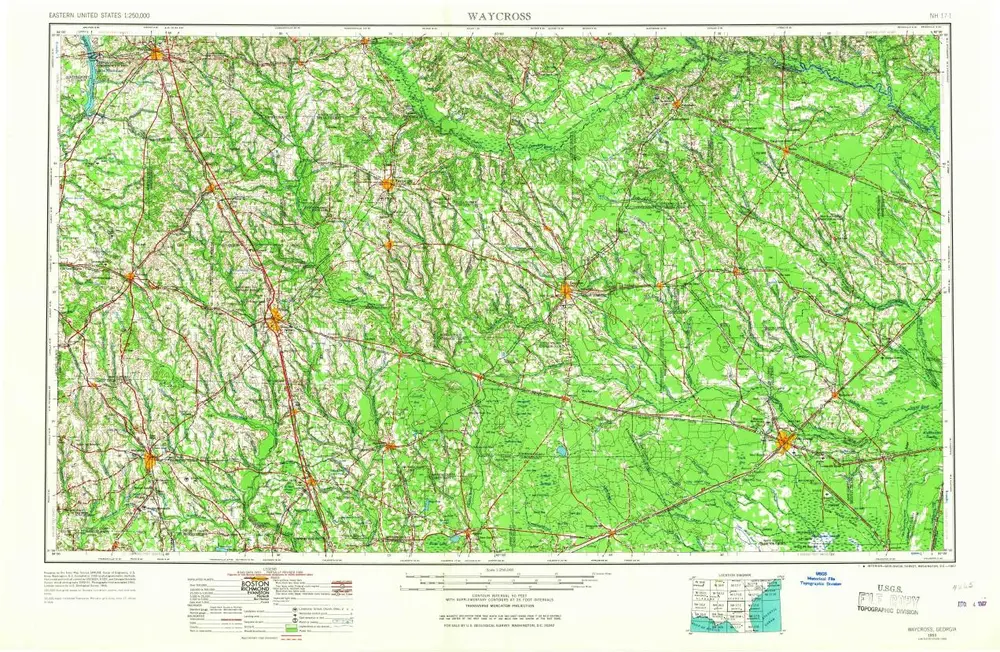
Waycross
1958
1:250k
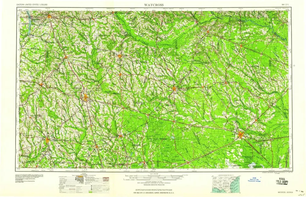
Waycross
1953
1:250k
Waycross
1953
1:250k
South-Carolina and parts adjacent : shewing the movements of the American and British armies
1785
Collins, Isaac, 1746-1817
1:1m