Mapa catalogado
Sheboygan Falls

Institución:United States Geological Survey
Título completo:Sheboygan Falls
Año de ilustración:1954
Fecha de publicación:1956
Escala del mapa:1:24 000
Map of Sheboygan Wisconsin Showing Voting Precincts & Polling Places
1956
Sheboygan (Wis.). City Engineer
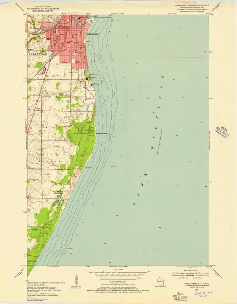
Sheboygan South
1954
1:24k
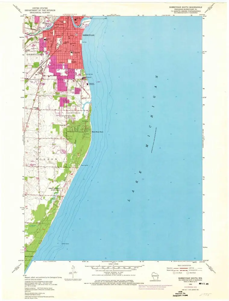
Sheboygan South
1954
1:24k
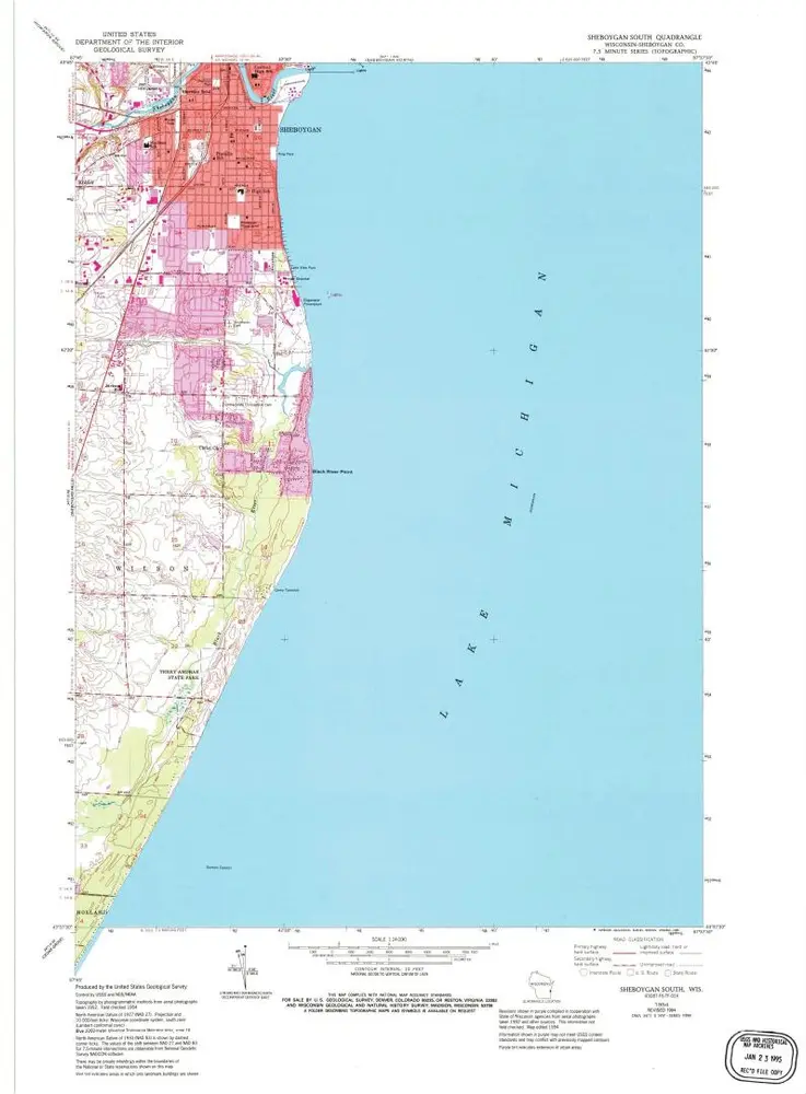
Sheboygan South
1954
1:24k
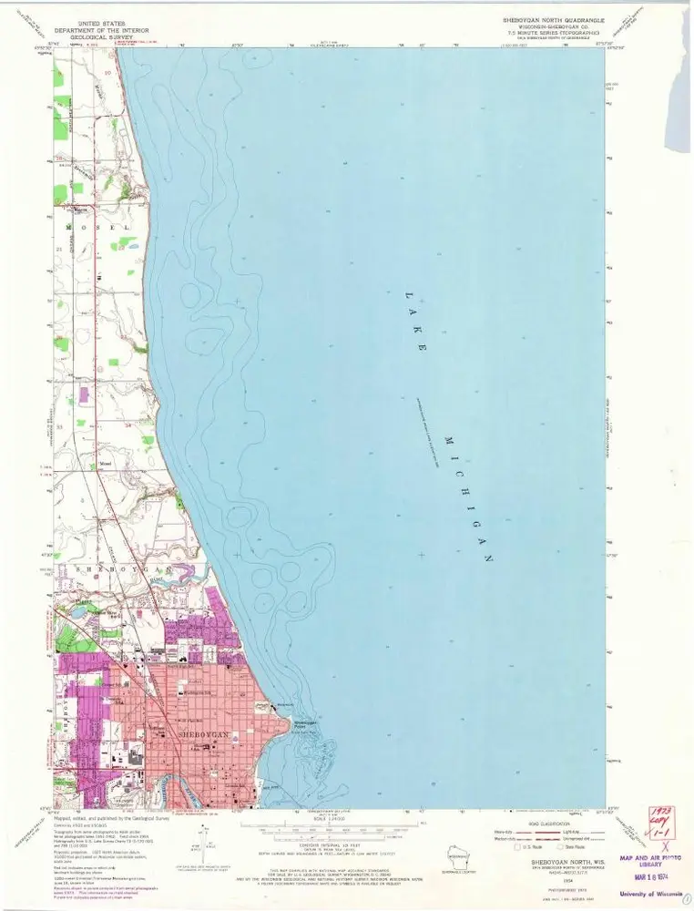
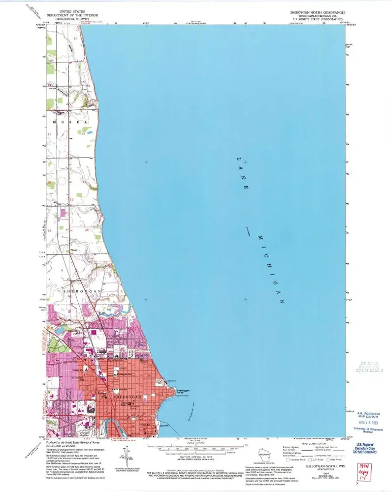
Sheboygan North
1954
1:24k
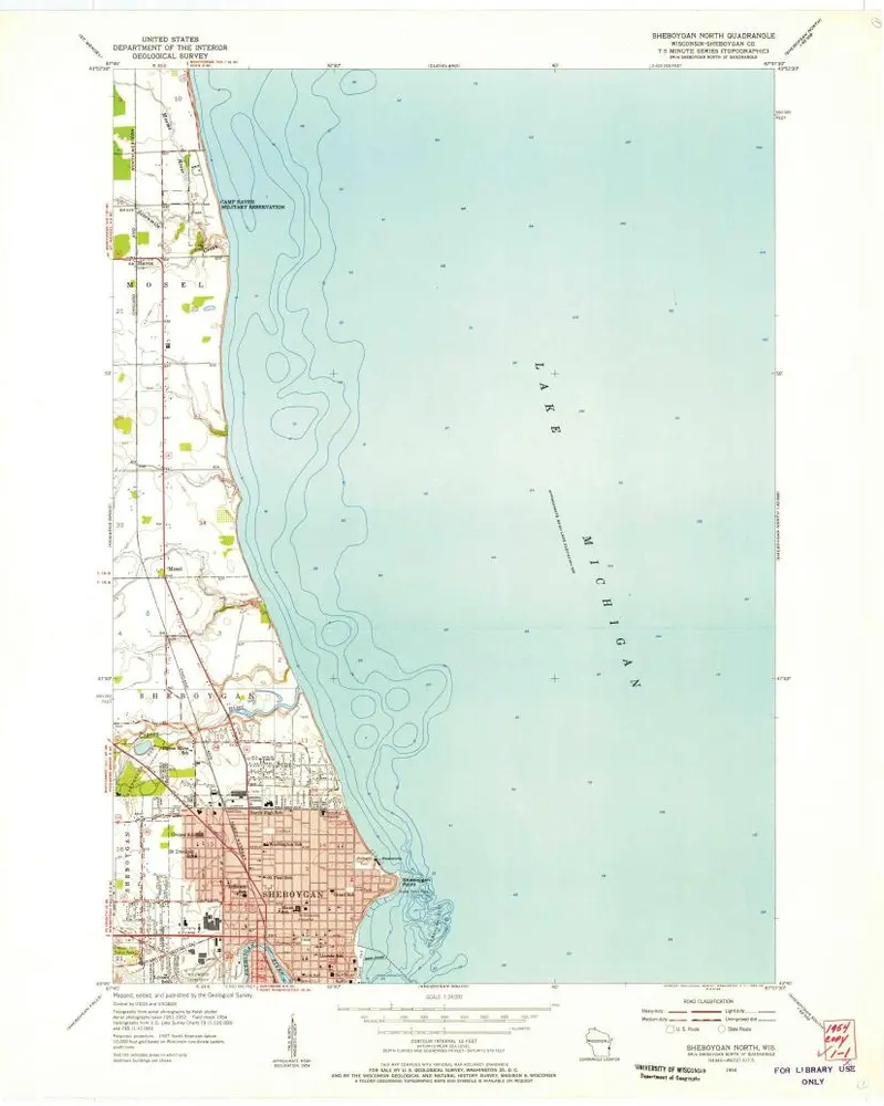
Sheboygan North
1954
1:24k
Sheboygan North
1954
1:24k
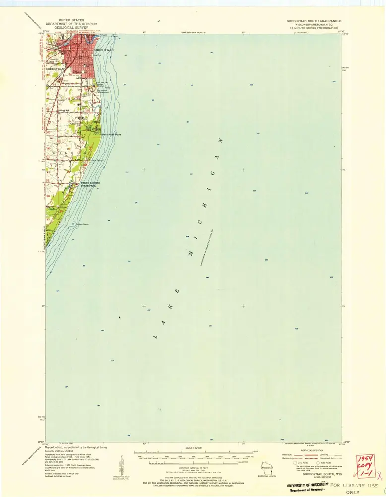
Sheboygan South
1954
1:63k
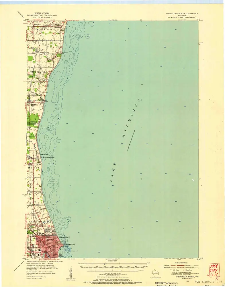
Sheboygan North
1954
1:63k
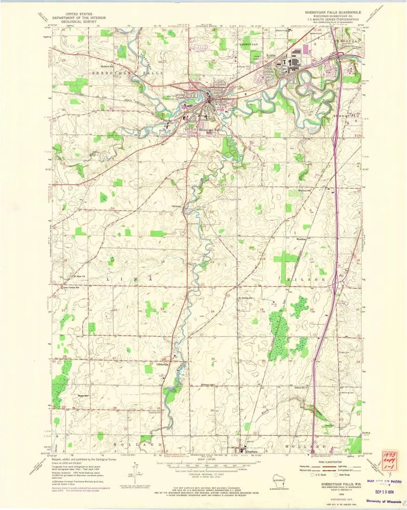
Sheboygan Falls
1954
1:24k
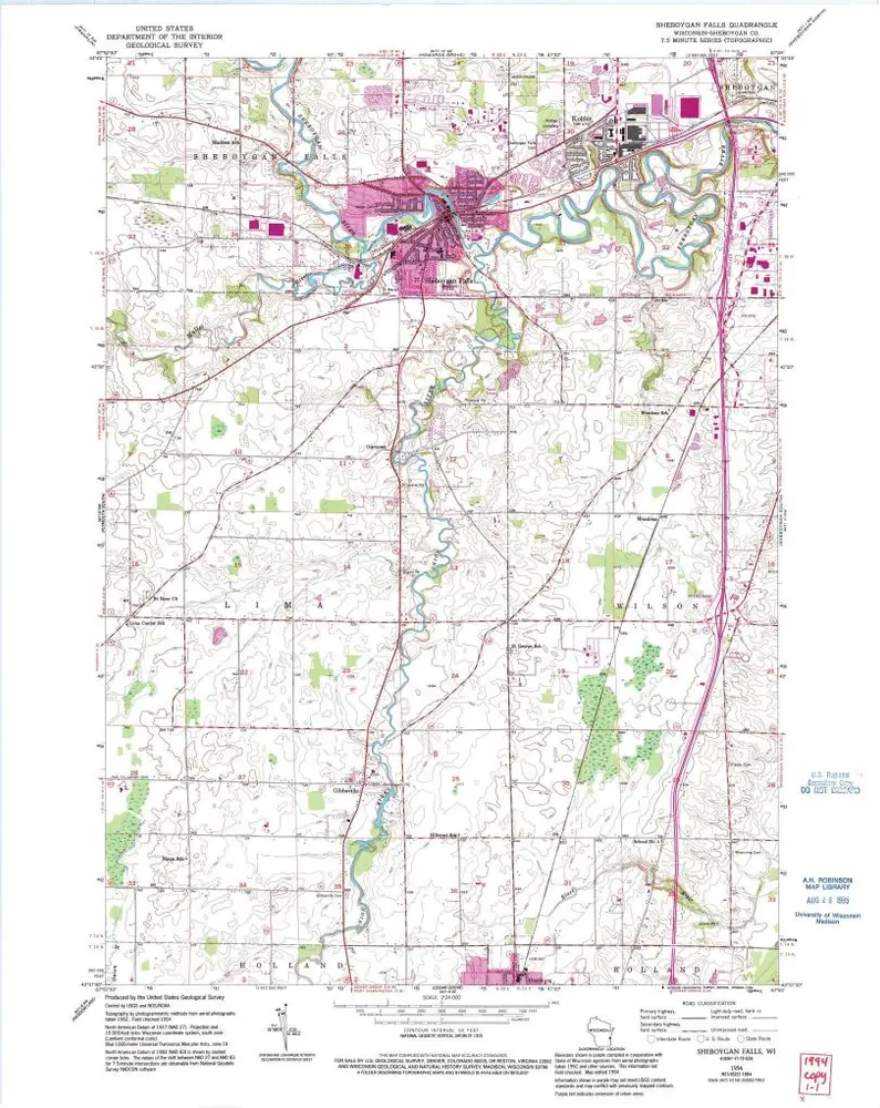
Sheboygan Falls
1954
1:24k
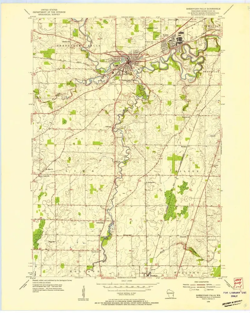
Sheboygan Falls
1954
1:24k