Carte cataloguée
Map of Sheboygan Wisconsin Showing Voting Precincts & Polling Places


Institution:Wisconsin Historical Society
Titre complet:Map of Sheboygan Wisconsin Showing Voting Precincts & Polling Places
Année de l'image:1956
Éditeur:Ray F. Ottensmann, City Eng
Map of Sheboygan Wisconsin Showing Voting Precincts & Polling Places
1956
Sheboygan (Wis.). City Engineer
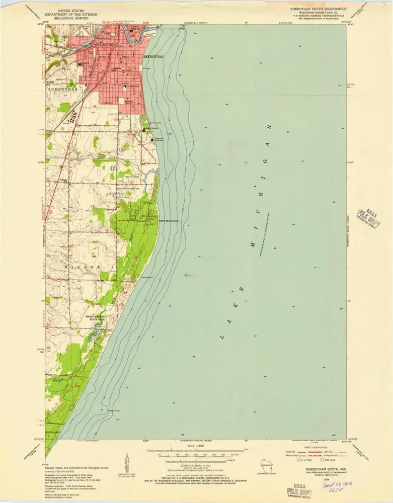
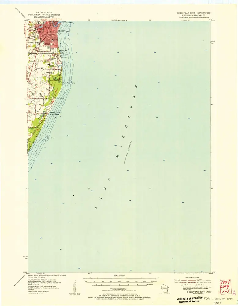
Sheboygan South
1954
1:24k
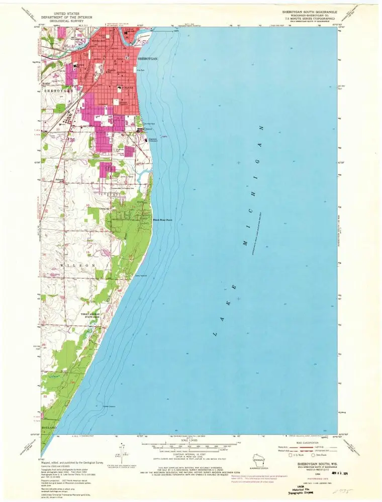
Sheboygan South
1954
1:24k
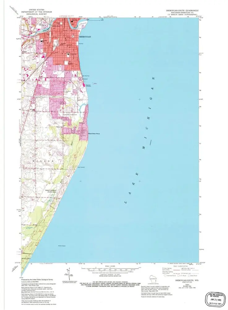
Sheboygan South
1954
1:24k
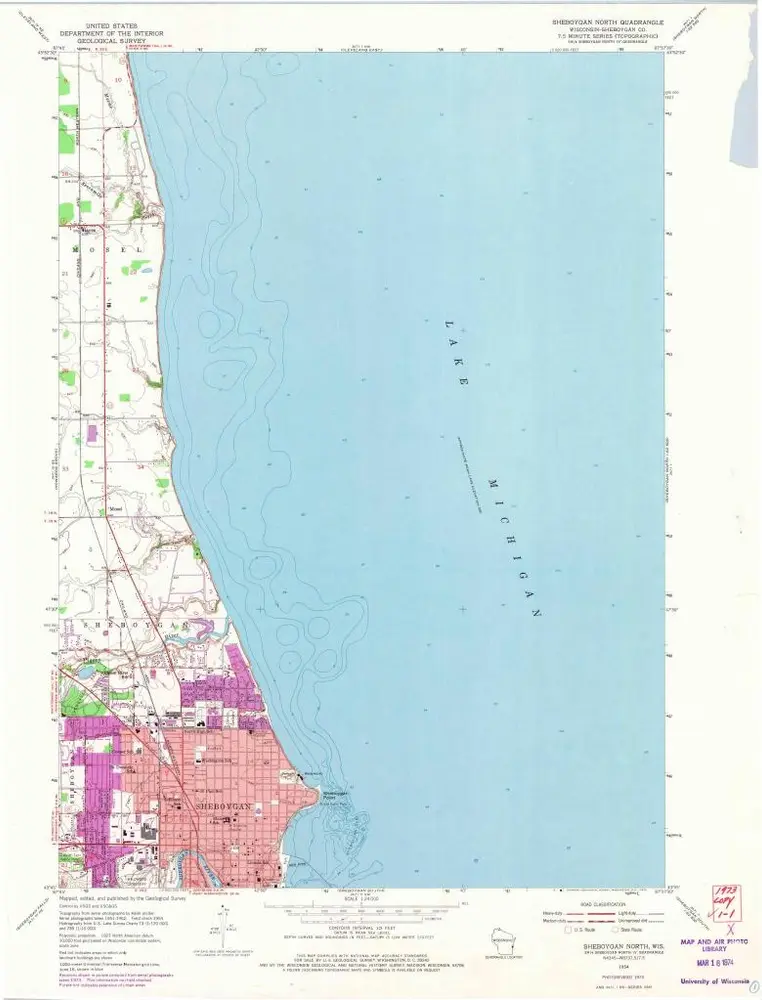
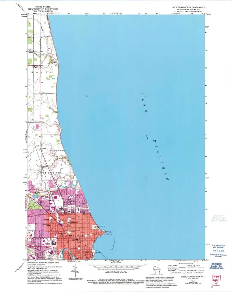
Sheboygan North
1954
1:24k
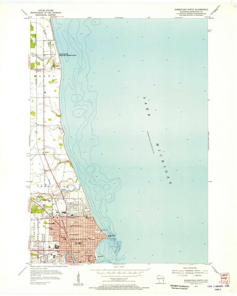
Sheboygan North
1954
1:24k
Sheboygan North
1954
1:24k
Sheboygan South
1954
1:63k
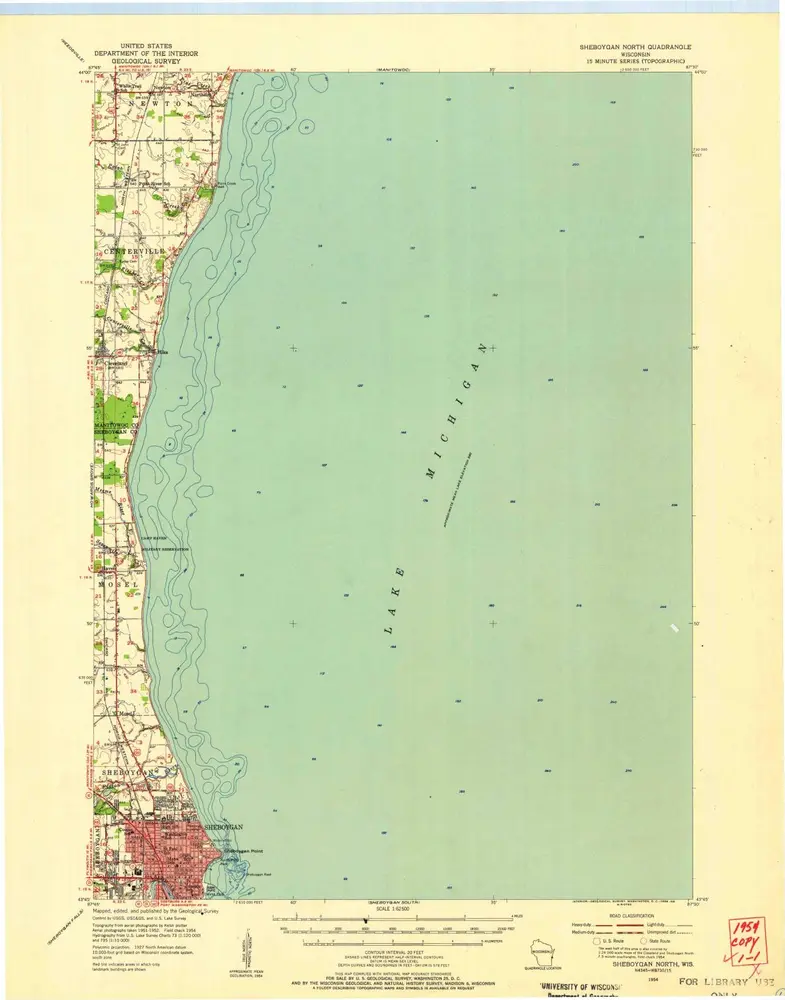
Sheboygan North
1954
1:63k
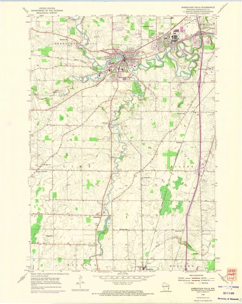
Sheboygan Falls
1954
1:24k
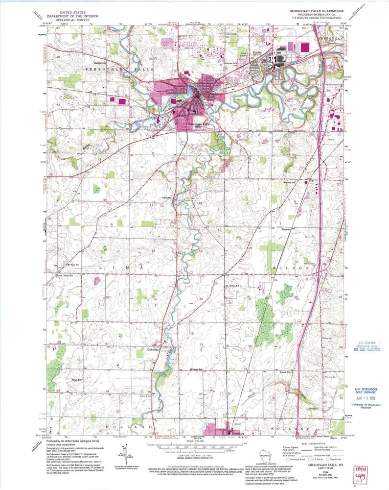
Sheboygan Falls
1954
1:24k
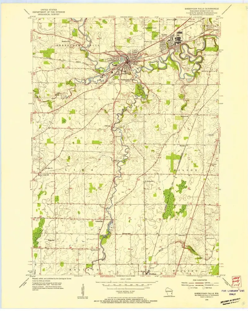
Sheboygan Falls
1954
1:24k