Projekt
Komunita
Novinky
Moje aplikace
Moje mapy
Katalogisierte Karte
Cedar Hill
Zobrazit na externích webových stránkách
Zobrazit digitalizované
Einrichtung:
United States Geological Survey
Vollständiger Titel:
Cedar Hill
Jahr der Abbildung:
1959
Veröffentlichungsdatum:
1960
Maßstab der Karte:
1:24 000
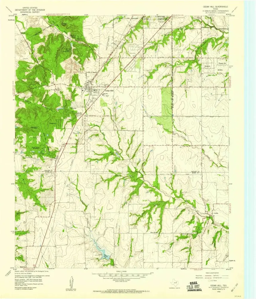
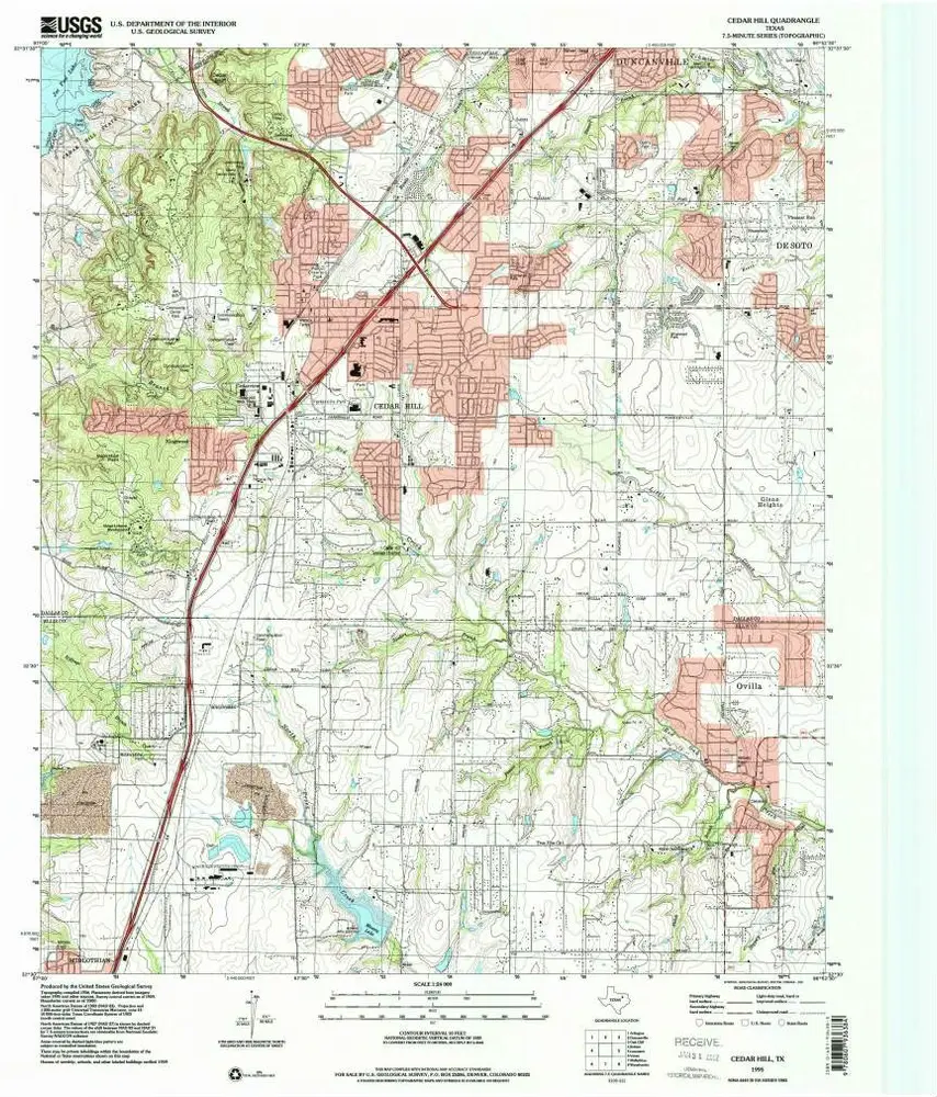
Cedar Hill
1995
1:24k
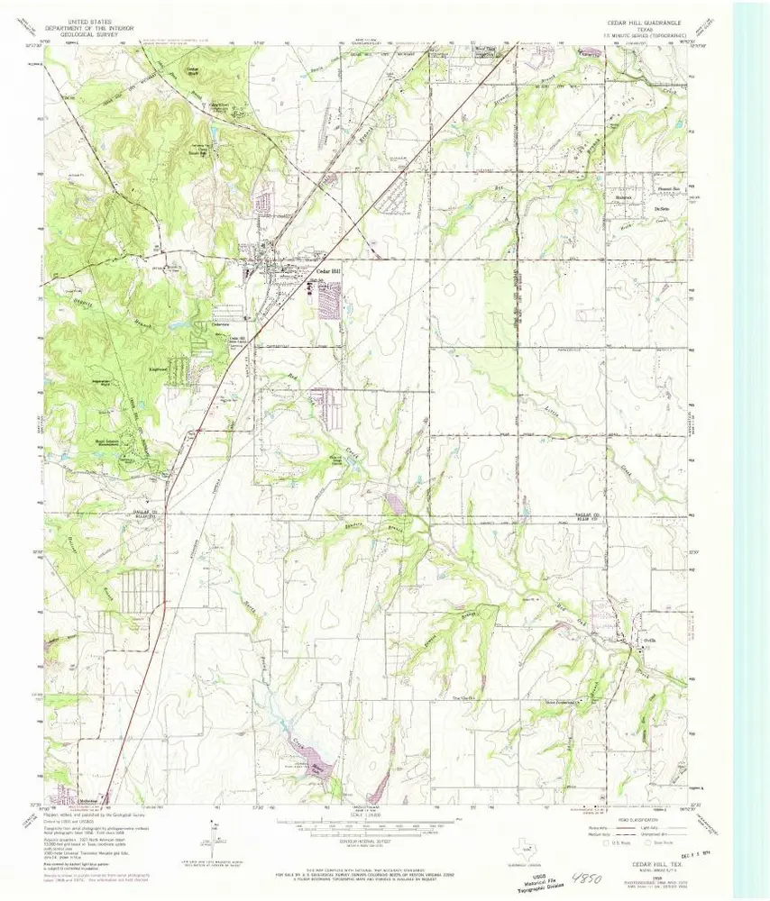
Cedar Hill
1959
1:24k
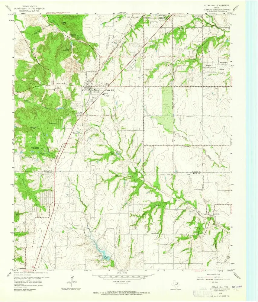
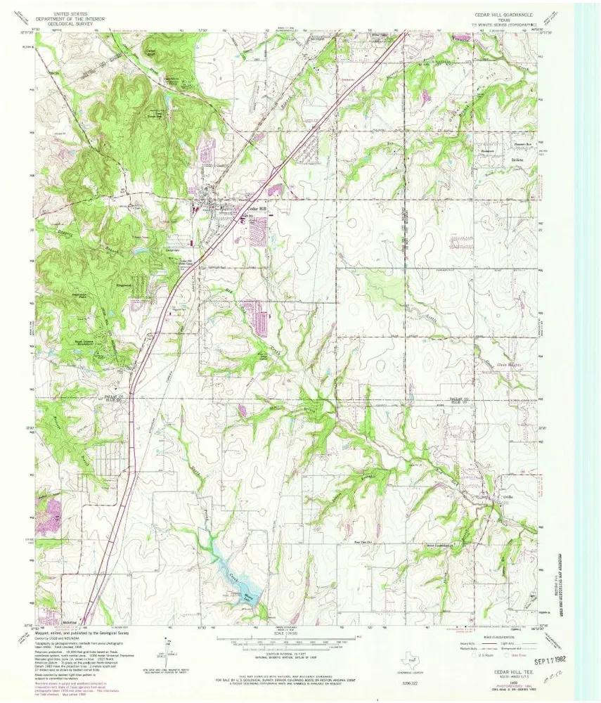
Cedar Hill
1959
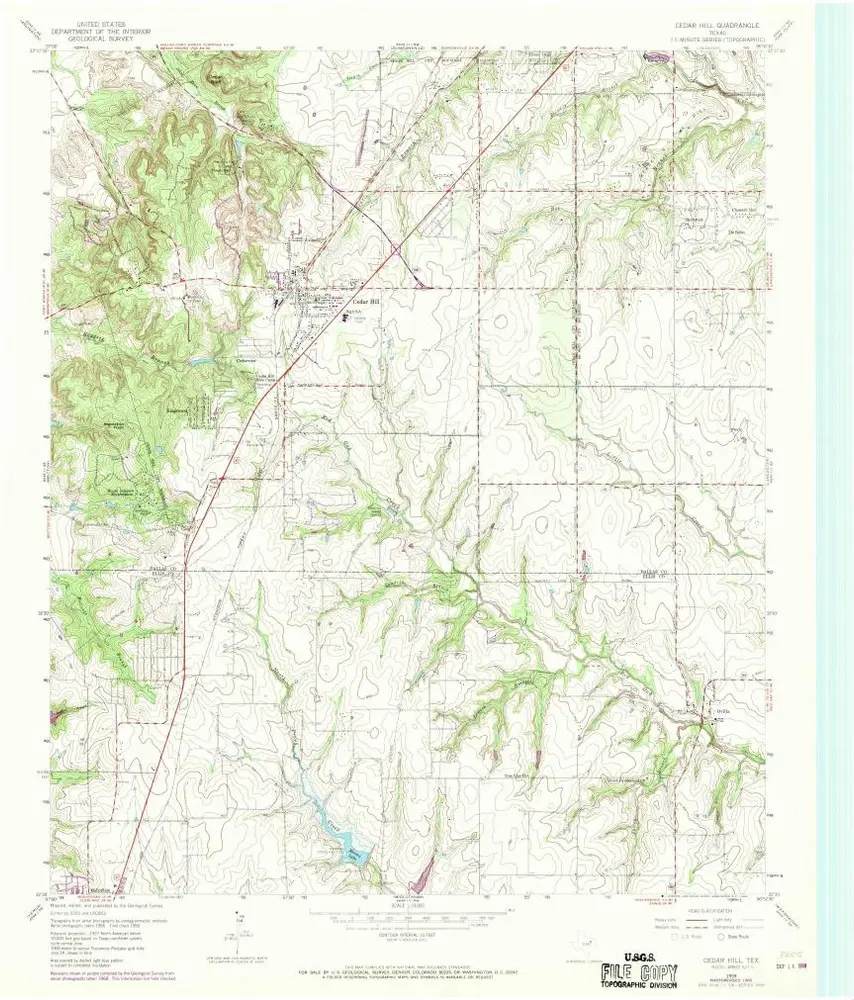
1:24k
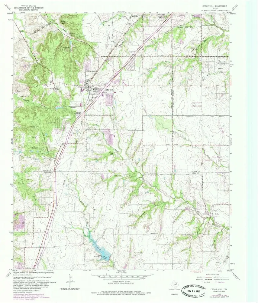
Cedar Hill
1959
1:24k
Cedar Hill
1959
1:24k
Cedar Hill
1959
1:24k
Cedar Hill
1959
1:24k
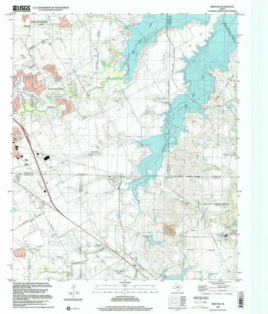
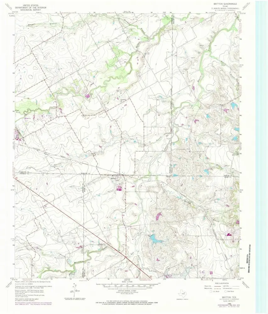
Britton
1995
1:24k
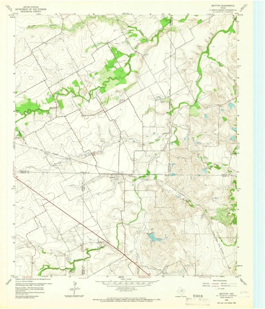
Britton
1959
1:24k
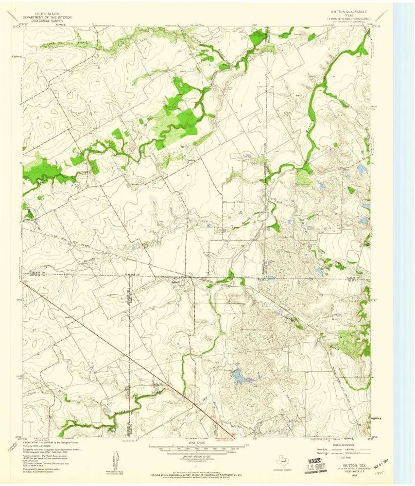
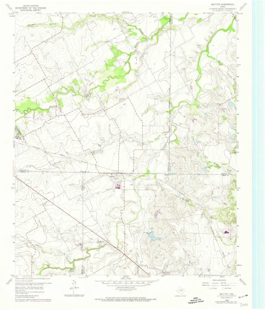
Britton
1959
1:24k
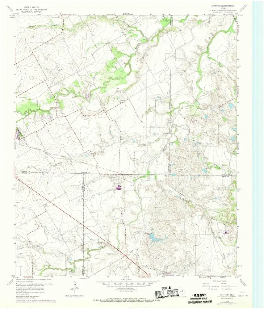
Britton
1959
1:24k
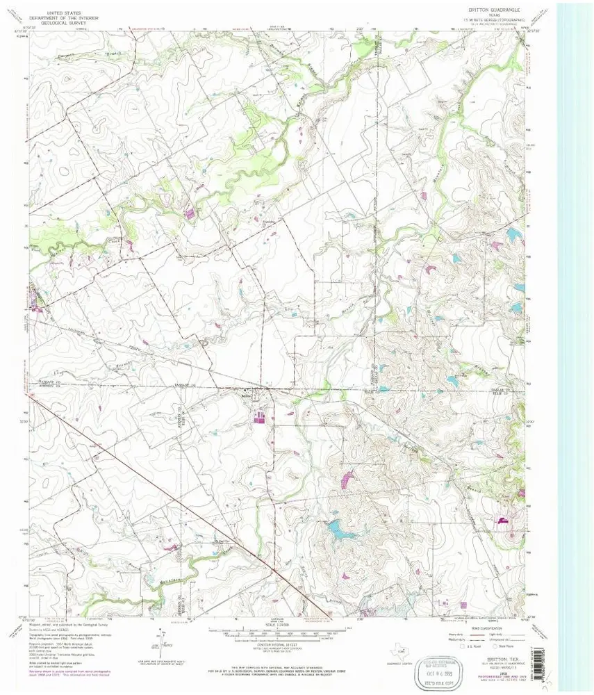
Britton
1959
1:24k
Britton
1959
1:24k
Britton
1959
1:24k
Geschichte