Projekt
Komunita
Novinky
Moje aplikace
Moje mapy
Carte cataloguée
Cedar Hill
Zobrazit na externích webových stránkách
View digitized
Institution:
United States Geological Survey
Titre complet:
Cedar Hill
Année de l'image:
1959
Date de publication:
1965
Échelle de la carte:
1:24 000
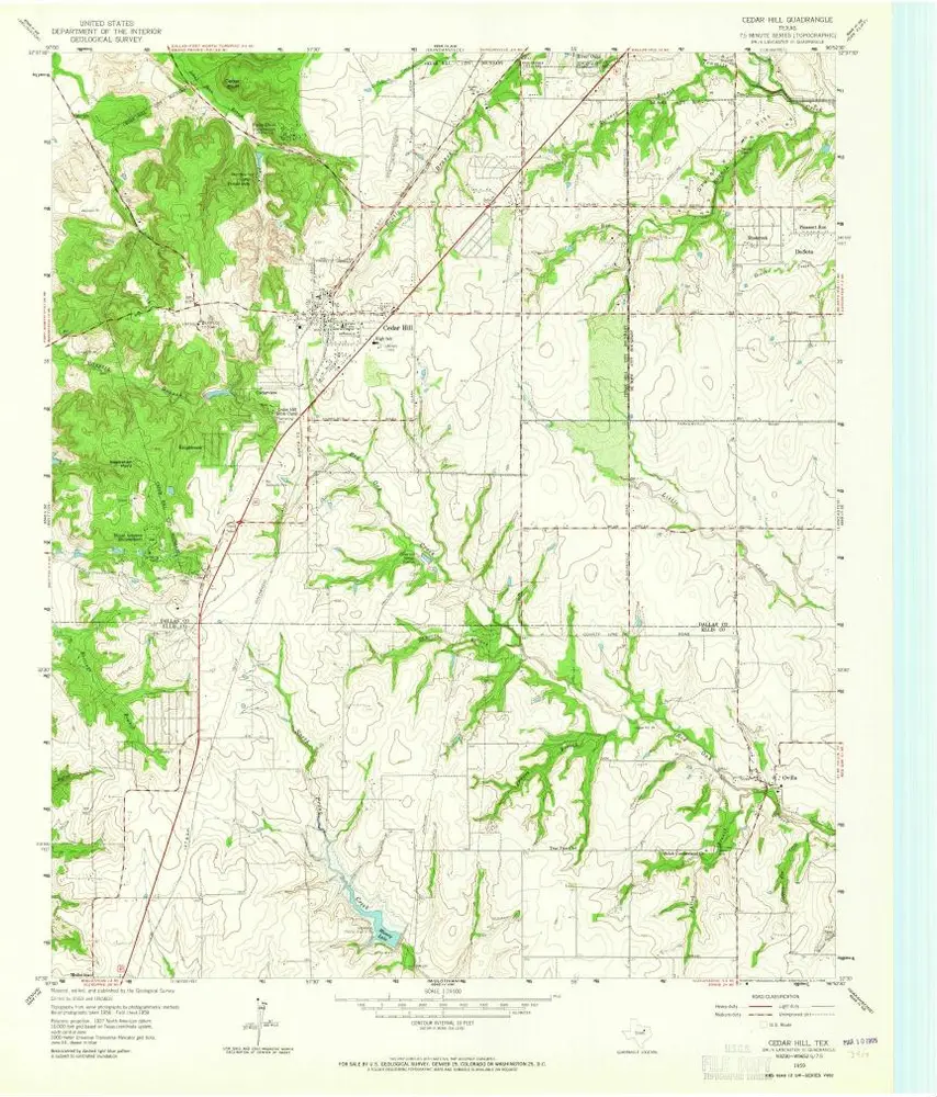
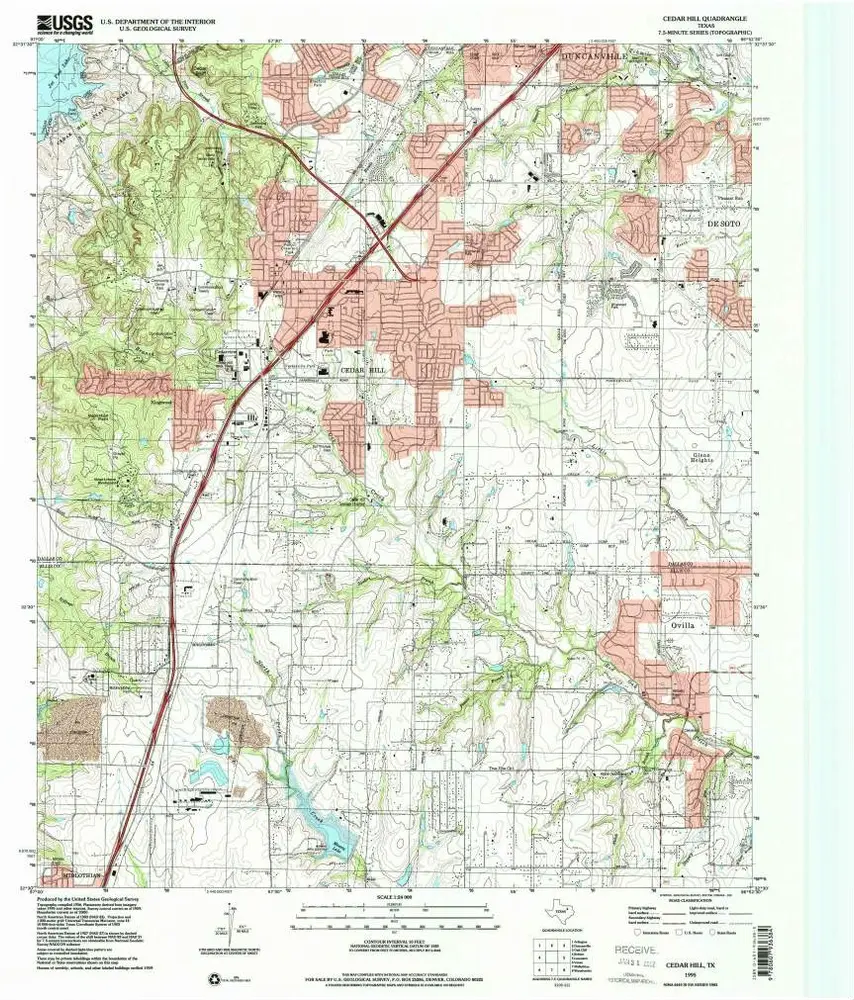
Cedar Hill
1995
1:24k
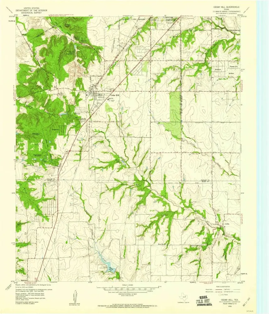
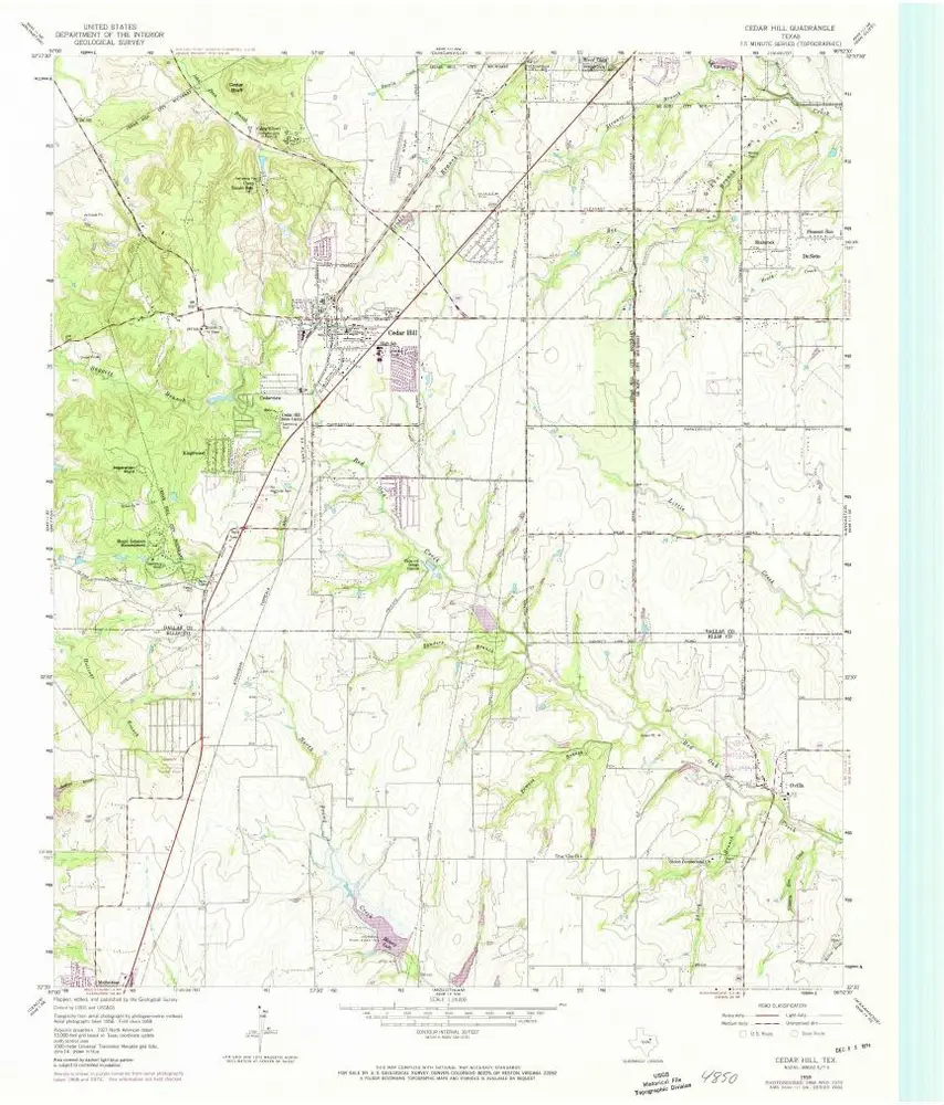
Cedar Hill
1959
1:24k
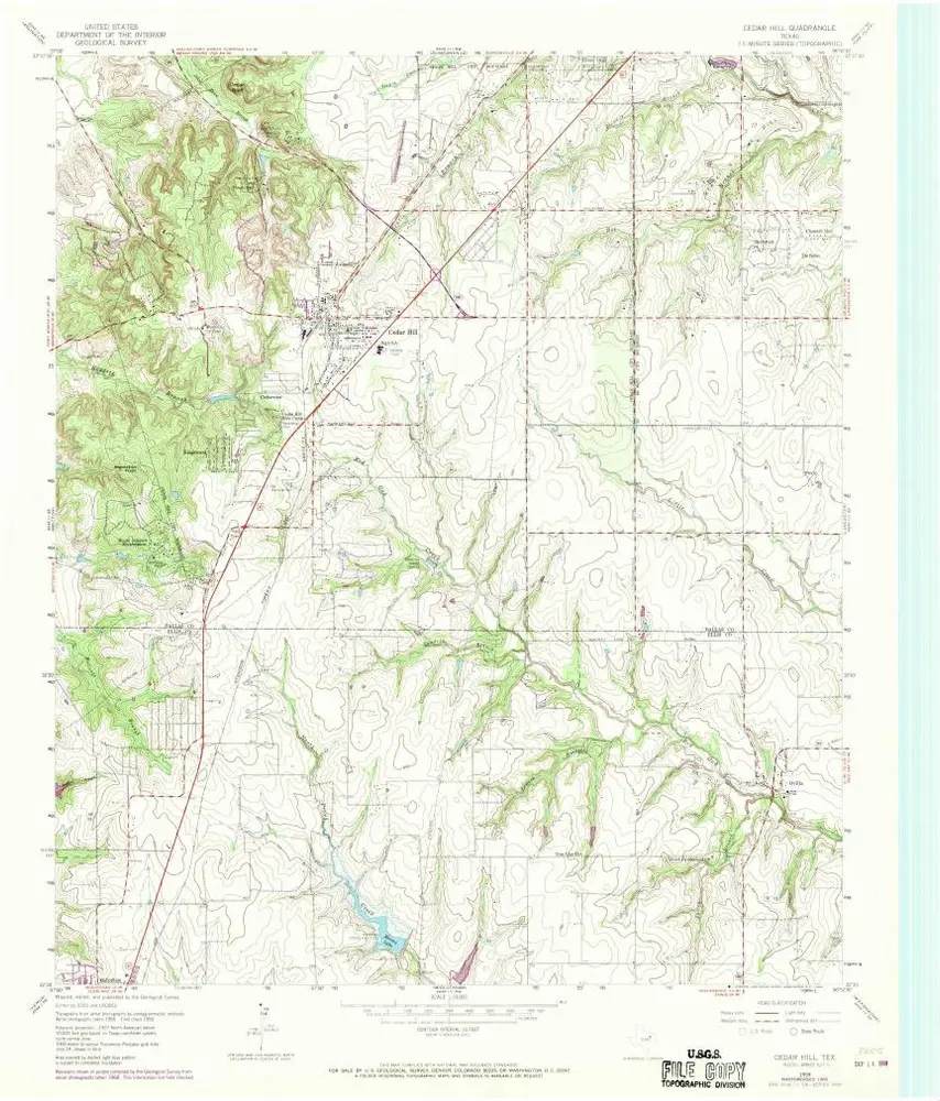
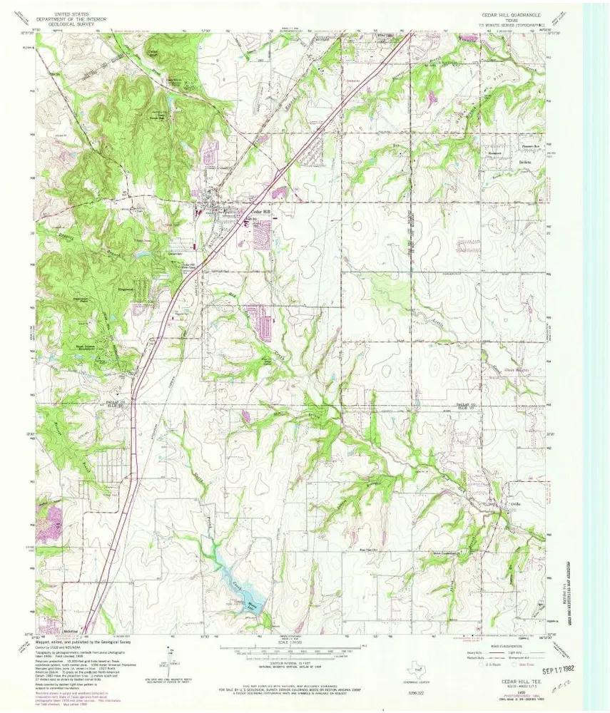
Cedar Hill
1959
1:24k
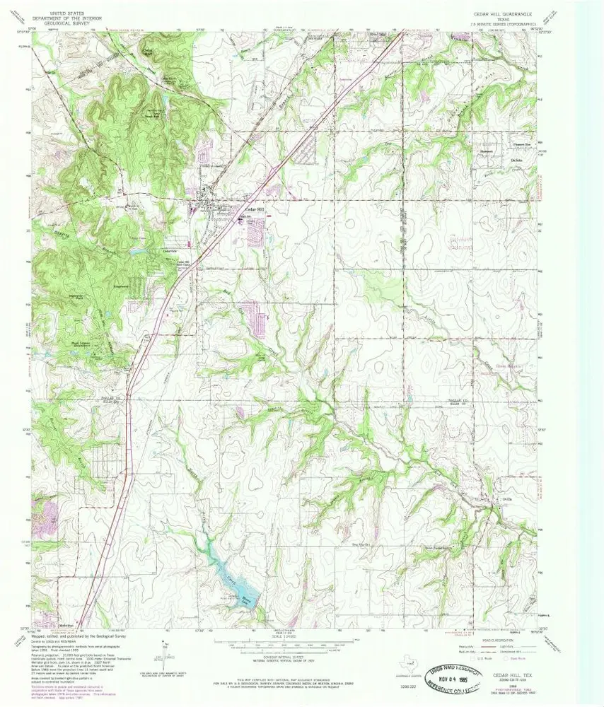
Cedar Hill
1959
1:24k
Cedar Hill
1959
1:24k
Cedar Hill
1959
1:24k
Cedar Hill
1959
1:24k
Britton
1995
1:24k
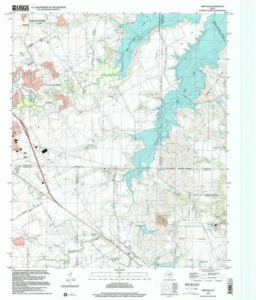
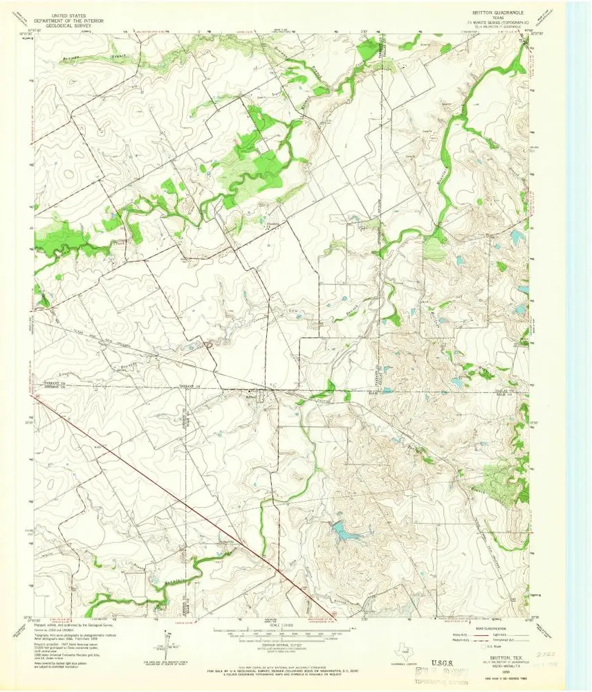
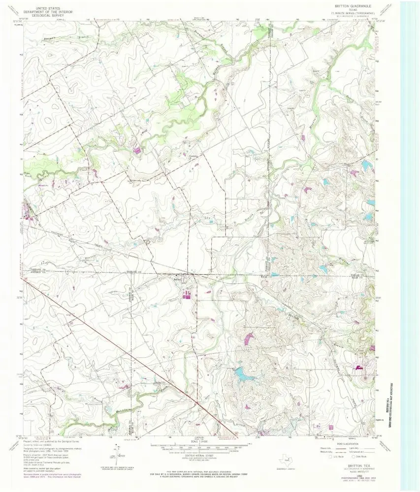
Britton
1959
1:24k
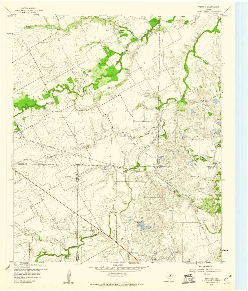
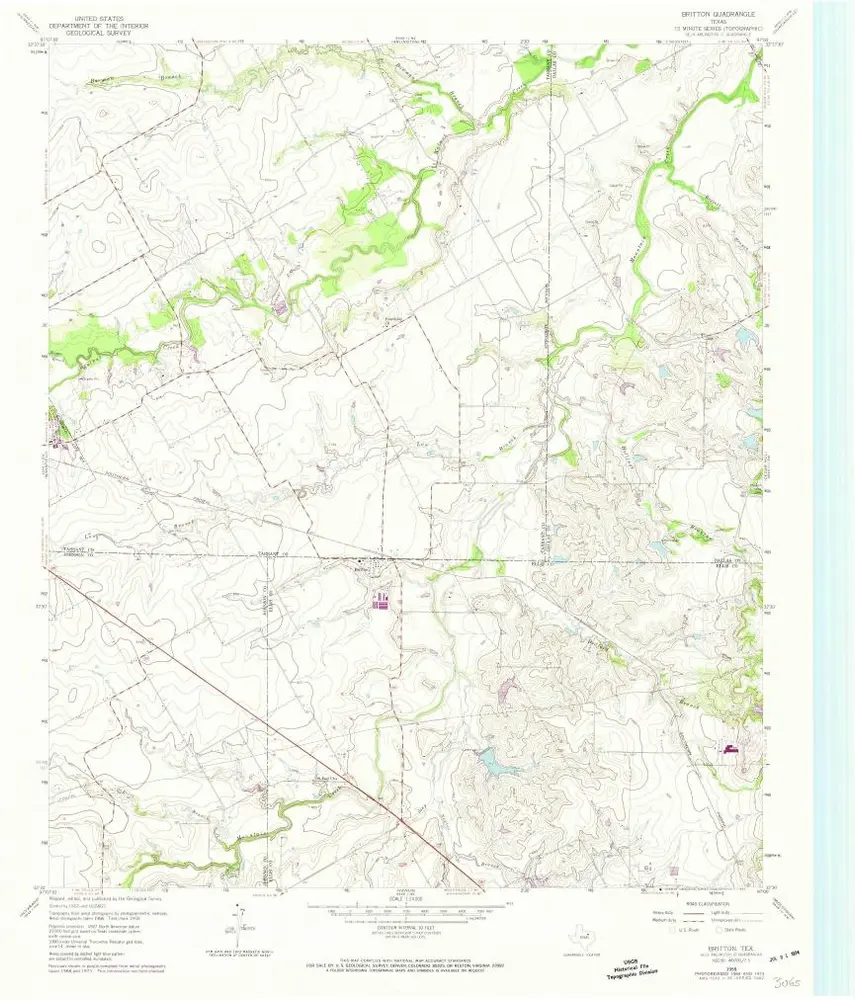
Britton
1959
1:24k
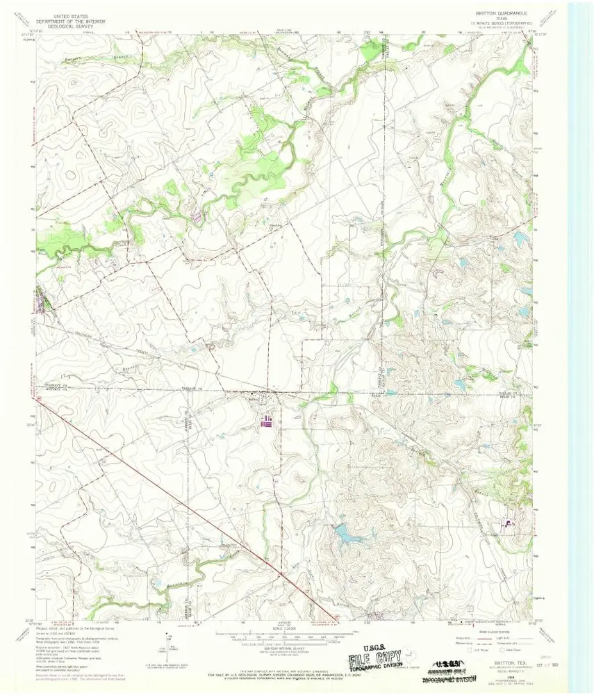
Britton
1959
1:24k
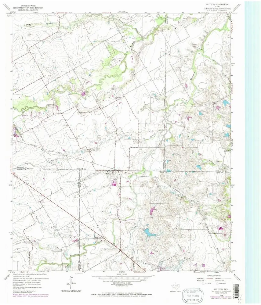
Britton
1959
1:24k
Britton
1959
1:24k
Britton
1959
1:24k
L'histoire