项目
社区
新闻
我的应用程序
我的地图
Cataloged map
Northfield
在外部网站上查看
查看數位化
Institution:
United States Geological Survey
Full title:
Northfield
Depicted:
1960
Pubdate:
1973
Map scale:
1:24 000
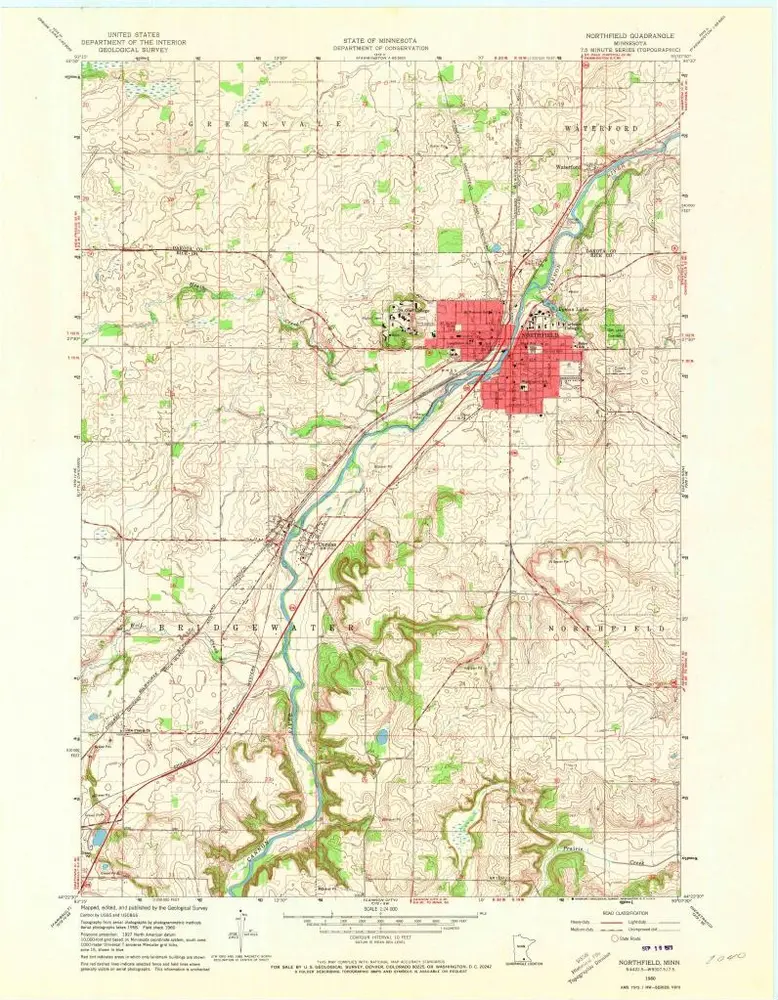
Northfield
1991
1:24k
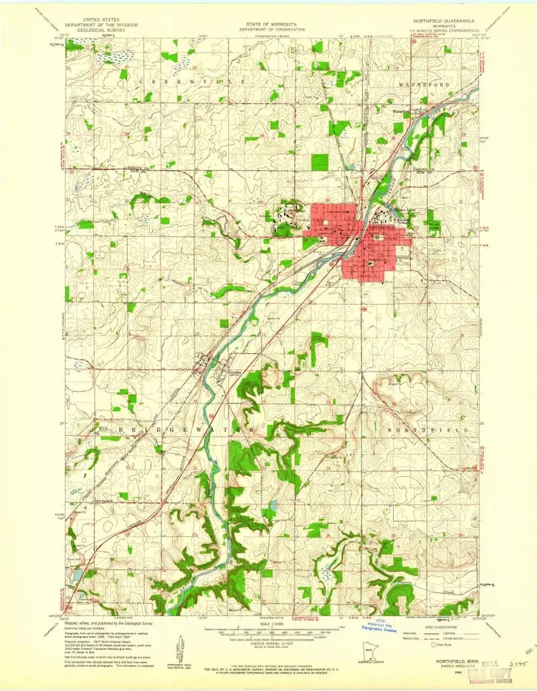
Northfield
1960
1:24k
Northfield
1960
1:24k
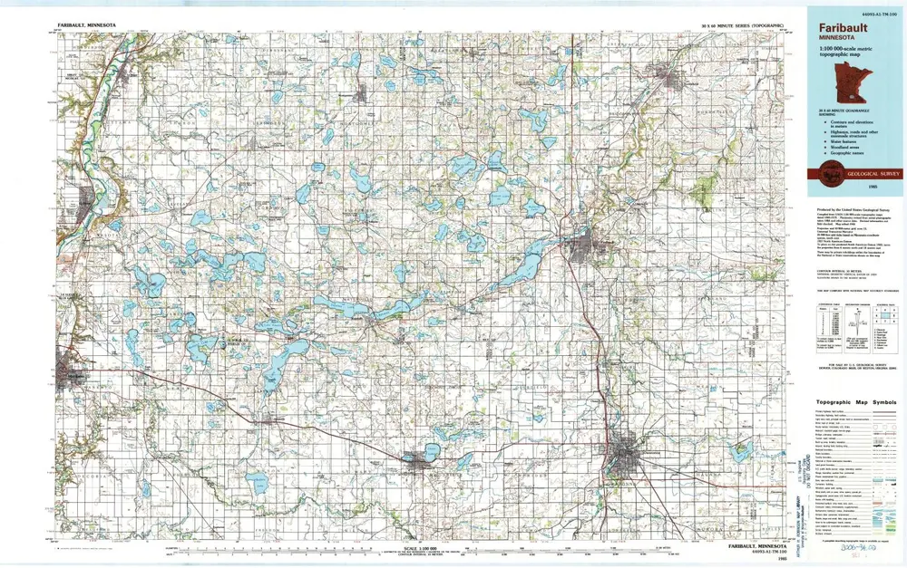
Faribault
1985
1:100k
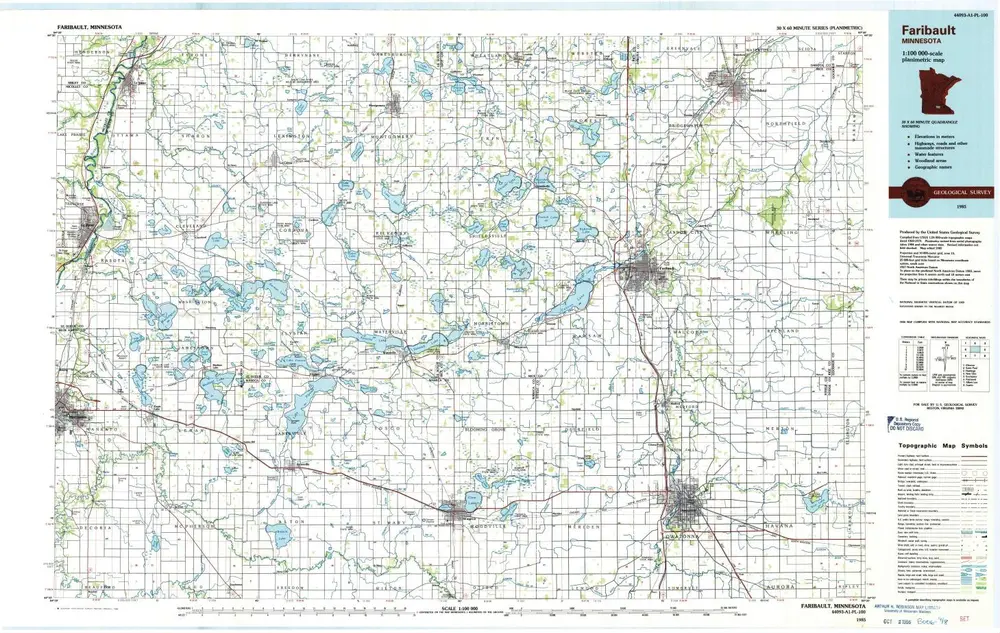
Faribault
1985
1:100k
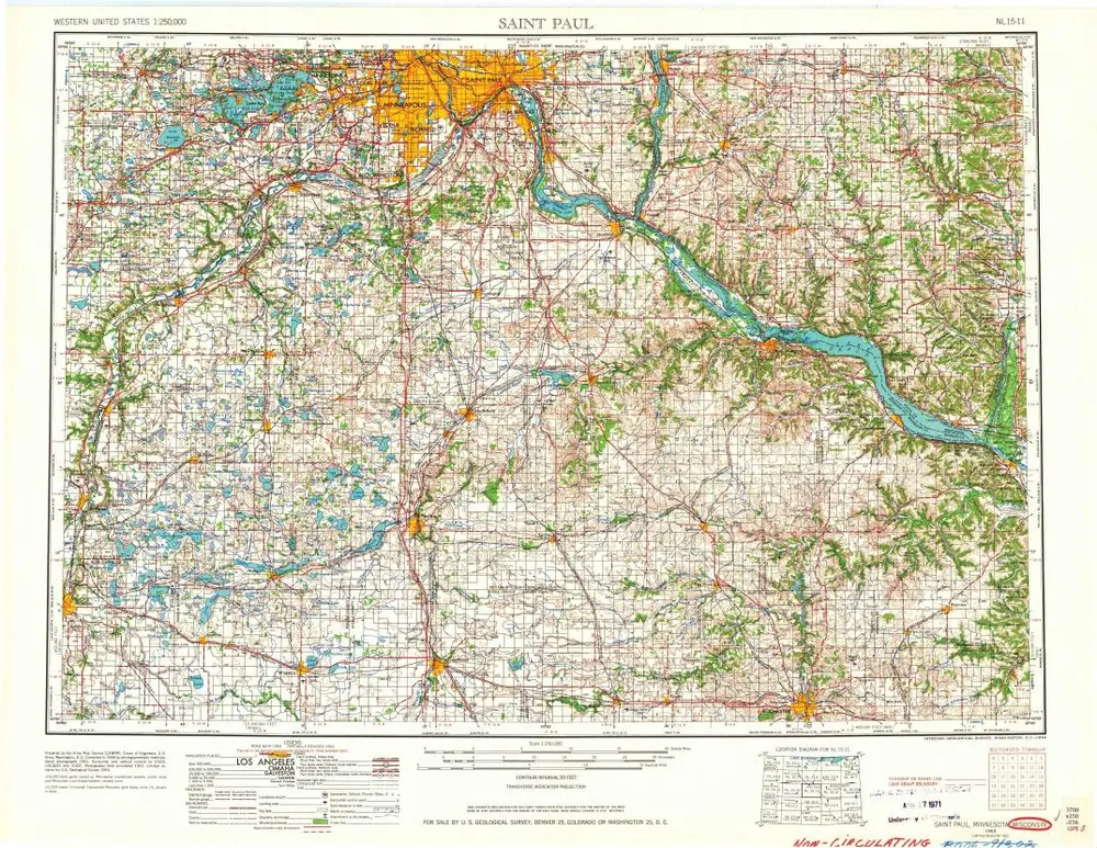
Saint Paul
1959
1:250k
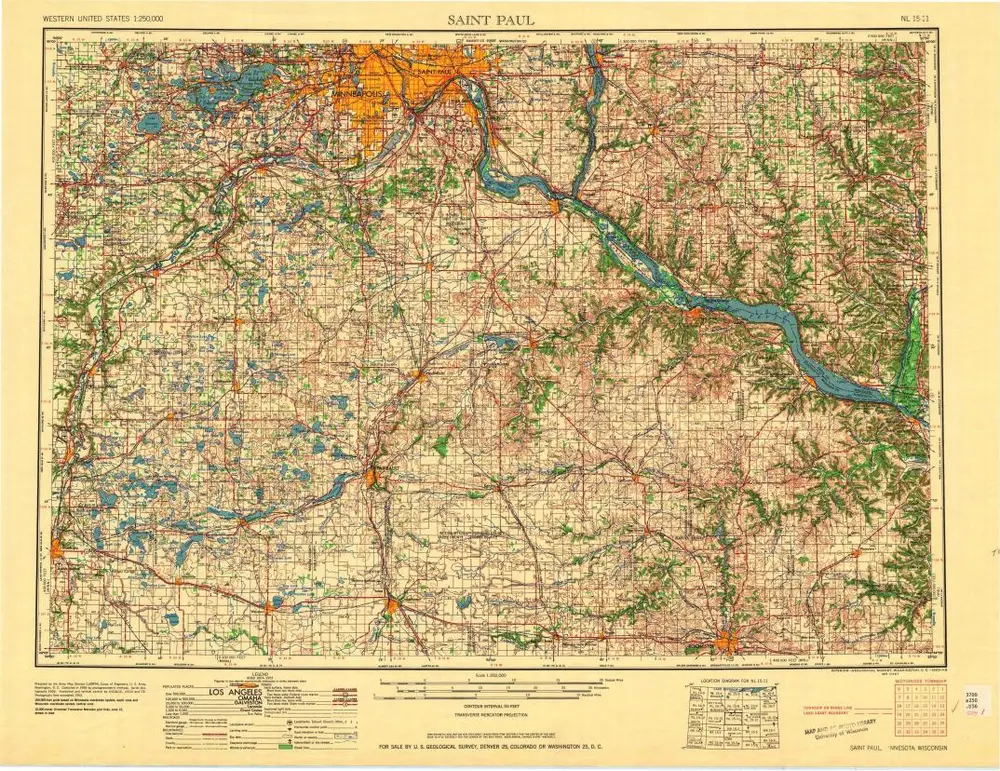
Saint Paul
1953
1:250k
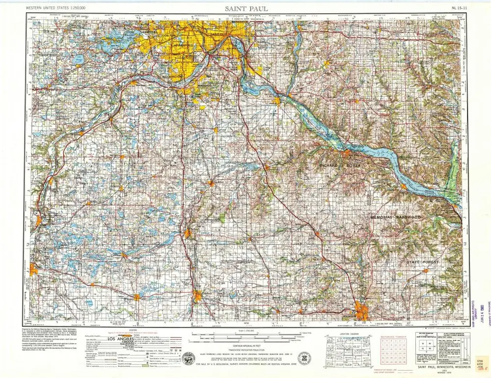
Saint Paul
1953
1:250k
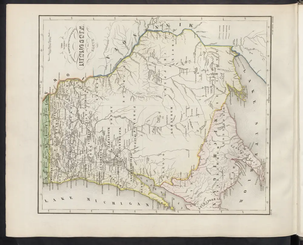
Karte von Wisconsin
1860
Meyer, J.
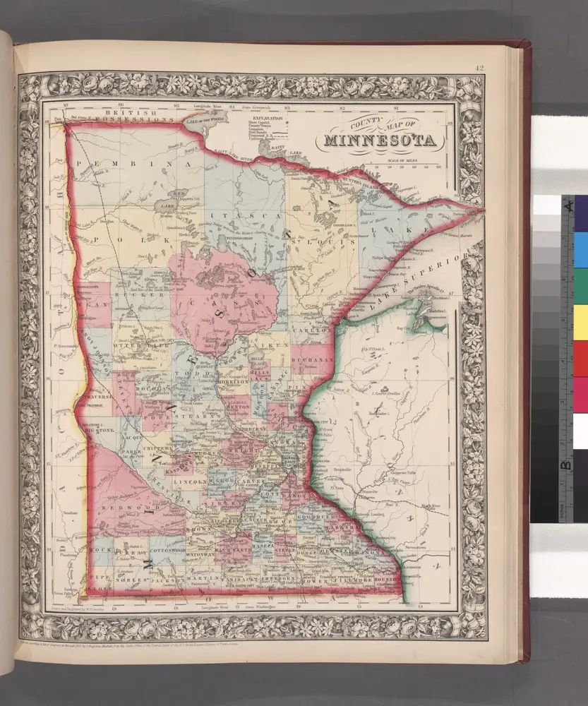
County map of Minnesota.
1860
History