Katalogisierte Karte
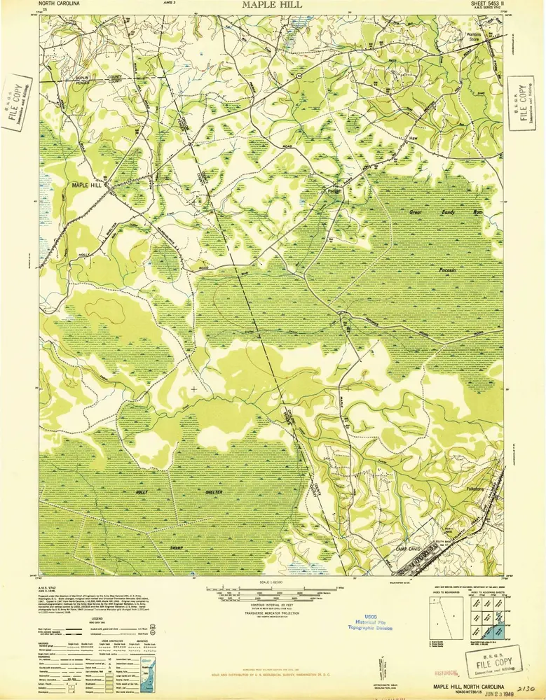
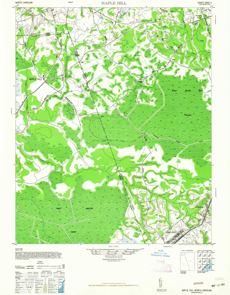
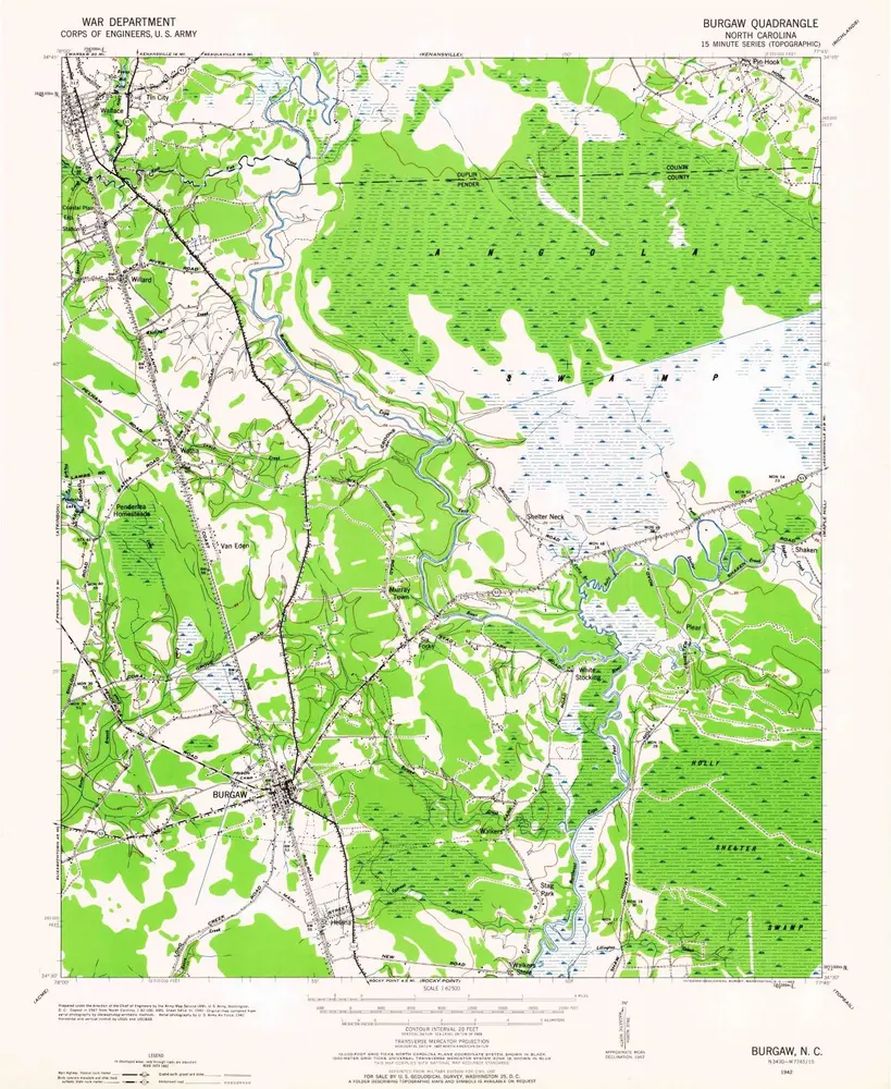
Map of country between the N.E. Cape-Fear River and Topsail sound


Einrichtung:Harvard Library
Vollständiger Titel:Map of country between the N.E. Cape-Fear River and Topsail sound
Jahr der Abbildung:1865
Veröffentlichungsdatum:1865
Maßstab der Karte:1:40 000