Skatalogowana mapa
The province of New Jersey, divided into east and west, commonly called the Jerseys
Instytucja:community
Pełny tytuł:The province of New Jersey, divided into east and west, commonly called the Jerseys
Rok ilustracji:1778
Wydawca:Perrier et Verrier
Skala mapy:1:430 000
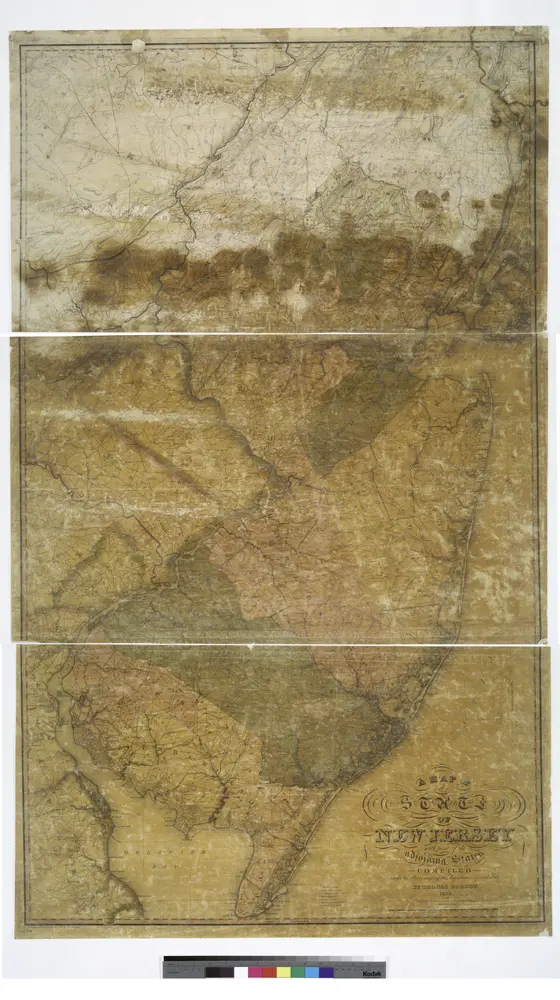
A map of the state of New Jersey: with part of the adjoining states / compiled under the patronage of the Legislature of said state by Thomas Gordon; engraved by H.S. Tanner, assisted by E.B. Dawson & W. Allen.
1828
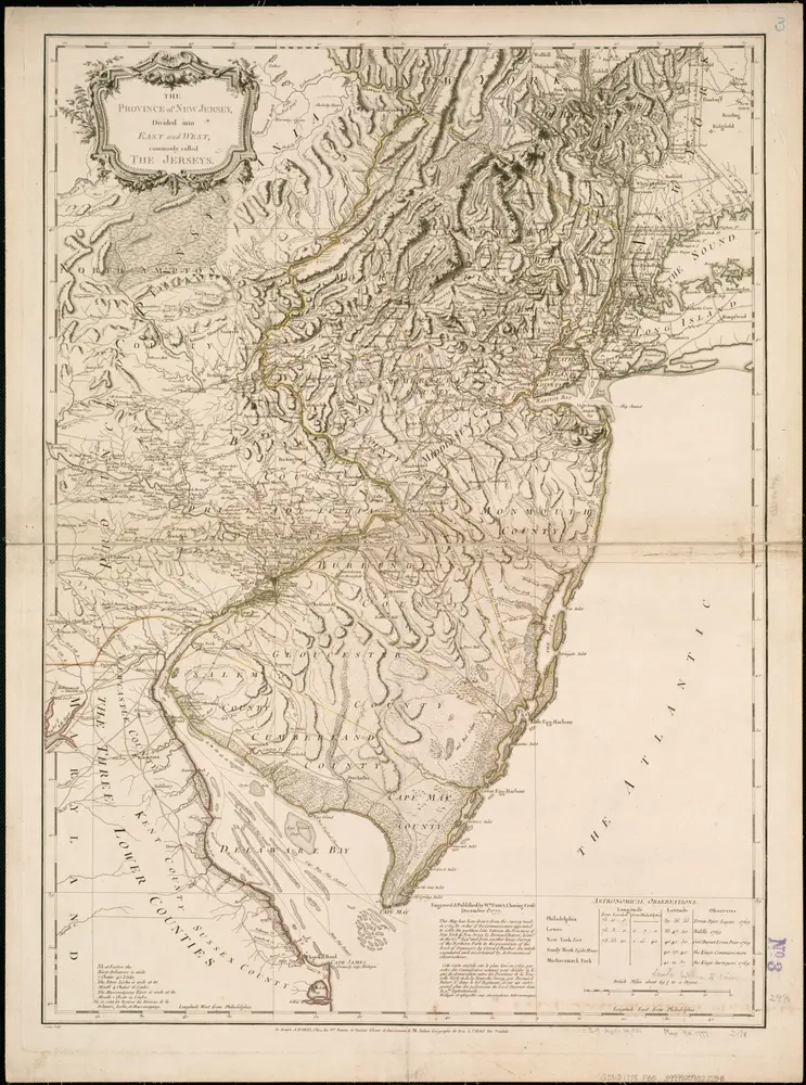
The province of New Jersey, divided into east and west, commonly called the Jerseys
1778
Faden, William
1:430k

A map of New Jersey, from the best authorities.
1794
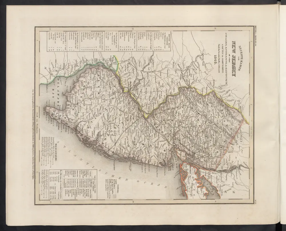
[Neueste Karte von New Jersey mit seinen Strassen, Entfernungen der Hauptpunkte und Routen für Dampfschiffe]
1860
Meyer, J.
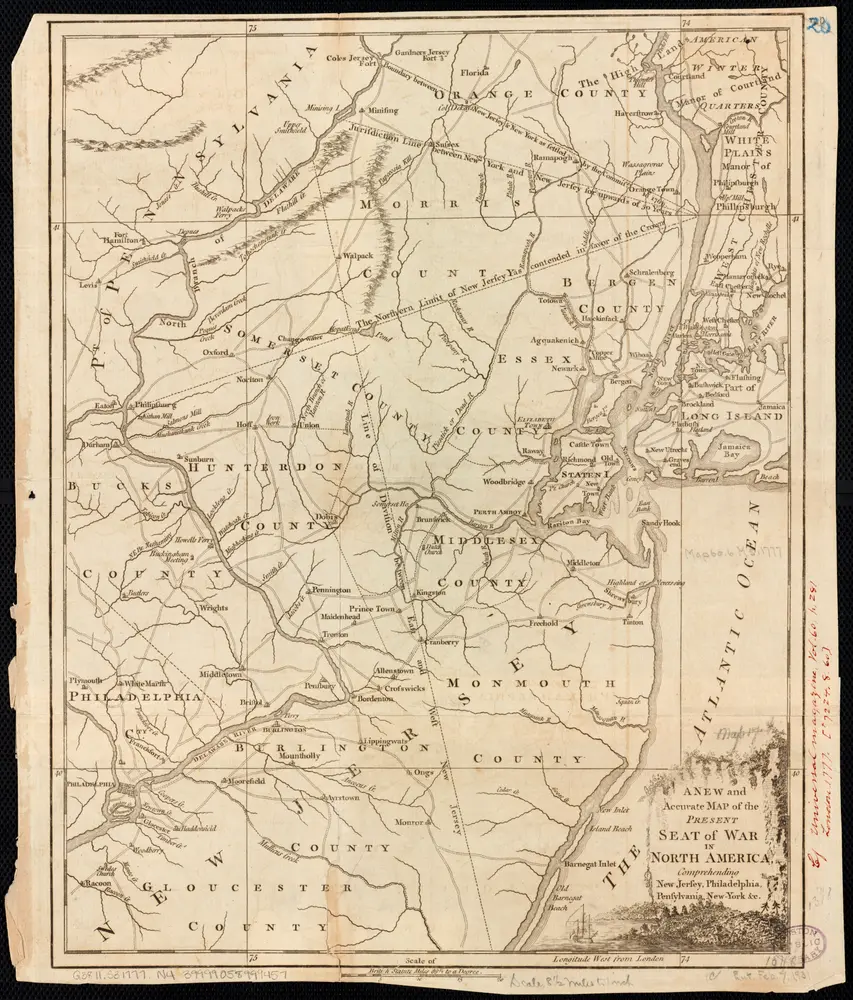
A New and accurate map of the present seat of war in North America, comprehending New Jersey, Philadelphia, Pensylvania, New-York, &c.
1777
1:550k
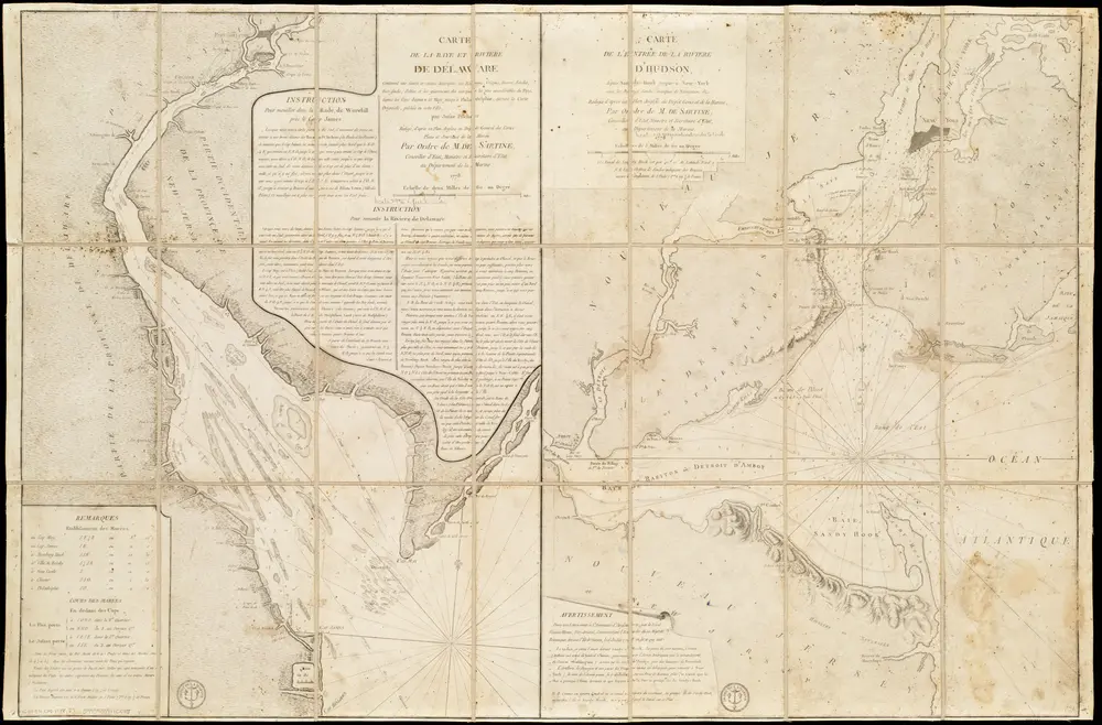
Carte de la Baye et Riviere de Délaware, contenant une éxacte et entiére description des rivages, criques, havres, sondes, bas-sonds, sables et gissements des marques ...
1778
France. Dépôt des cartes et plans de la marine
1:31k
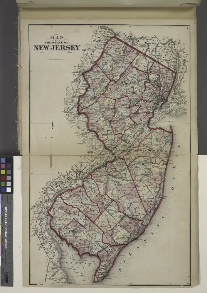
Map of The State of New Jersey
1873
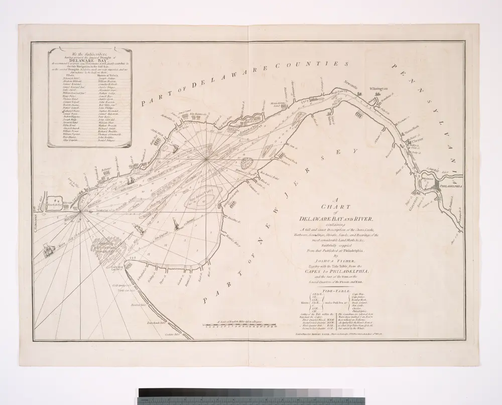
A chart of Delaware Bay and River : containing a full and exact description of the shores, creeks, harbours, soundings, shoals, sands, and bearings of the most considerable land marks &c. &c. / faithfully coppied [sic] from that published at Philadelphia
1800
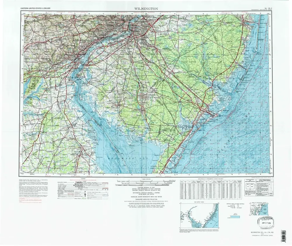
Wilmington
1972
1:250k
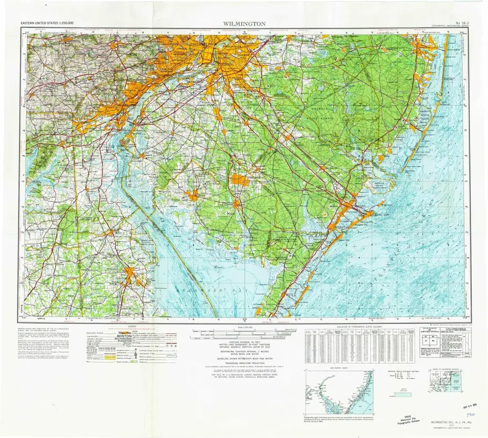
Wilmington
1972
1:250k
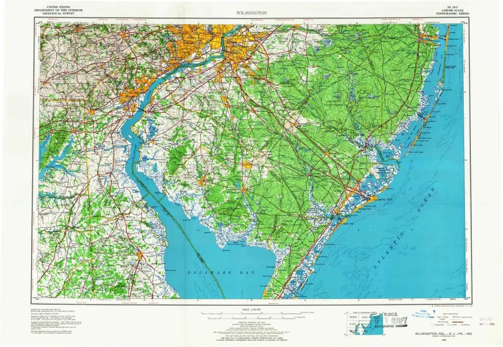
Wilmington
1966
1:250k
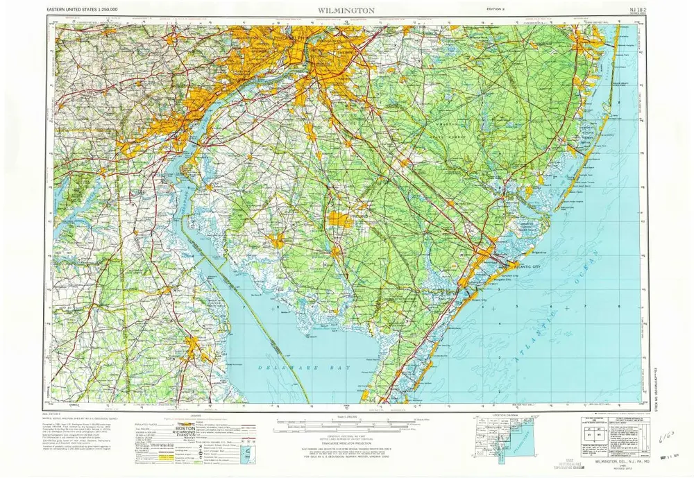
Wilmington
1966
1:250k
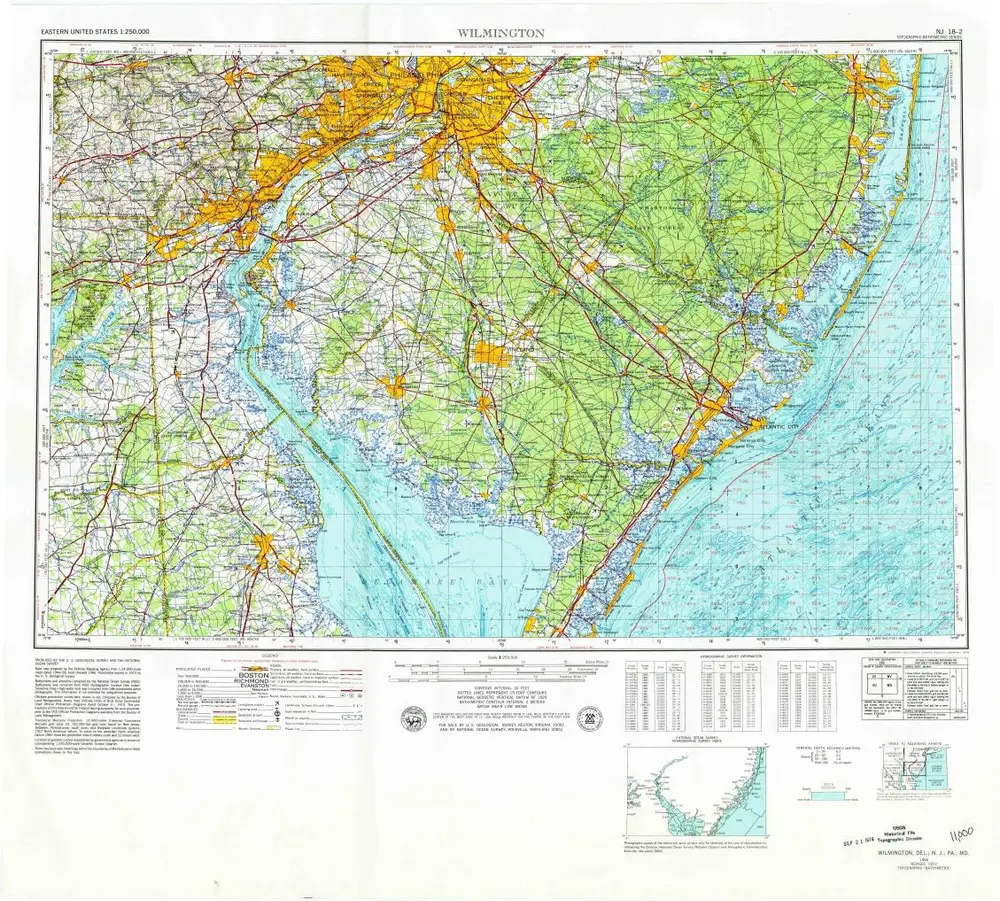
Wilmington
1966
1:250k
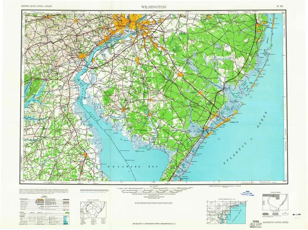
Wilmington
1959
1:250k
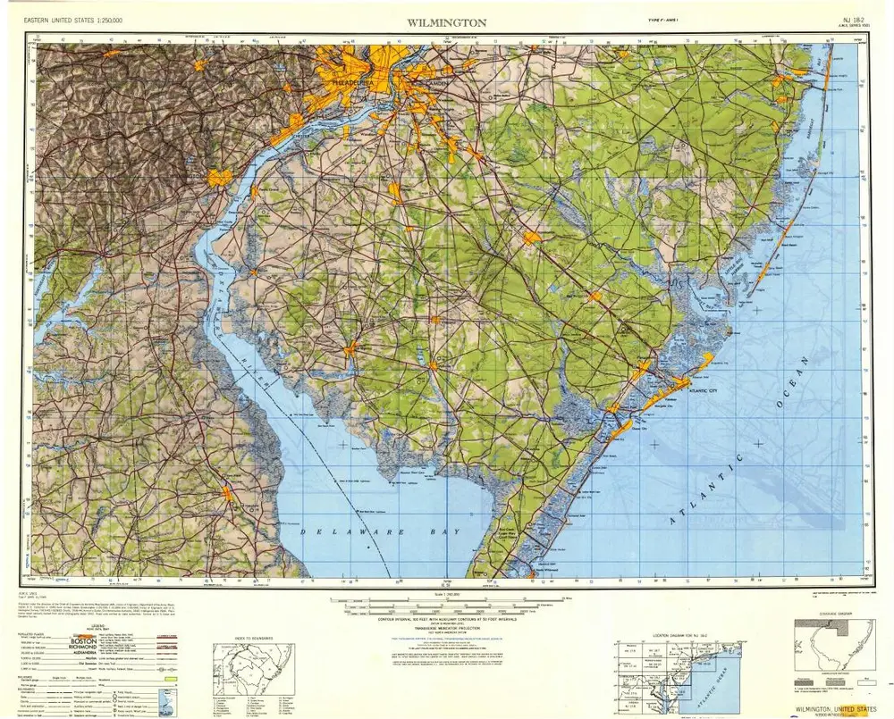
Wilmington
1946
1:250k


