项目
社区
新闻
我的应用程序
我的地图
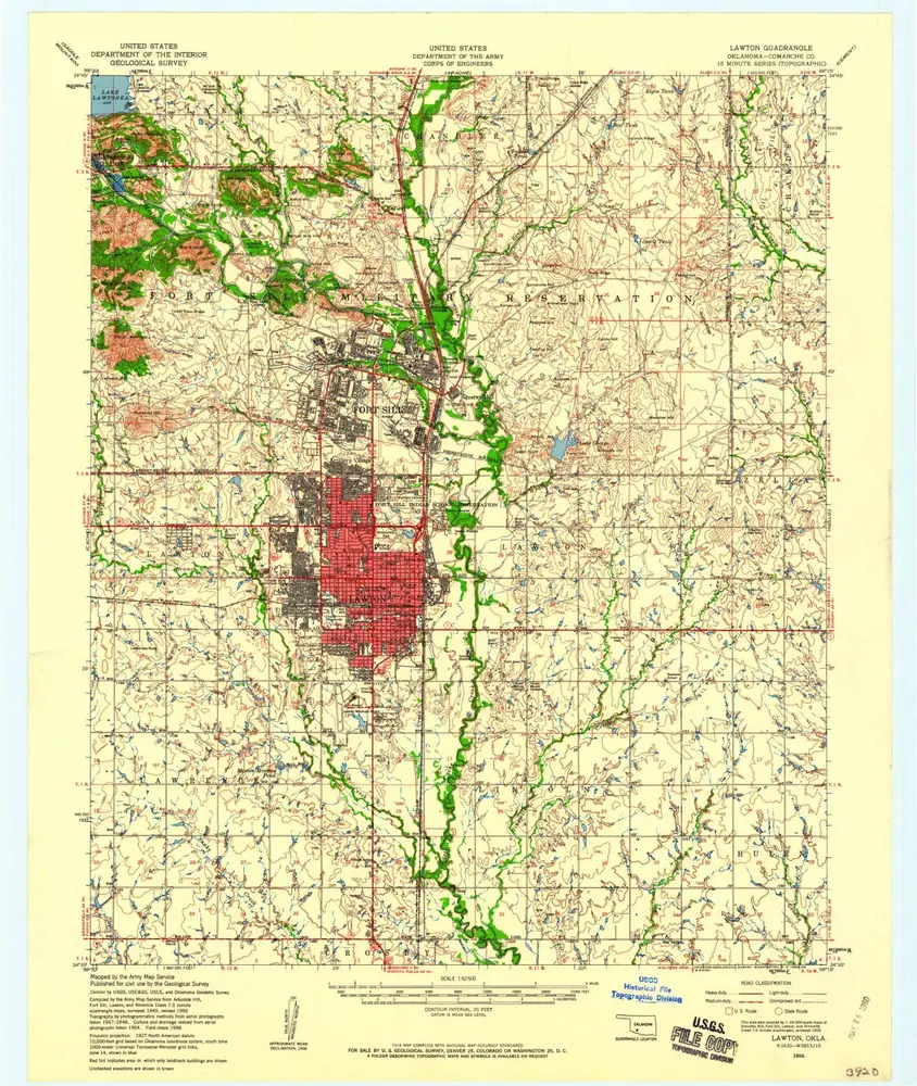
Katalogisierte Karte
Lawton
在外部网站上查看
查看數位化
Einrichtung:
United States Geological Survey
Vollständiger Titel:
Lawton
Jahr der Abbildung:
1956
Veröffentlichungsdatum:
1971
Maßstab der Karte:
1:24 000
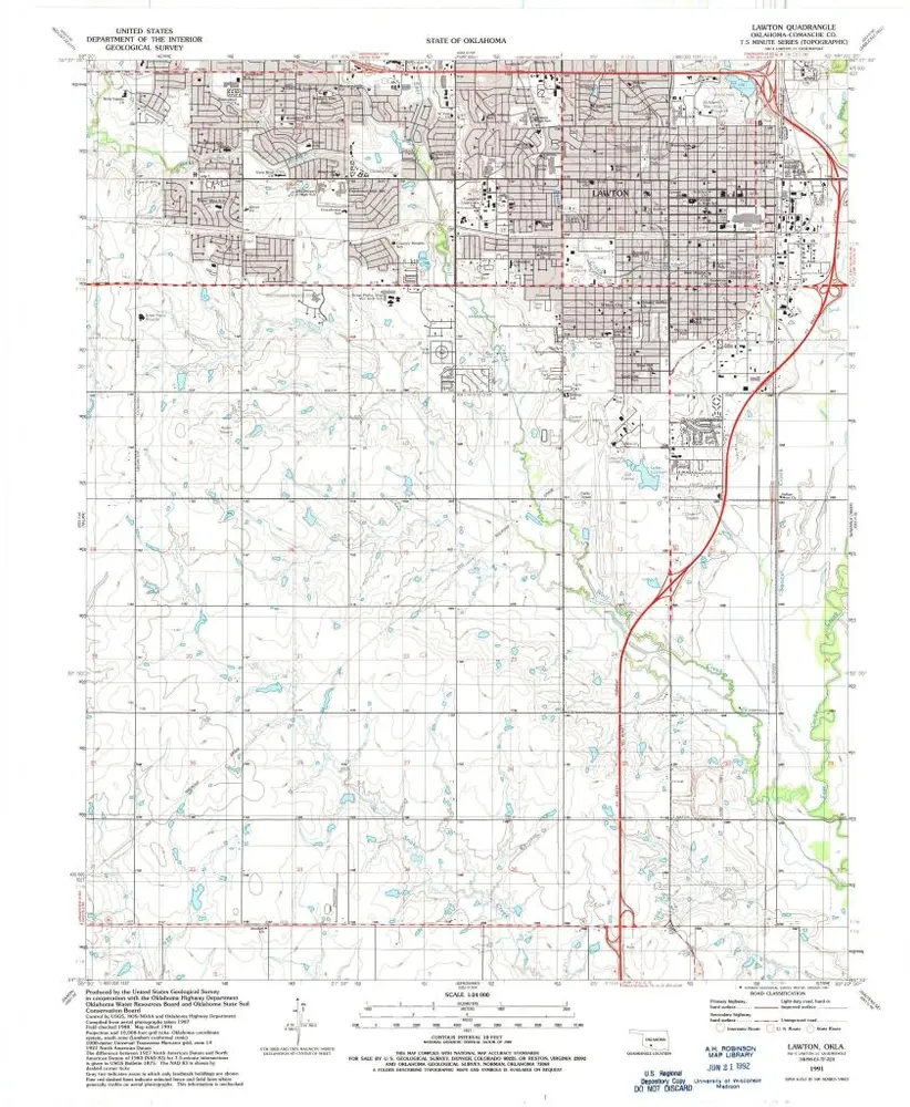
Lawton
1991
1:24k
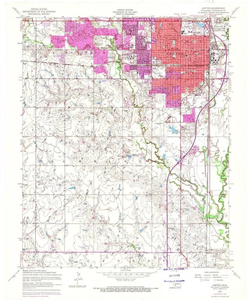
Lawton
1956
1:24k
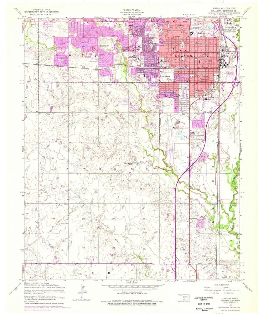
Lawton
1956
1:24k
Lawton
1956
1:63k
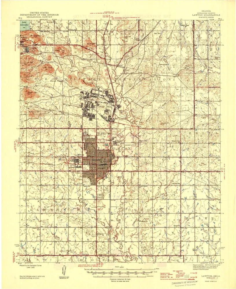
Lawton
1946
1:63k
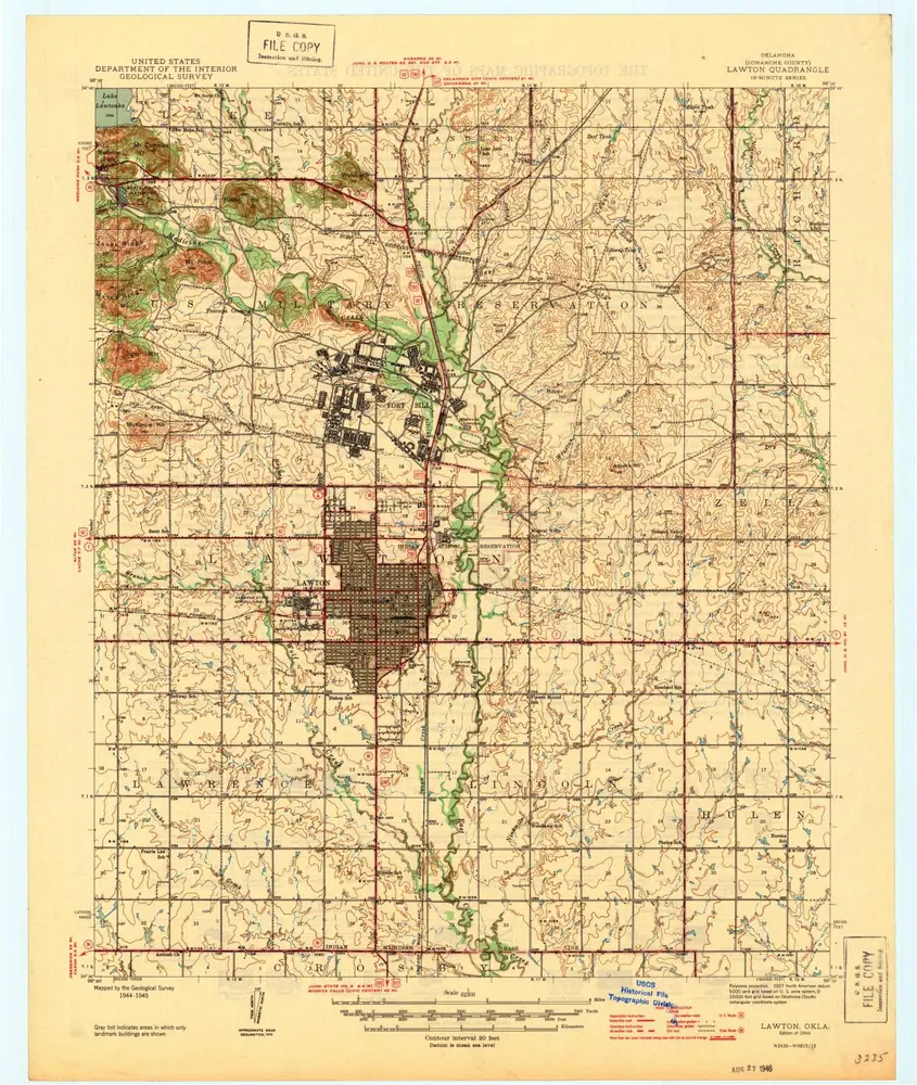
Lawton
1946
1:63k
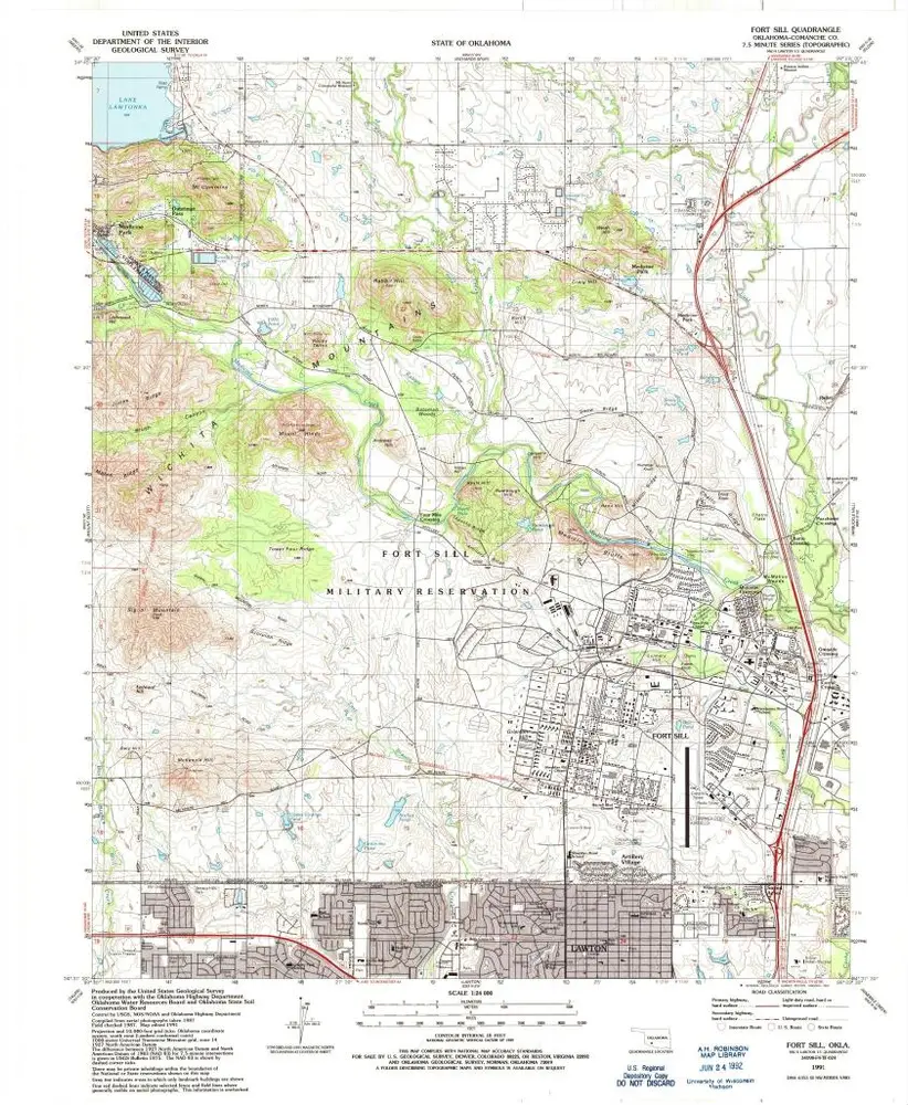
Fort Sill
1991
1:24k
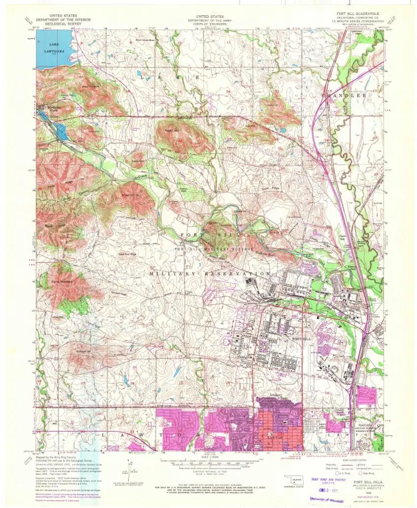
Fort Sill
1956
1:24k
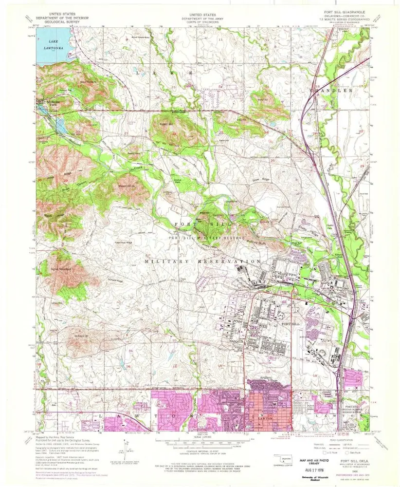
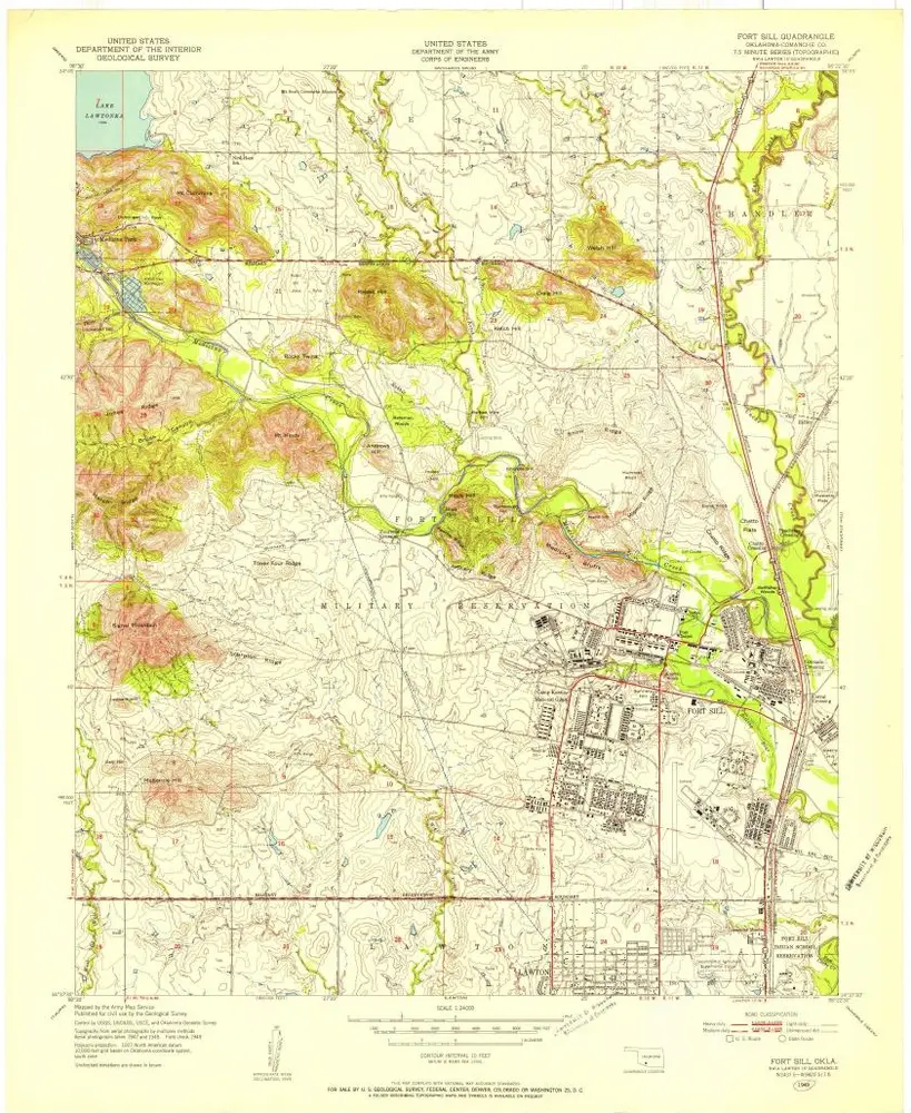
Fort Sill
1956
1:24k
Fort Sill
1949
1:24k
Geschichte