项目
社区
新闻
我的应用程序
我的地图
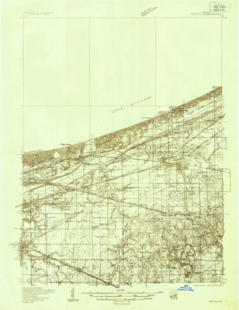
Cataloged map
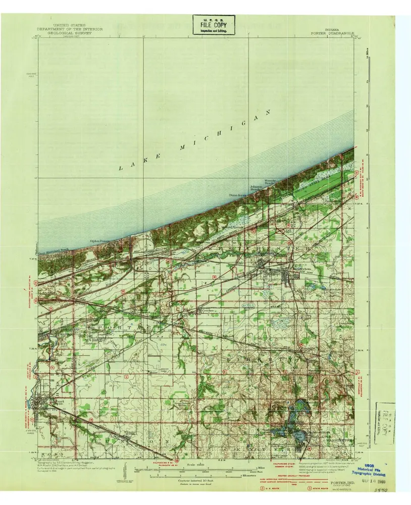
Porter
在外部网站上查看
查看數位化
Institution:
United States Geological Survey
Full title:
Porter
Depicted:
1940
Map scale:
1:62 500
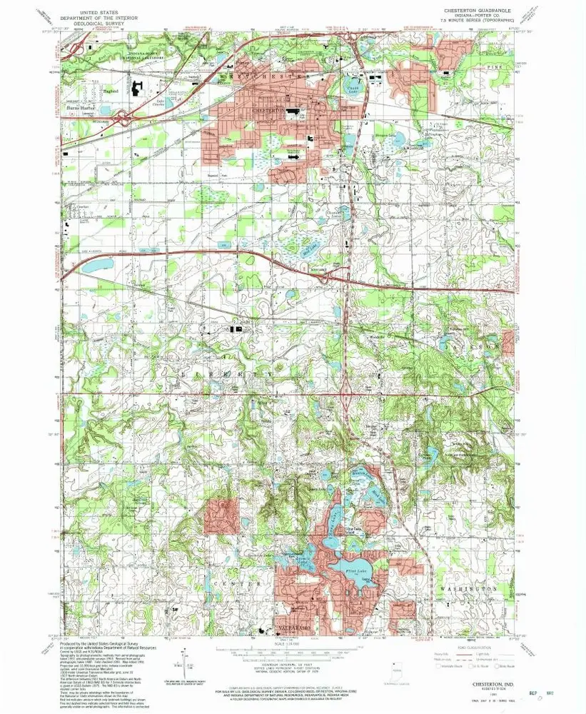
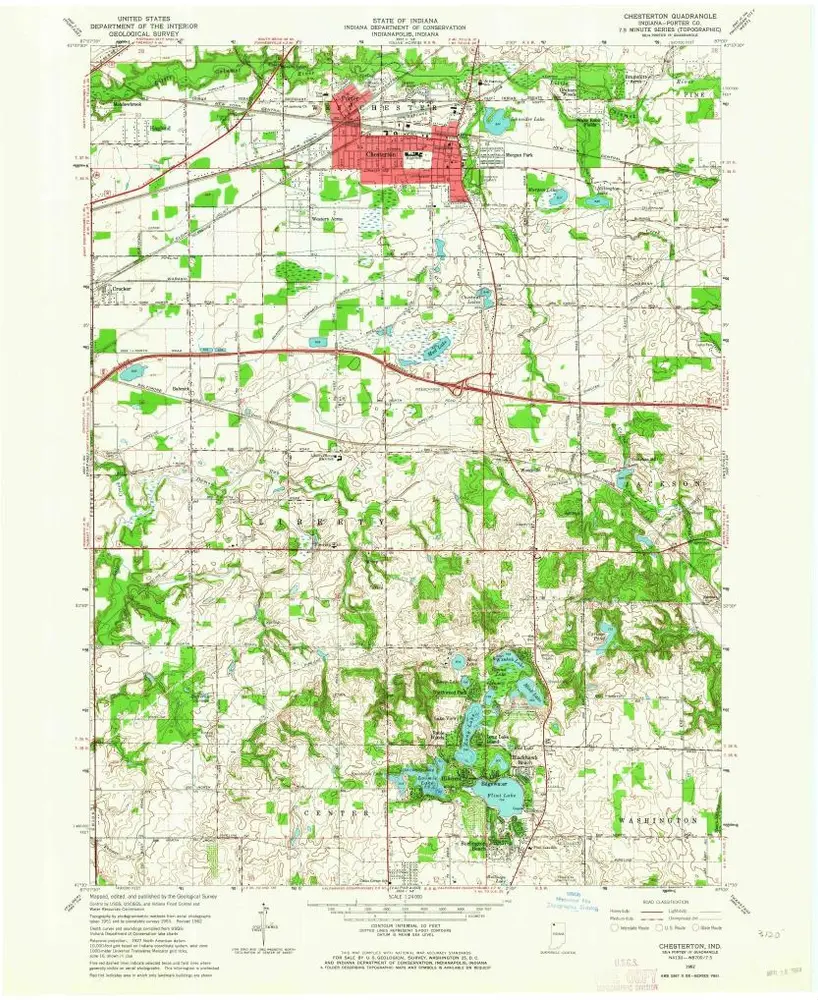
Chesterton
1991
1:24k
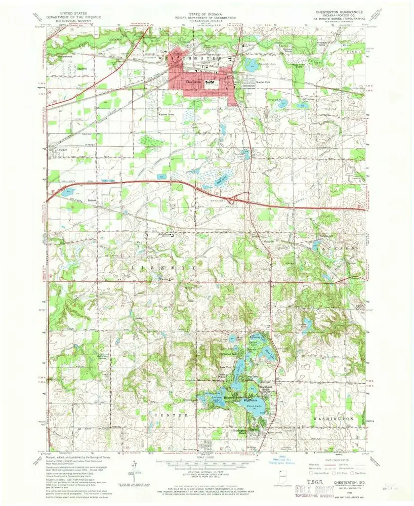
Chesterton
1962
1:24k
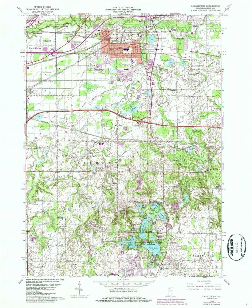
Chesterton
1962
1:24k
Chesterton
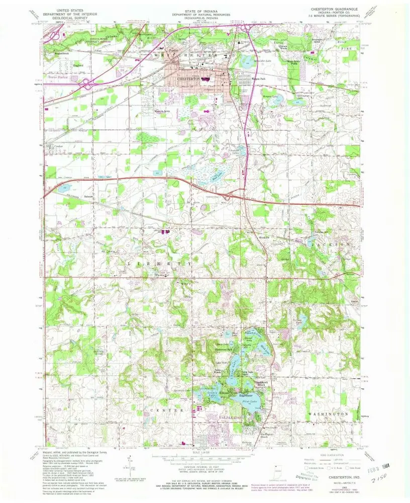
1962
1:24k
Chesterton
1962
1:24k
Chestertown
1953
1:24k
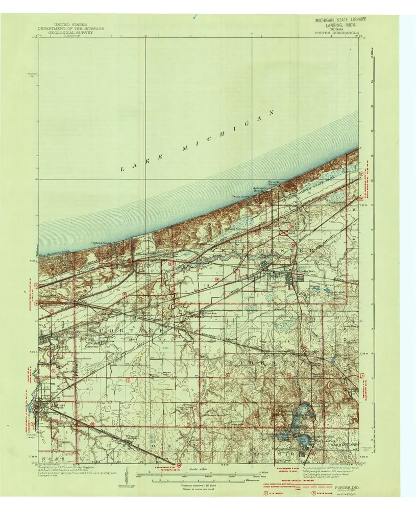
Porter
1940
1:63k
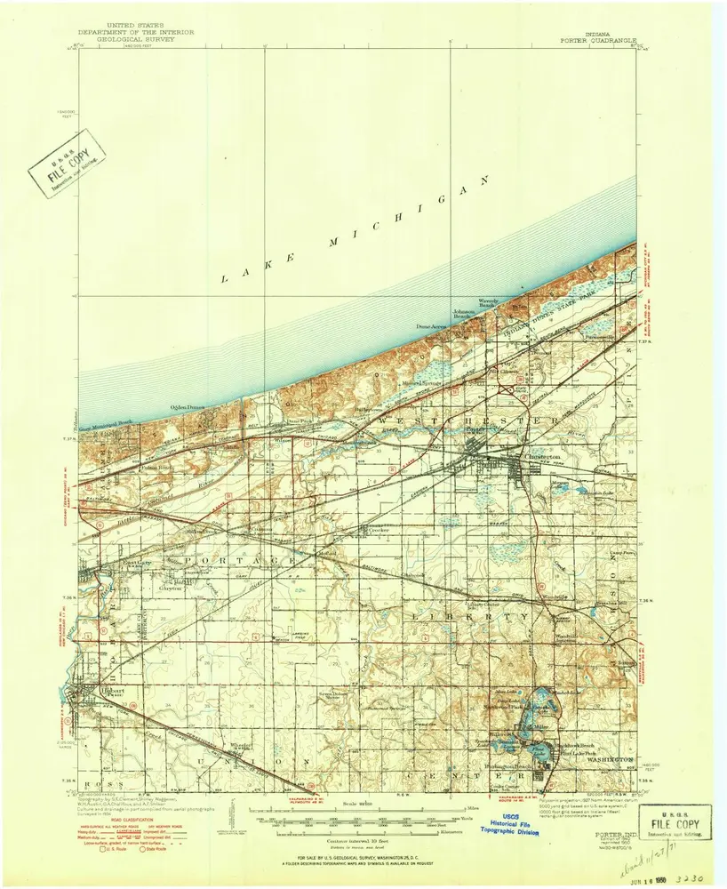
Porter
1940
1:63k
Porter
1940
1:63k
Porter
1934
1:48k
History