Carte cataloguée
West Point

Institution:United States Geological Survey
Titre complet:West Point
Année de l'image:1957
Date de publication:1988
Échelle de la carte:1:24 000
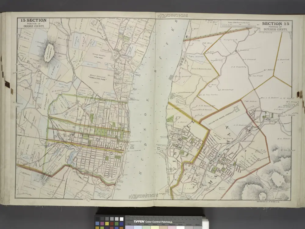
Portion of Orange County. ; Portion of Dutchess County.
1891
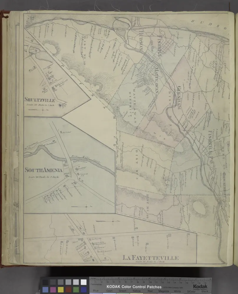
Shultzville [Village]; South Amenia [Village]; La Fayetteville [Villahe]; Fishkill [Township]; Jacksons Corners [Village]
1876
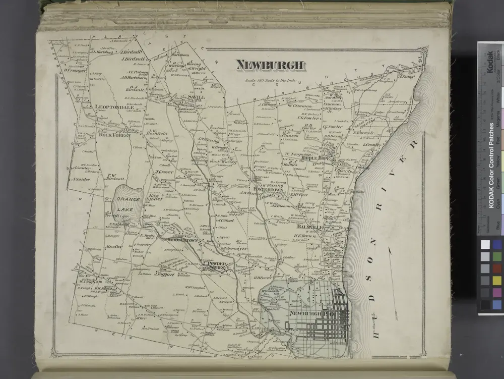
Newburgh [Township]
1875
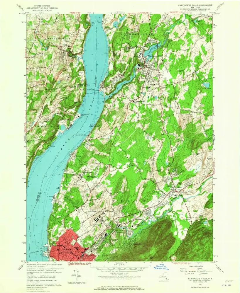
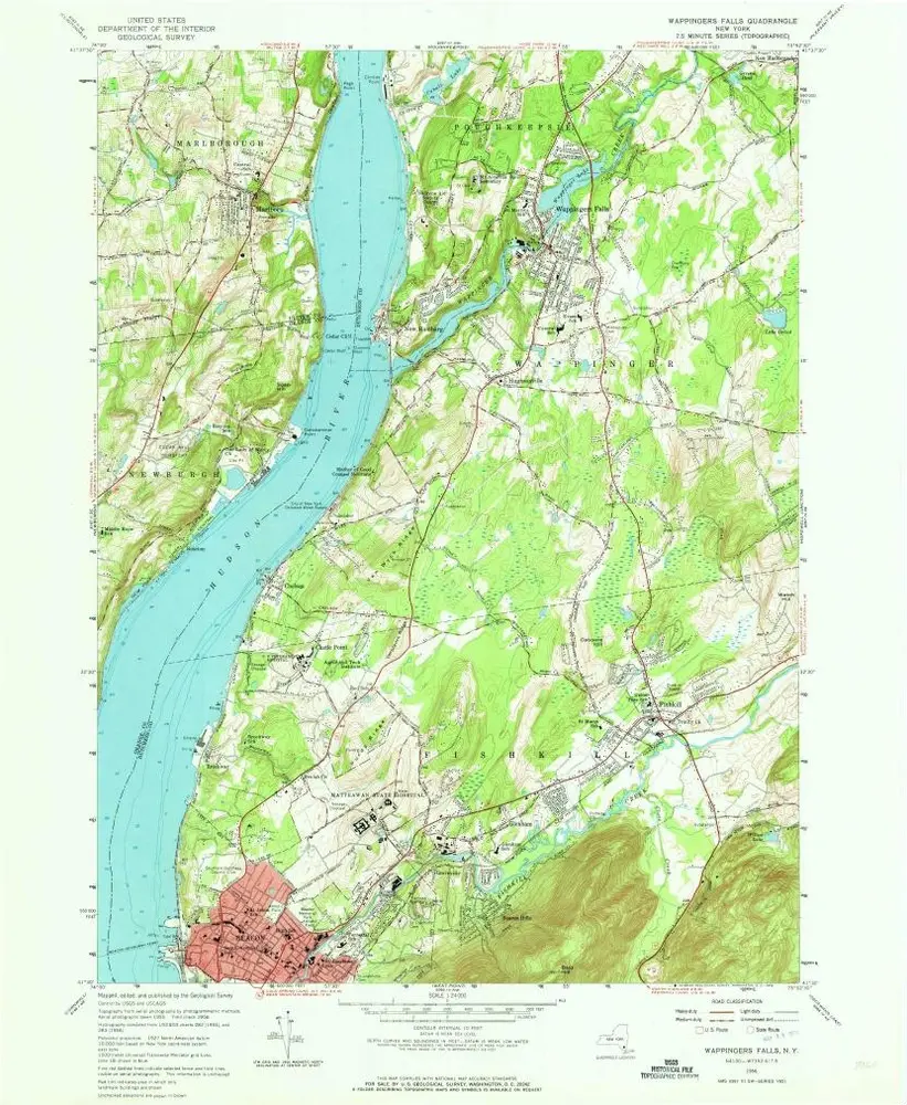
Wappingers Falls
1956
1:24k
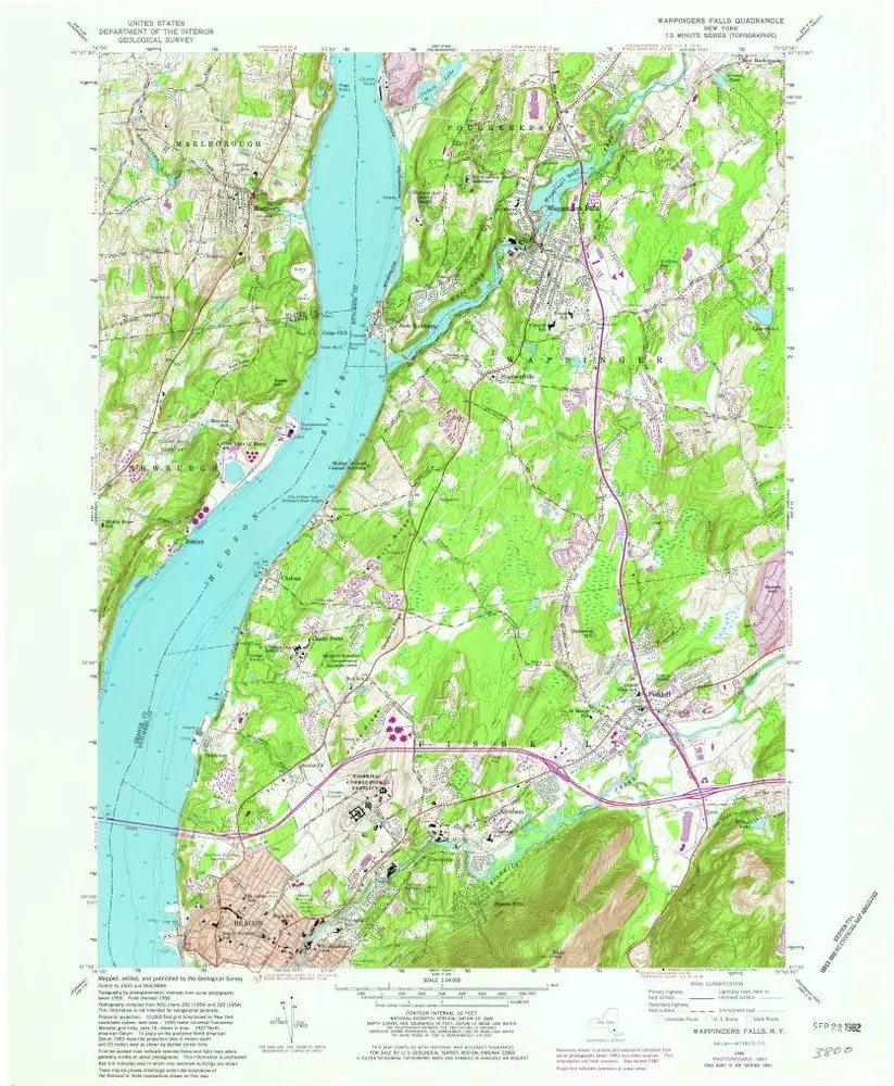
Wappingers Falls
1956
1:24k
Wappingers Falls
1956
1:24k
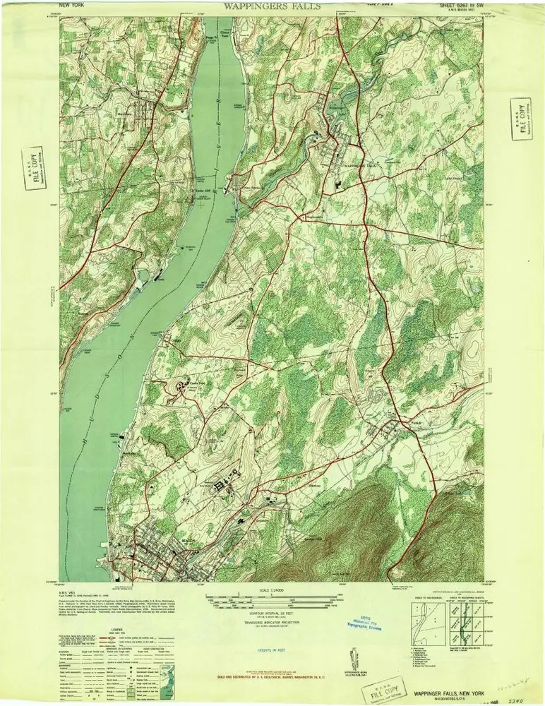
Wappinger Falls
1947
1:24k
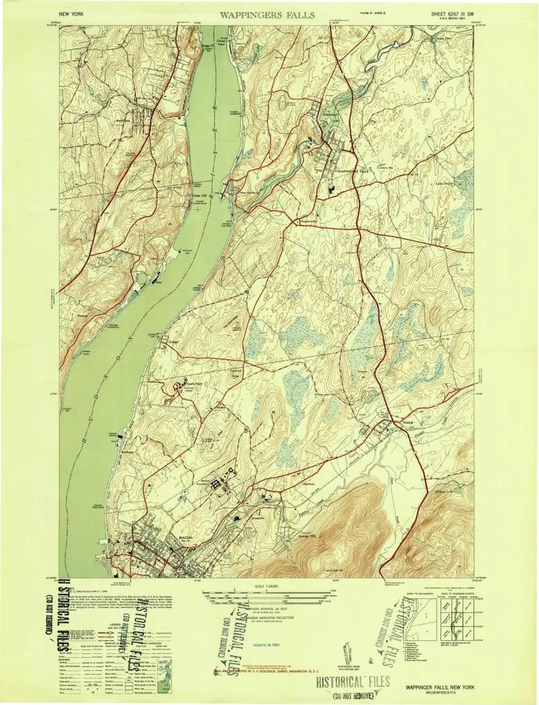
Wappinger Falls
1947
1:24k
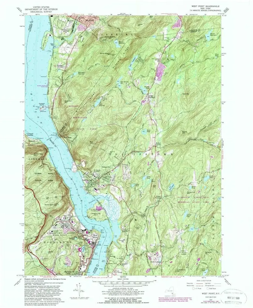
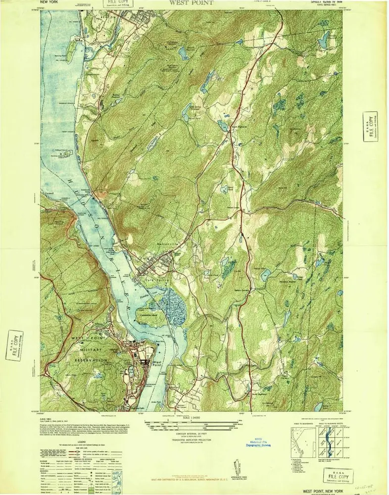
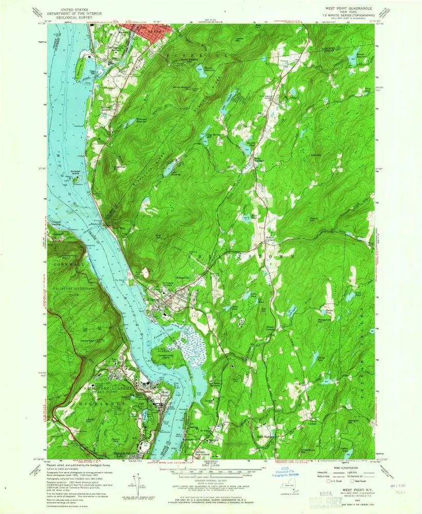
West Point
1957
1:24k
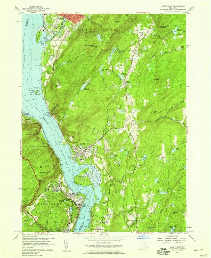
West Point
1957
1:24k
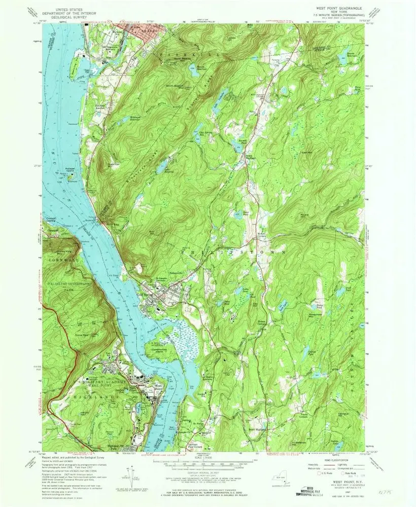
West Point
1957
1:24k
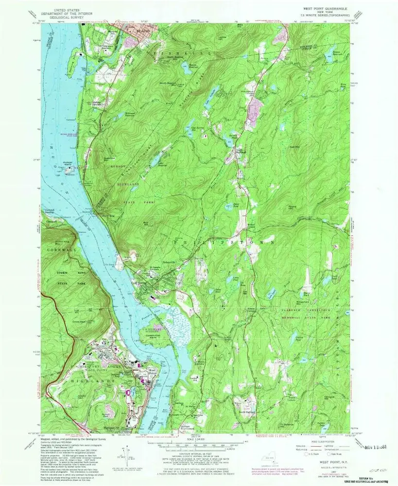
West Point
1957
1:24k
West Point
1947
1:24k
West Point
1941
1:24k