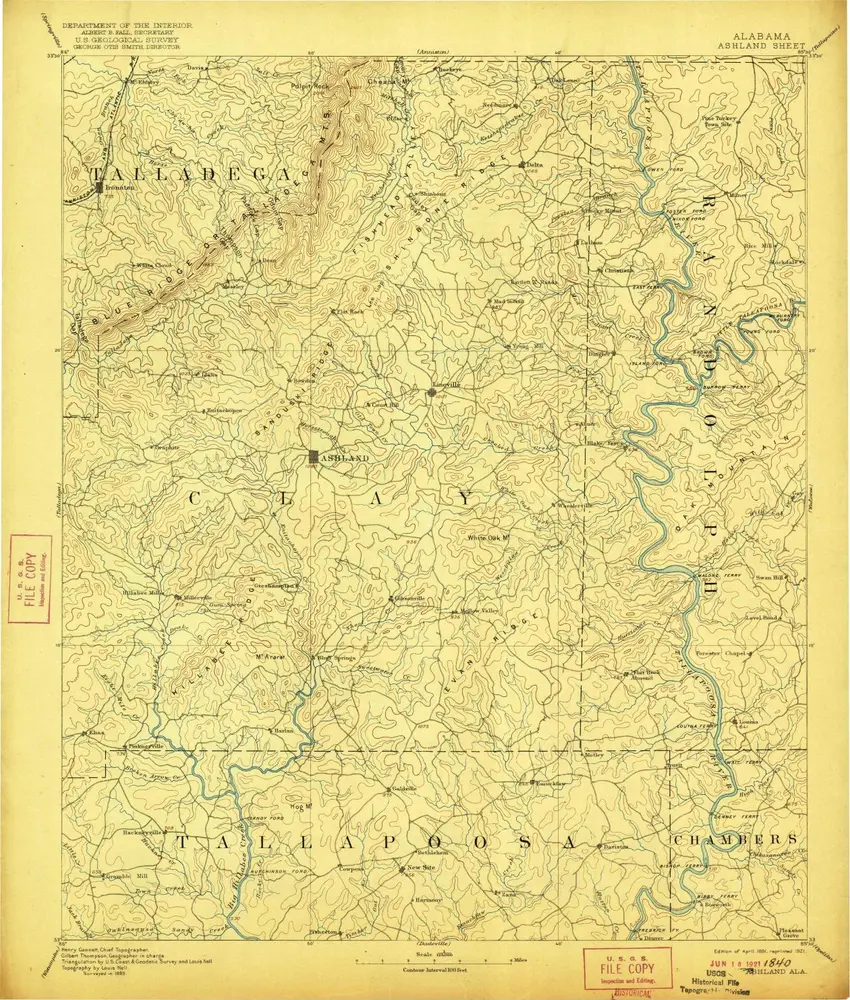
Cataloged map

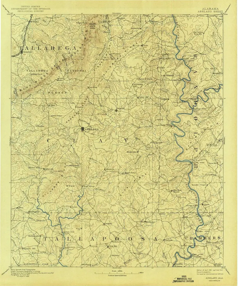
Ashland
1891
1:125k
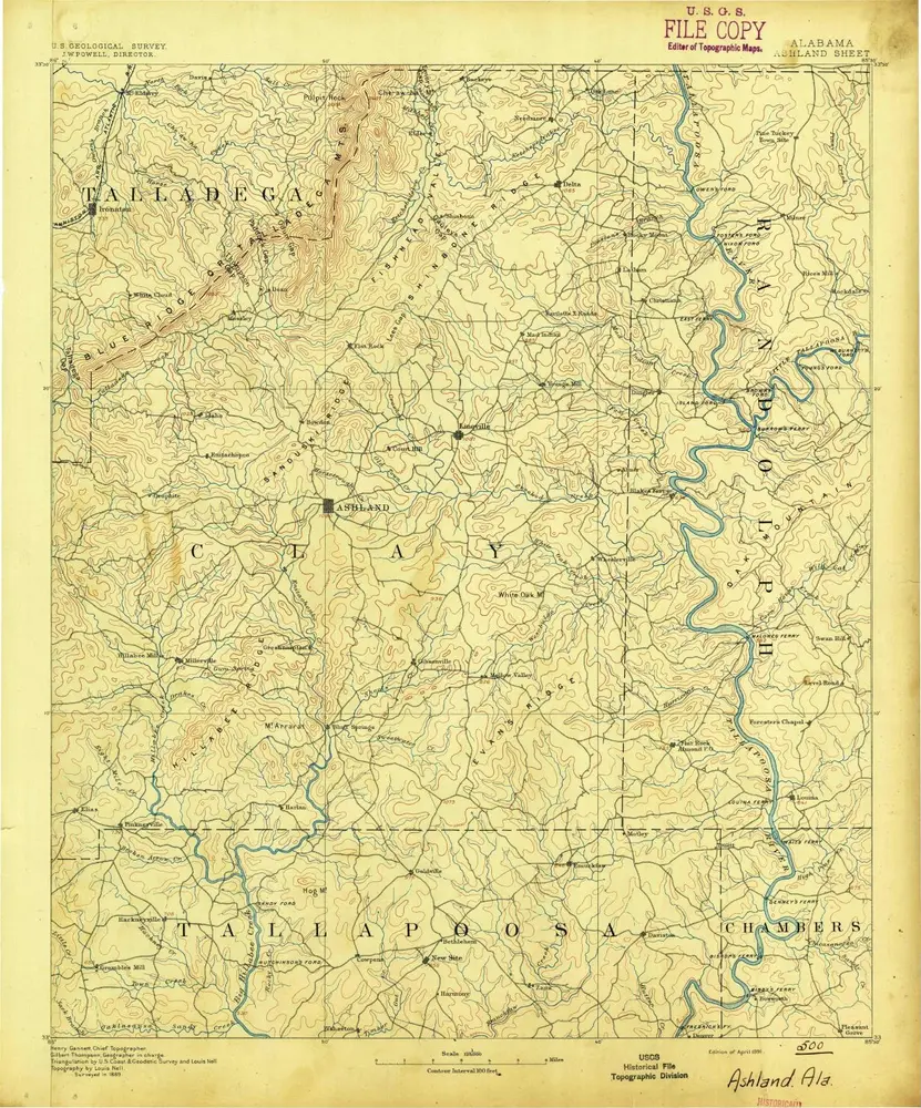
Ashland
1891
1:125k
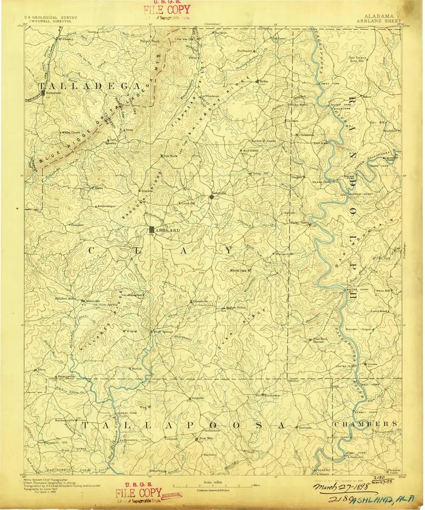
Ashland
1891
1:125k
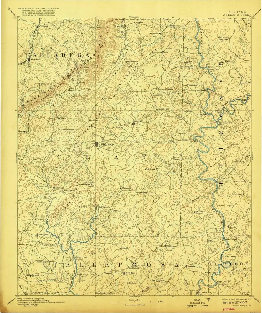
Ashland
1891
1:125k
Ashland
1891
1:125k
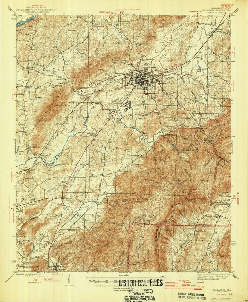
Talladega
1946
1:63k
Talladega
1946
1:63k
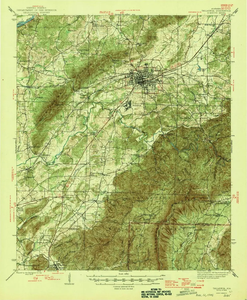
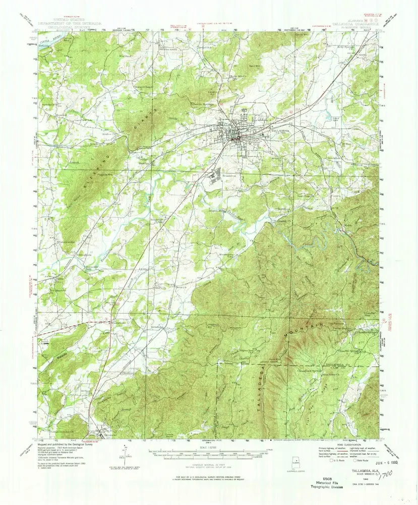
Talladega
1943
1:63k
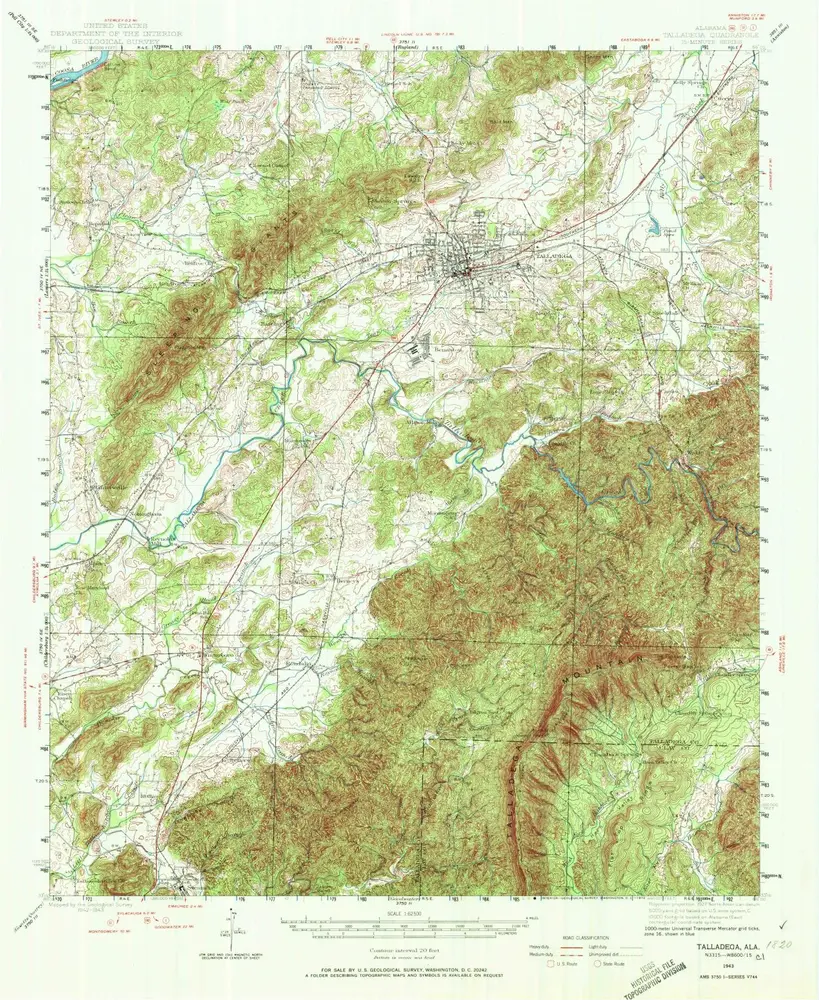
Talladega
1943
1:63k
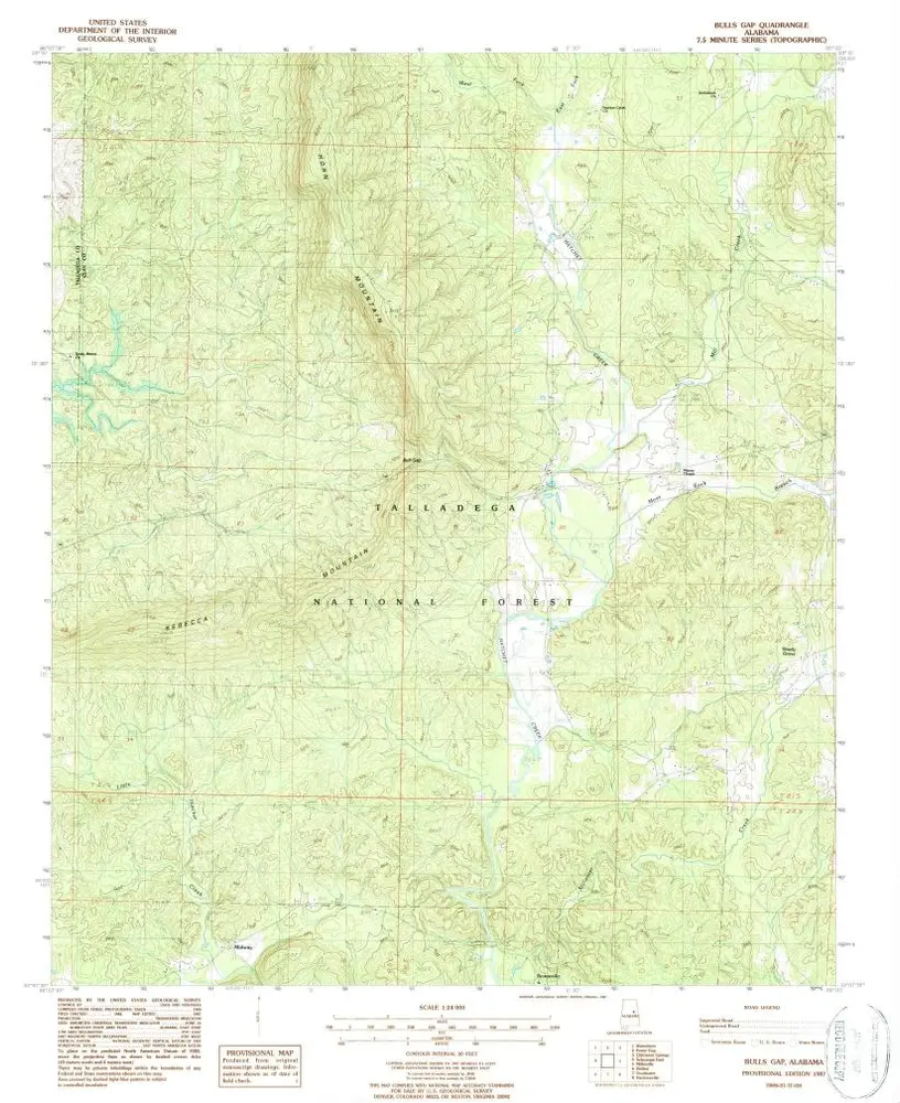
Bulls Gap
2001
1:24k
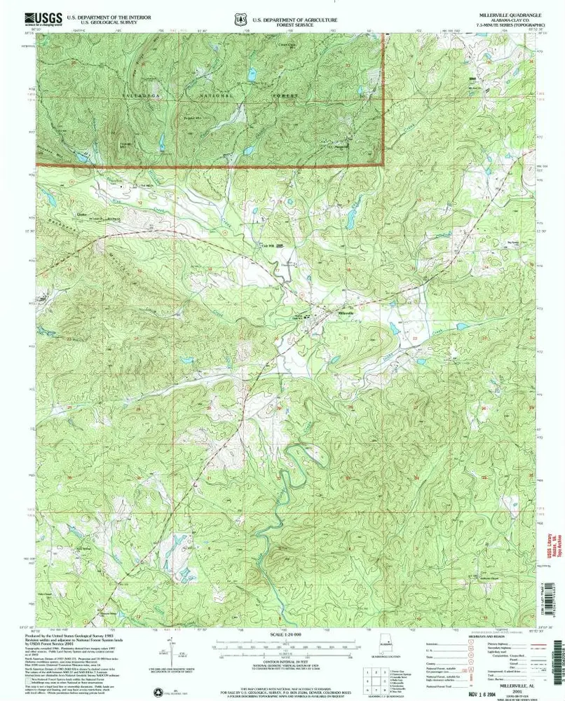
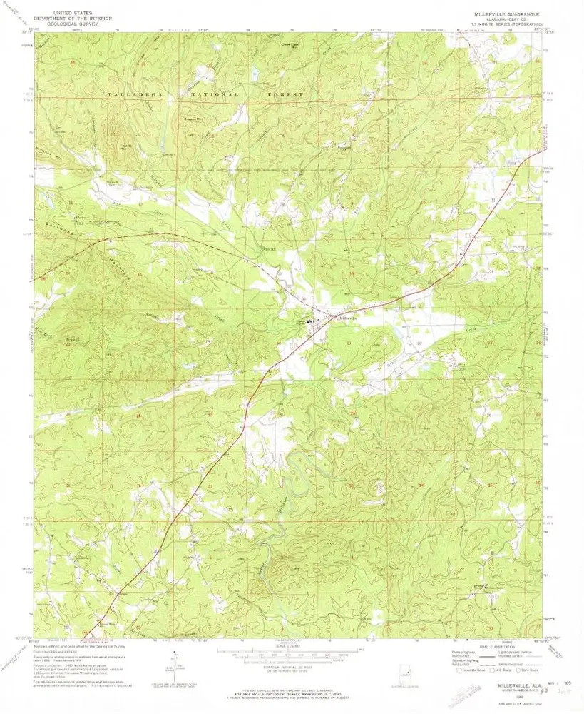
Millerville
2001
1:24k
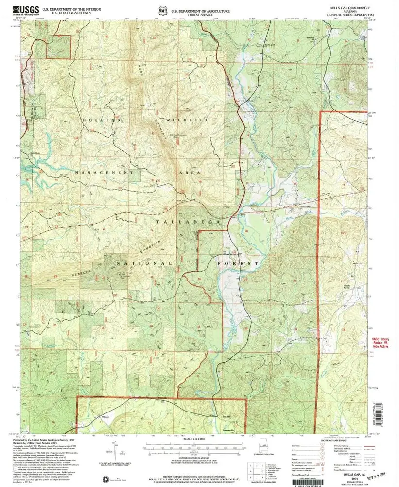
Bulls Gap
1987
1:24k
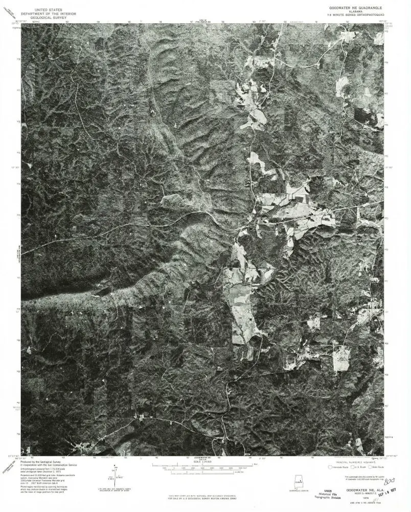
Goodwater NE
1975
1:24k
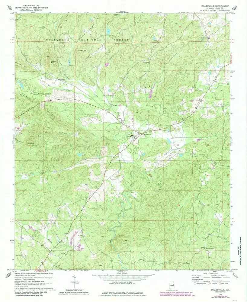
Millerville
1969
1:24k
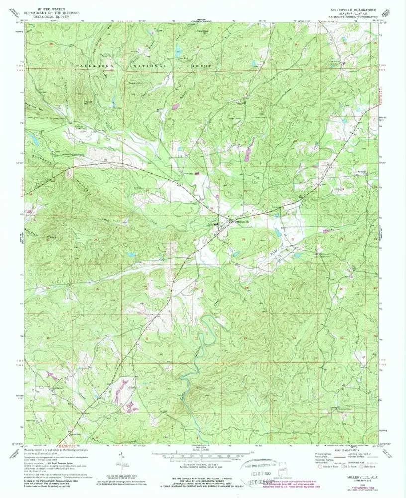
Millerville
1969
1:24k
Millerville
1969
1:24k
Gibsonville
1969
1:24k