项目
社区
新闻
我的应用程序
我的地图
Katalogisierte Karte
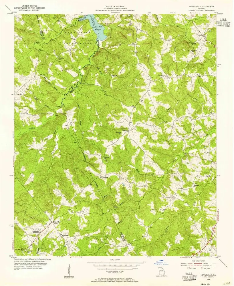
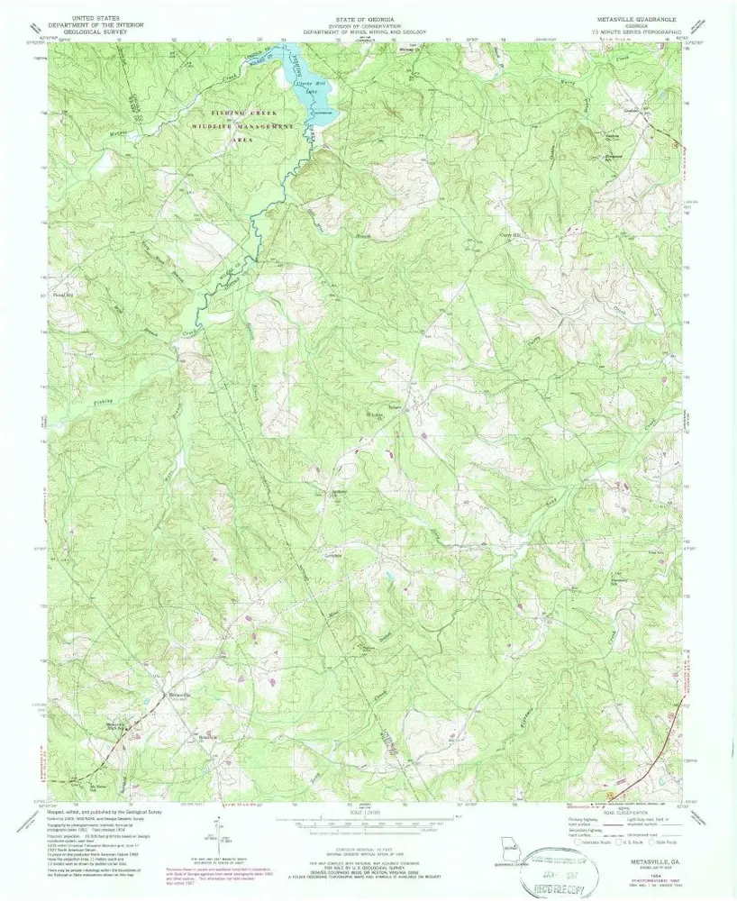
Metasville
在外部网站上查看
查看數位化
Einrichtung:
United States Geological Survey
Vollständiger Titel:
Metasville
Jahr der Abbildung:
1954
Veröffentlichungsdatum:
1955
Maßstab der Karte:
1:24 000
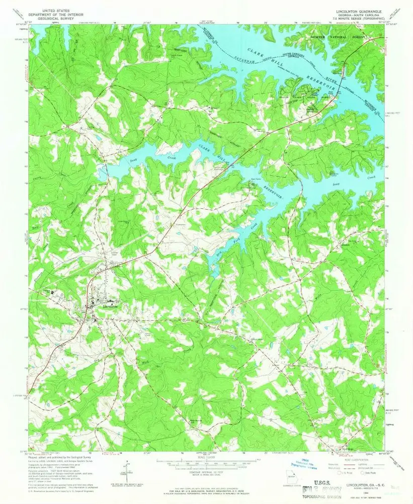
Lincolnton
1964
1:24k
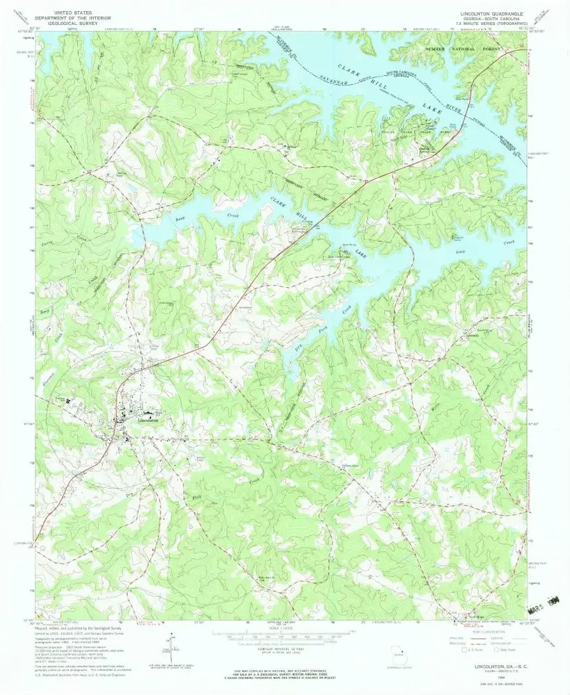
Lincolnton
1964
1:24k
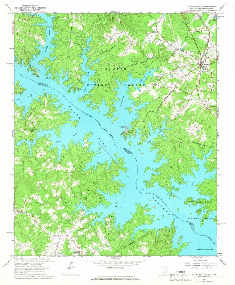
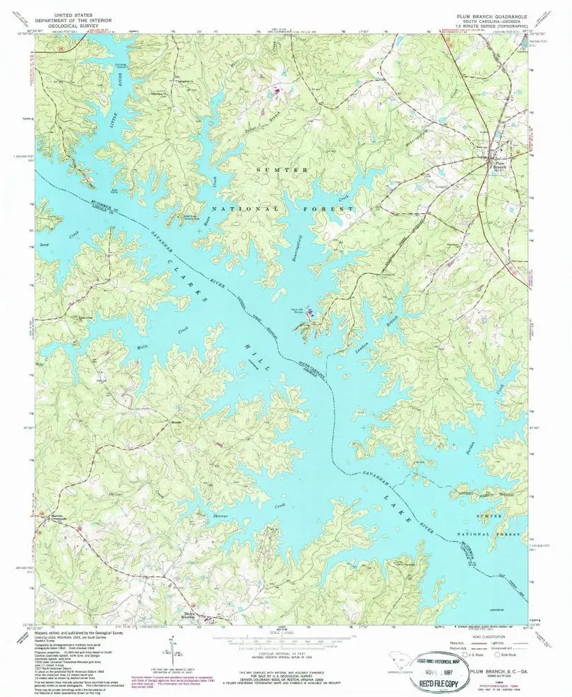
Plum Branch
1964
1:24k
Plum Branch
1964
1:24k
Metasville
1954
1:24k
Metasville
1954
1:24k
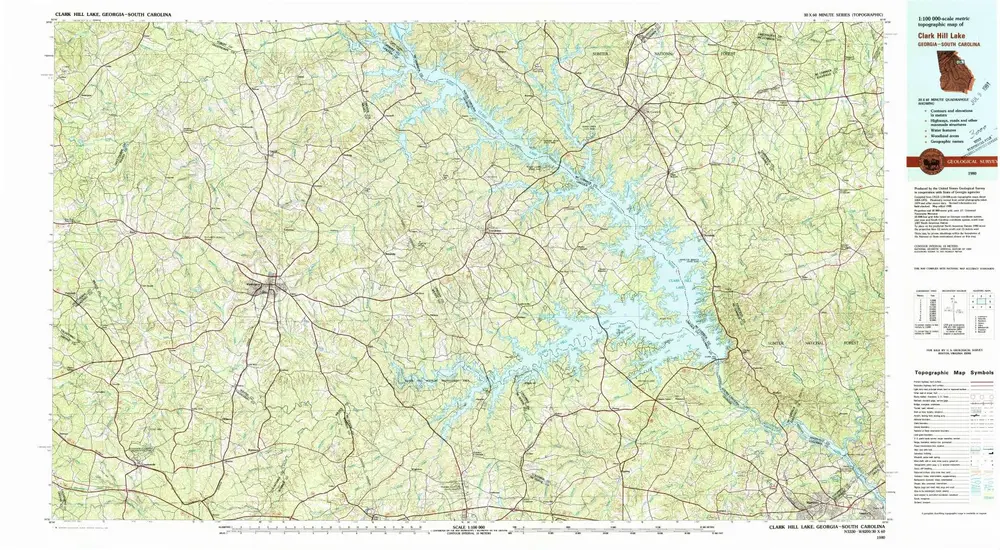
Clark Hill Lake
1980
1:100k
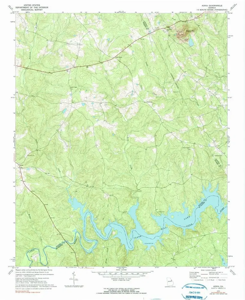
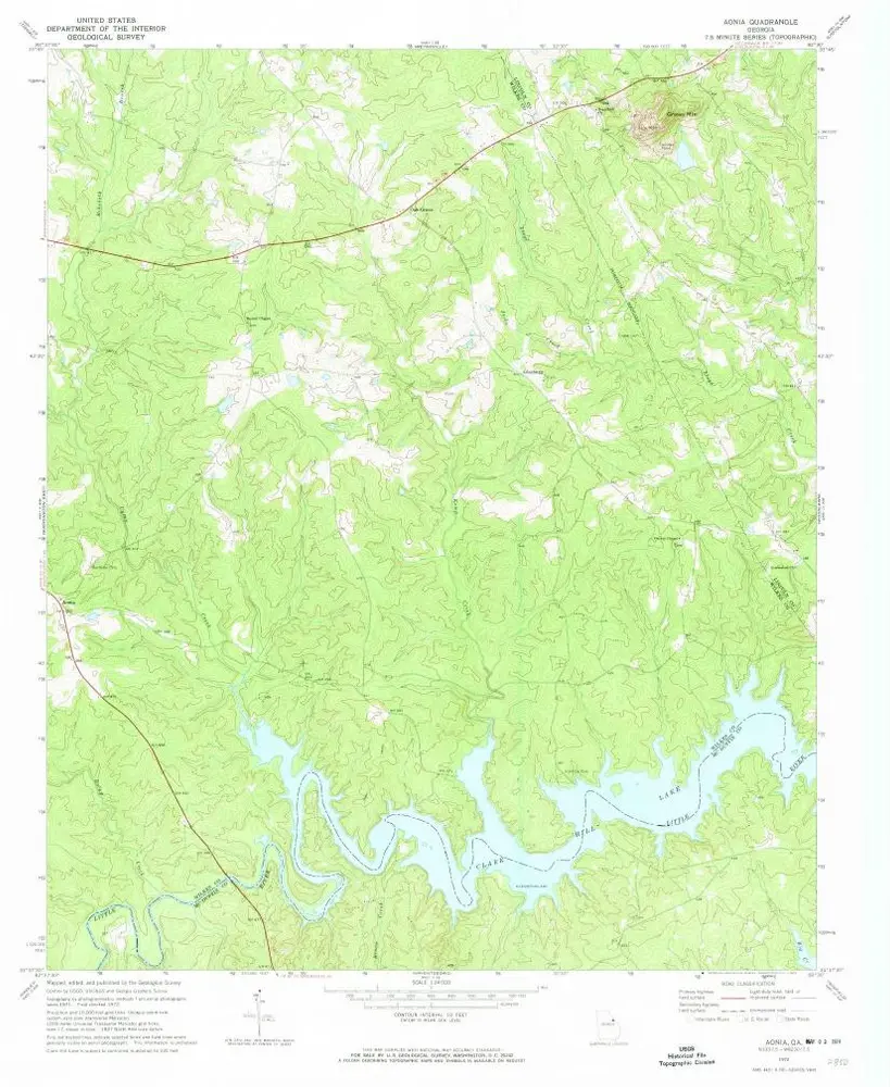
Aonia
1972
1:24k
Aonia
1972
1:24k
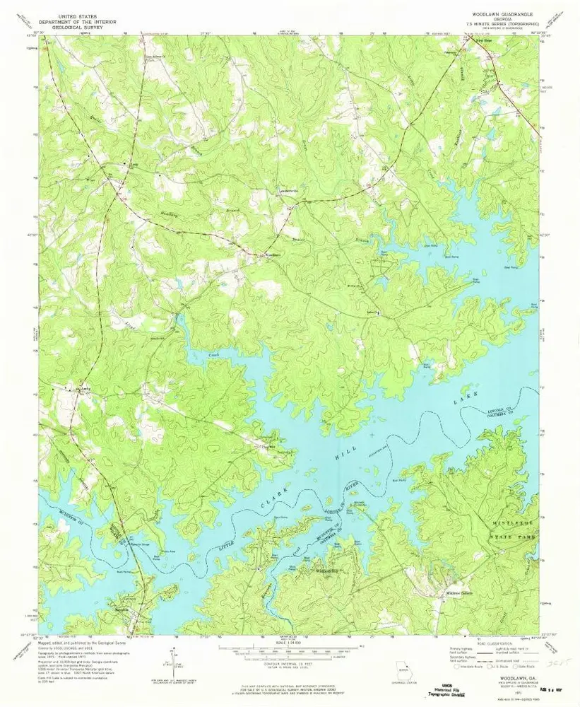
Woodlawn
1971
1:24k
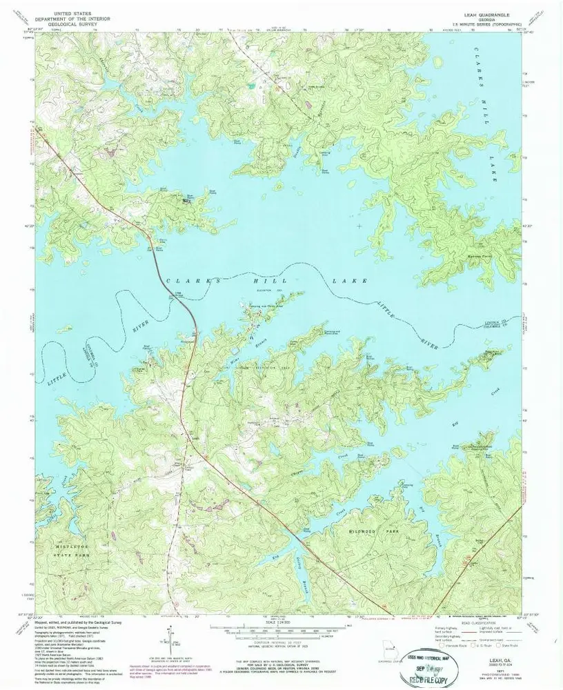
Leah
1971
1:24k
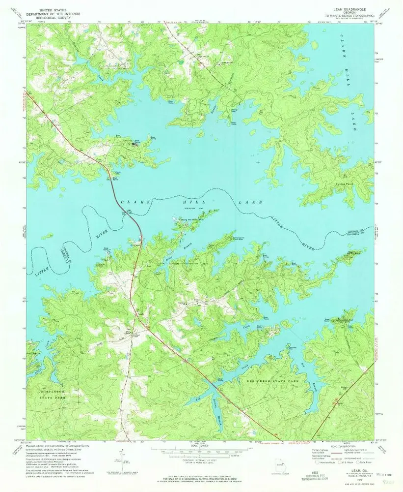
Leah
1971
1:24k
Geschichte