Katalogisierte Karte
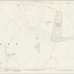
Hampshire and Isle of Wight XVI.4 (includes: Litchfield and Woodcott; St Mary Bourne; Whitchurch) - 25 Inch Map

Einrichtung:National Library of Scotland
Vollständiger Titel:Hampshire and Isle of Wight XVI.4 (includes: Litchfield and Woodcott; St Mary Bourne; Whitchurch) - 25 Inch Map
Jahr der Abbildung:1894
Veröffentlichungsdatum:1895
Herausgeber:Ordnance Survey
Maßstab der Karte:1:2 500
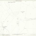
Hampshire and Isle of Wight VIII.16 (includes: Burghclere; Highclere; Litchfield and Woodcott) - 25 Inch Map
1909
Ordnance Survey
1:3k
Hampshire and Isle of Wight VIII.16 (includes: Burghclere; Highclere; Litchfield and Woodcott) - 25 Inch Map
1894
Ordnance Survey
1:3k
Hampshire and Isle of Wight XVI.4 (includes: Litchfield and Woodcott; St Mary Bourne; Whitchurch) - 25 Inch Map
1909
Ordnance Survey
1:3k
Hampshire and Isle of Wight XVI.4 (includes: Litchfield and Woodcott; St Mary Bourne; Whitchurch) - 25 Inch Map
1894
Ordnance Survey
1:3k
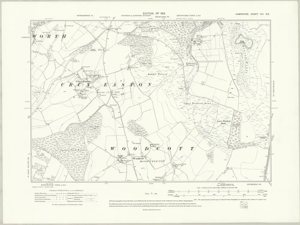
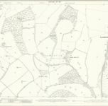
Hampshire & Isle of Wight VIII.SE - OS Six-Inch Map
1909
Ordnance Survey
1:11k
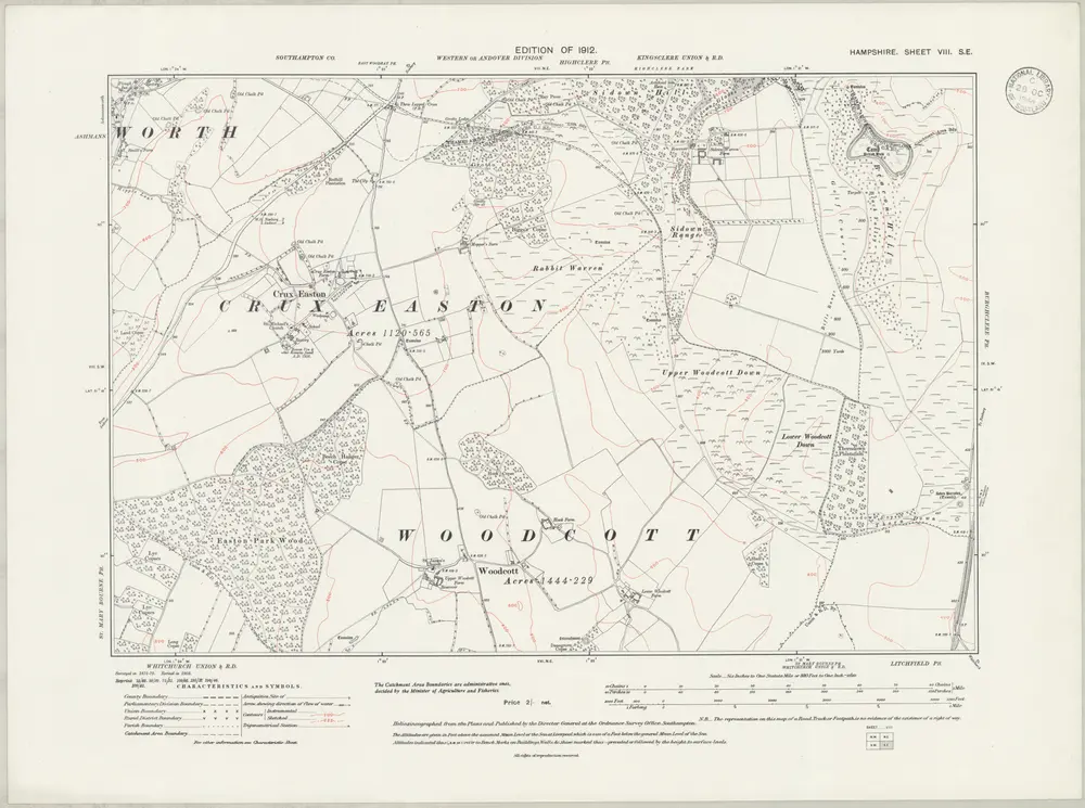
Hampshire & Isle of Wight VIII.SE - OS Six-Inch Map
1909
Ordnance Survey
1:11k
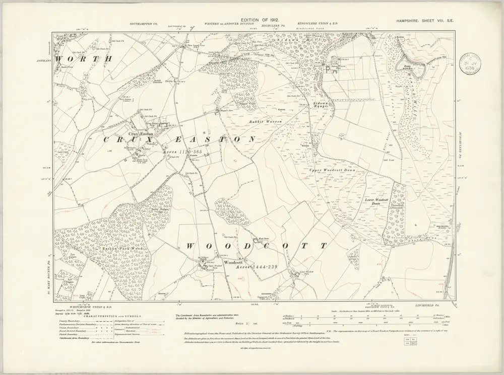
Hampshire & Isle of Wight VIII.SE - OS Six-Inch Map
1909
Ordnance Survey
1:11k
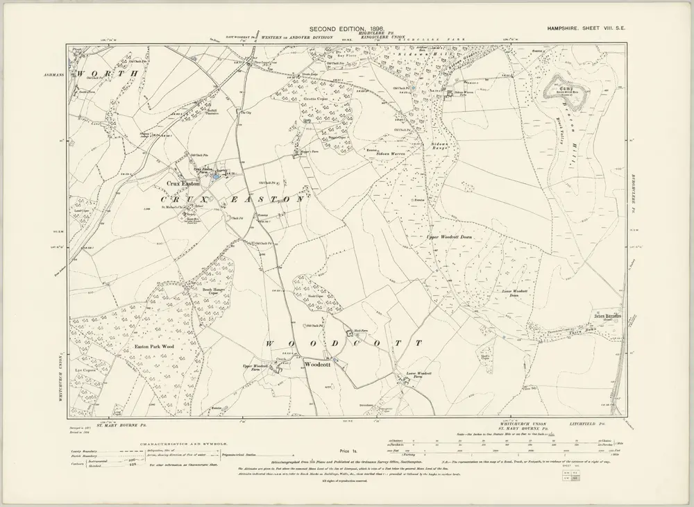
Hampshire & Isle of Wight VIII.SE - OS Six-Inch Map
1894
Ordnance Survey
1:11k
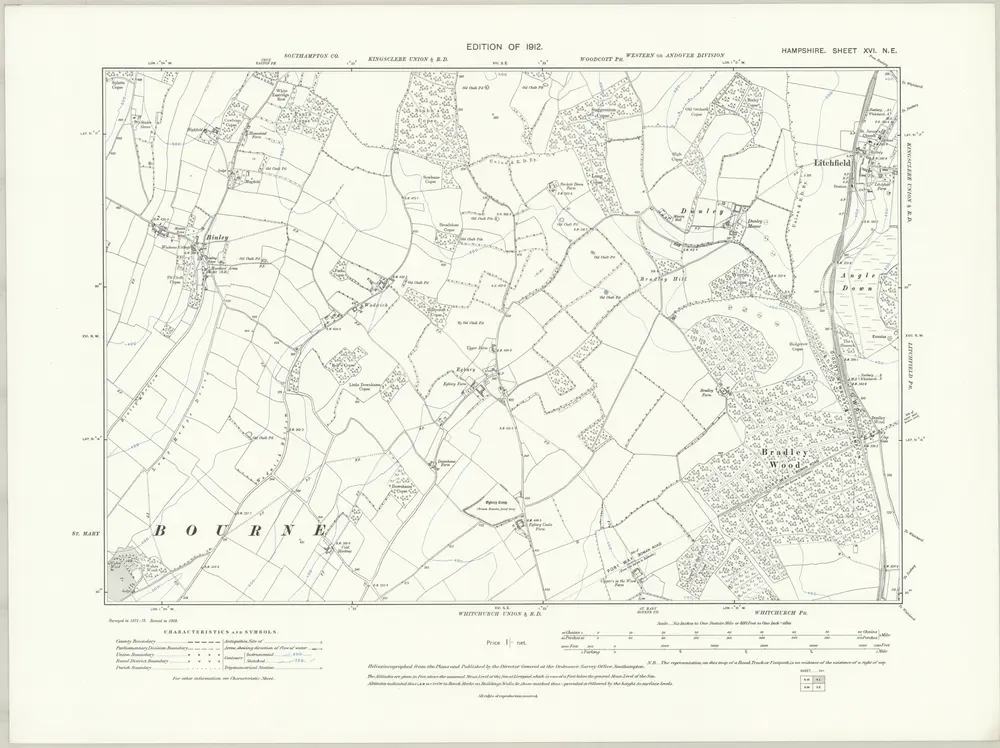
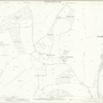
Hampshire & Isle of Wight XVI.NE - OS Six-Inch Map
1909
Ordnance Survey
1:11k
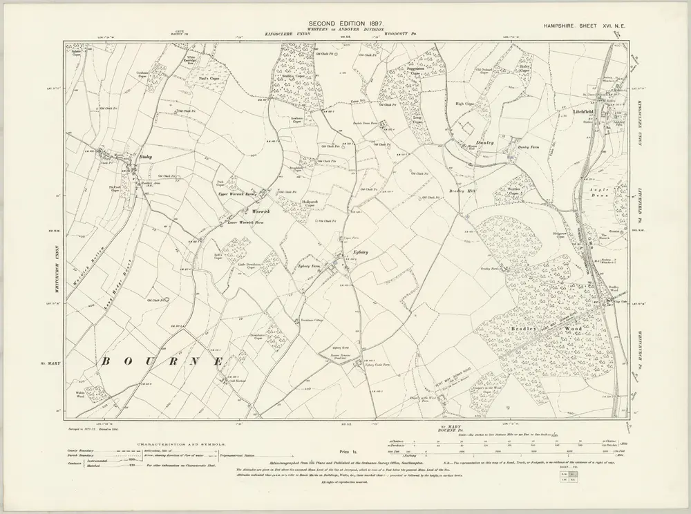
Hampshire & Isle of Wight XVI.NE - OS Six-Inch Map
1894
Ordnance Survey
1:11k