Gecatalogiseerde kaart
Palacios SE

Instelling:United States Geological Survey
Volledige titel:Palacios SE
Jaar illustratie:1952
Pubdatum:1991
Schaal kaart:1:24 000
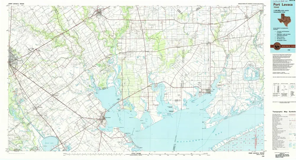
Port Lavaca
1984
1:100k
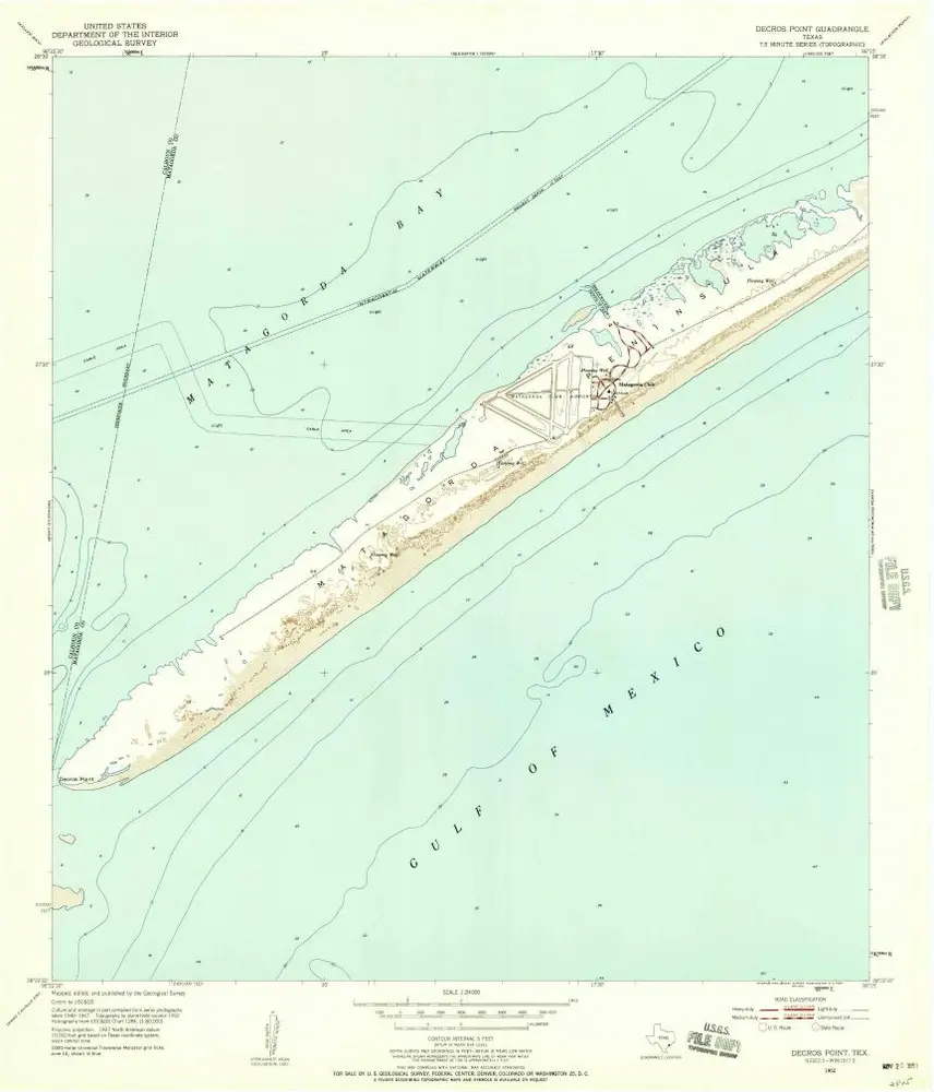
Decros Point
1952
1:24k
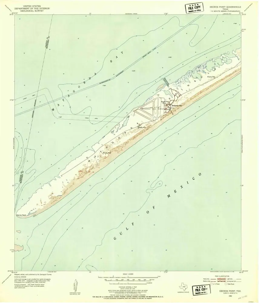
Decros Point
1952
1:24k
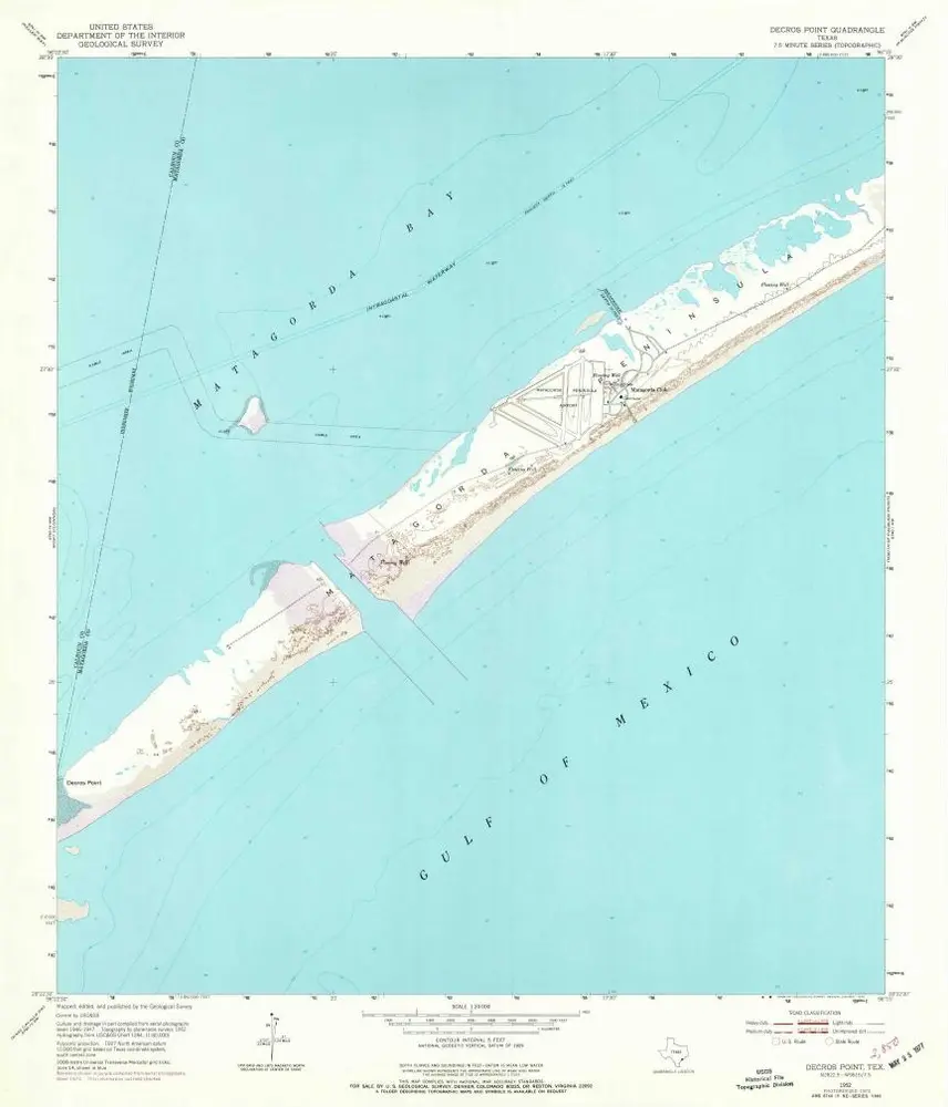
Decros Point
1952
1:24k
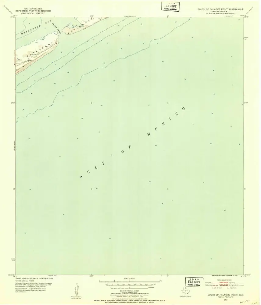
South of Palacios Point
1952
1:24k
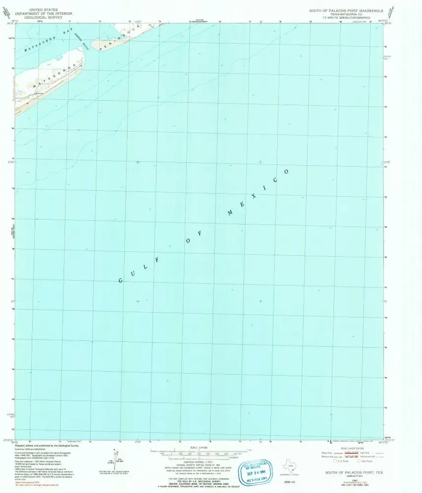
South of Palacios Point
1952
1:24k
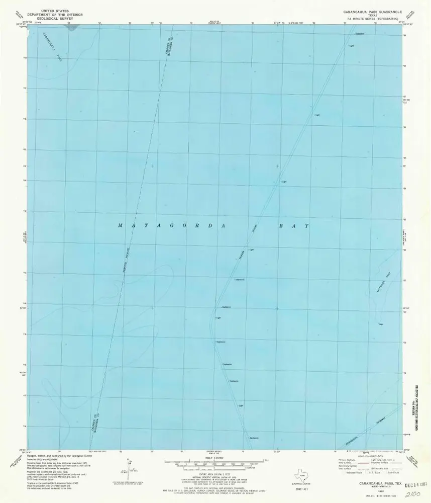
Carancahua Pass
1980
1:24k
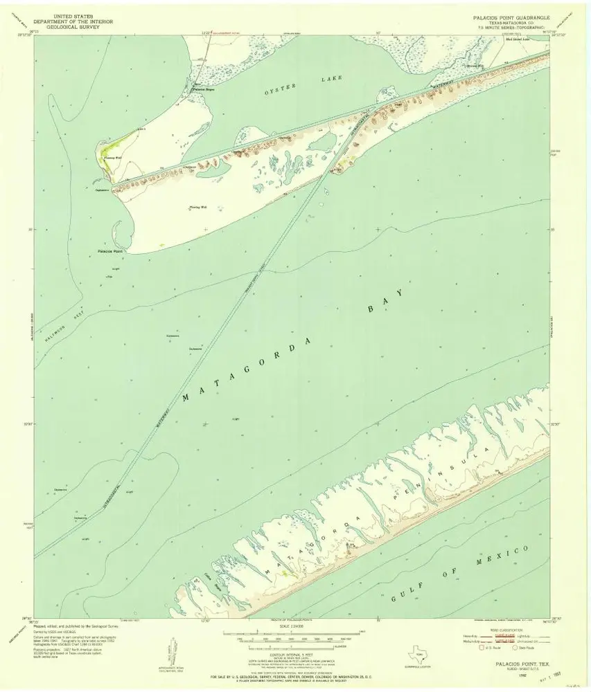
Palacios Point
1952
1:24k
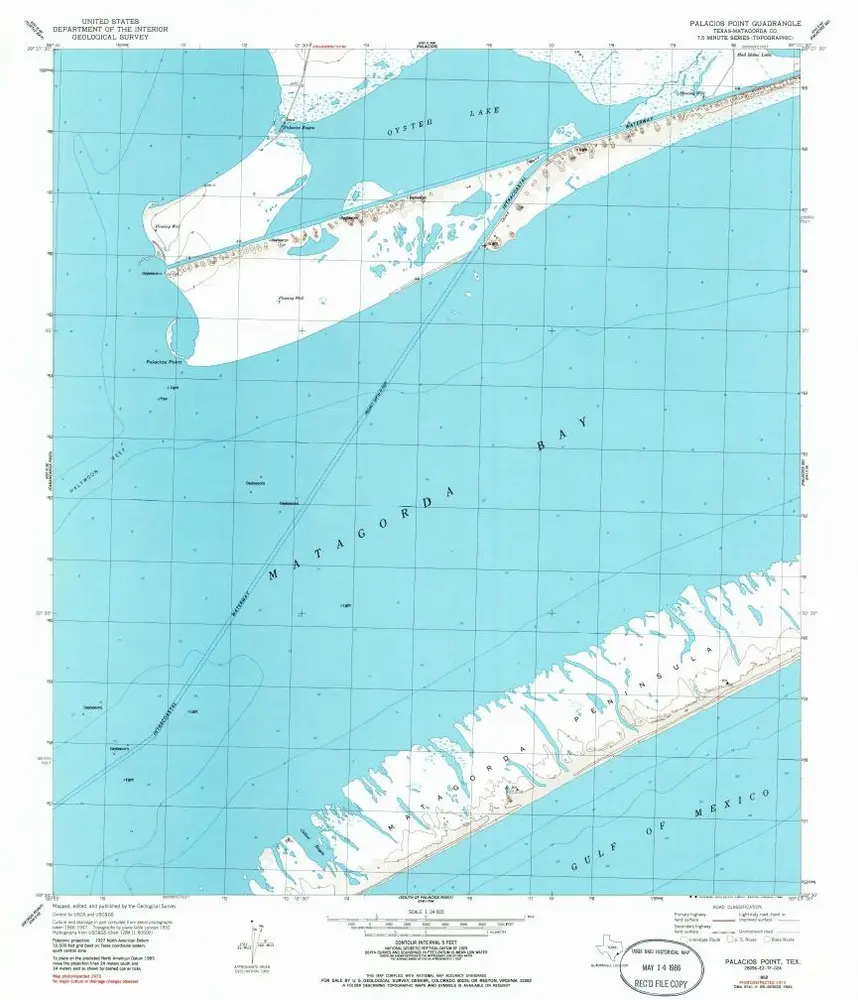
Palacios Point
1952
1:24k
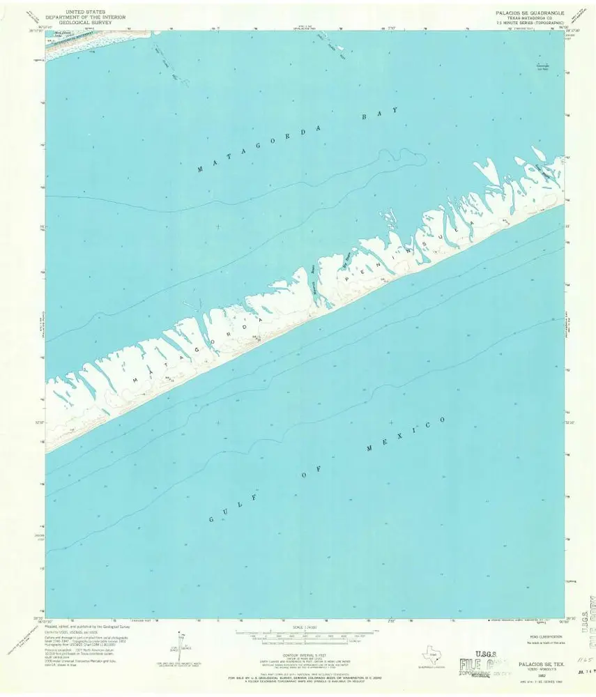
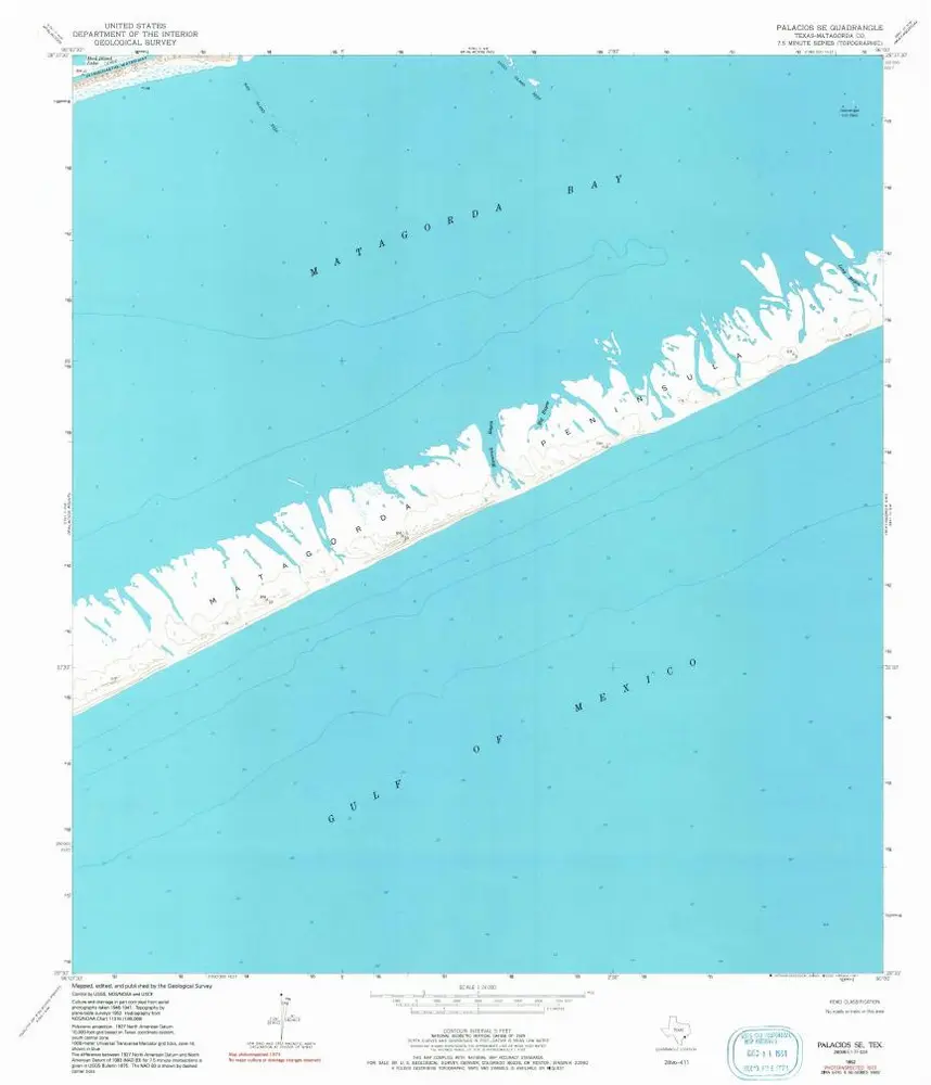
Palacios SE
1952
1:24k
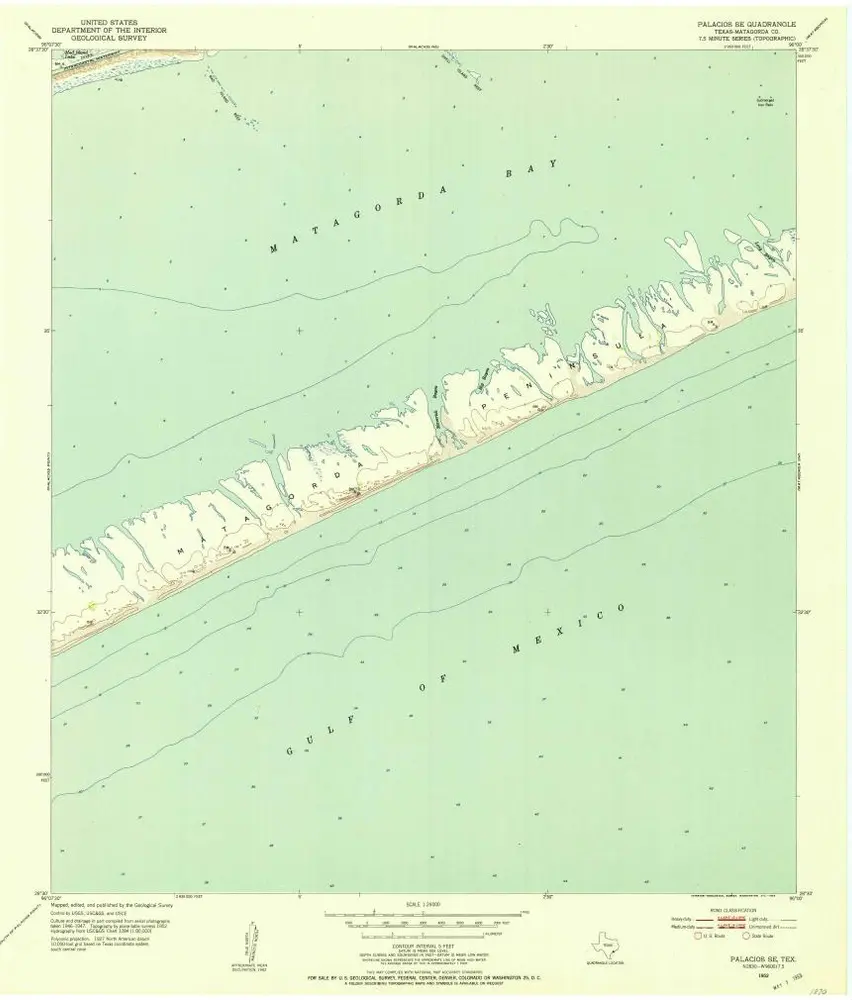
Palacios SE
1952
1:24k
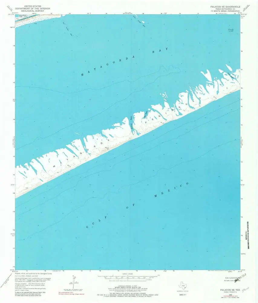
Palacios SE
1952
1:24k
Palacios SE
1952
1:24k
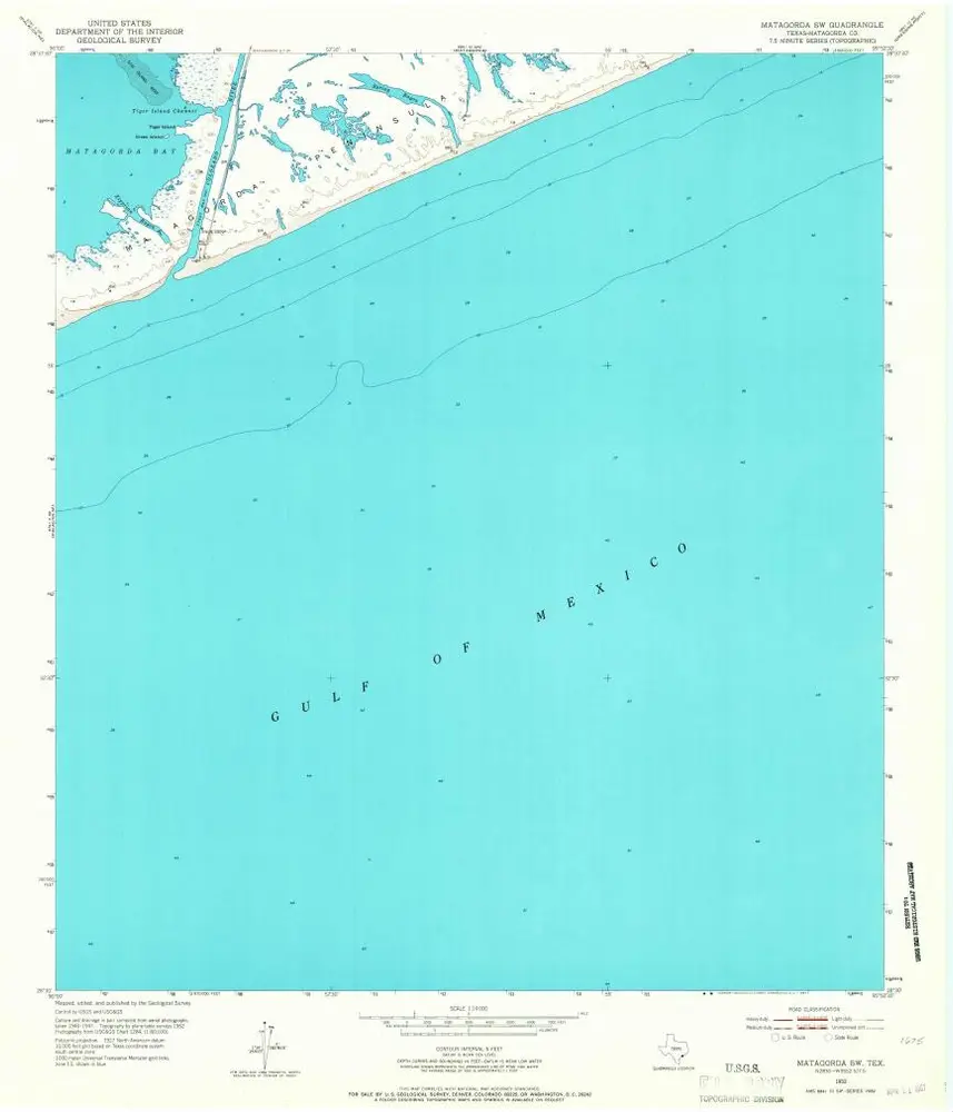
Matagorda SW
1952
1:24k
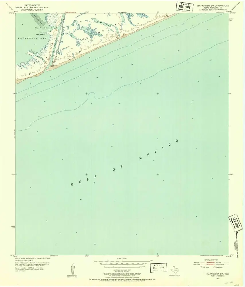
Matagorda SW
1952
1:24k