项目
社区
新闻
我的应用程序
我的地图
Carte cataloguée
Shirley
在外部网站上查看
View digitized
Institution:
United States Geological Survey
Titre complet:
Shirley
Année de l'image:
1960
Date de publication:
1961
Échelle de la carte:
1:24 000
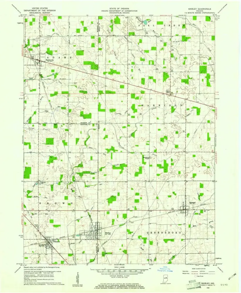
Shirley
1960
1:24k
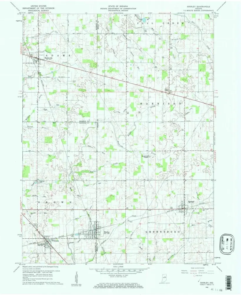
Shirley
1960
1:24k
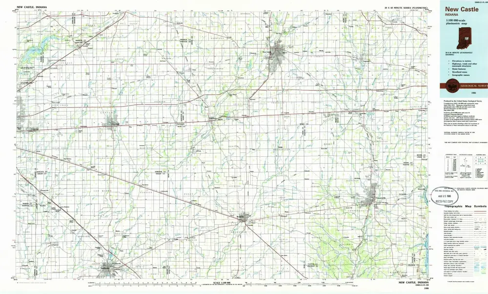
New Castle
1986
1:100k
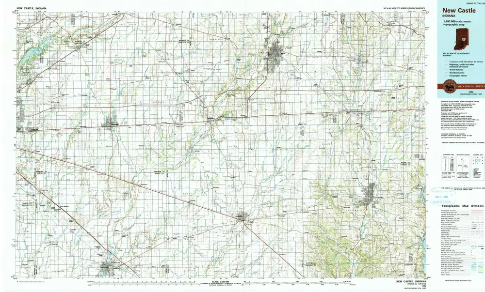
New Castle
1986
1:100k
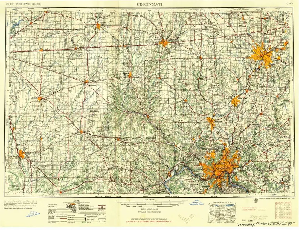
Cincinnati
1957
1:250k
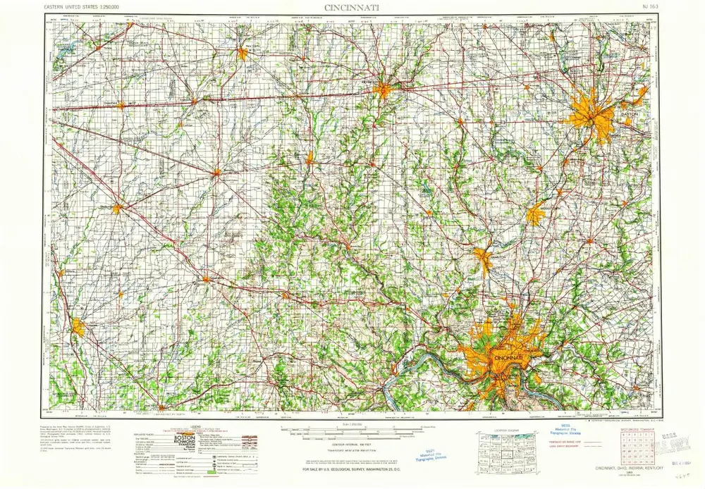
Cincinnati
1953
1:250k
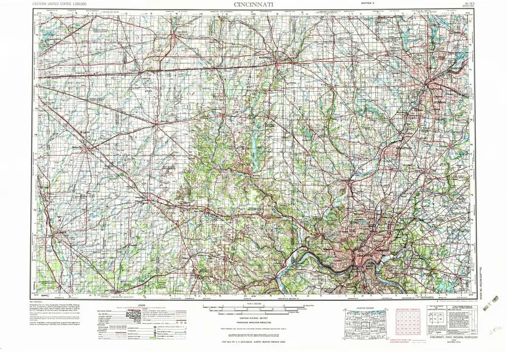
Cincinnati
1953
1:250k
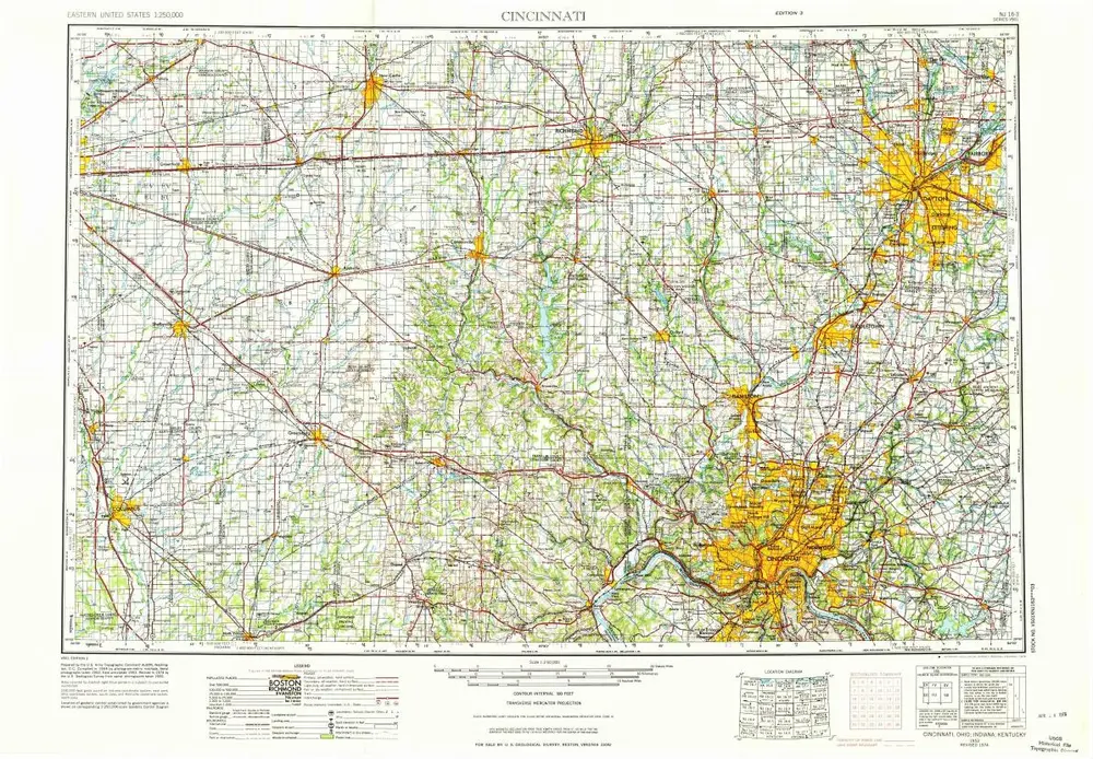
Cincinnati
1953
1:250k
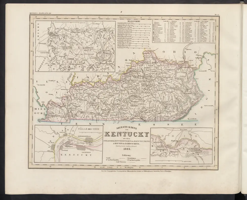
Neueste Karte von Kentucky mit seinen Strassen, Entfernungen der Hauptpunkte & Routen für Dampfschiffe
1860
Meyer, J.
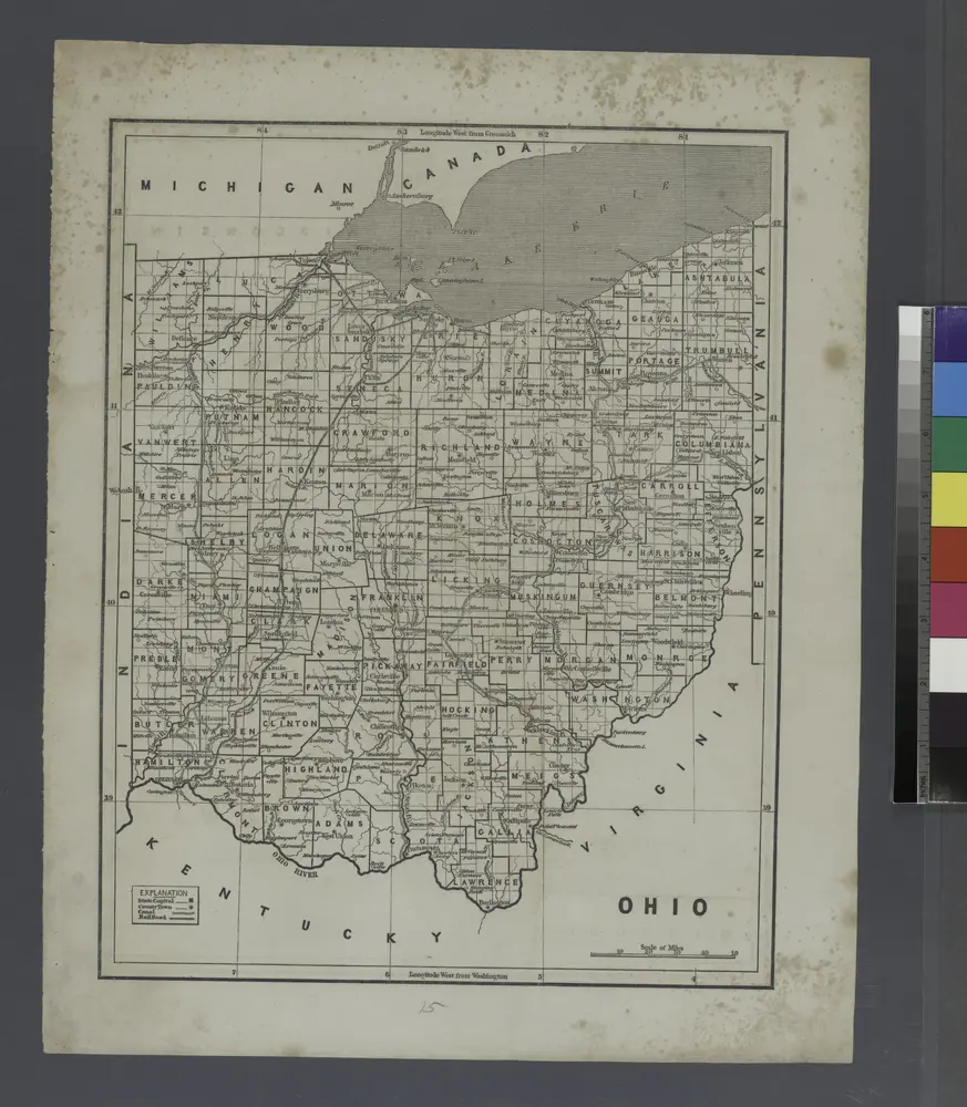
Ohio.
1842
L'histoire