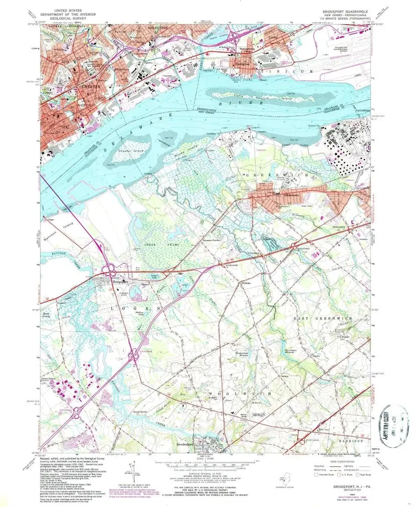
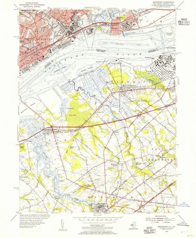
Skatalogowana mapa
Bridgeport

Instytucja:United States Geological Survey
Pełny tytuł:Bridgeport
Rok ilustracji:1953
Data publikacji:1955
Skala mapy:1:24 000
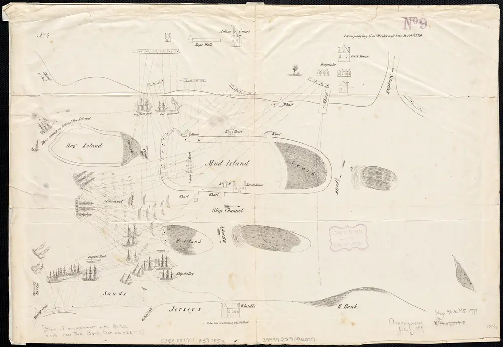
[Plan of engagement with British ships near Red Bank, New Jersey, October 22 and 23, 1777]
1777
Hazlewood, J.
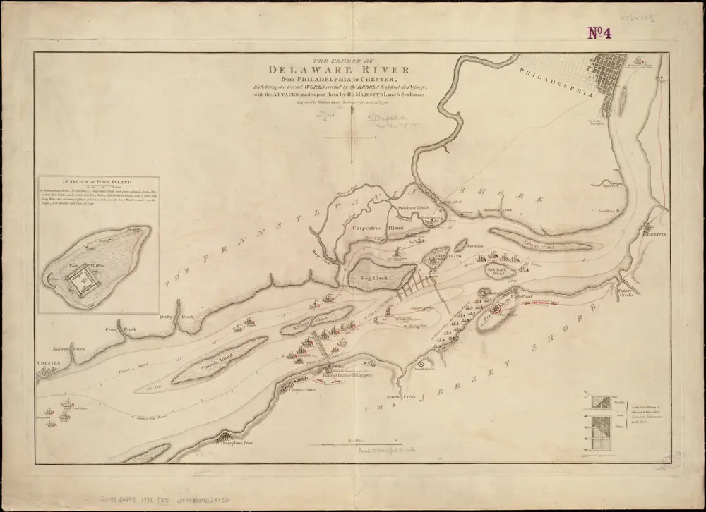
The Course of the Delaware River from Philadelphia to Chester, exhibiting the several works erected by the rebels to defend its passage, with the attacks made upon them by His Majesty's land & sea forces
1778
Faden, William
1:33k
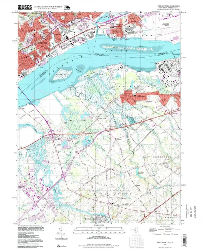
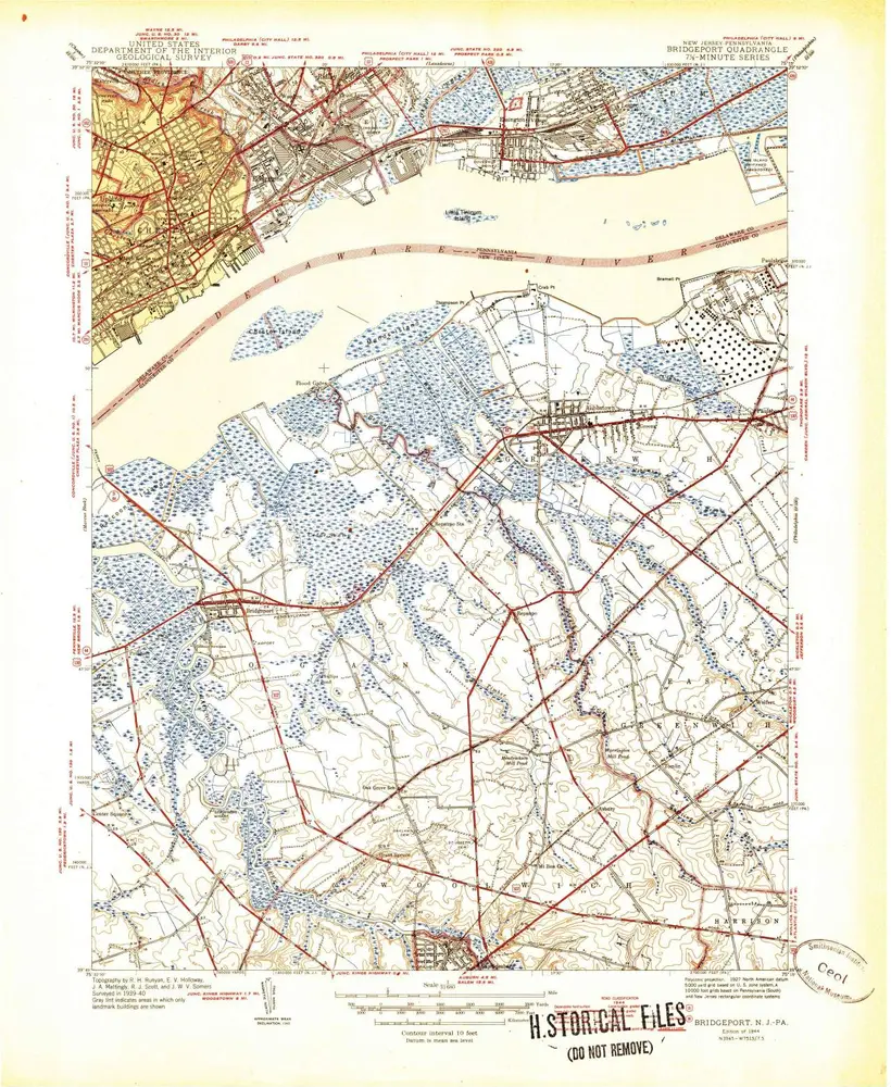
Bridgeport
1995
1:24k
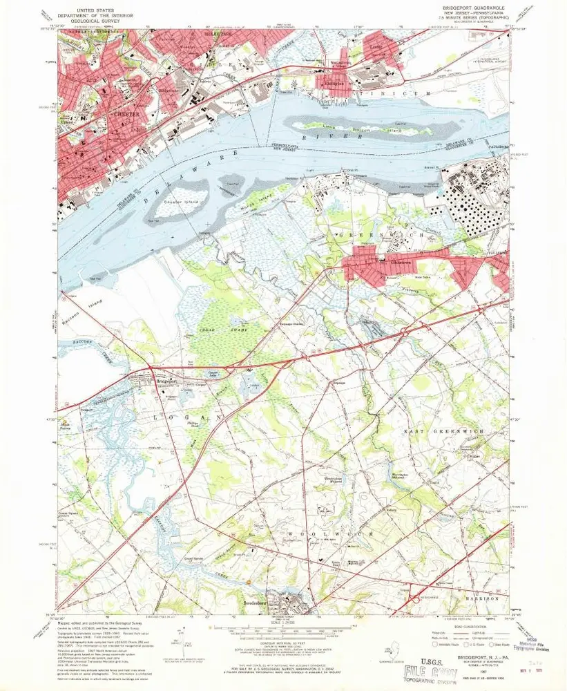
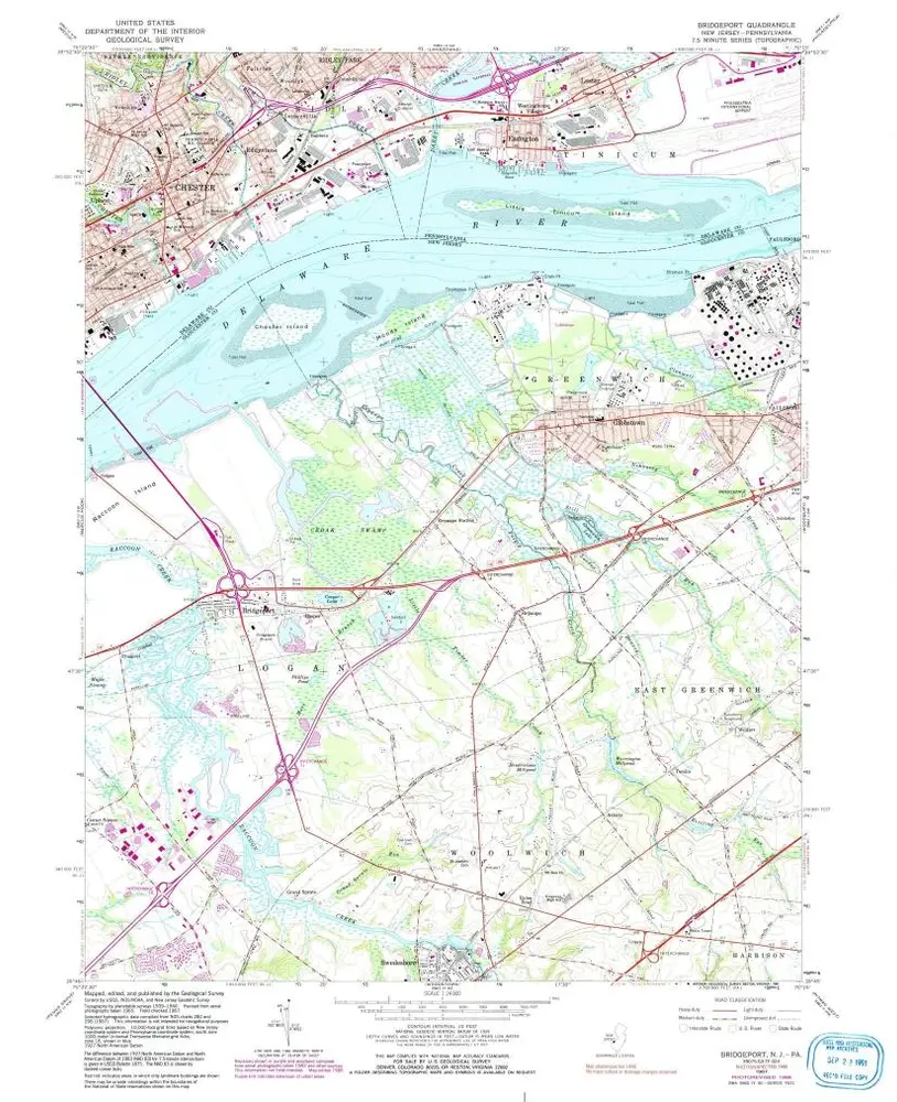
Bridgeport
1967
1:24k
Bridgeport
1967
1:24k
Bridgeport
1967
1:24k
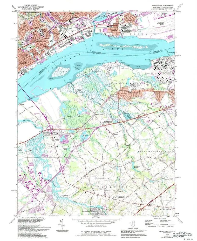
Bridgeport
1967
1:24k
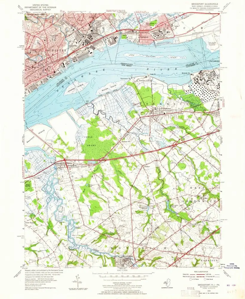
Bridgeport
1953
1:24k
Bridgeport
1953
1:24k
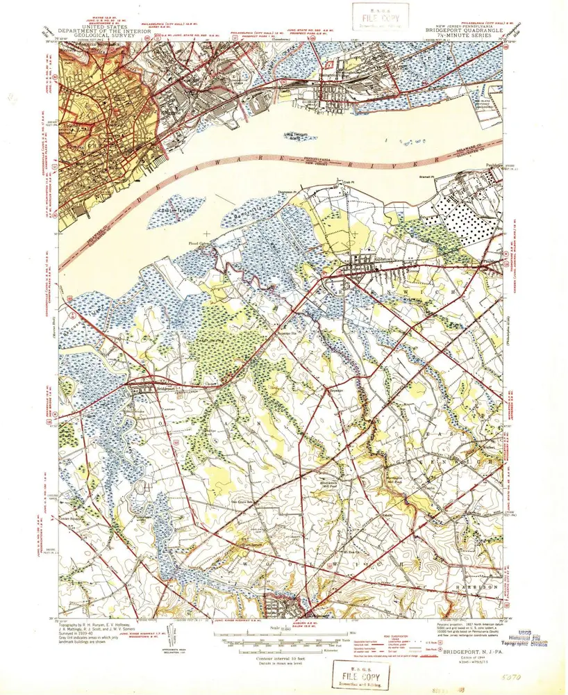
Bridgeport
1944
1:32k
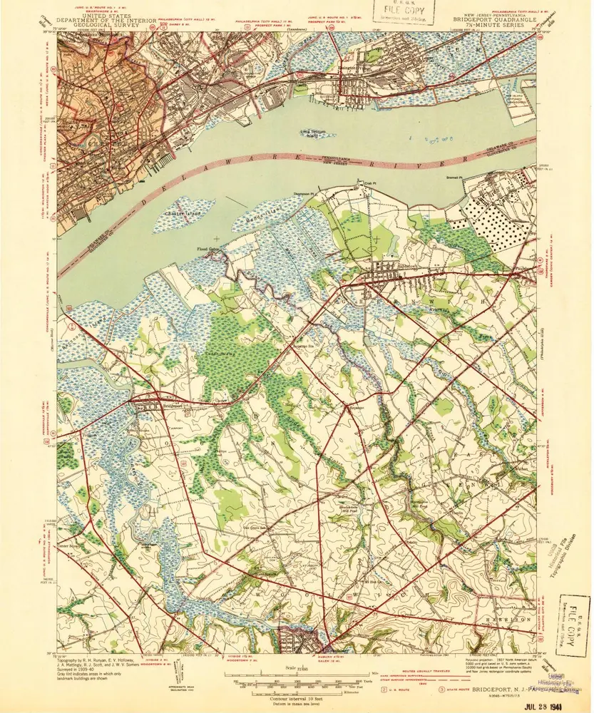
Bridgeport
1944
1:32k
Bridgeport
1940
1:32k