项目
社区
新闻
我的应用程序
我的地图
Cataloged map
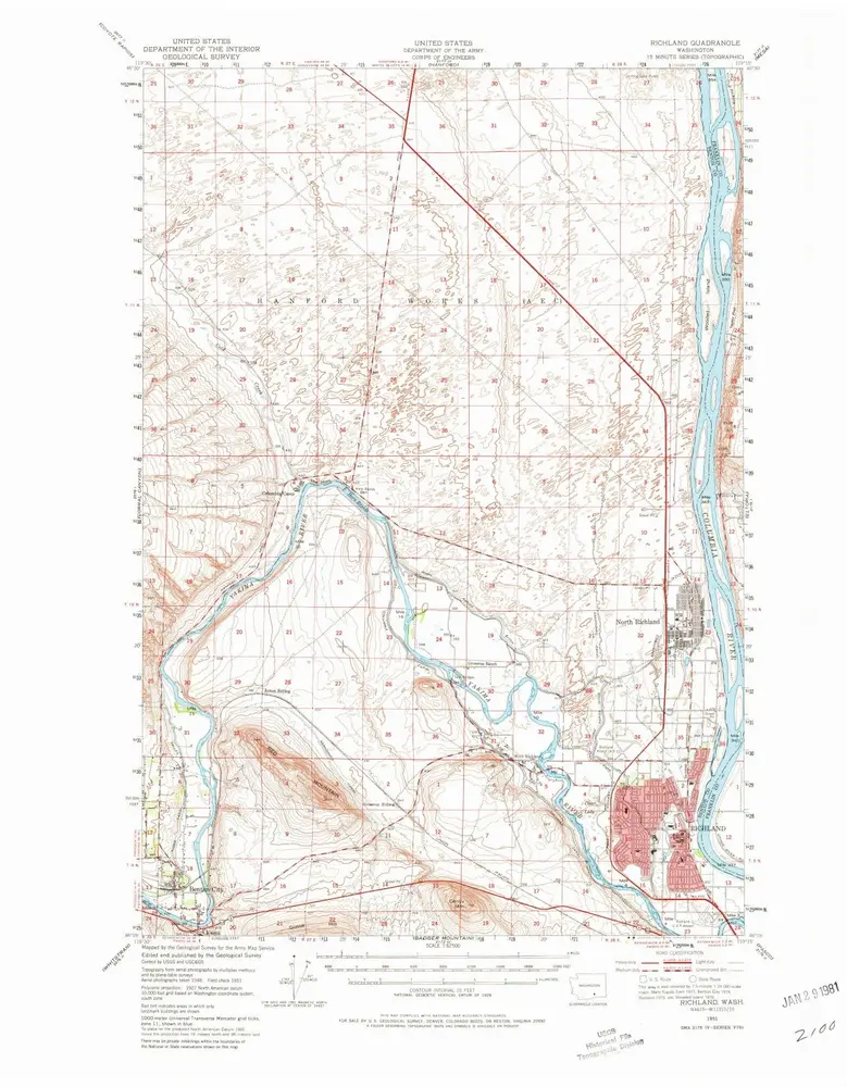
Richland
在外部网站上查看
查看數位化
Institution:
United States Geological Survey
Full title:
Richland
Depicted:
1951
Pubdate:
1980
Map scale:
1:62 500
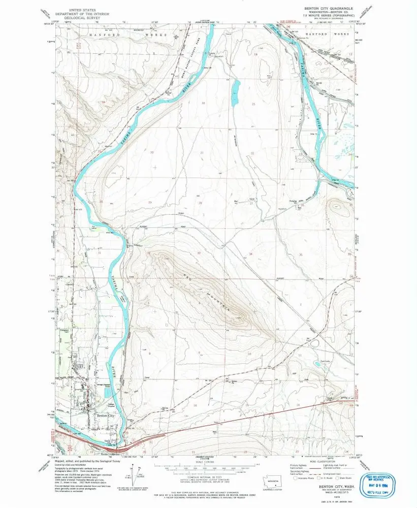
Benton City
1974
1:24k
Richland
1951
1:63k
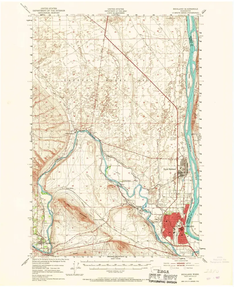
Richland
1951
1:63k
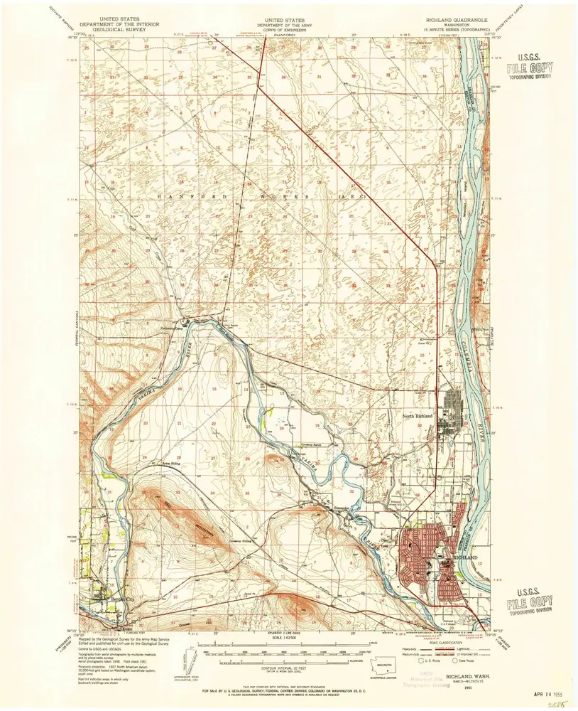
Richland
1951
1:63k
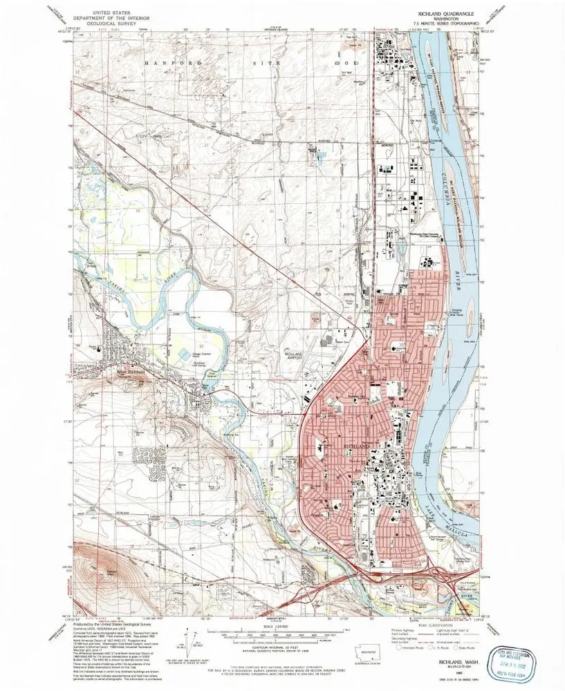
Richland
1992
1:24k
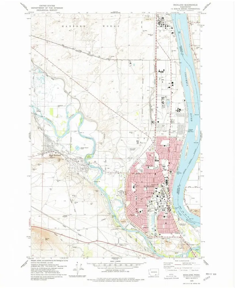
Richland
1978
1:24k
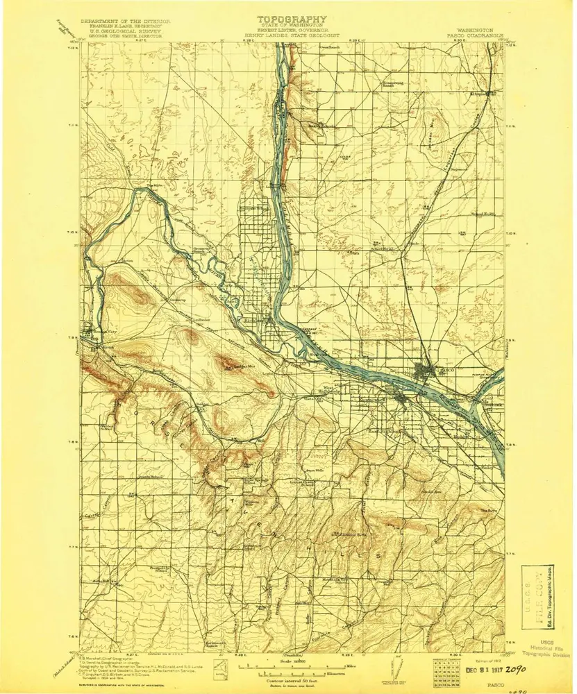
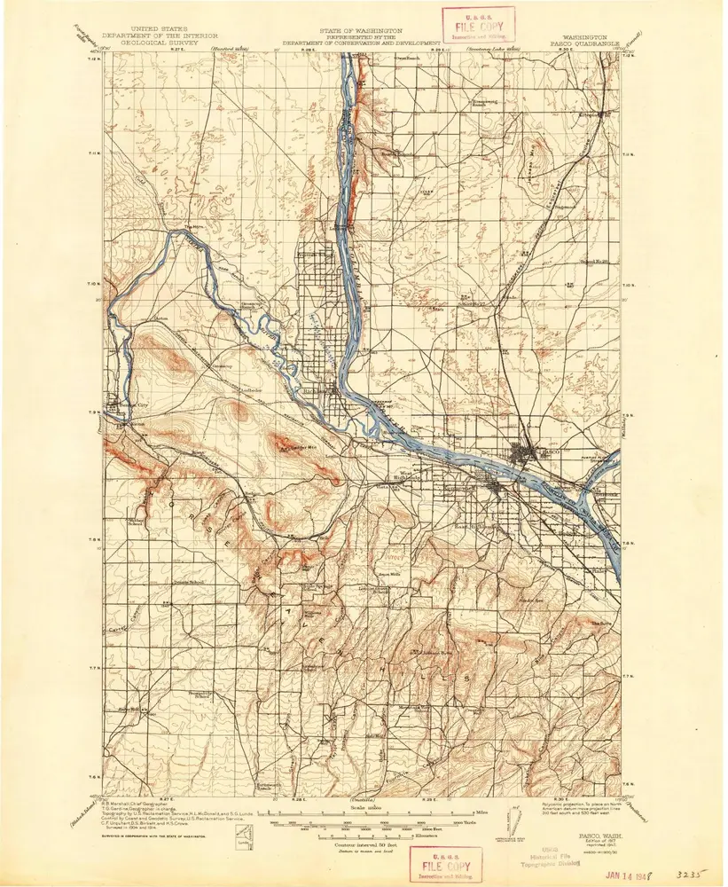
Pasco
1917
1:125k
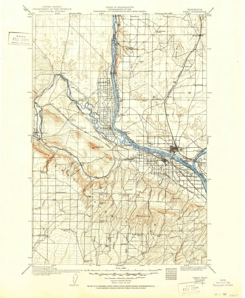
Pasco
1917
1:125k
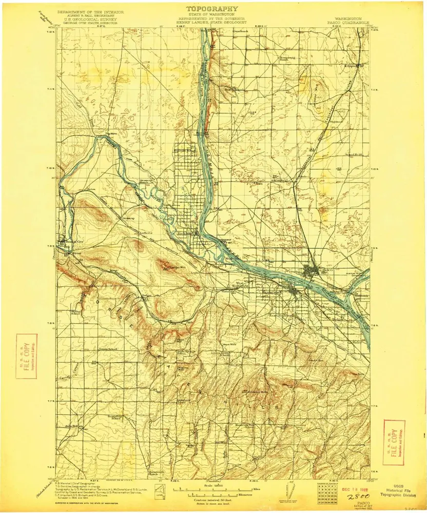
Pasco
1917
1:125k
Pasco
1917
1:125k
History