3D

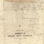
Sketch Map of the Warrego and Gregory South Districts shewing the surveyed and unsurveyed runs
Cadastral map titled Sketch Map of the Warrego and Gregory South Districts shewing the surveyed and unsurveyed runs shows boundaries and names of original pastoral runs leased from the Government as well as towns, ranges and rivers
Historical Maps QLD1882
Department of Natural Resources Mines and Energy

