Katalogisierte Karte
Ishpeming

Einrichtung:United States Geological Survey
Vollständiger Titel:Ishpeming
Jahr der Abbildung:1952
Veröffentlichungsdatum:1954
Maßstab der Karte:1:62 500
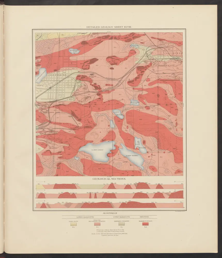
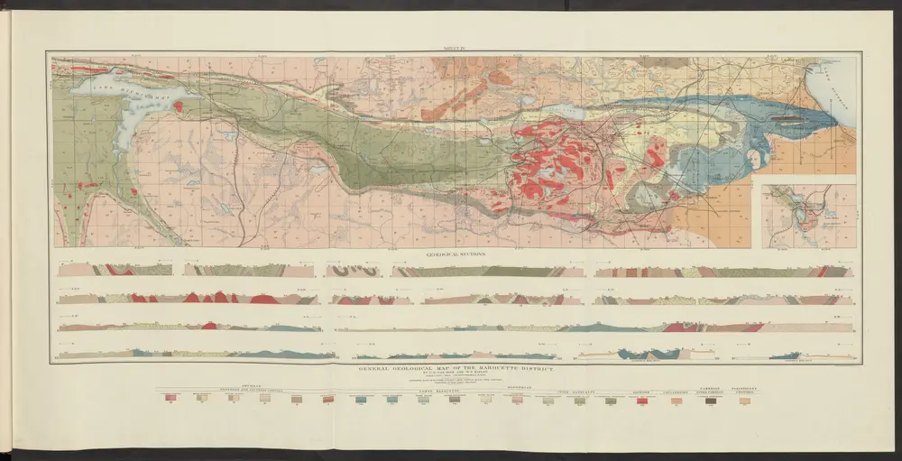
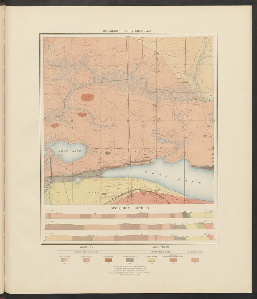
Atlas to accompany monograph XXVIII on the Marquette iron-bearing district of Michigan
1896
Van Hise, Charles Richard
1:630k
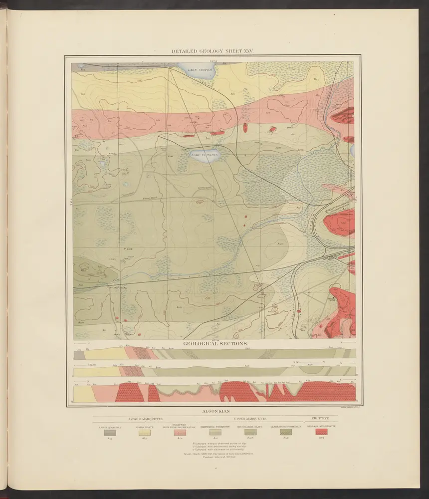
Atlas to accompany monograph XXVIII on the Marquette iron-bearing district of Michigan
1896
Van Hise, Charles Richard
1:630k
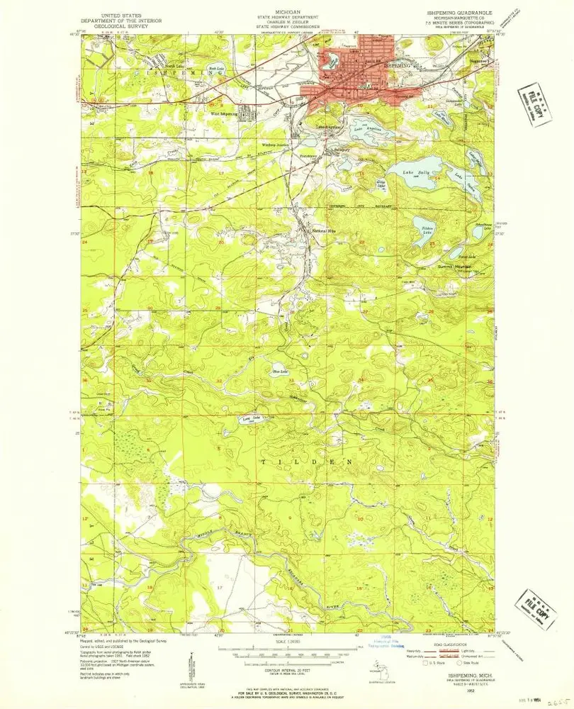
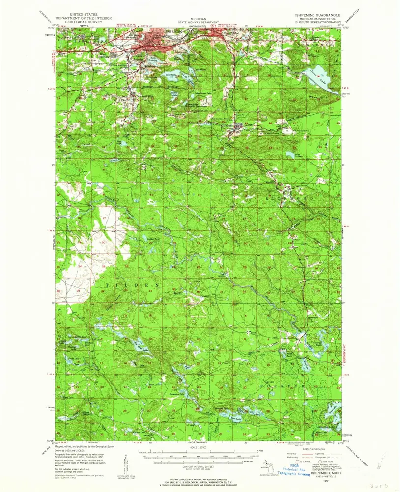
Ishpeming
1952
1:24k
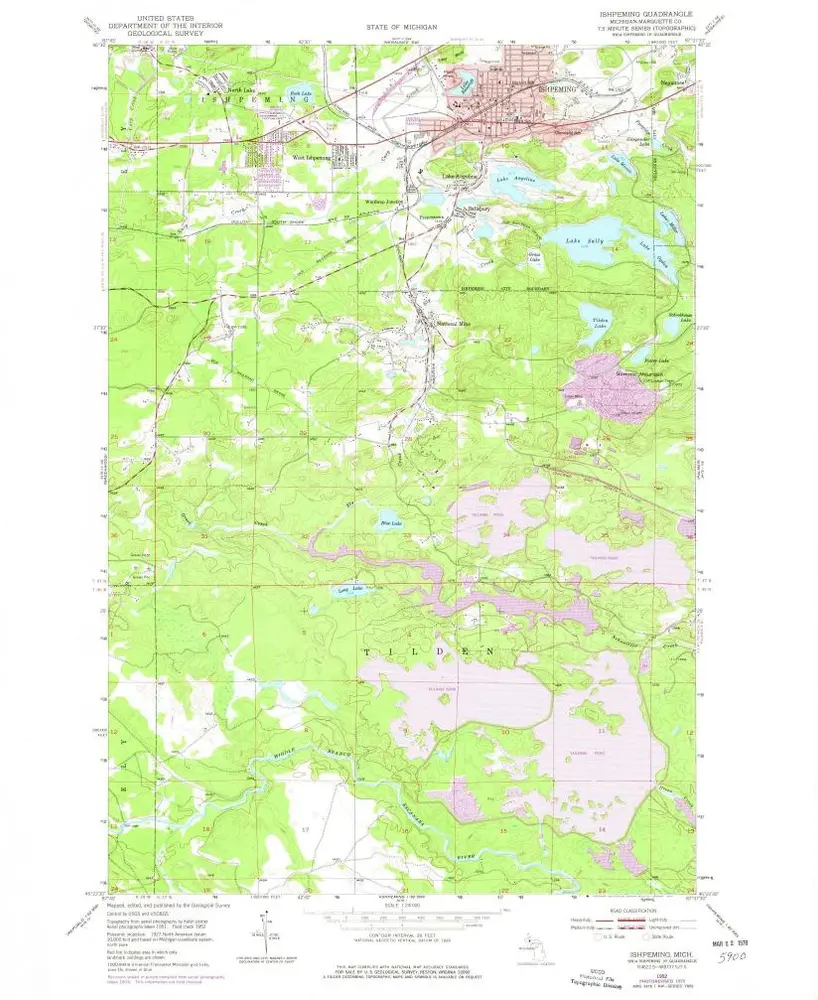
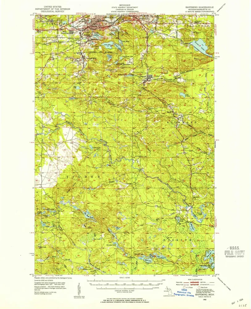
Ishpeming
1952
1:24k
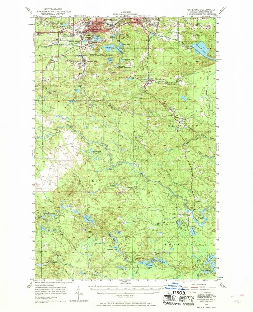
Ishpeming
1952
1:63k
Ishpeming
1952
1:63k
Ishpeming
1952
1:63k
Atlas to accompany monograph XXVIII on the Marquette iron-bearing district of Michigan
1896
Van Hise, Charles Richard
1:630k
Atlas to accompany monograph XXVIII on the Marquette iron-bearing district of Michigan
1896
Van Hise, Charles Richard
1:630k
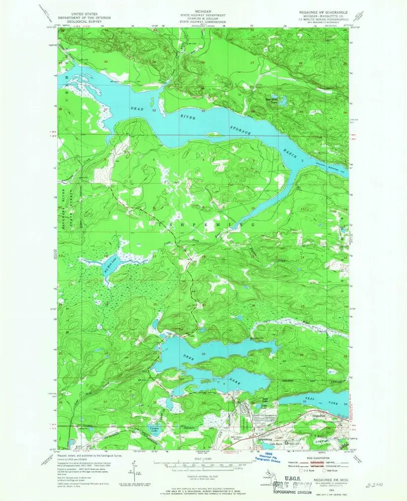
Negaunee SW
1954
1:24k
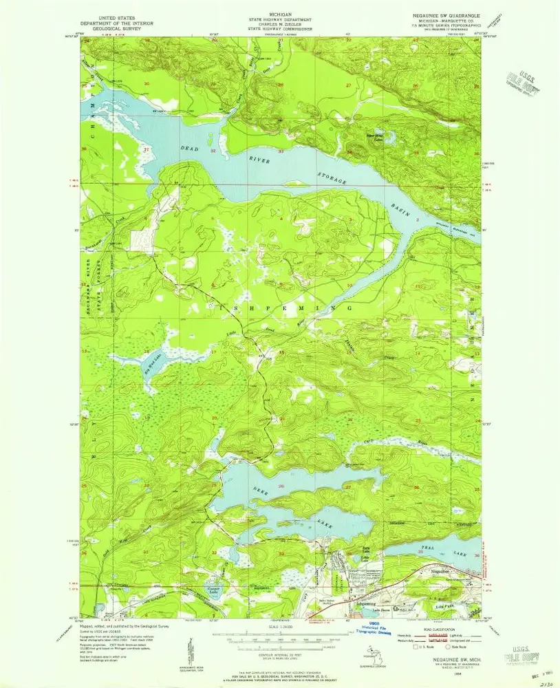
Negaunee SW
1954
1:24k