Projeto
Comunidade
Notícias
Meu aplicativo
Os meus mapas
Katalogisierte Karte
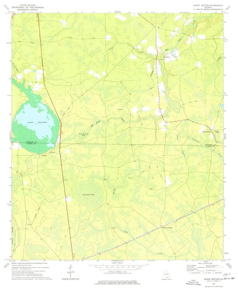
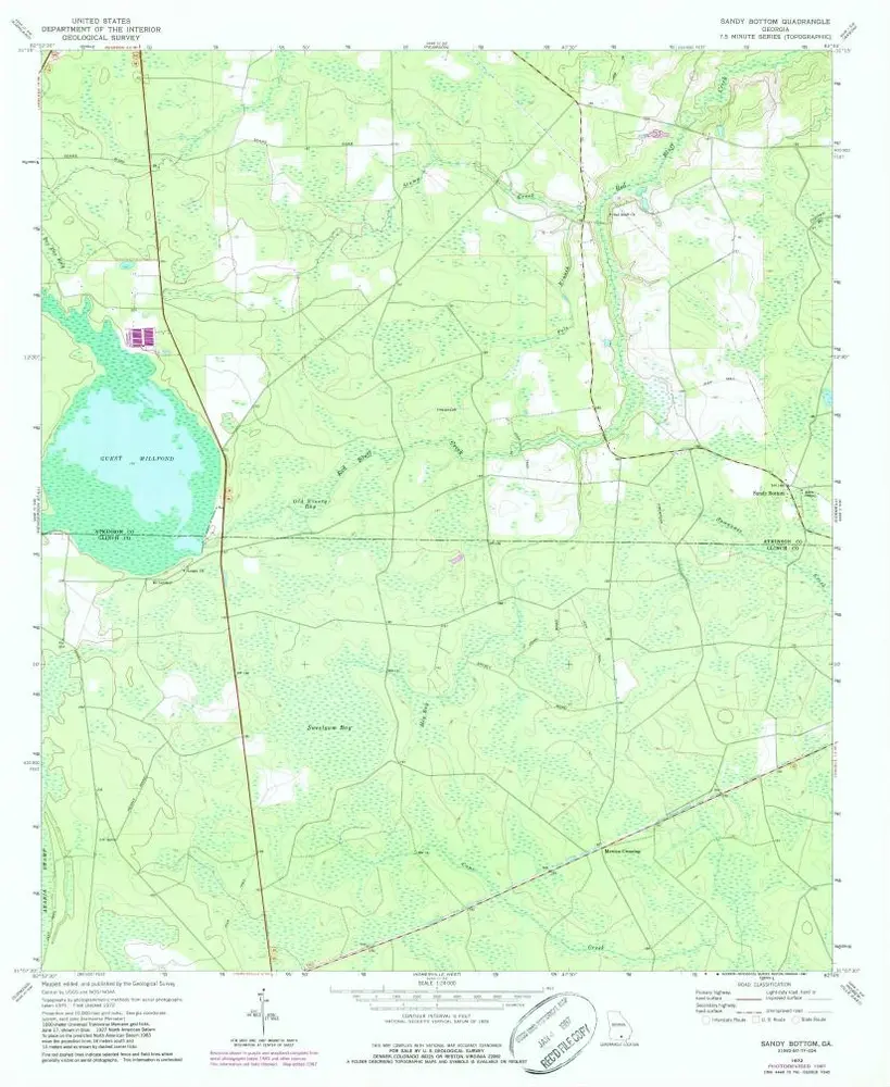
Sandy Bottom
Ver no sítio Web externo
Ver digitalizado
Einrichtung:
United States Geological Survey
Vollständiger Titel:
Sandy Bottom
Jahr der Abbildung:
1972
Veröffentlichungsdatum:
1977
Maßstab der Karte:
1:24 000
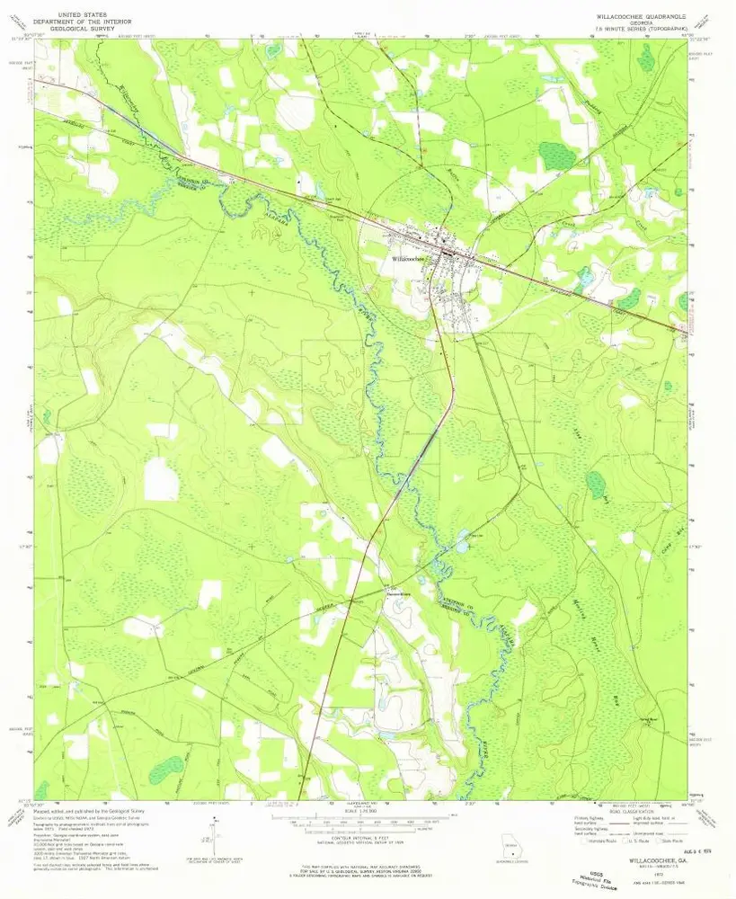
Willacoochee
1972
1:24k
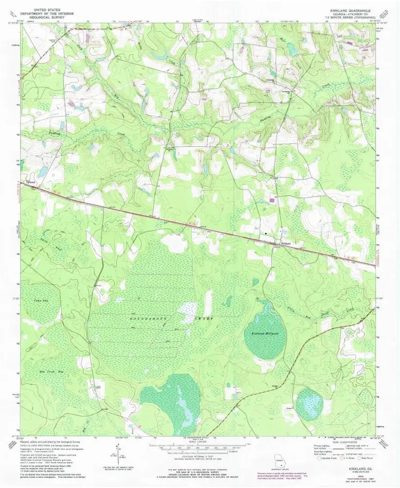
Kirkland
1972
1:24k
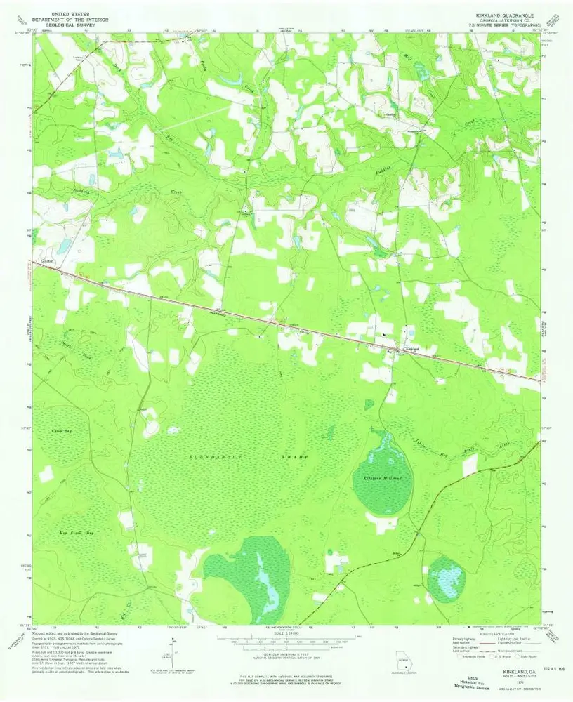
Kirkland
1972
1:24k
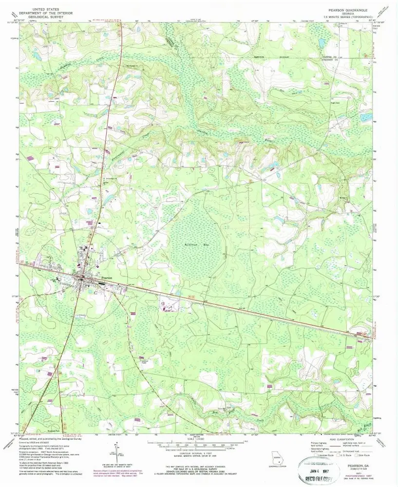
Pearson
1971
1:24k
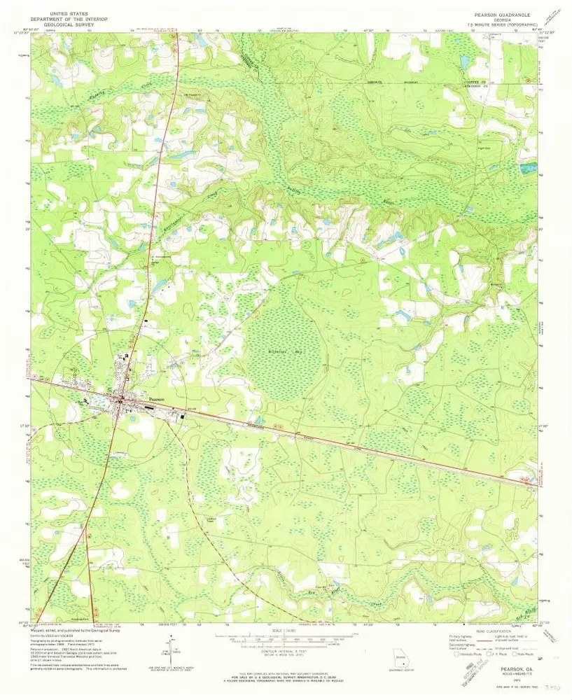
Pearson
1971
1:24k
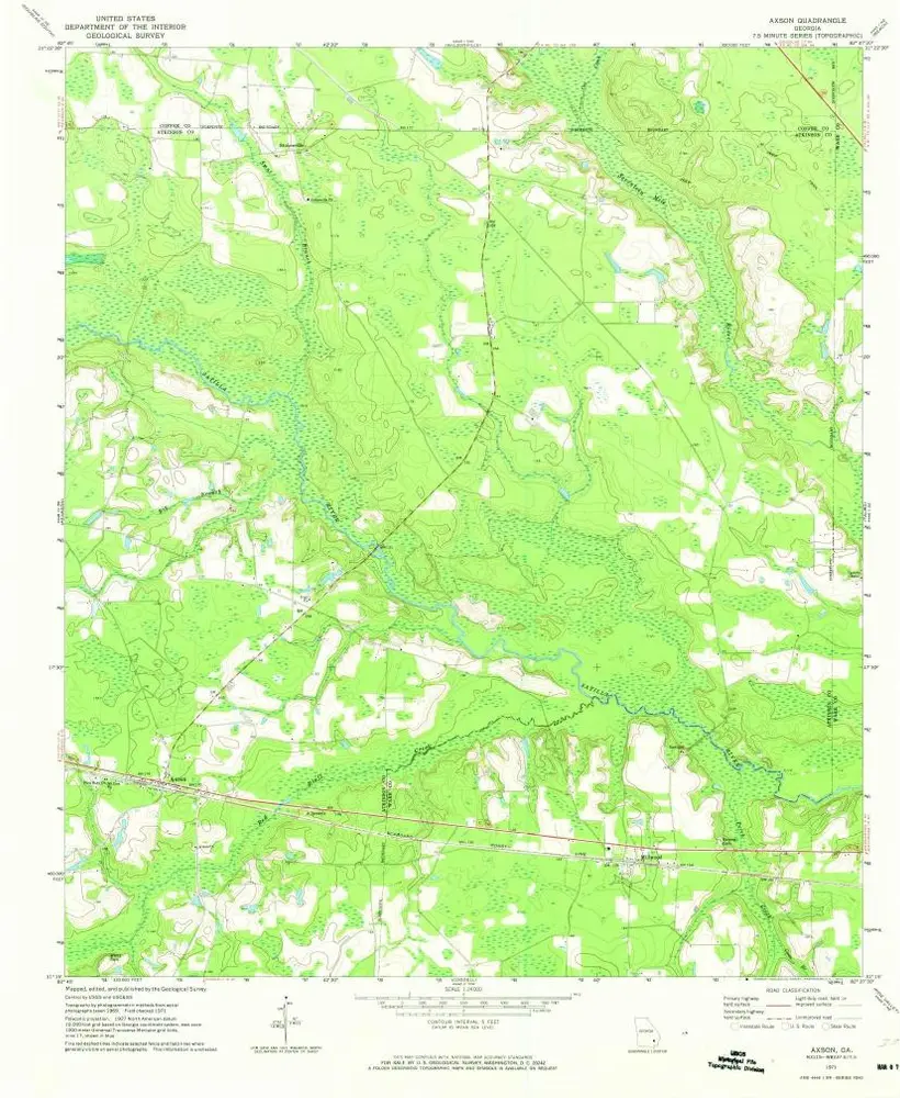
Axson
1971
1:24k
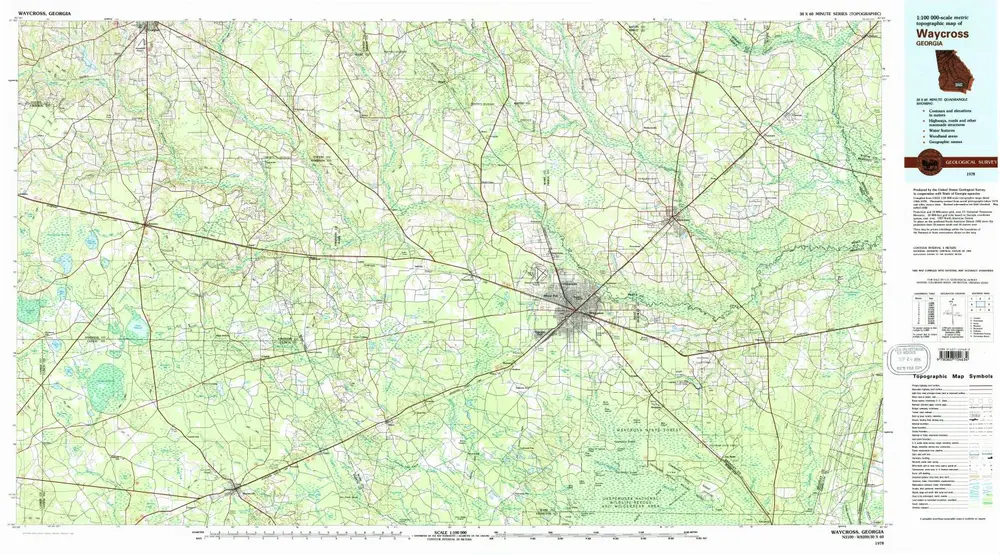
Waycross
1978
1:100k
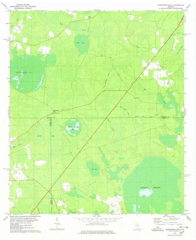
Henderson Still
1978
1:24k
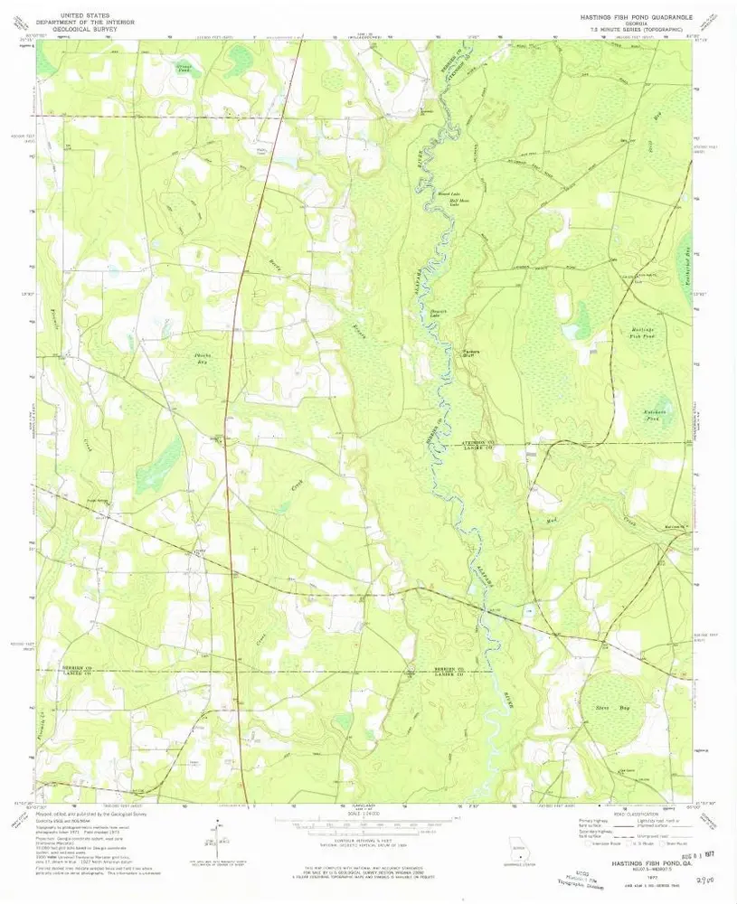
Hastings Fish Pond
1977
1:24k
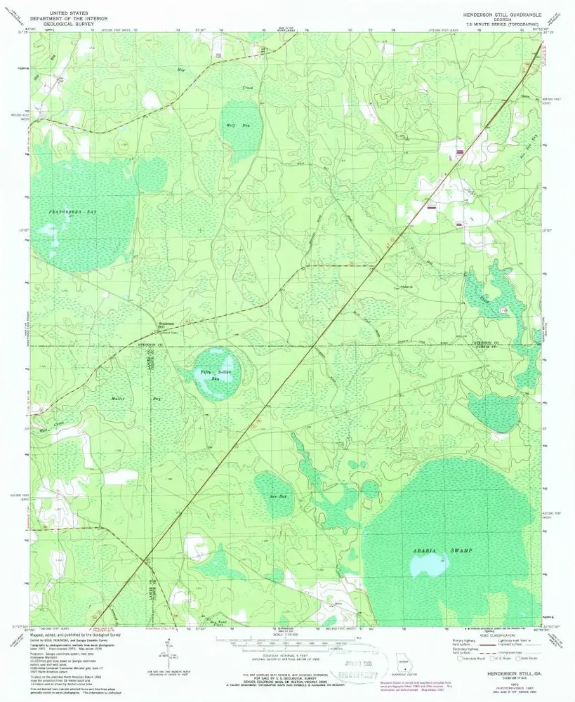
Henderson Still
1972
1:24k
Sandy Bottom
1972
1:24k
Sandy Bottom
1972
1:24k
Geschichte