Projeto
Comunidade
Notícias
Meu aplicativo
Os meus mapas
Skatalogowana mapa
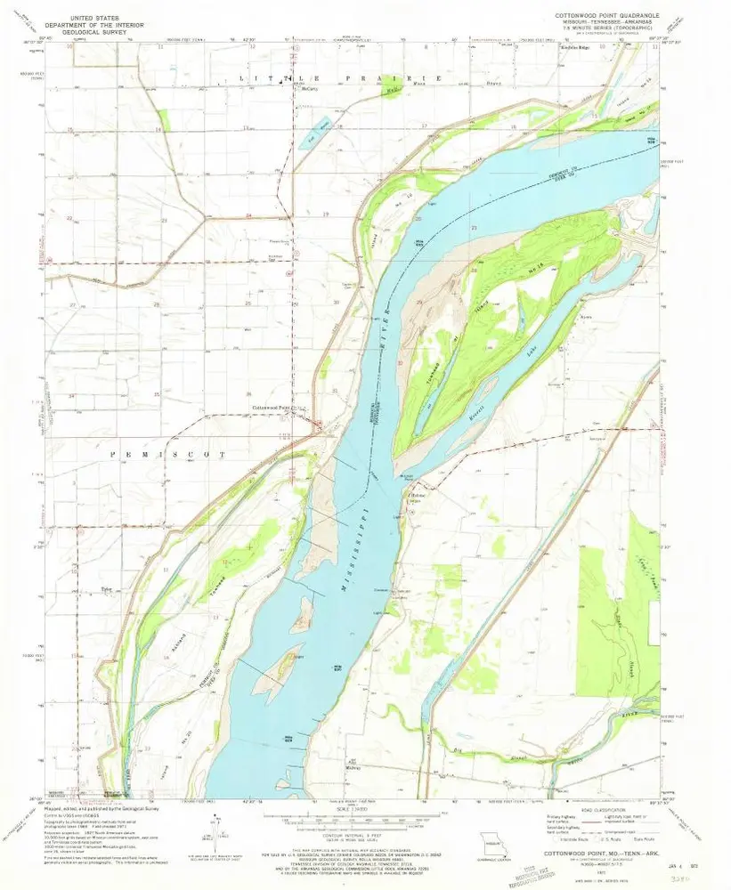
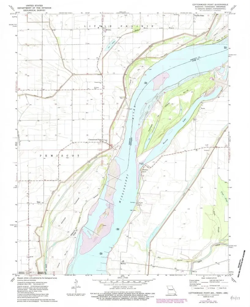
Cottonwood Point
Ver no sítio Web externo
View digitized
Instytucja:
United States Geological Survey
Pełny tytuł:
Cottonwood Point
Rok ilustracji:
1971
Data publikacji:
1973
Skala mapy:
1:24 000
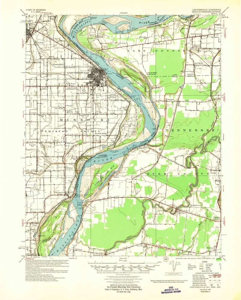
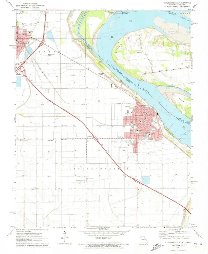
Caruthersville
1957
1:63k
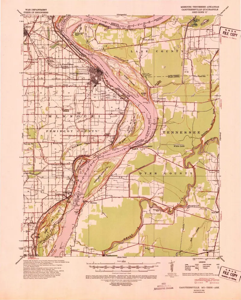
Caruthersville
1939
1:63k
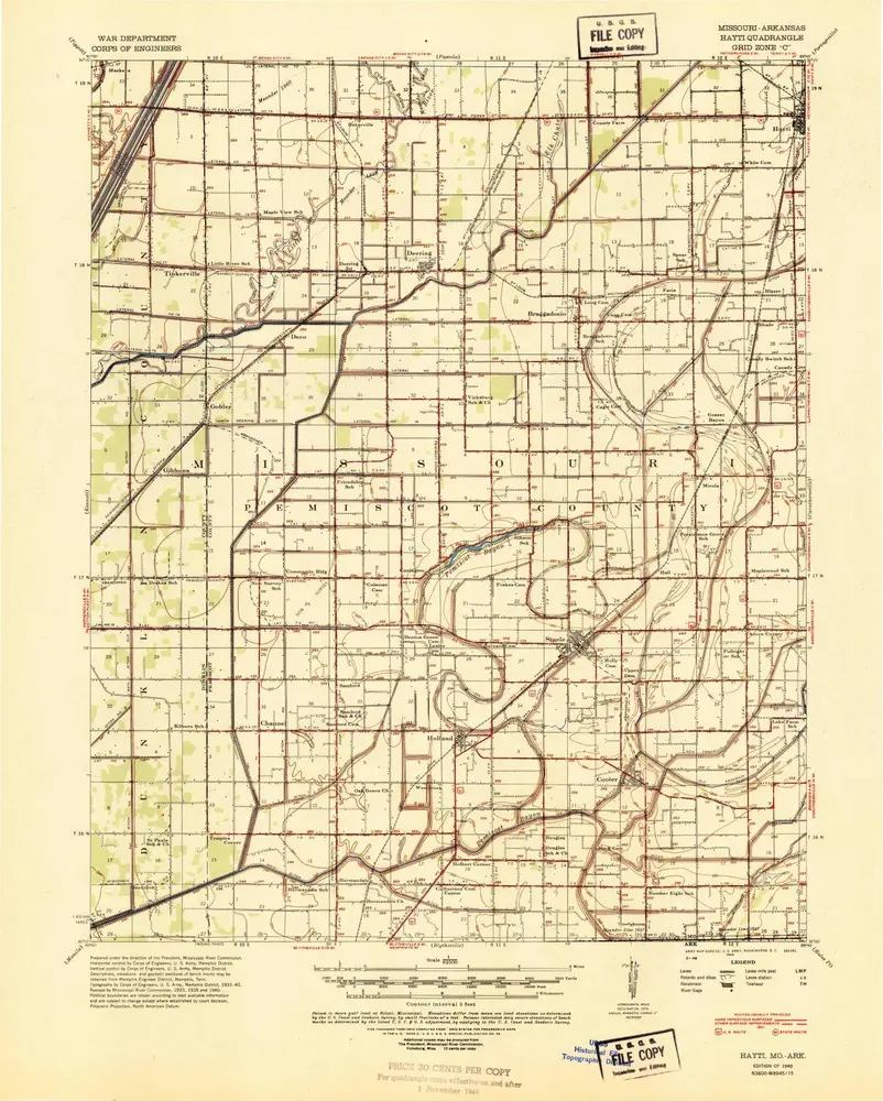
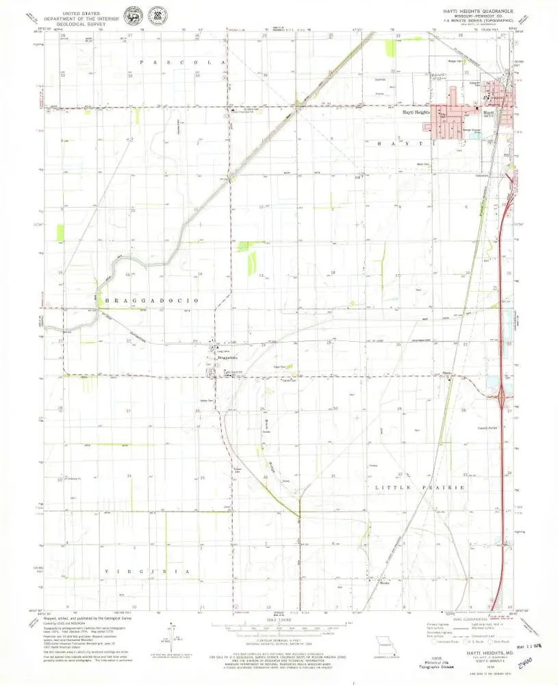
Hayti
1955
1:63k
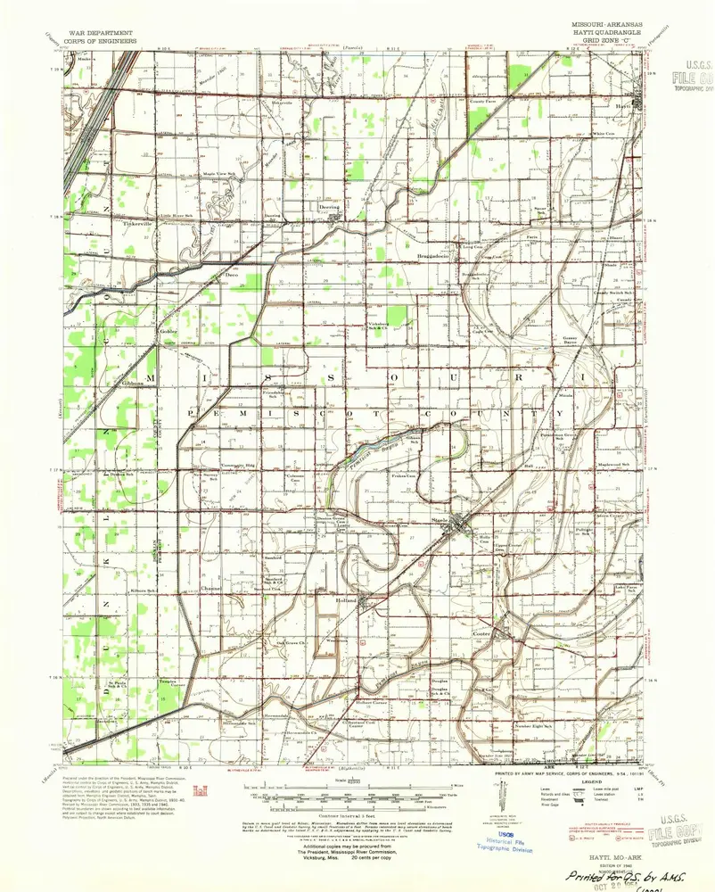
Hayti
1940
1:63k
Hayti
1940
1:63k
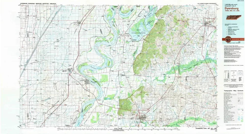
Dyersburg
1983
1:100k
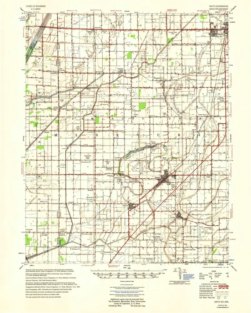
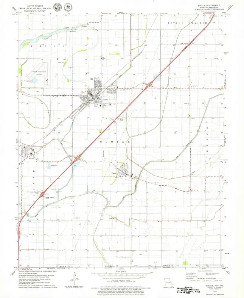
Steele
1978
1:24k
Cottonwood Point
1971
1:24k
Cottonwood Point
1971
1:24k
Hayti Heights
1978
1:24k
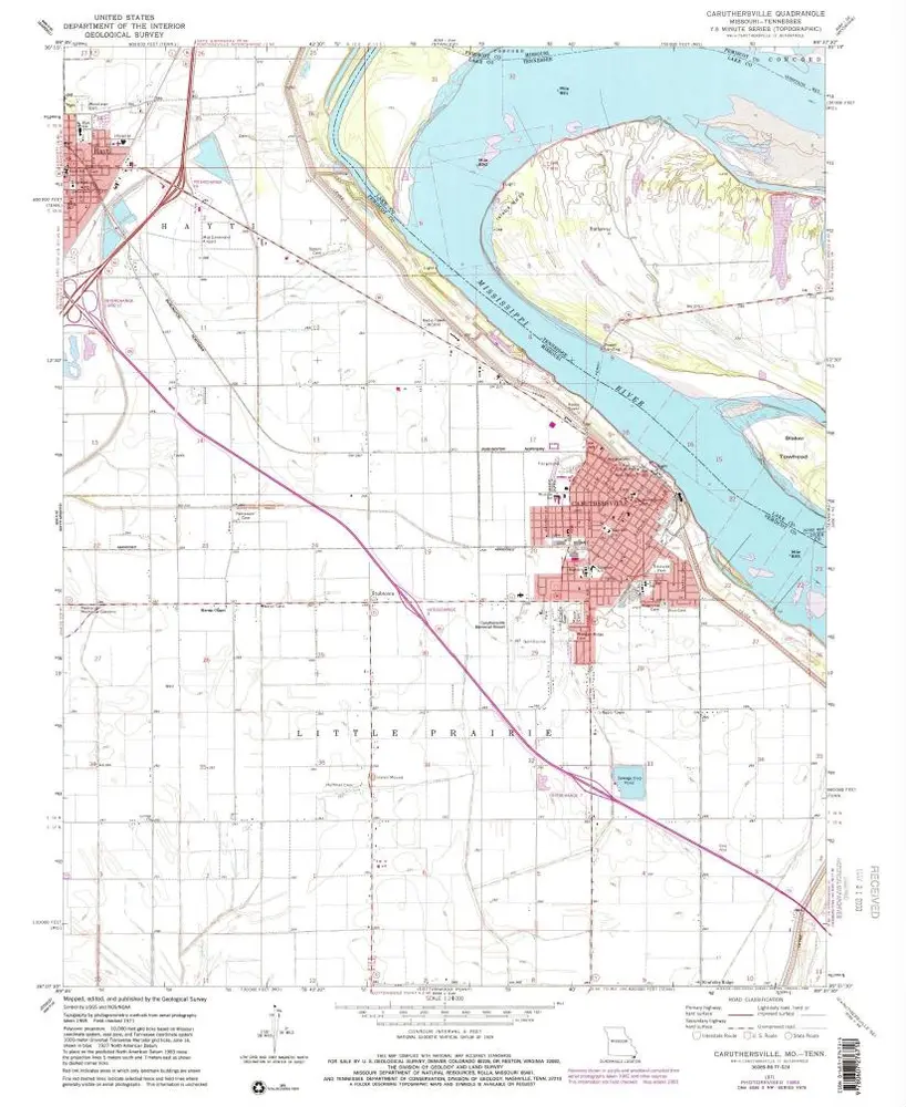
Caruthersville
1971
1:24k
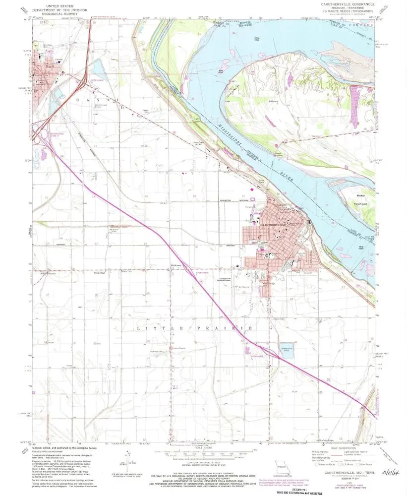
Caruthersville
1971
1:24k
Caruthersville
1971
1:24k
Historia