Projeto
Comunidade
Notícias
Meu aplicativo
Os meus mapas
Cataloged map
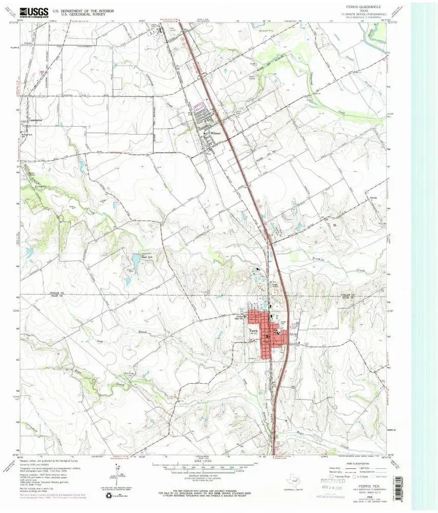
Ferris
Ver no sítio Web externo
Ver digitalizado
Institution:
United States Geological Survey
Full title:
Ferris
Depicted:
1959
Pubdate:
1969
Map scale:
1:24 000
Ferris
1959
1:24k
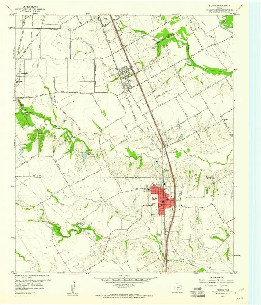
Ferris
1959
1:24k
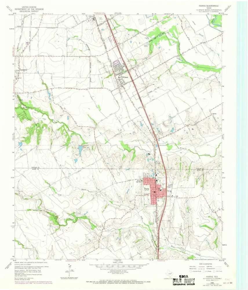
Ferris
1959
1:24k
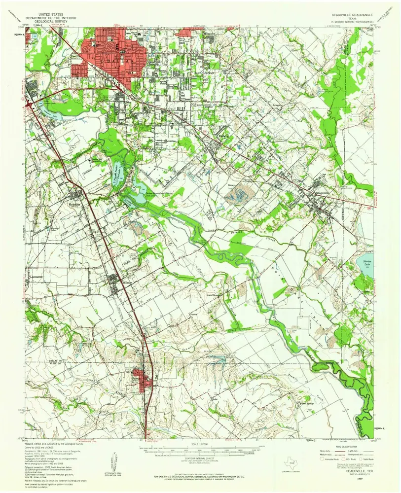
Seagoville
1959
1:63k
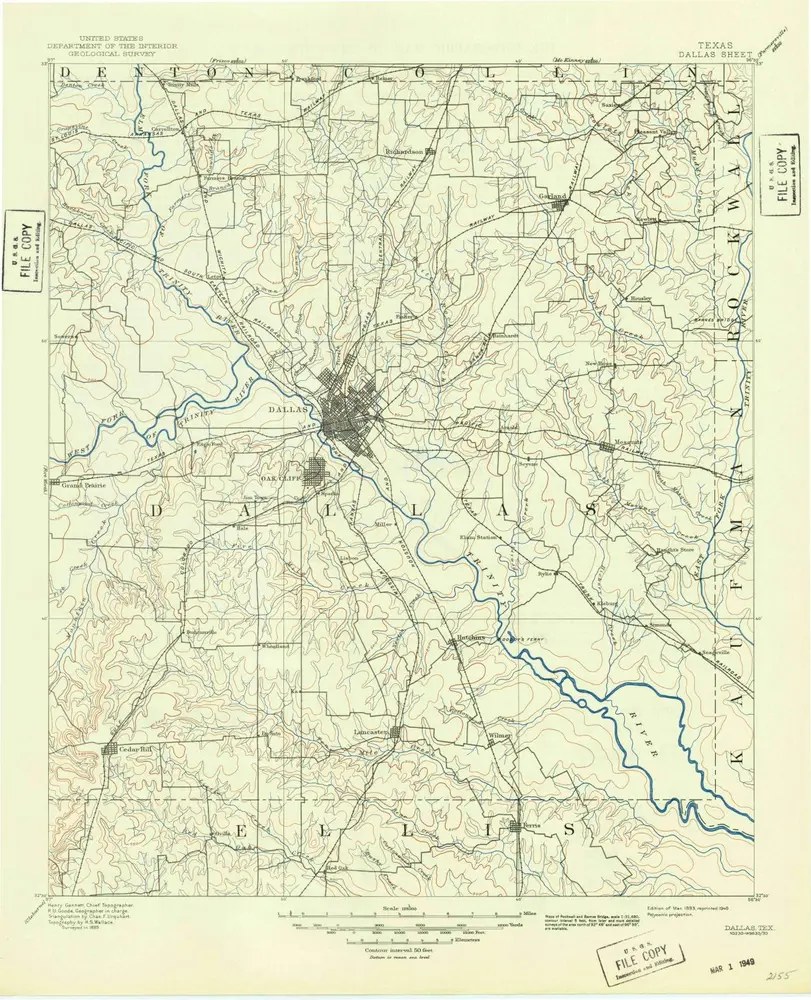
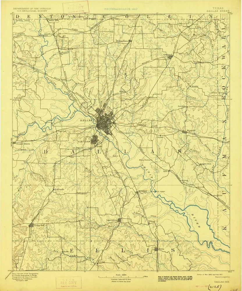
Dallas
1893
1:125k
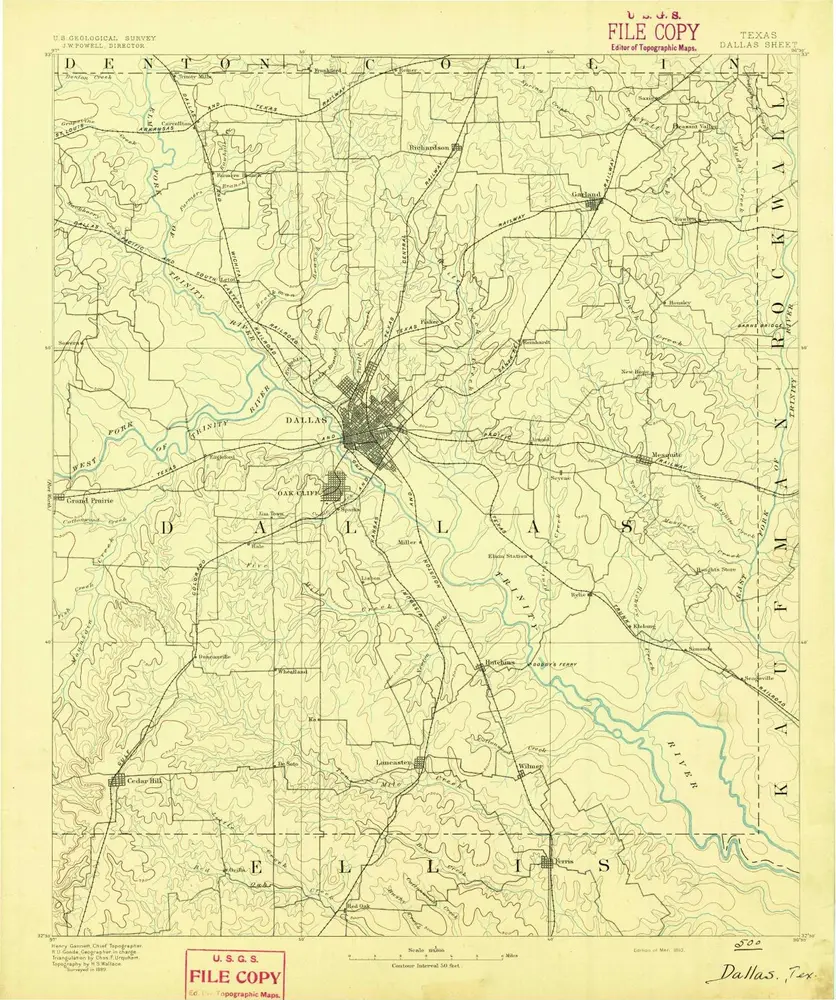
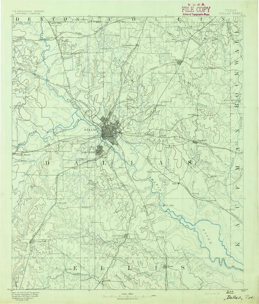
Dallas
1893
1:125k
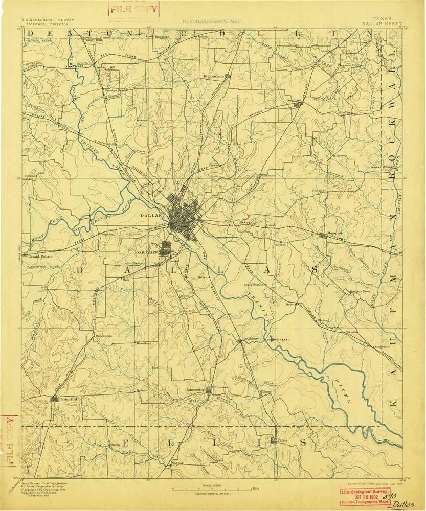
Dallas
1893
1:125k
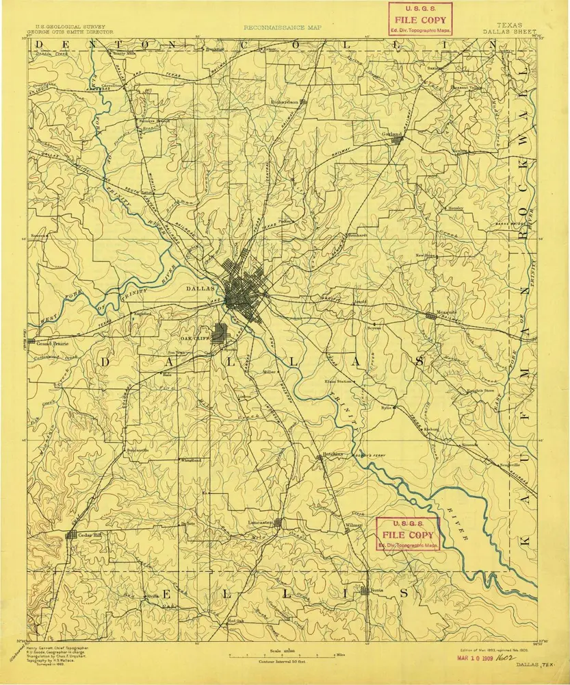
Dallas
1893
1:125k
Dallas
1893
1:125k
Dallas
1891
1:125k
History