Projekt
Wspólnota
Aktualności
Moja aplikacja
Moje mapy
Katalogisierte Karte
Statesville
Wyświetlanie na zewnętrznej stronie internetowej
Zobacz zdigitalizowane
Einrichtung:
United States Geological Survey
Vollständiger Titel:
Statesville
Jahr der Abbildung:
1893
Veröffentlichungsdatum:
1934
Maßstab der Karte:
1:125 000
Statesville
1893
1:125k
Statesville
1893
1:125k
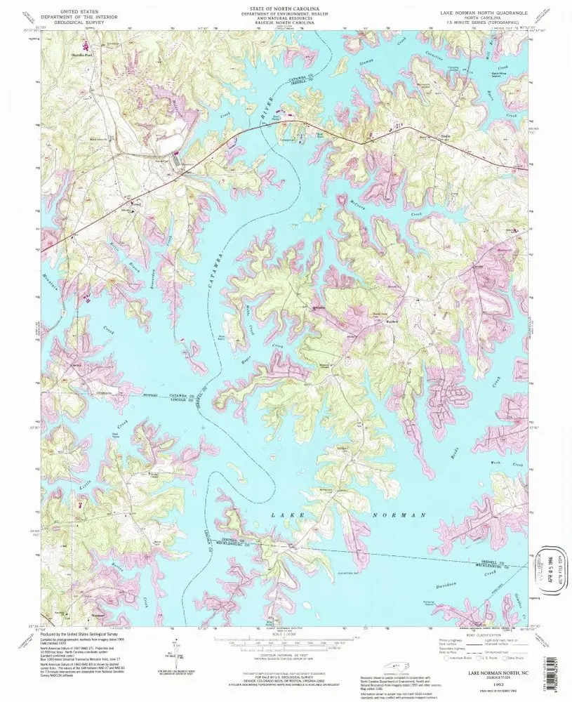
Lake Norman North
1993
1:24k
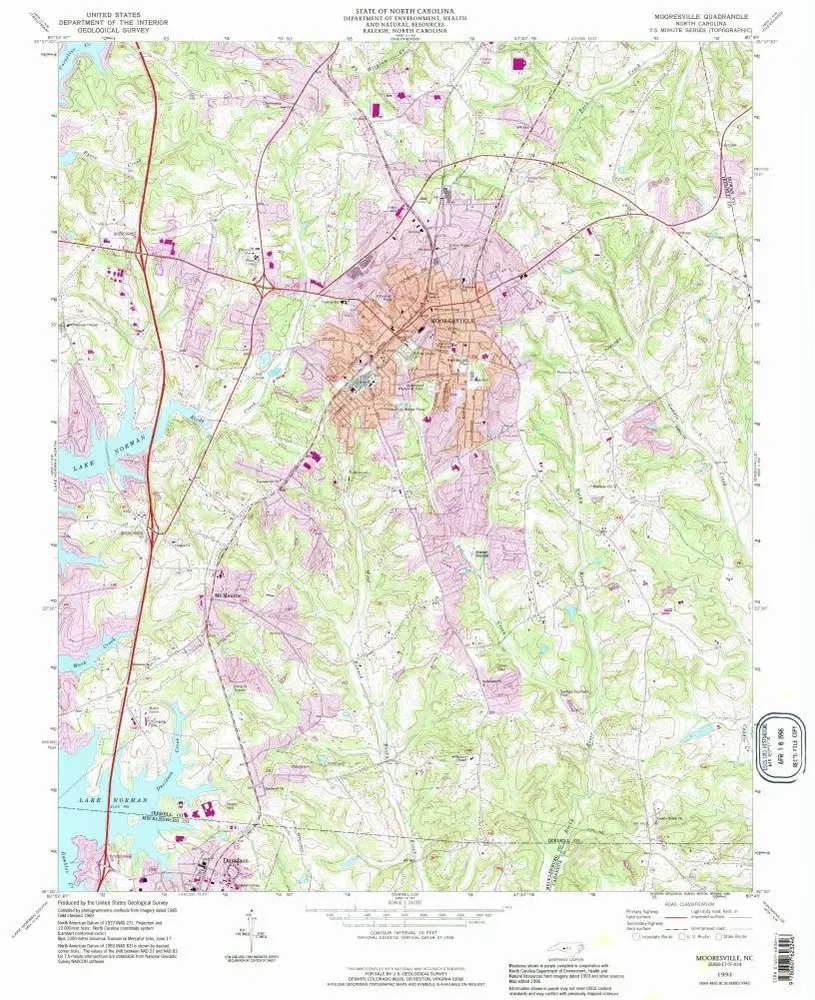
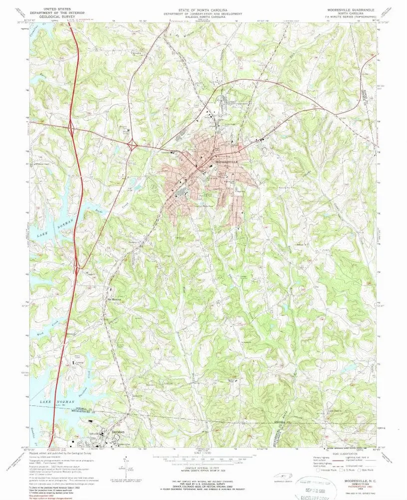
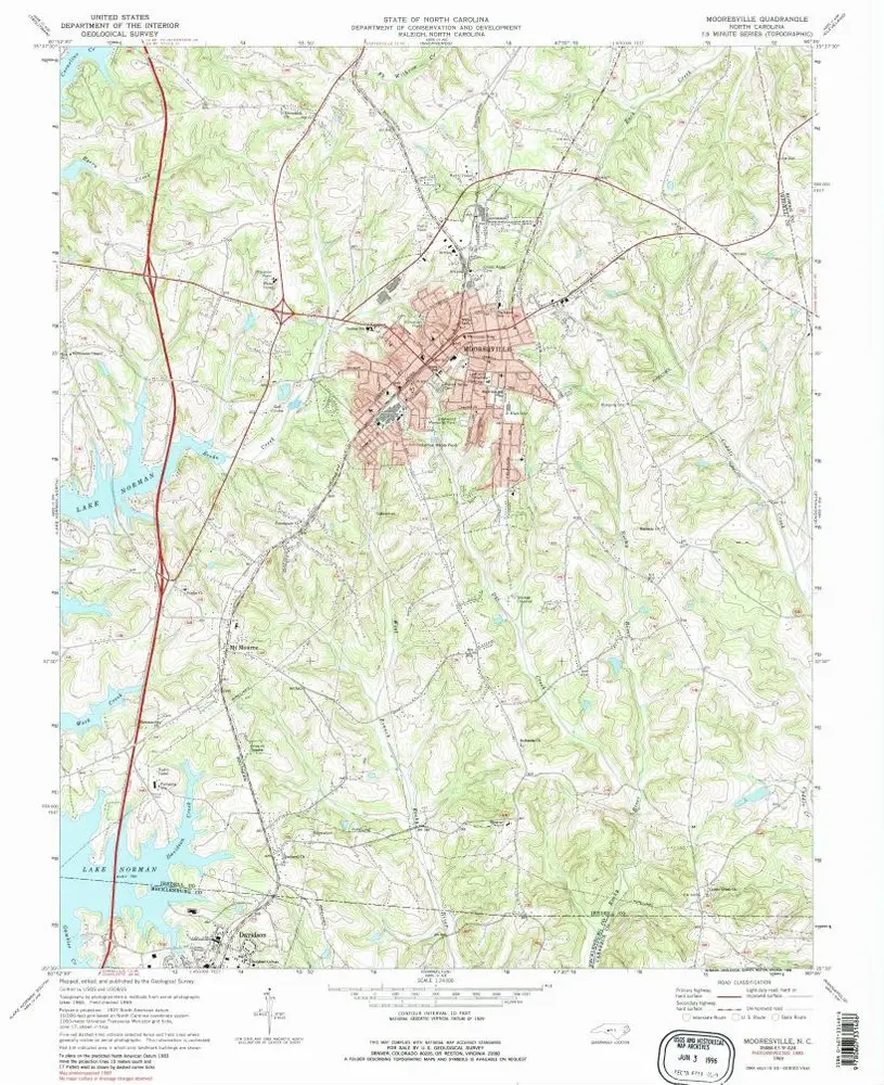
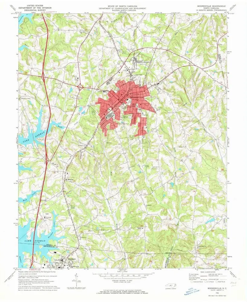
Mooresville
1993
1:24k
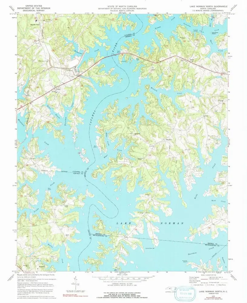
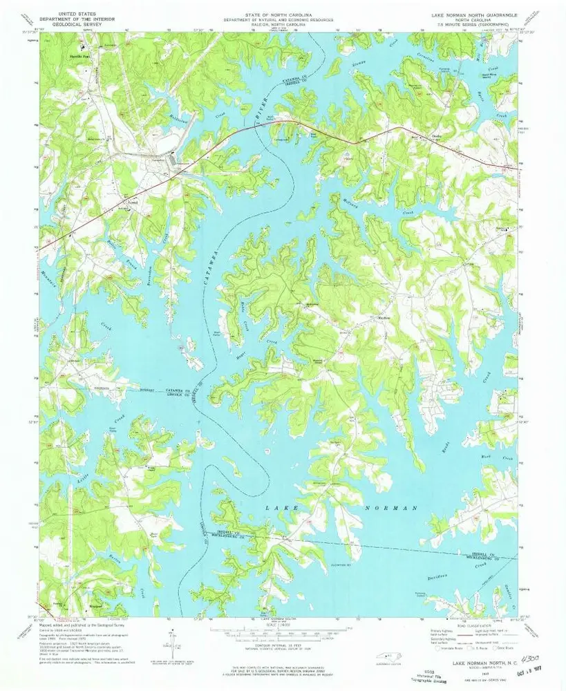
Lake Norman North
1970
1:24k
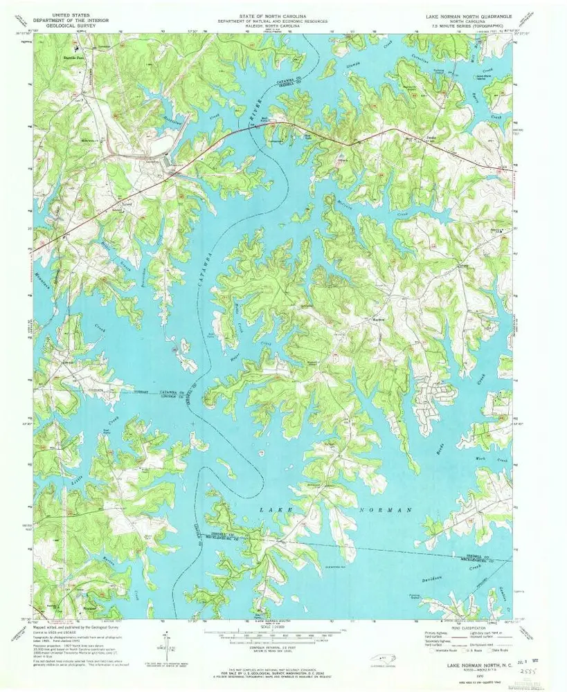
Lake Norman North
1970
1:24k
Lake Norman North
1970
1:24k
Mooresville
1969
1:24k
Mooresville
1969
1:24k
Mooresville
1969
1:24k
Geschichte