Projekt
Wspólnota
Aktualności
Moja aplikacja
Moje mapy
Katalogisierte Karte
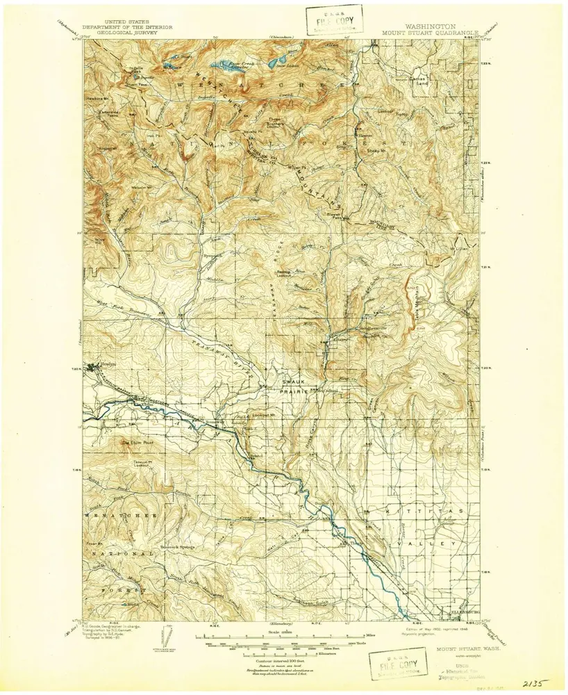
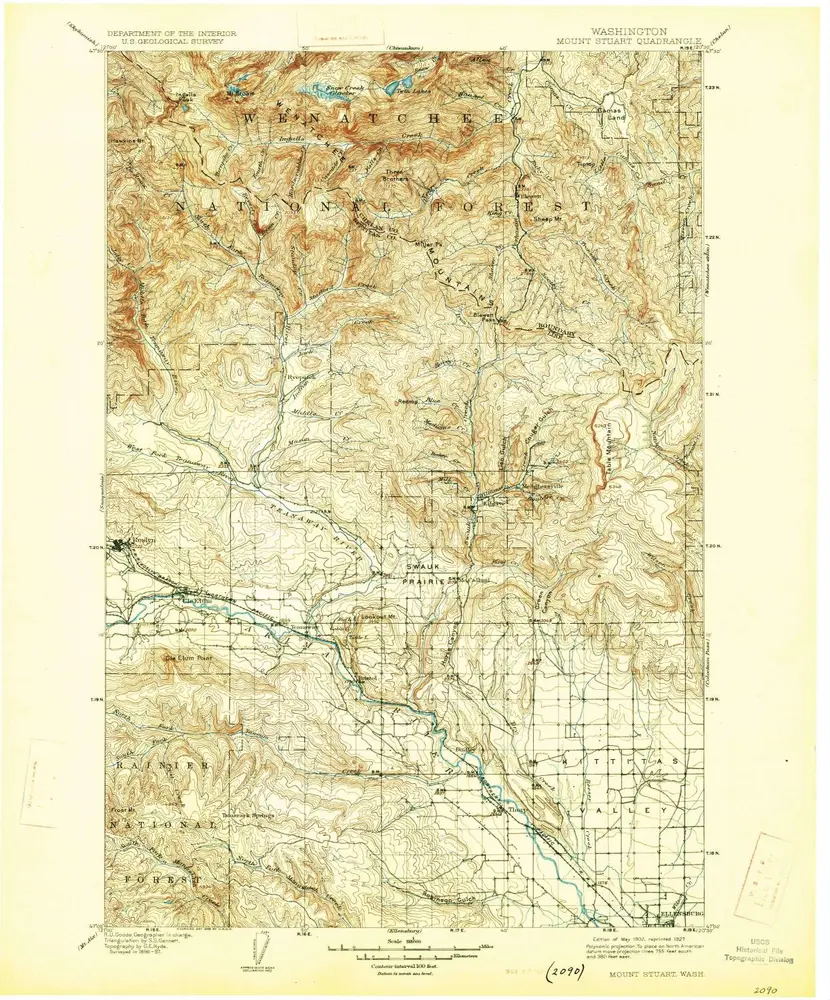
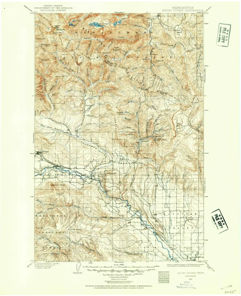
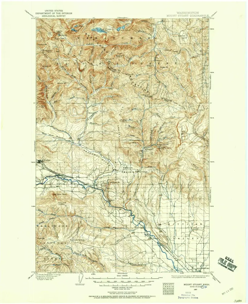
Mount Stuart
Wyświetlanie na zewnętrznej stronie internetowej
Zobacz zdigitalizowane
Einrichtung:
United States Geological Survey
Vollständiger Titel:
Mount Stuart
Jahr der Abbildung:
1902
Veröffentlichungsdatum:
1946
Maßstab der Karte:
1:125 000
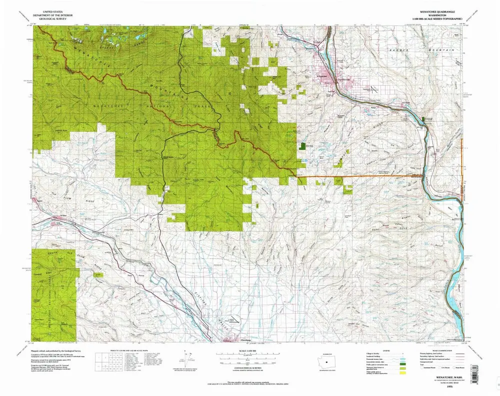
Wenatchee
1975
1:100k
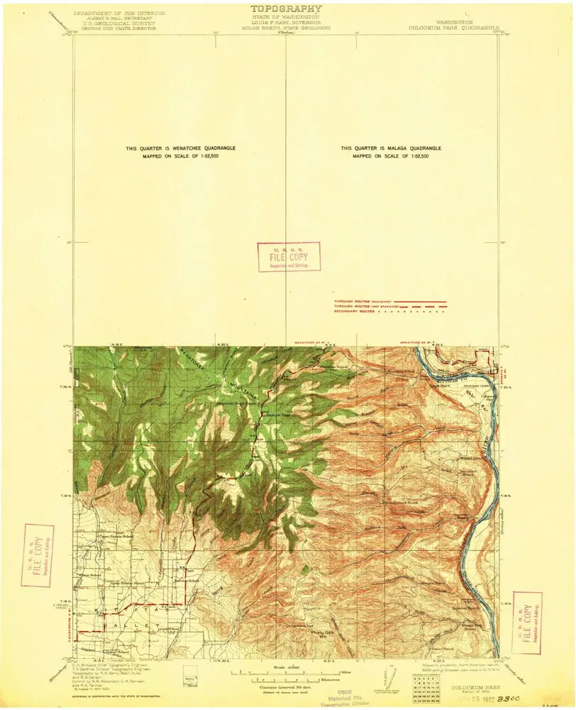
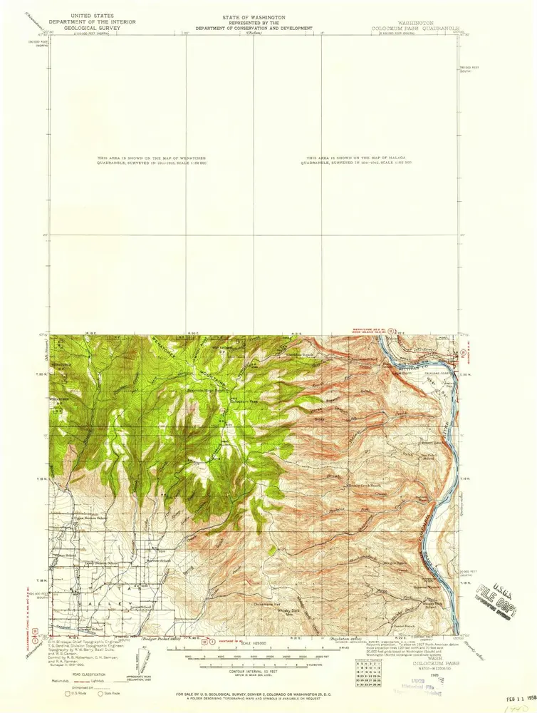
Colockum Pass
1922
1:125k
Colockum Pass
1922
1:125k
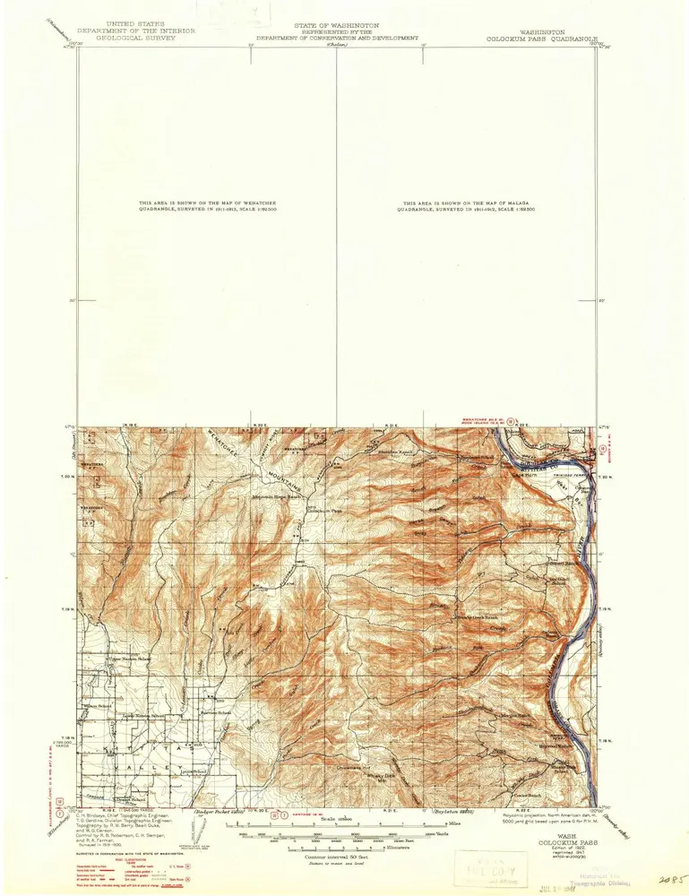
Colockum Pass
1921
1:96k
Colockum Pass
1920
1:125k
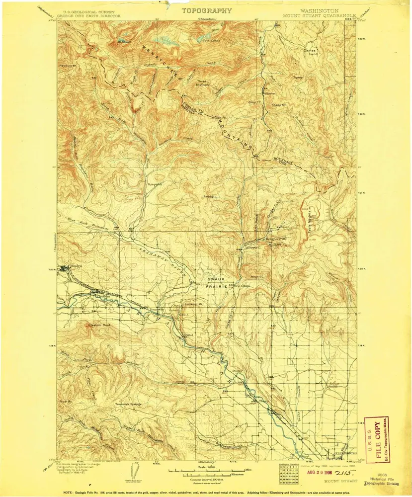
Mount Stuart
1902
1:125k
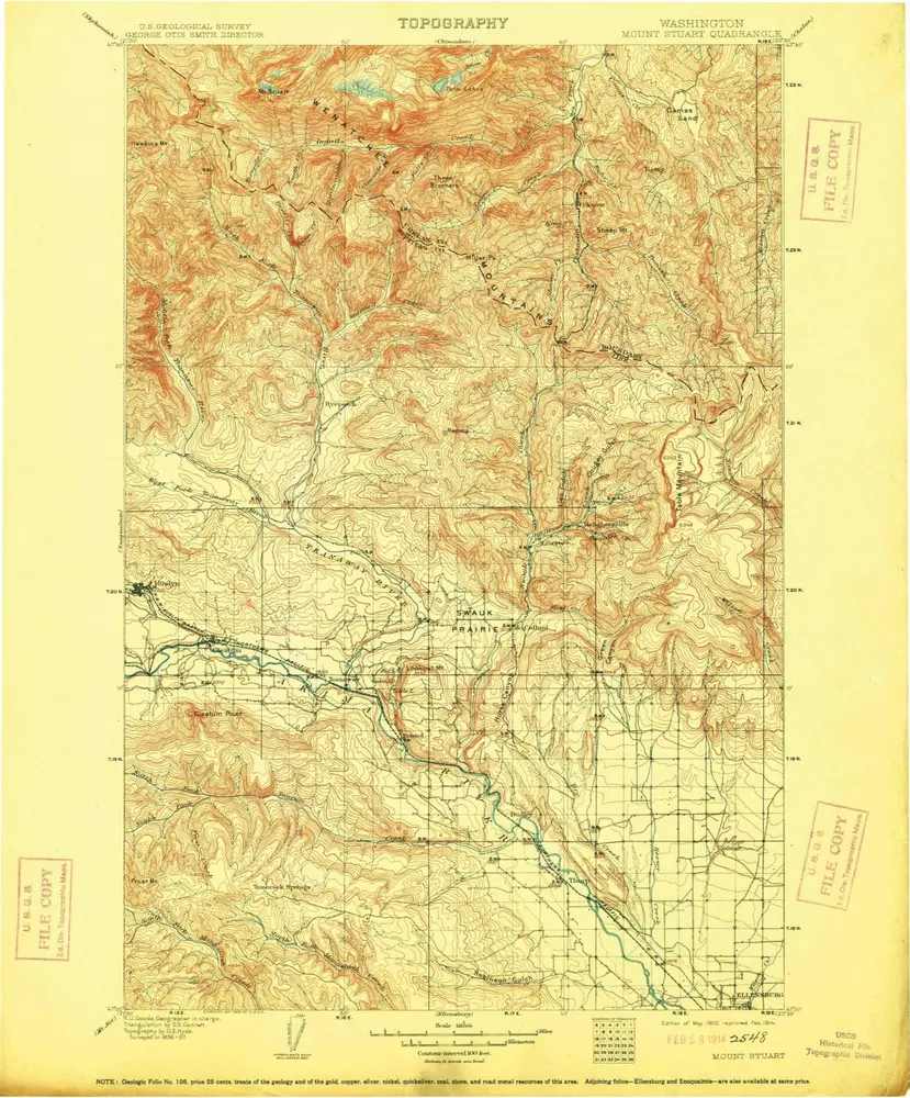
Mount Stuart
1902
1:125k
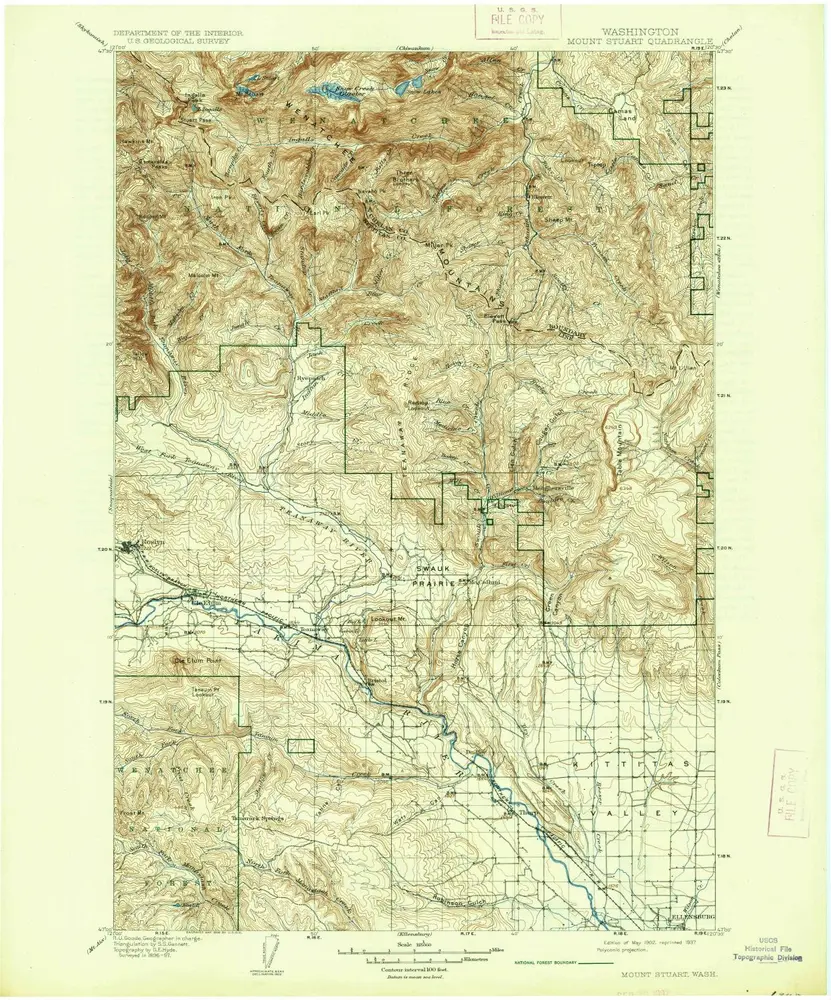
Mount Stuart
1902
1:125k
Mount Stuart
1902
1:125k
Mt Stuart
1902
1:125k
Mount Stuart
1897
1:125k
Mount Stuart
1897
1:125k
Geschichte