Katalogisierte Karte
Monroeville

Einrichtung:United States Geological Survey
Vollständiger Titel:Monroeville
Jahr der Abbildung:1986
Veröffentlichungsdatum:1989
Maßstab der Karte:1:100 000
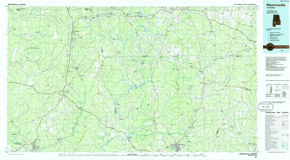
Monroeville
1986
1:100k
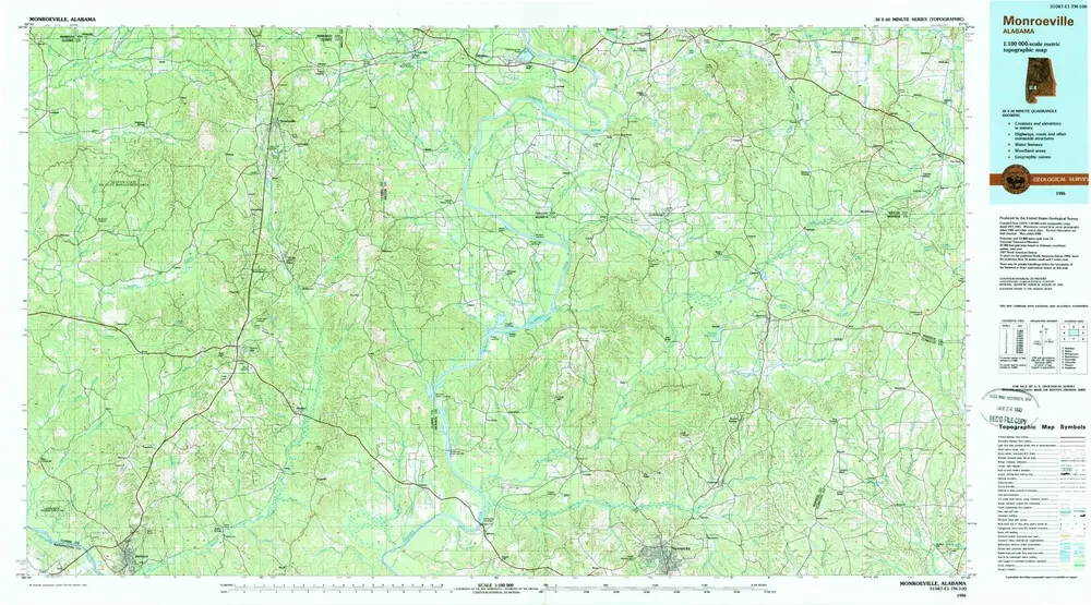
Monroeville
1986
1:100k
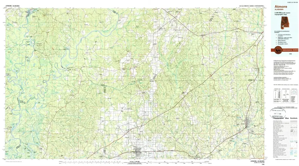
Atmore
1986
1:100k
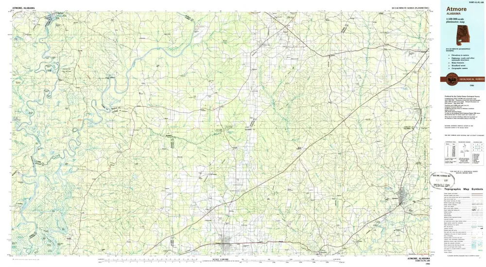
Atmore
1986
1:100k
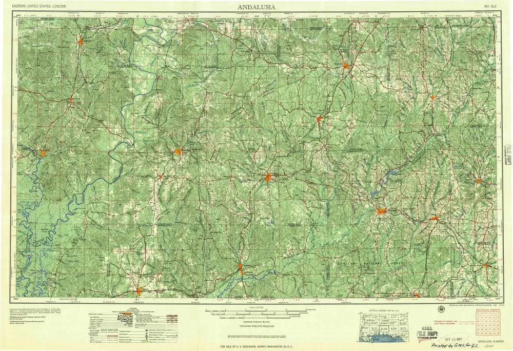
Andalusia
1957
1:250k
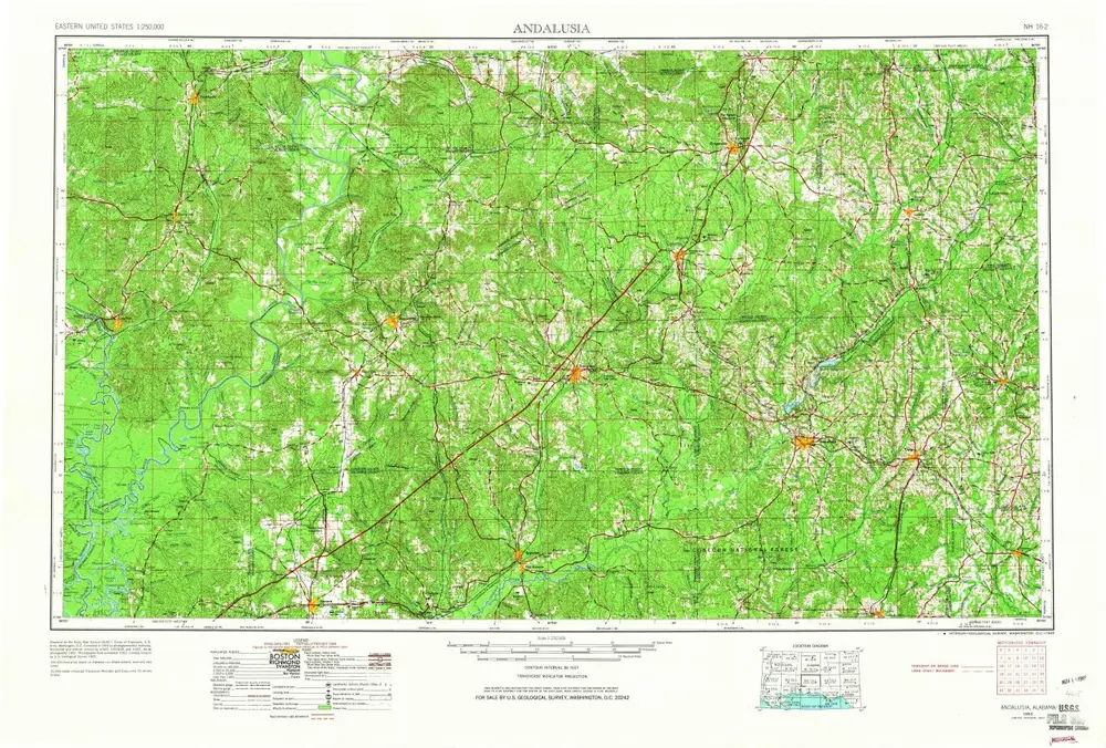
Andalusia
1953
1:250k
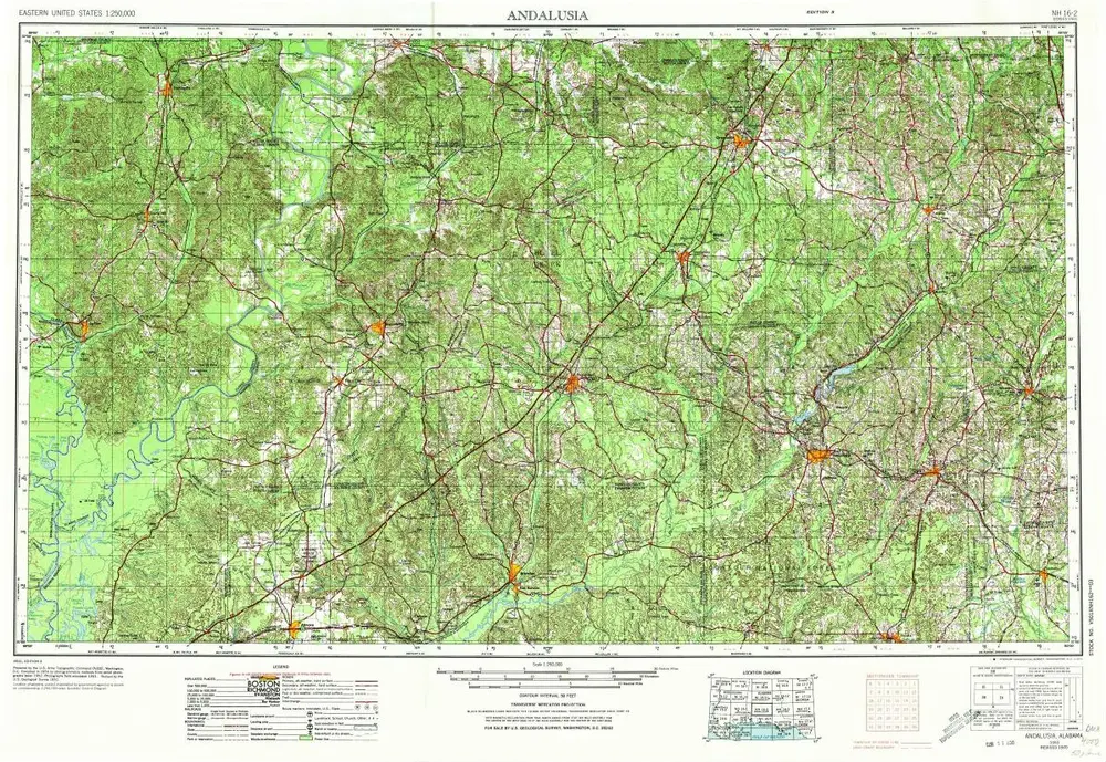
Andalusia
1953
1:250k
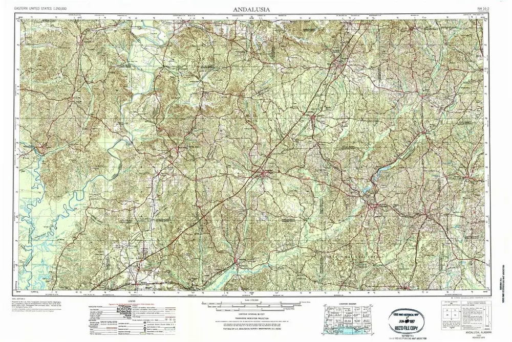
Andalusia
1953
1:250k
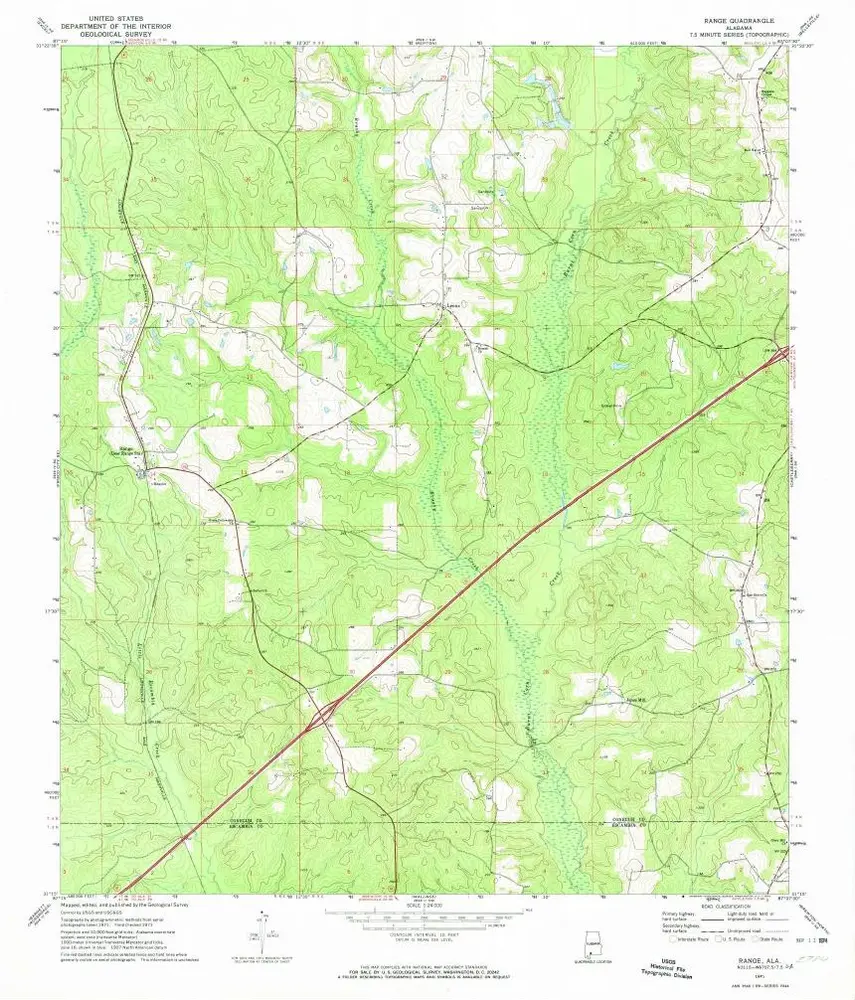
Range
1971
1:24k
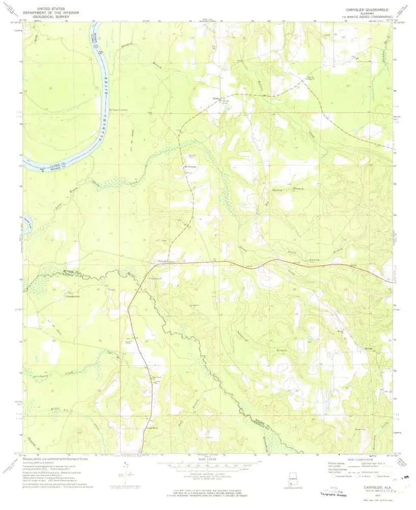
Chrysler
1972
1:24k
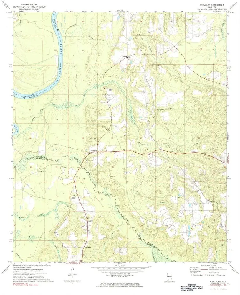
Chrysler
1972
1:24k
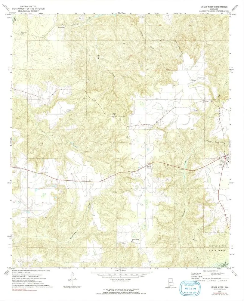
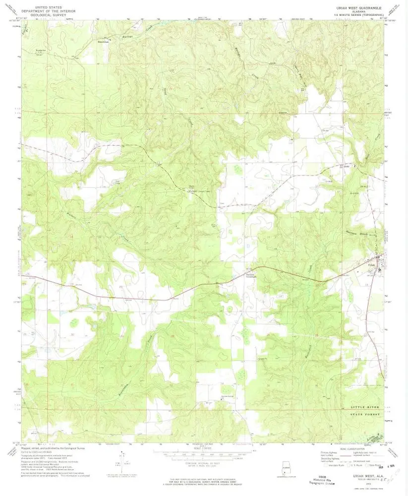
Uriah West
1972
1:24k
Uriah West
1972
1:24k
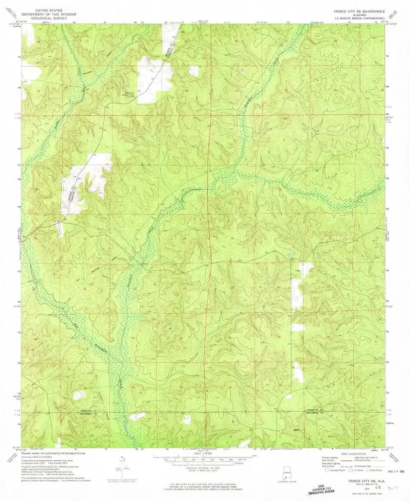
Frisco City SE
1972
1:24k
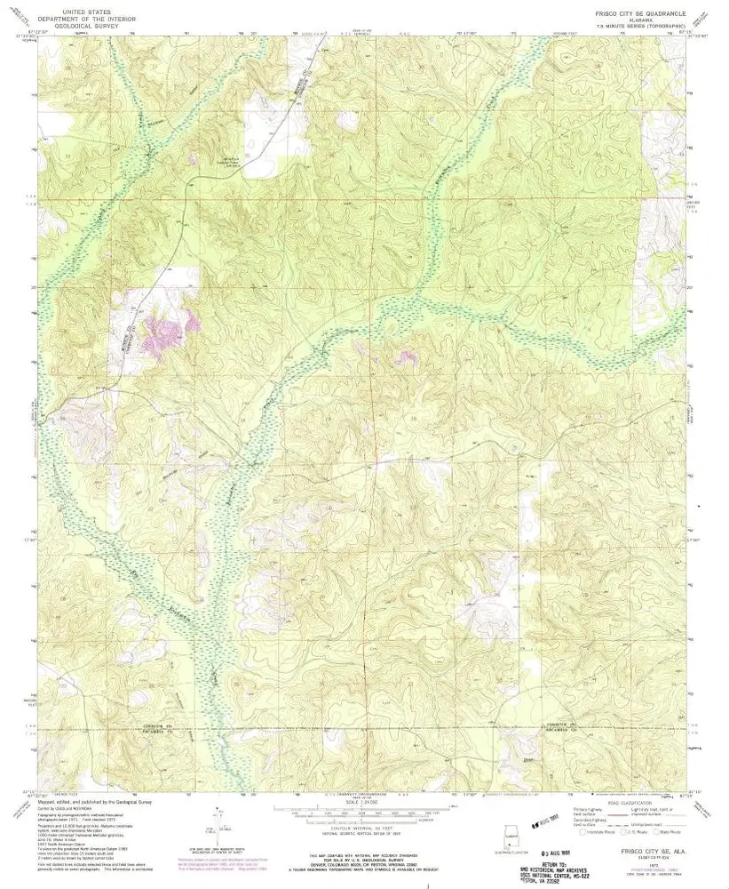
Frisco City SE
1972
1:24k
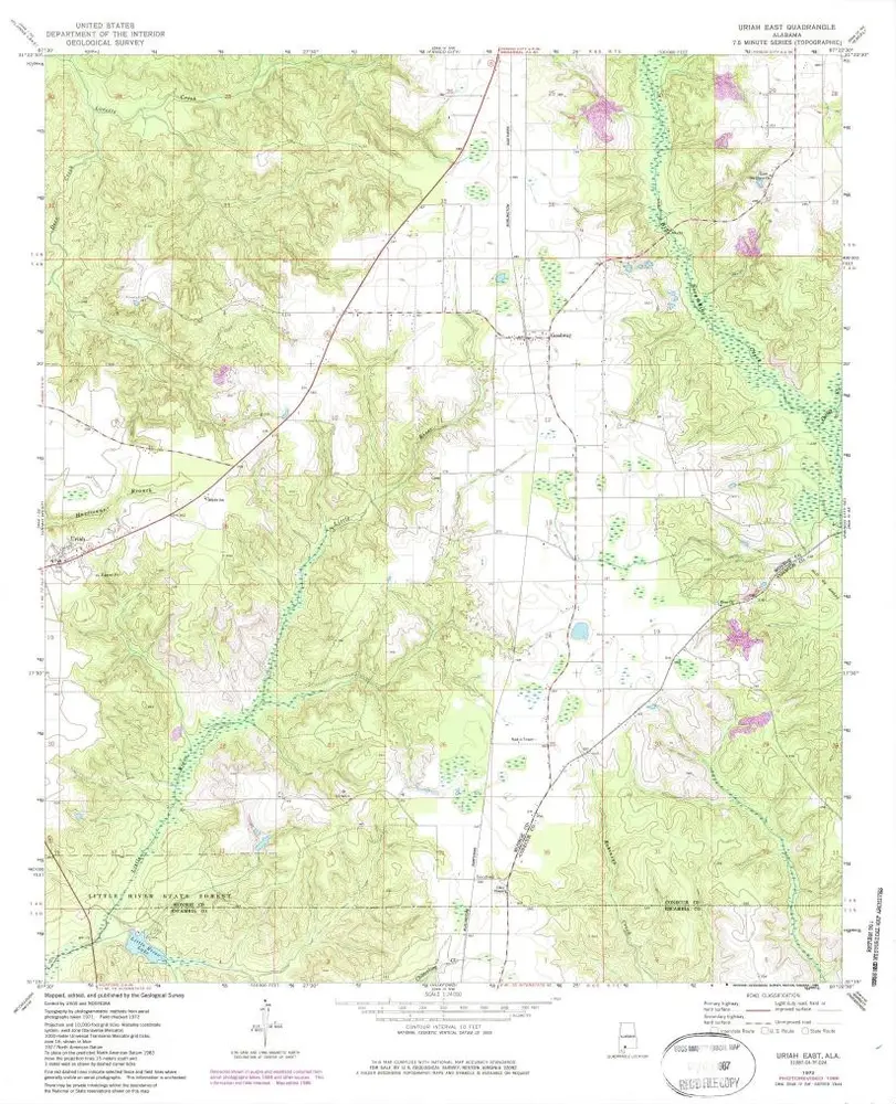
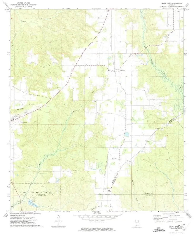
Uriah East
1972
1:24k
Uriah East
1972
1:24k
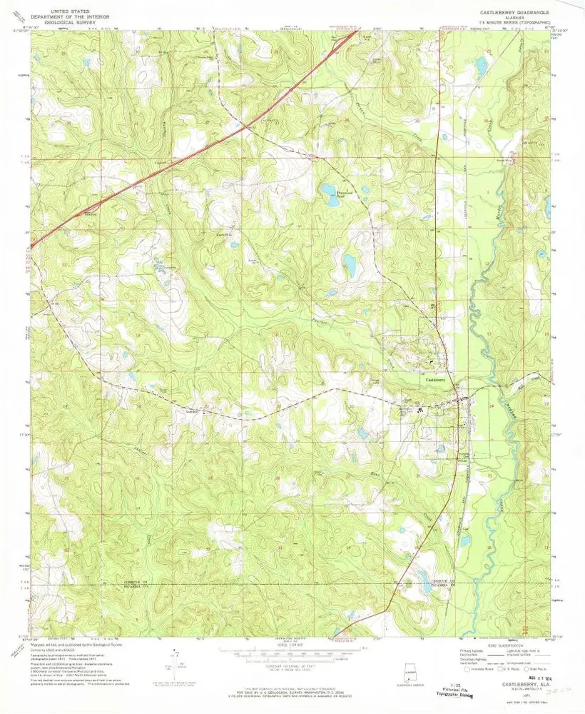
Castleberry
1971
1:24k