Projekt
Wspólnota
Aktualności
Moja aplikacja
Moje mapy
Katalogisierte Karte
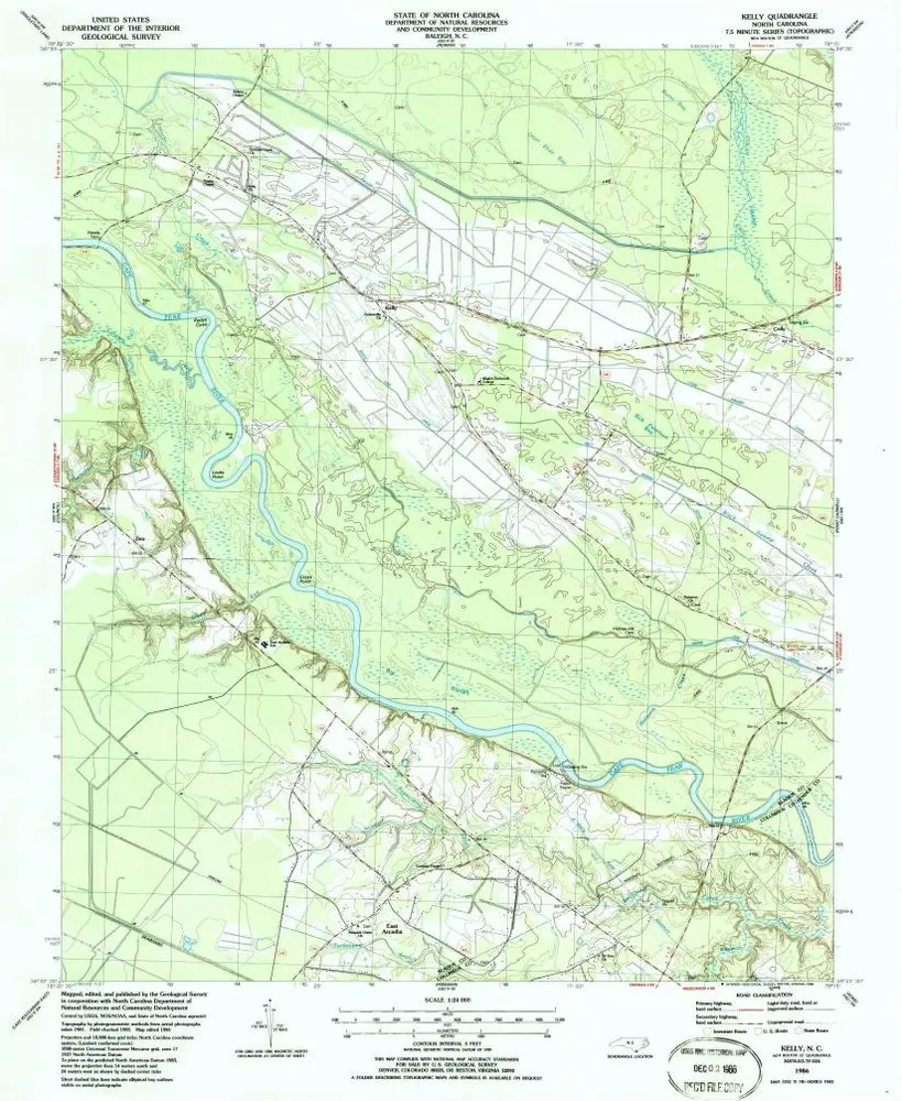
Kelly
Wyświetlanie na zewnętrznej stronie internetowej
Zobacz zdigitalizowane
Einrichtung:
United States Geological Survey
Vollständiger Titel:
Kelly
Jahr der Abbildung:
1986
Veröffentlichungsdatum:
1986
Maßstab der Karte:
1:24 000
Kelly
1986
1:24k
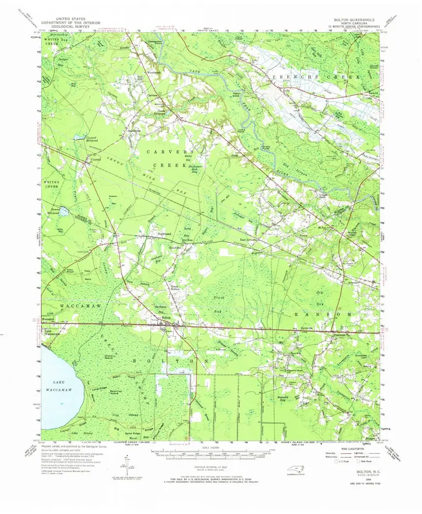
Bolton
1954
1:63k
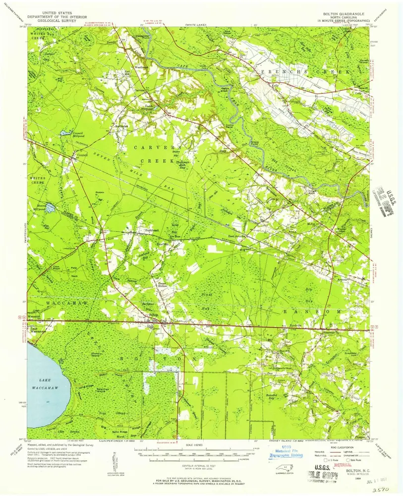
Bolton
1954
1:63k
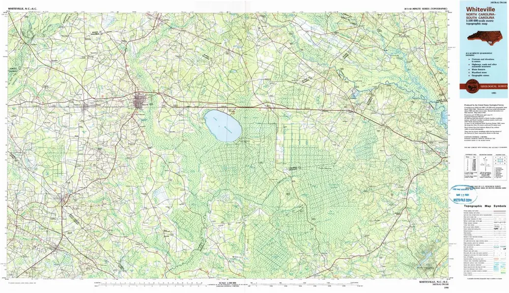
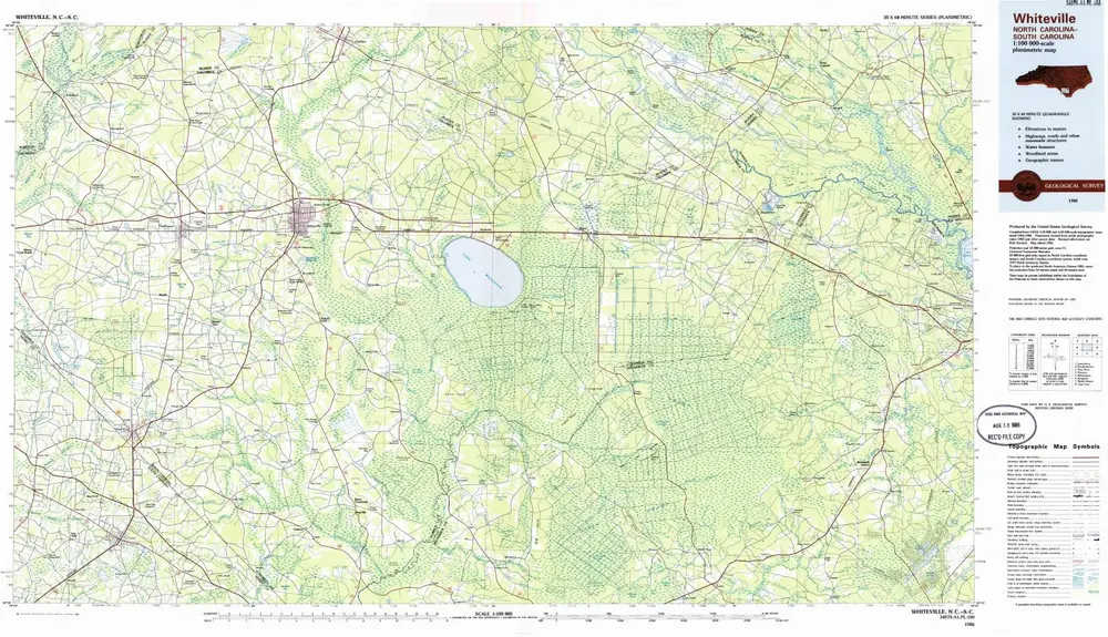
Whiteville
1990
1:100k
Whiteville
1986
1:100k
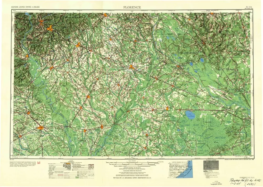
Florence
1954
1:250k
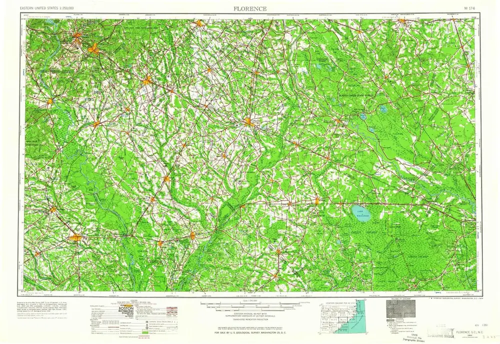
Florence
1953
1:250k
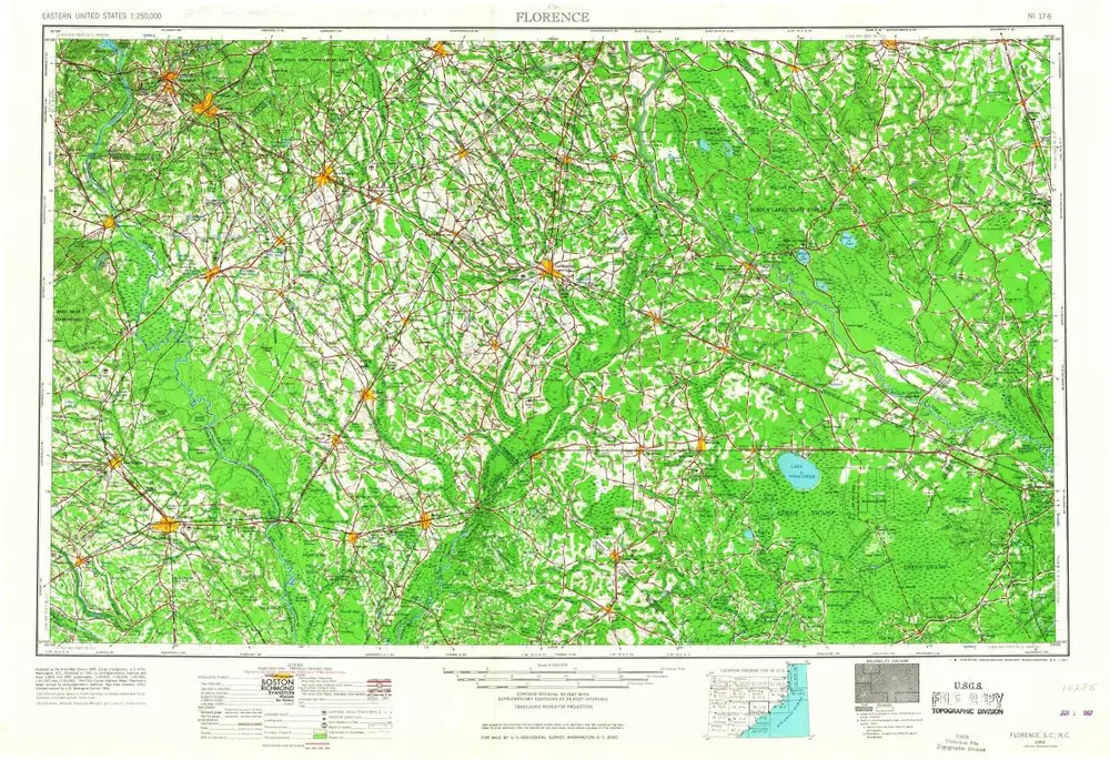
Florence
1953
1:250k
Florence
1953
1:250k
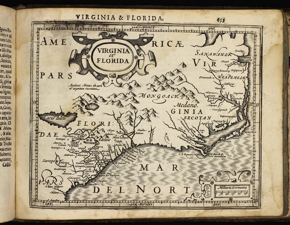
Atlas minor, mapa ze strany: 655
1610
Mercator Gerhard
Geschichte