Projekt
Wspólnota
Aktualności
Moja aplikacja
Moje mapy
Katalogisierte Karte
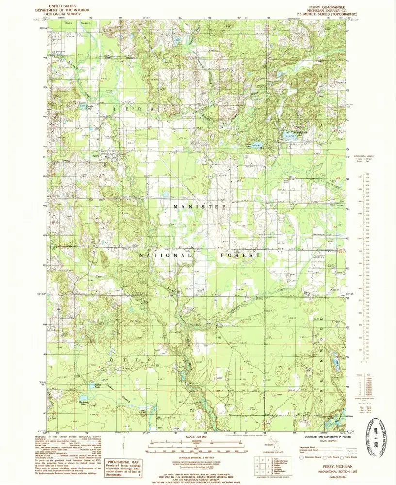
Ferry
Wyświetlanie na zewnętrznej stronie internetowej
Zobacz zdigitalizowane
Einrichtung:
United States Geological Survey
Vollständiger Titel:
Ferry
Jahr der Abbildung:
1985
Veröffentlichungsdatum:
1985
Maßstab der Karte:
1:24 000
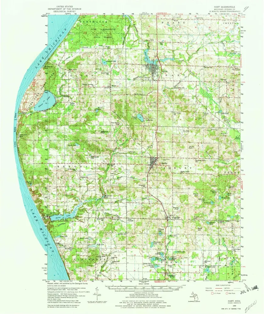
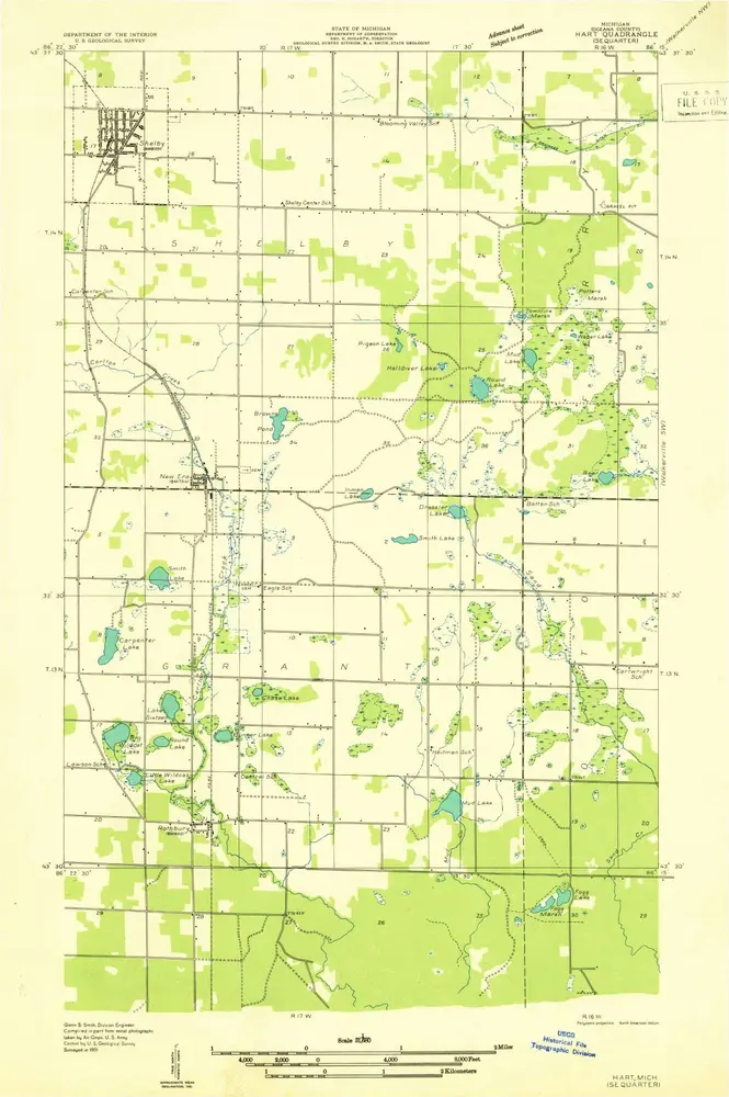
Hart
1959
1:63k
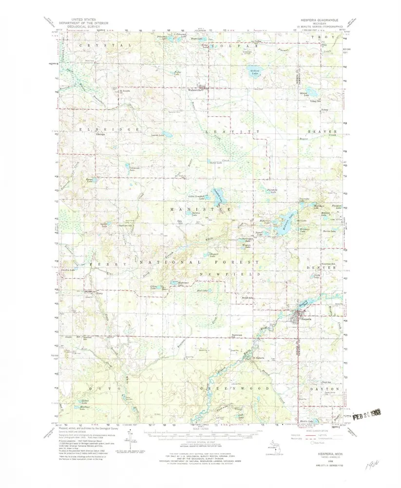
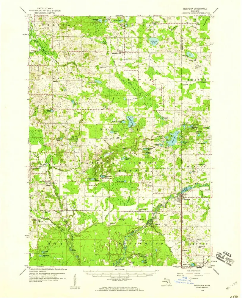
Hesperia
1958
1:63k
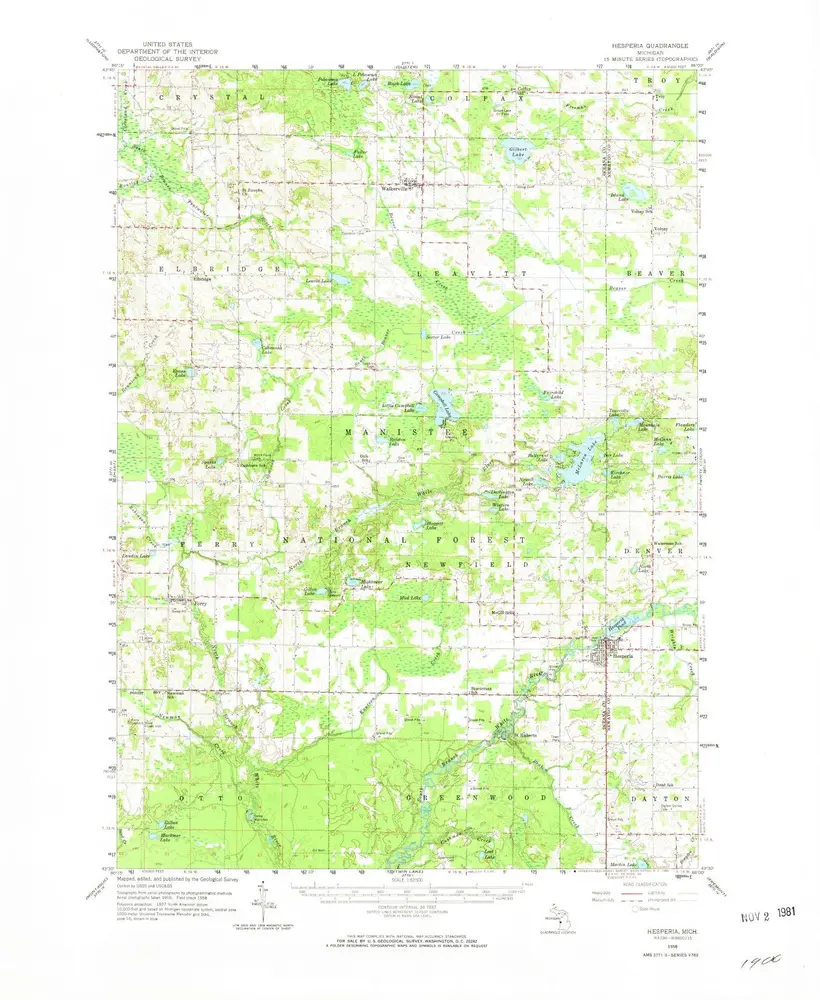
Hesperia
1958
1:63k
Hesperia
1958
1:63k
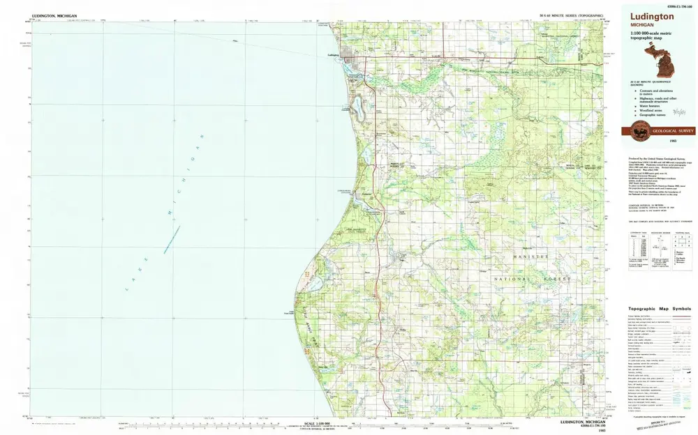
Ludington
1983
1:100k
Ferry
1985
1:24k
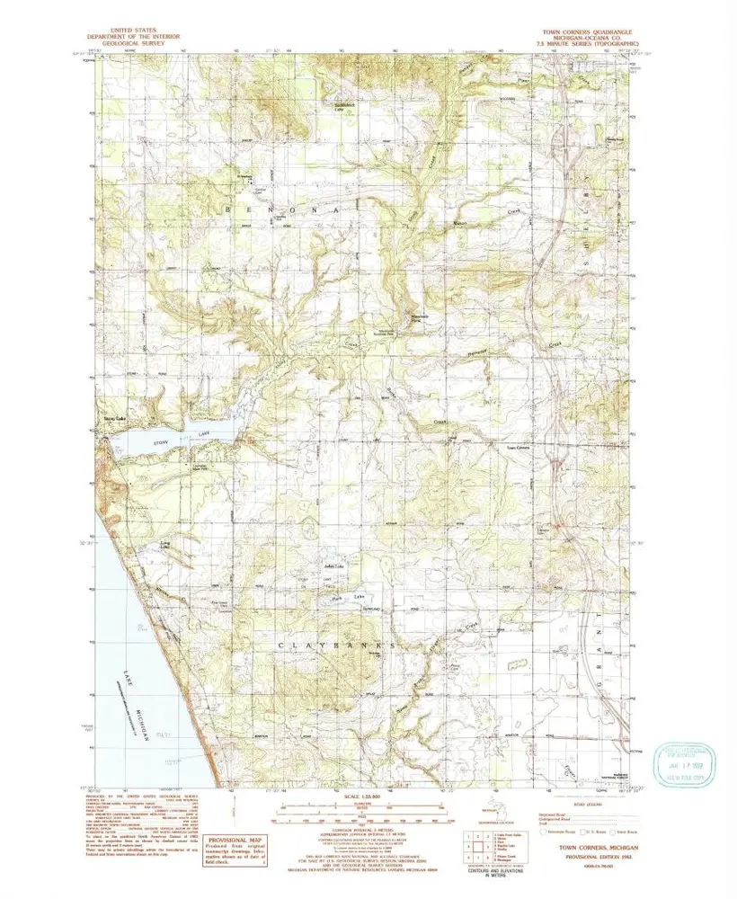
Town Corners
1983
1:24k
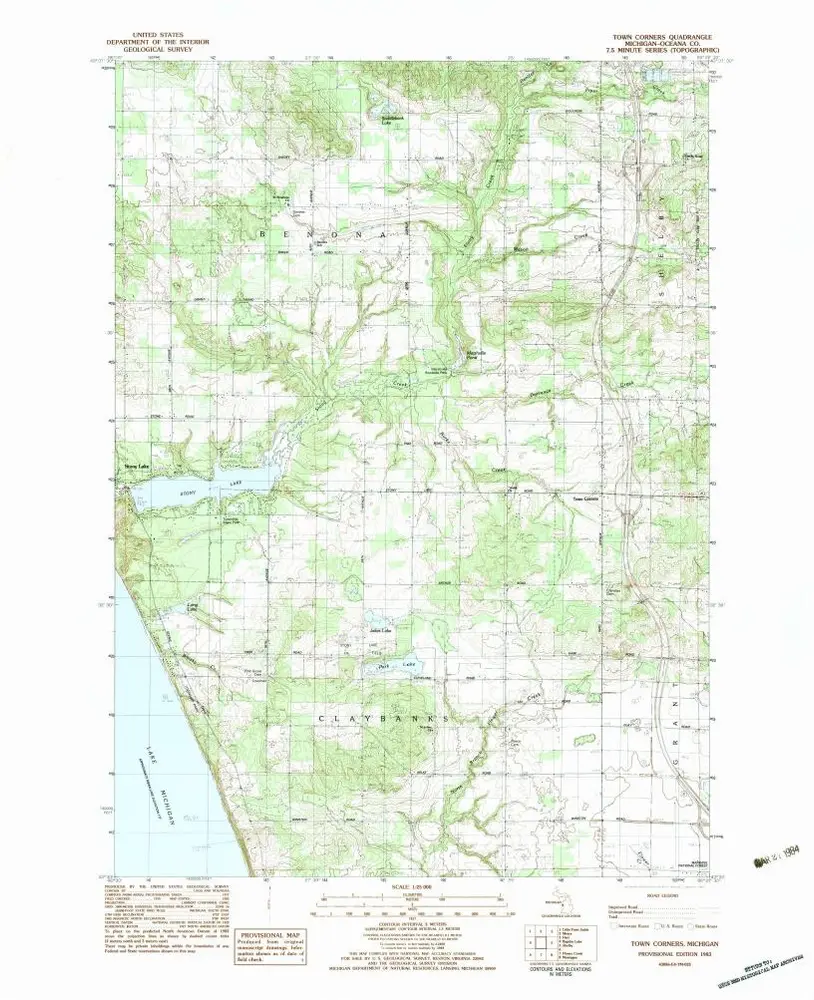
Town Corners
1983
1:25k
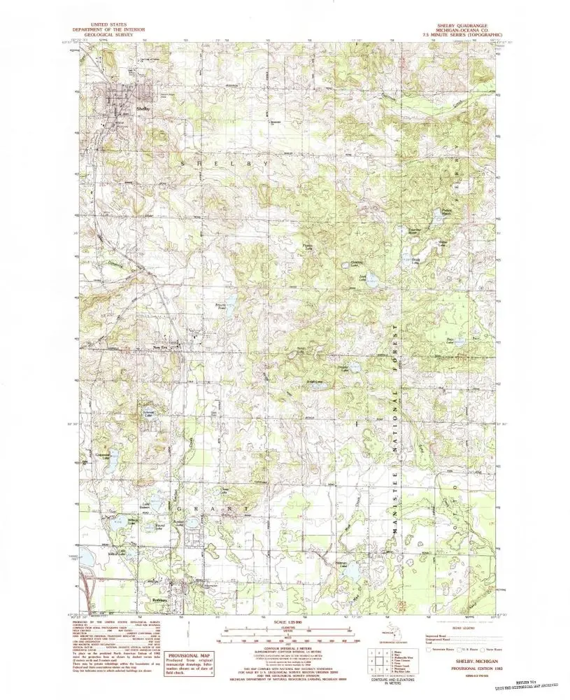
Shelby
1983
1:25k
Hart SE
1931
1:32k
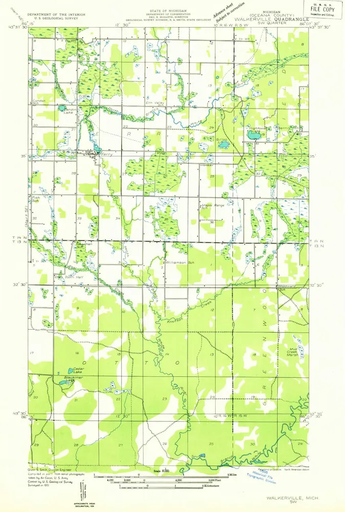
Walkerville SW
1931
1:32k
Geschichte