Projekt
Wspólnota
Aktualności
Moja aplikacja
Moje mapy
编目地图
Frederick SE
Wyświetlanie na zewnętrznej stronie internetowej
Zobacz zdigitalizowane
机构:
United States Geological Survey
完整标题:
Frederick SE
描述:
1984
发布日期:
1985
地图比例尺:
1:24 000
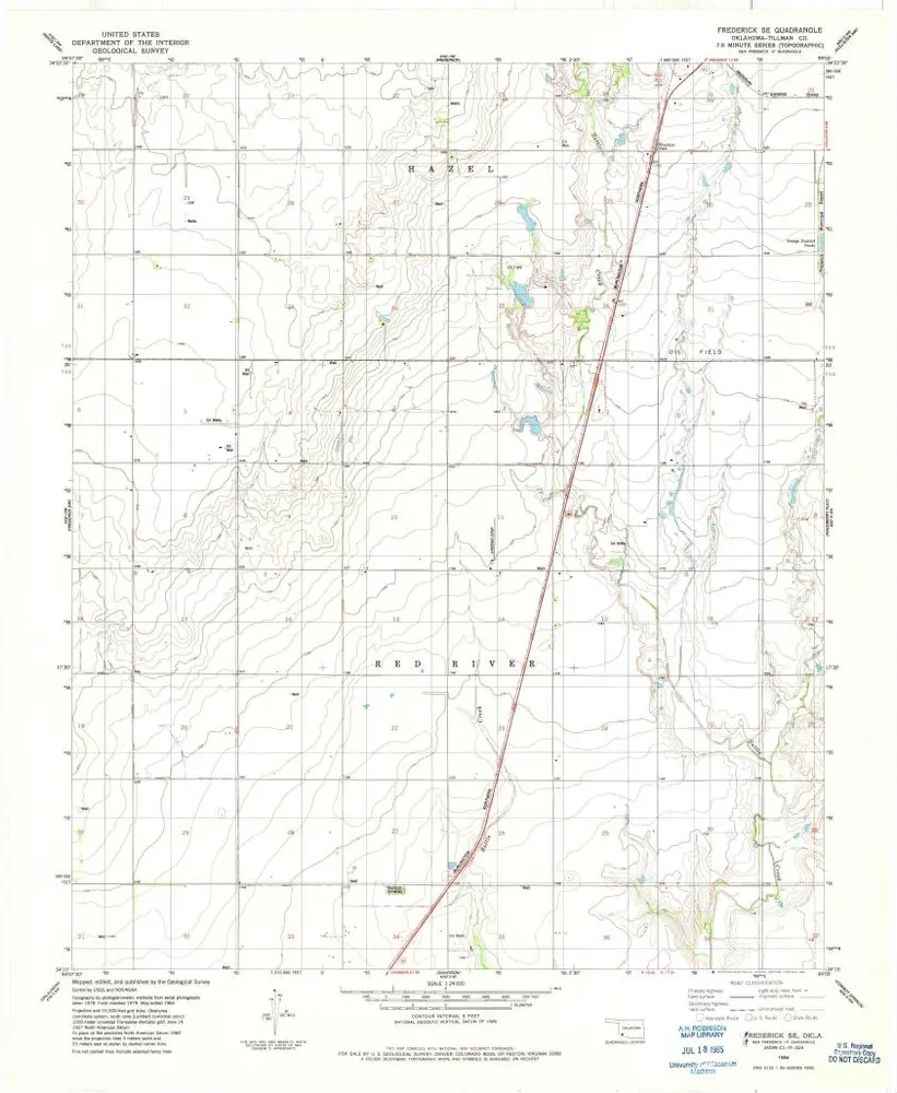
Frederick SE
1984
1:24k
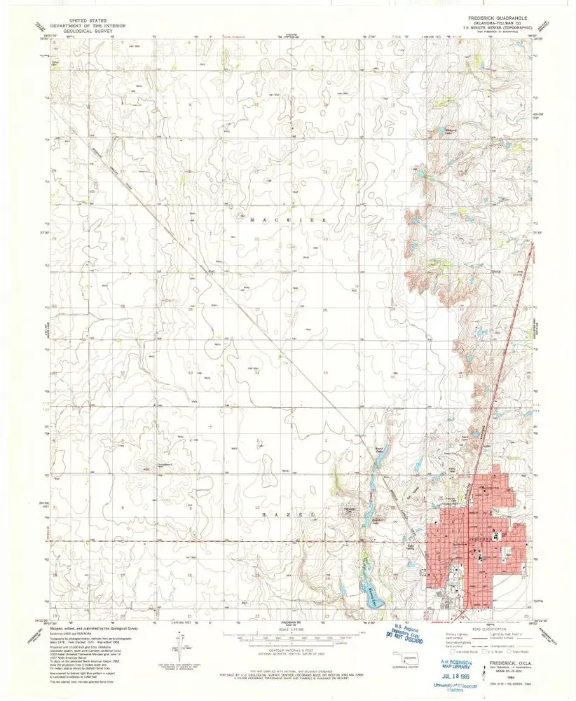
Frederick
1984
1:24k
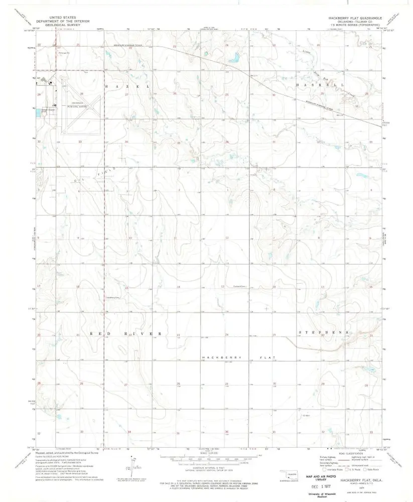
Hackberry Flat
1974
1:24k
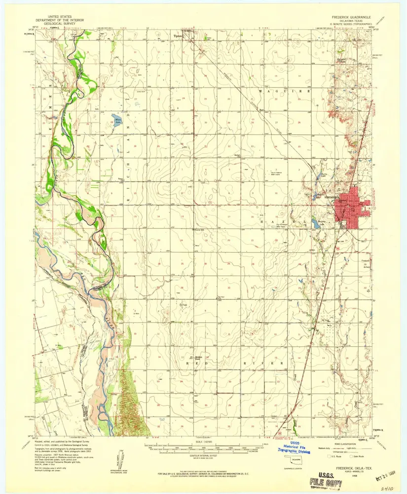
Frederick
1958
1:63k
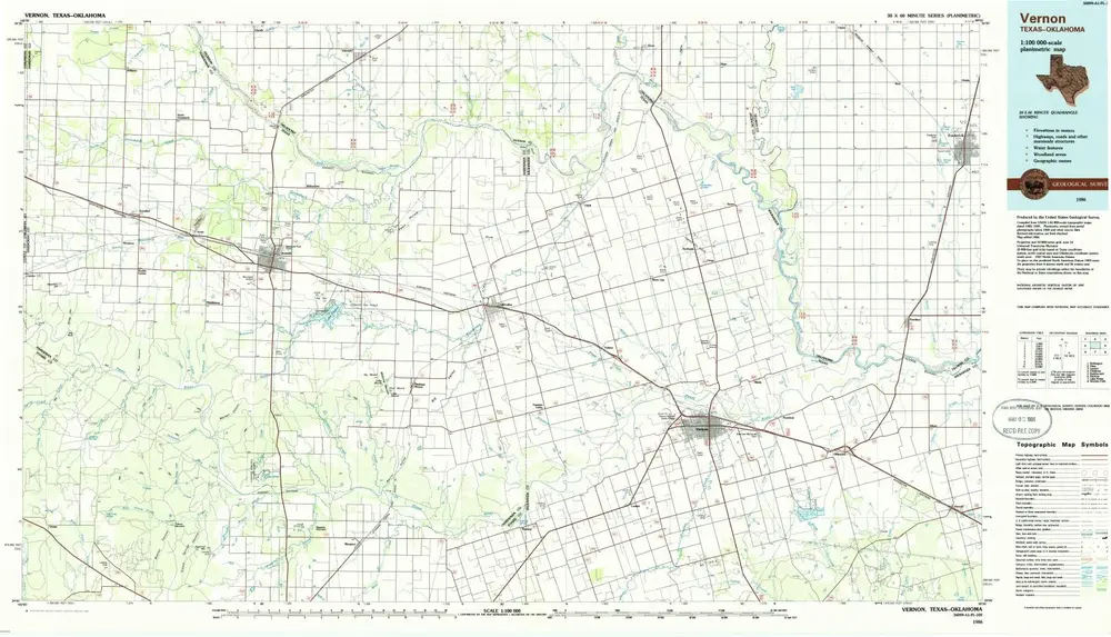
Vernon
1986
1:100k
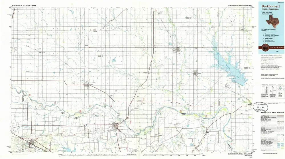
Burkburnett
1985
1:100k
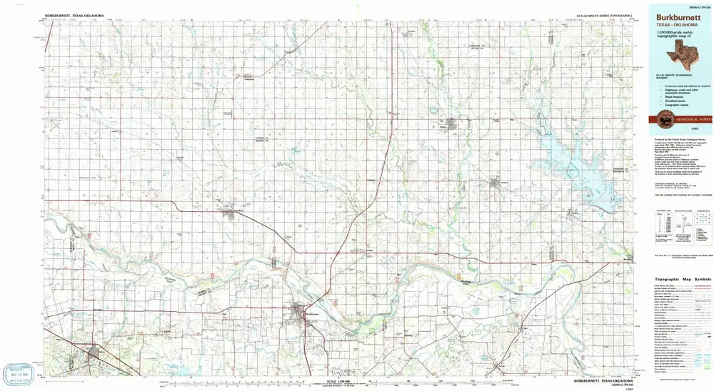
Burkburnett
1985
1:100k
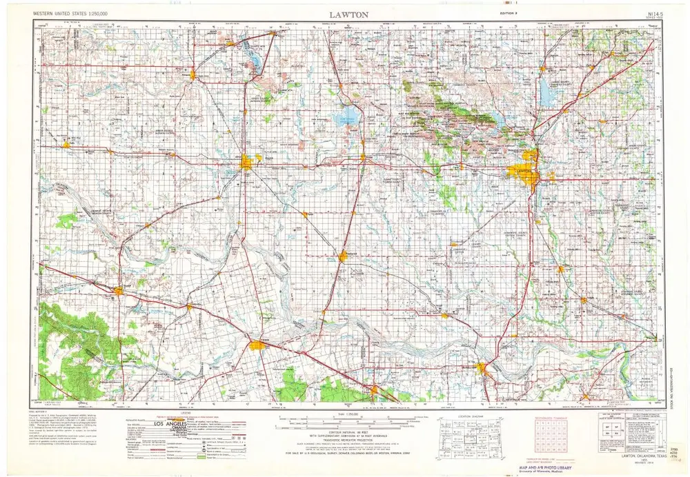
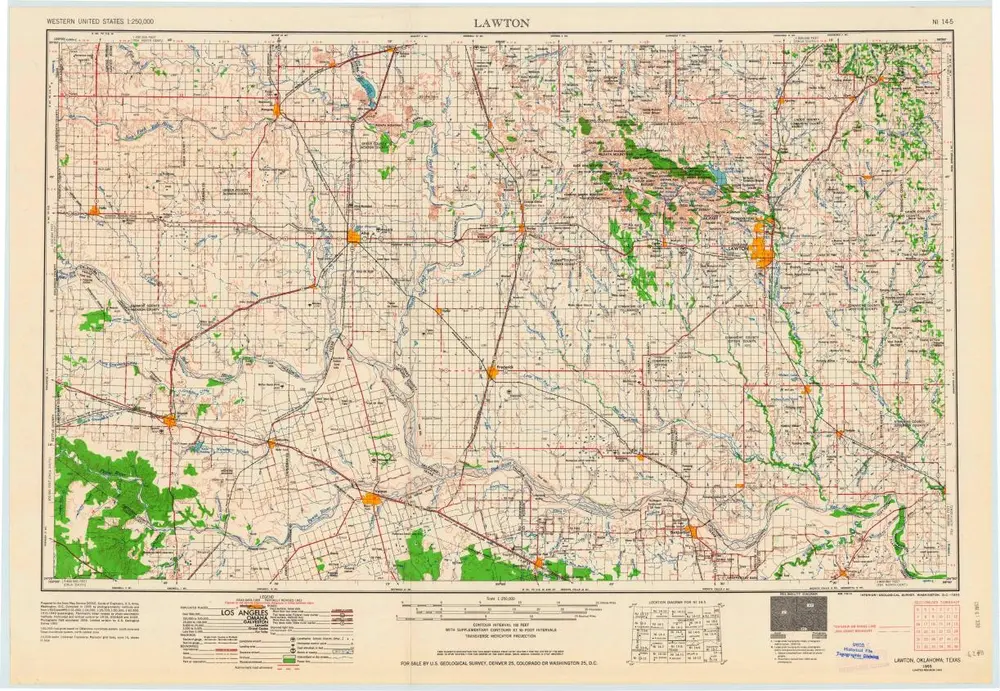
Lawton
1955
1:250k
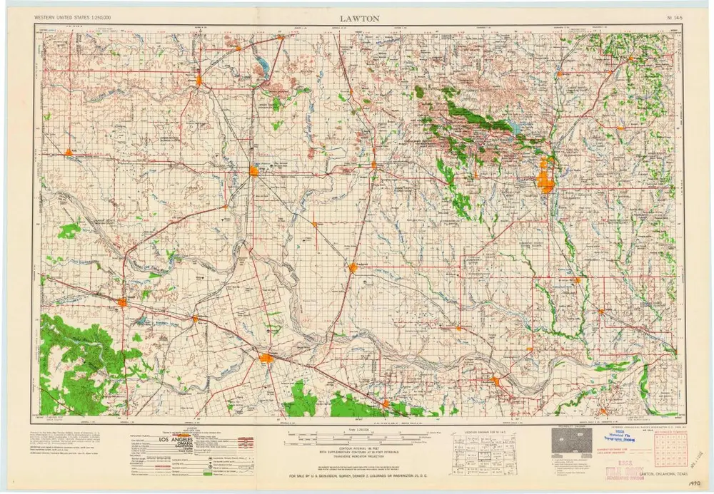
Lawton
1955
1:250k
Lawton
1955
1:250k
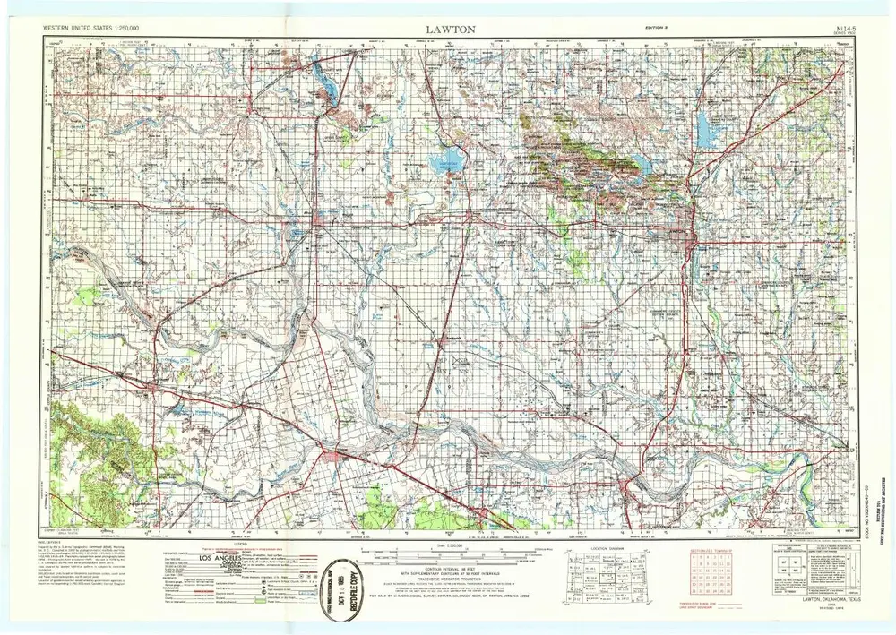
Lawton
1955
1:250k
历史