Katalogisierte Karte
Frenchtown

Einrichtung:United States Geological Survey
Vollständiger Titel:Frenchtown
Jahr der Abbildung:1955
Veröffentlichungsdatum:1972
Maßstab der Karte:1:24 000
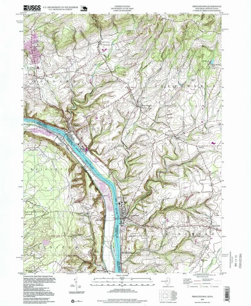
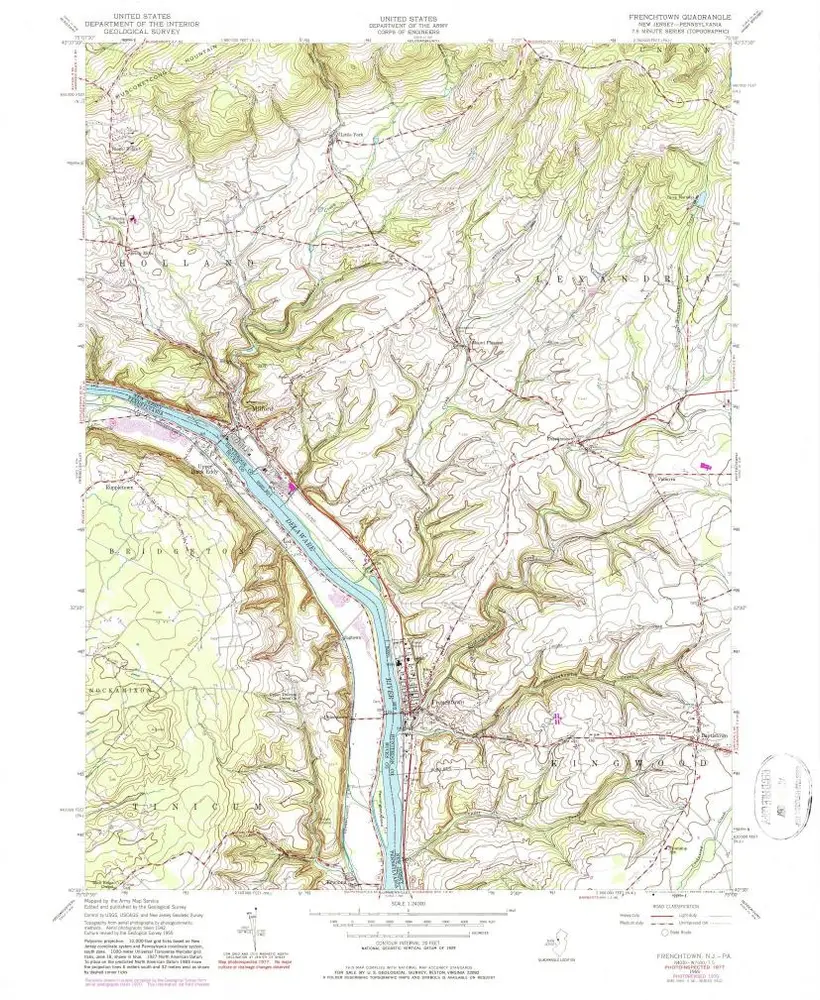
Frenchtown
1997
1:24k
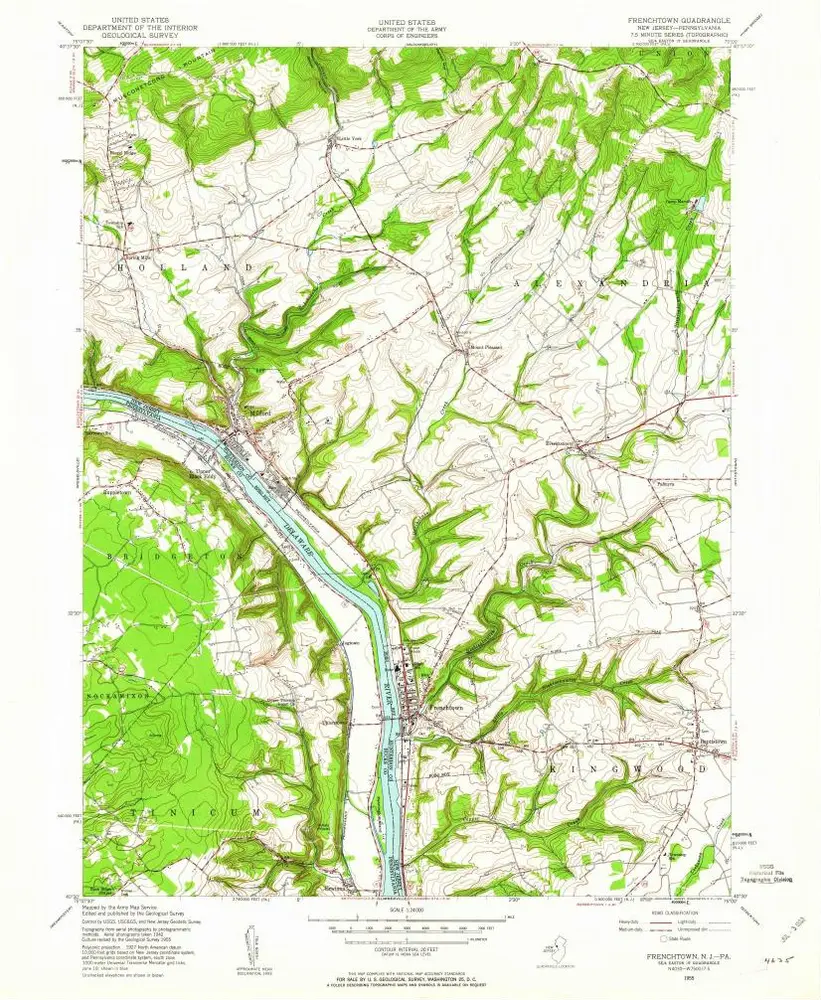
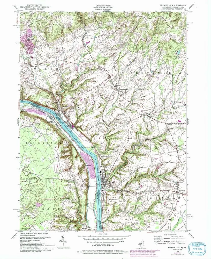
Frenchtown
1955
1:24k
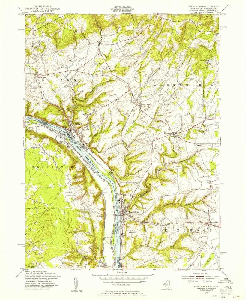
Frenchtown
1955
1:24k
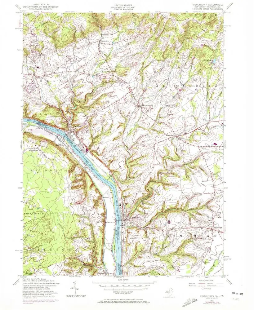
Frenchtown
1955
1:24k
Frenchtown
1955
1:24k
Frenchtown
1955
1:24k
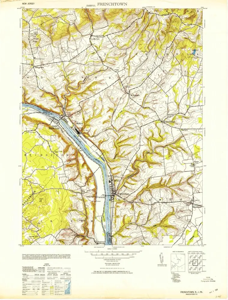
Frenchtown
1953
1:24k
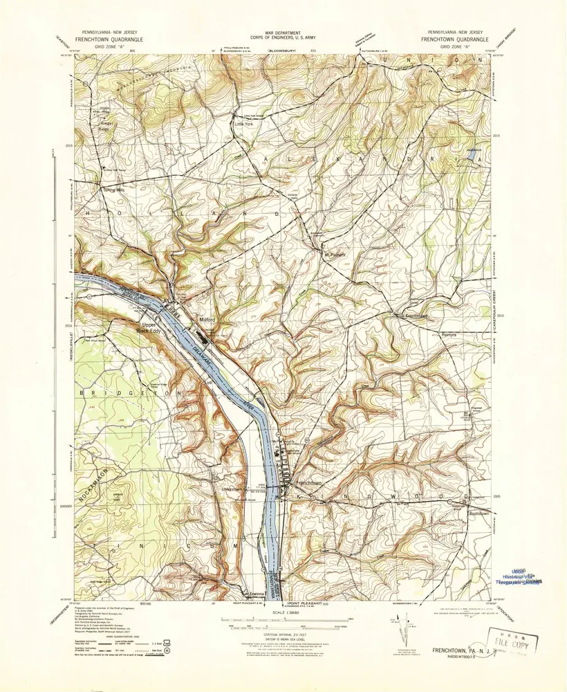
Frenchtown
1943
1:32k
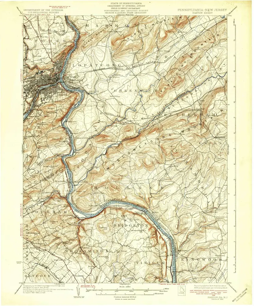
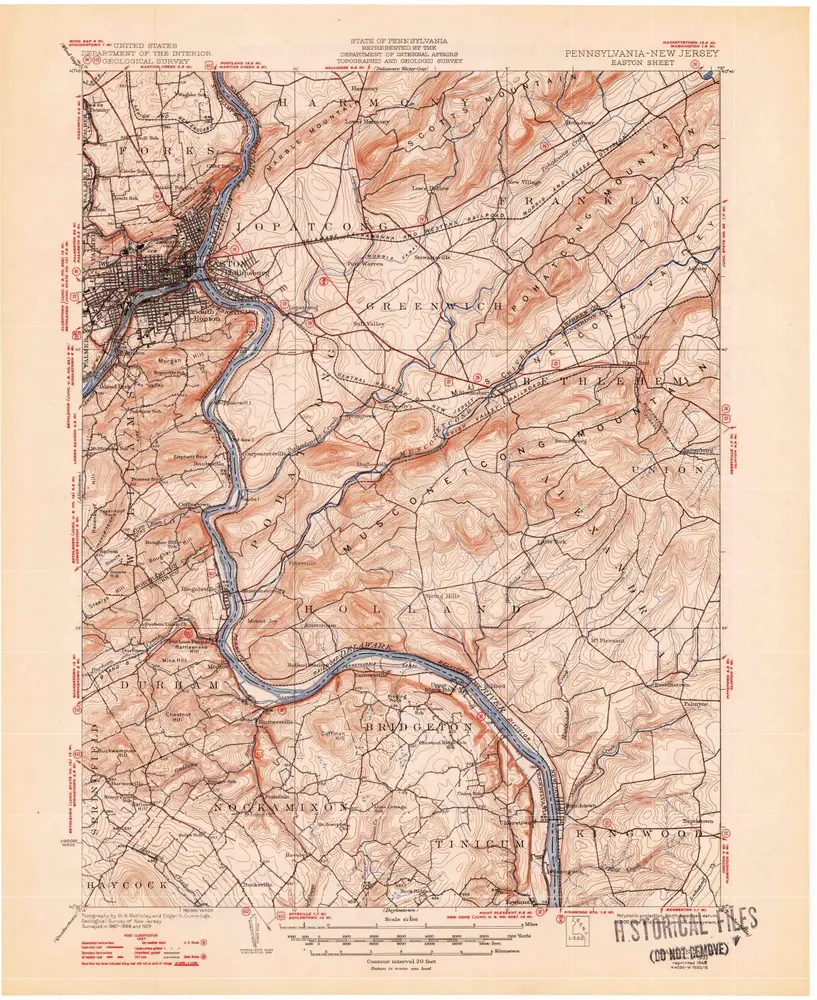
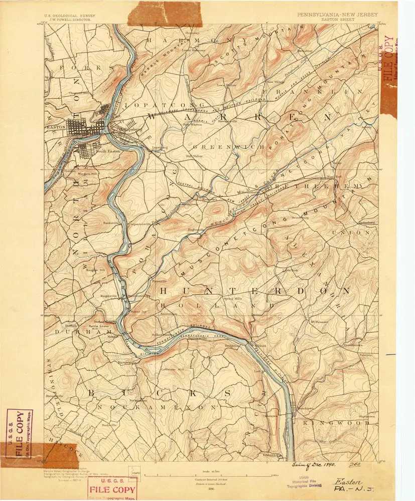
Easton
1932
1:63k
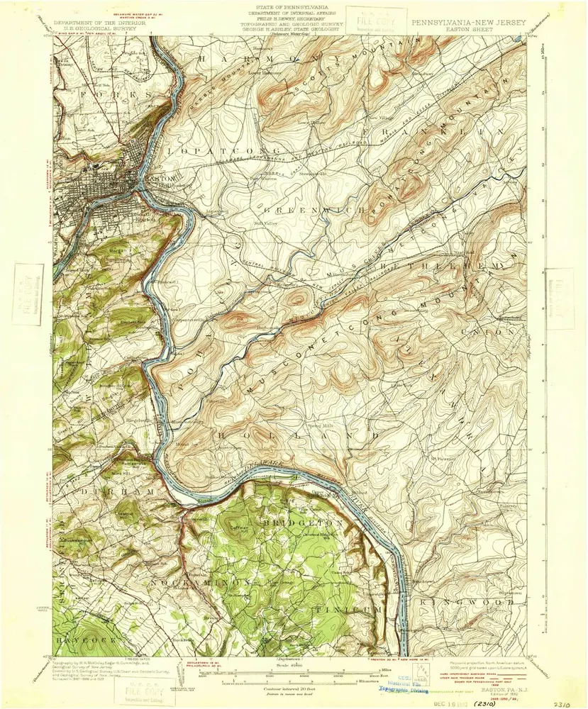
Easton
1932
1:63k
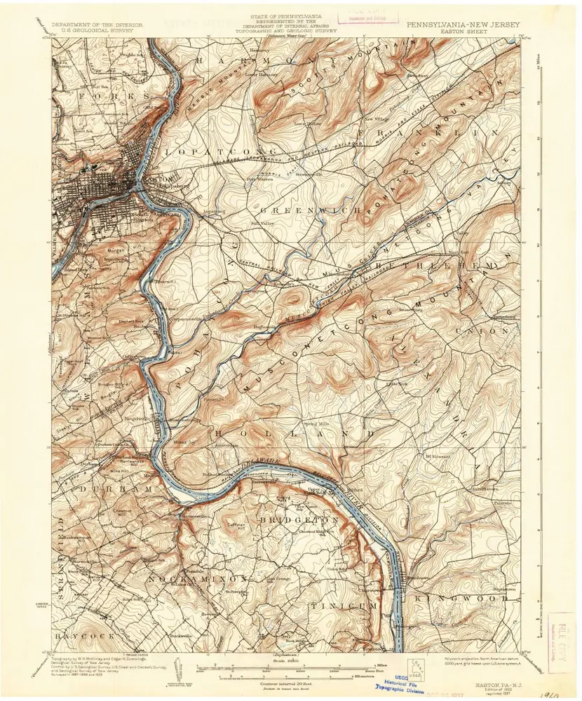
Easton
1932
1:63k
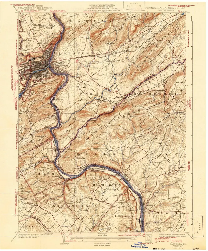
Easton
1932
1:63k
Easton
1932
1:63k
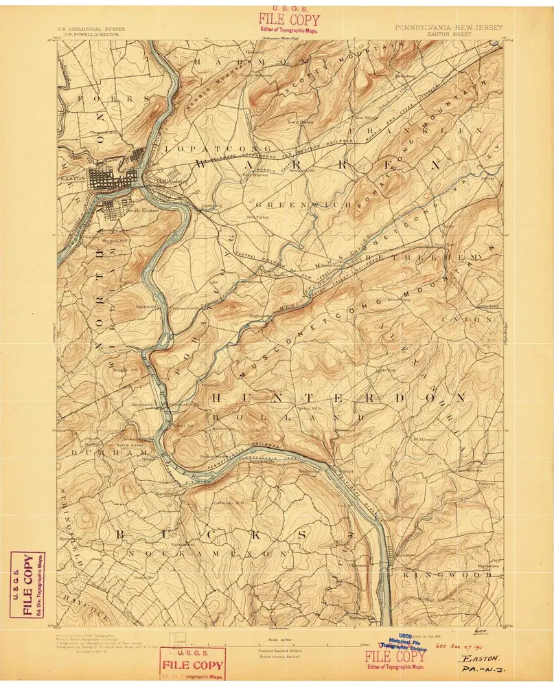
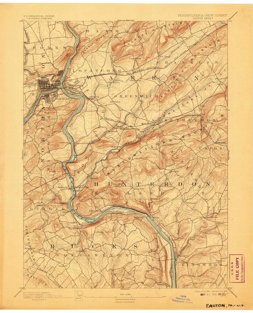
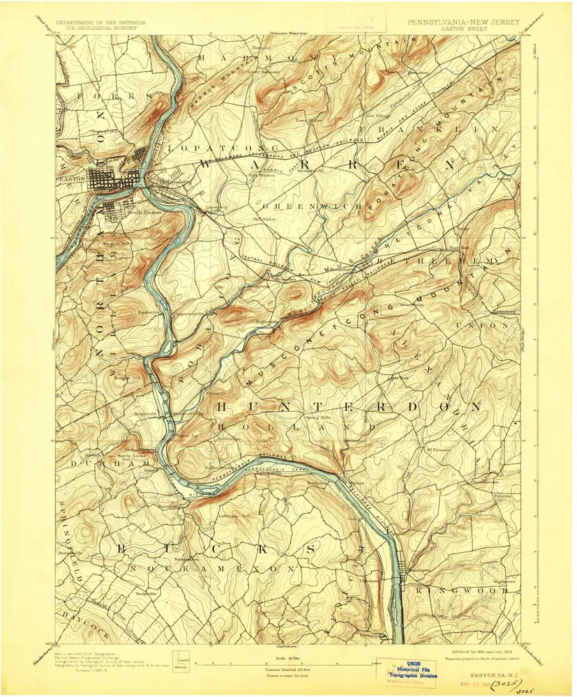
Easton
1891
1:63k
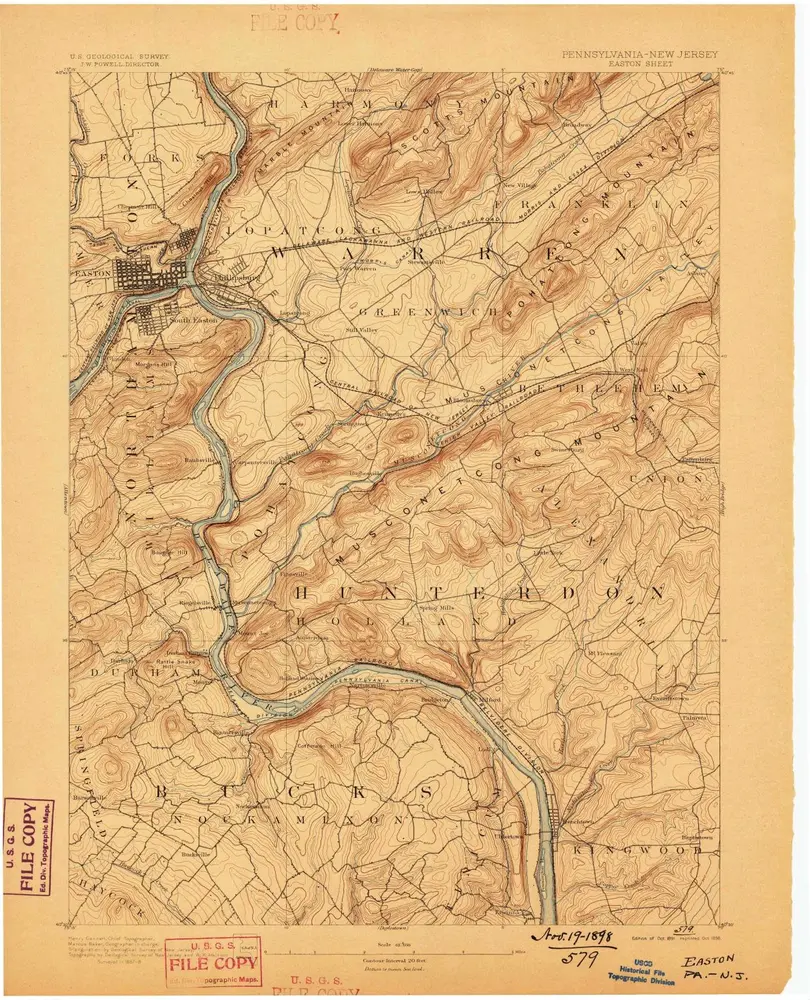
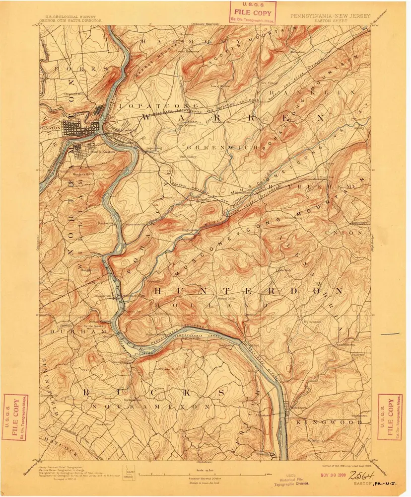
Easton
1891
1:63k
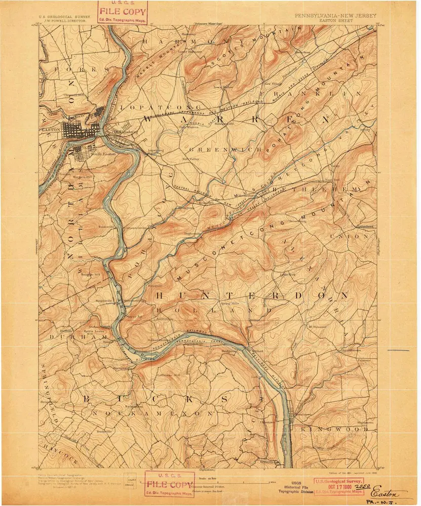
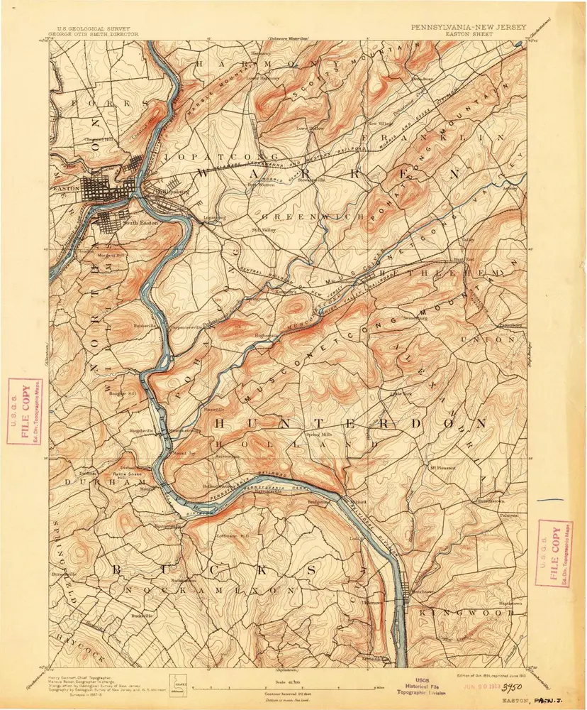
Easton
1891
1:63k
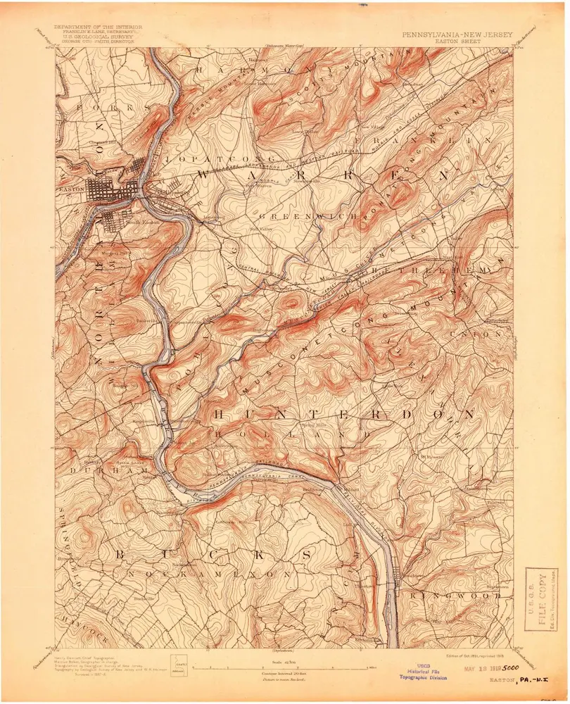
Easton
1891
1:63k
Easton
1891
1:63k
Easton
1891
1:63k
Easton
1891
1:63k
Easton
1891
1:63k
Easton
1890
1:63k