Projekt
Wspólnota
Aktualności
Moja aplikacja
Moje mapy
Katalogisierte Karte
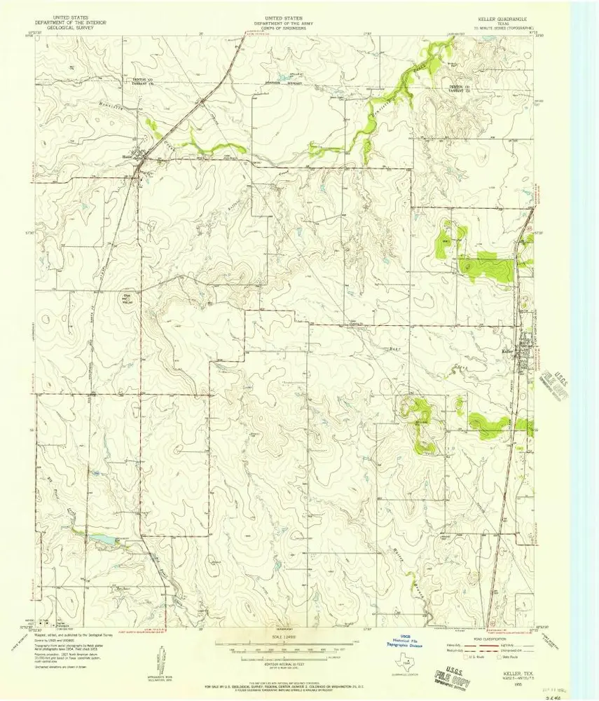
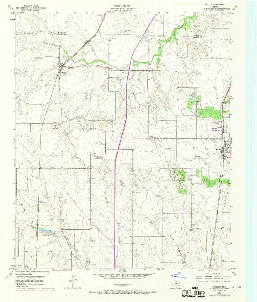
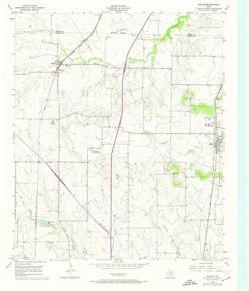
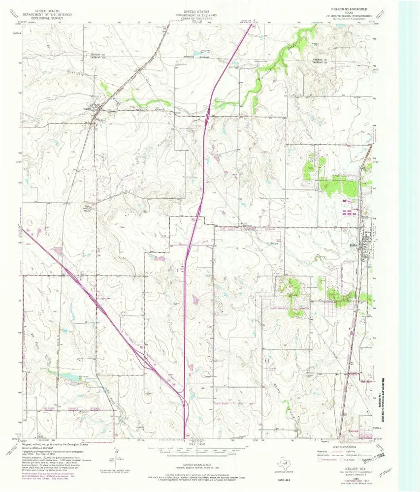
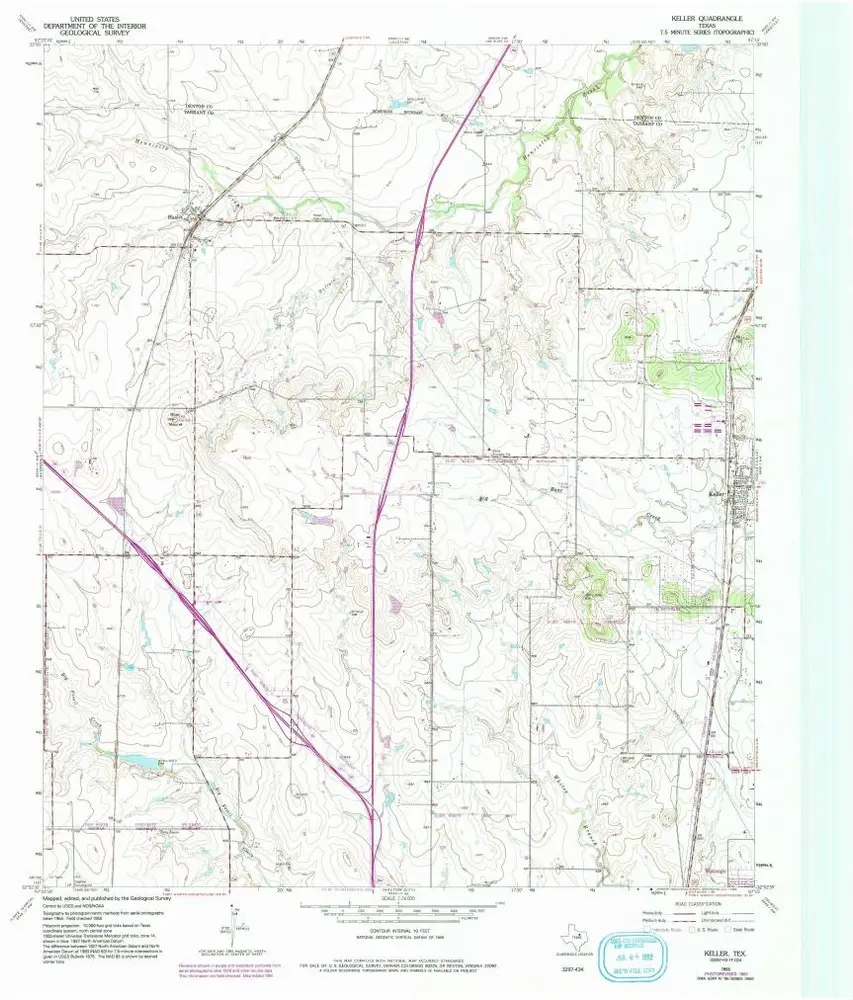
Keller
Wyświetlanie na zewnętrznej stronie internetowej
Zobacz zdigitalizowane
Einrichtung:
United States Geological Survey
Vollständiger Titel:
Keller
Jahr der Abbildung:
1955
Veröffentlichungsdatum:
1956
Maßstab der Karte:
1:24 000
Keller
1955
1:24k
Keller
1955
1:24k
Keller
1955
1:24k
Keller
1955
1:24k
Keller
1955
1:24k
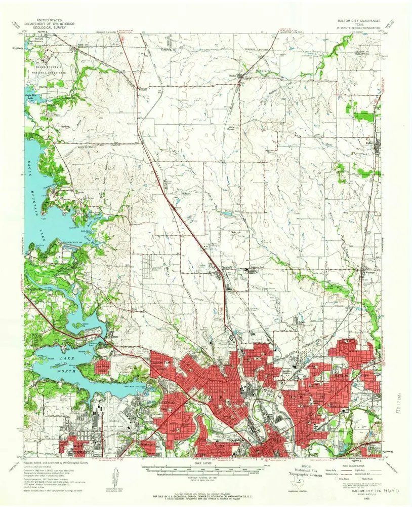
Haltom City
1955
1:63k
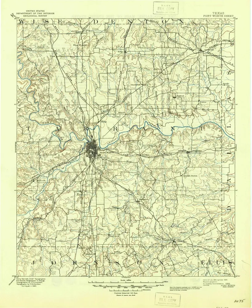
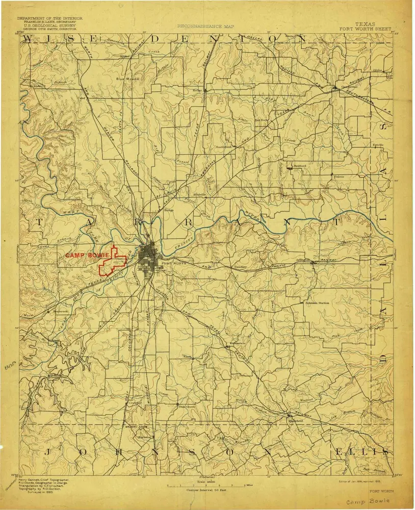
Fort Worth
1894
1:125k
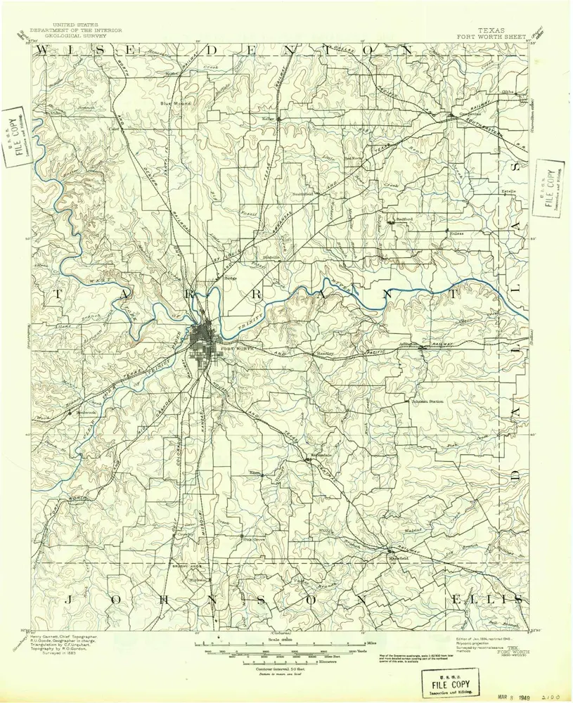
Fort Worth
1894
1:125k
Fort Worth
1894
1:125k
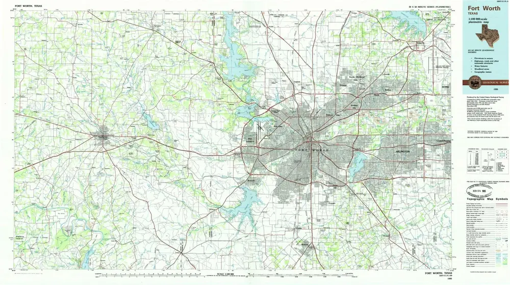
Fort Worth
1985
1:100k
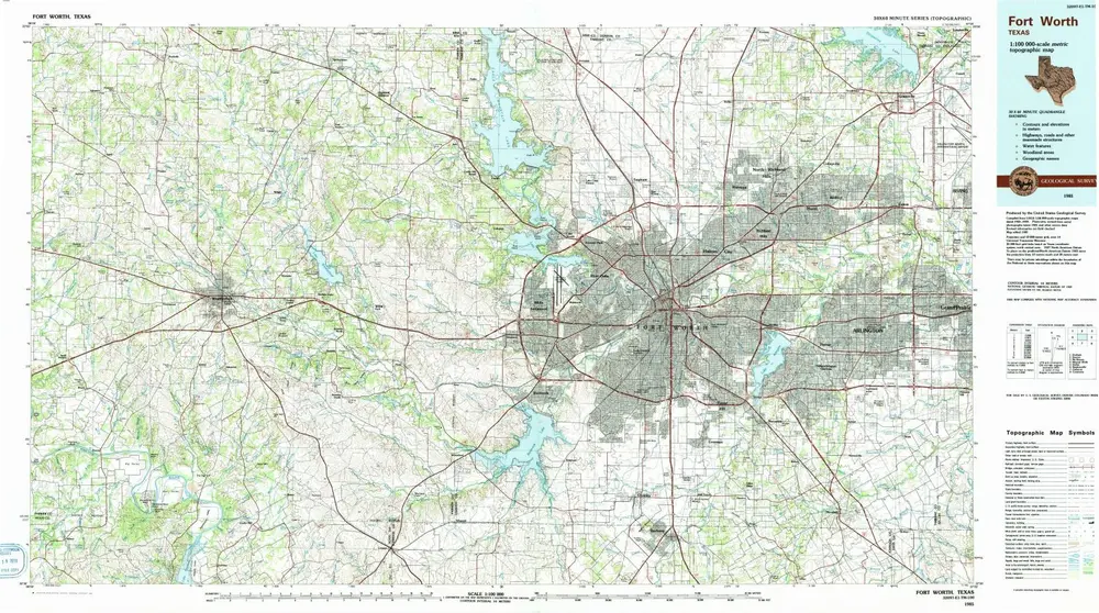
Fort Worth
1985
1:100k
Geschichte