Projekt
Wspólnota
Aktualności
Moja aplikacja
Moje mapy
Katalogisierte Karte
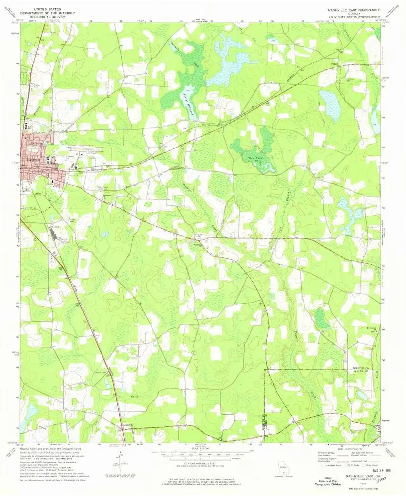
Nashville East
Wyświetlanie na zewnętrznej stronie internetowej
Zobacz zdigitalizowane
Einrichtung:
United States Geological Survey
Vollständiger Titel:
Nashville East
Jahr der Abbildung:
1978
Veröffentlichungsdatum:
1978
Maßstab der Karte:
1:24 000
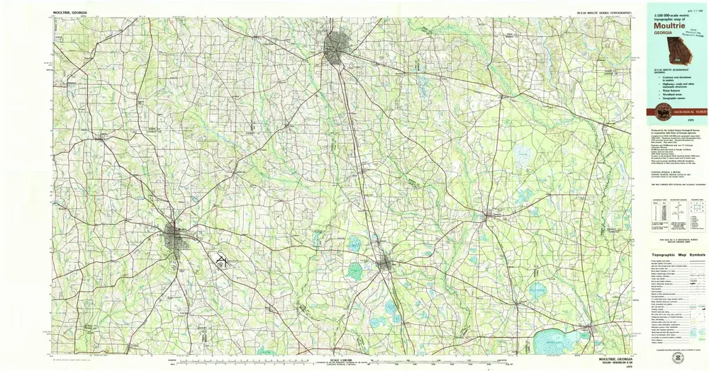
Moultrie
1979
1:100k
Nashville East
1978
1:24k
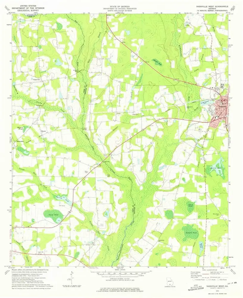
Nashville West
1973
1:24k
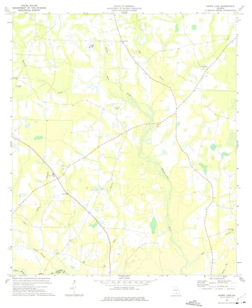
Sapps Lake
1973
1:24k
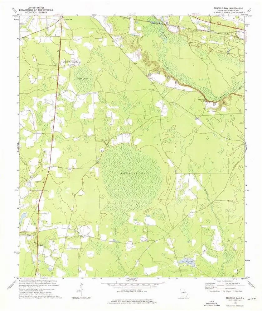
Tenmile Bay
1972
1:24k
Alapaha
1977
1:24k
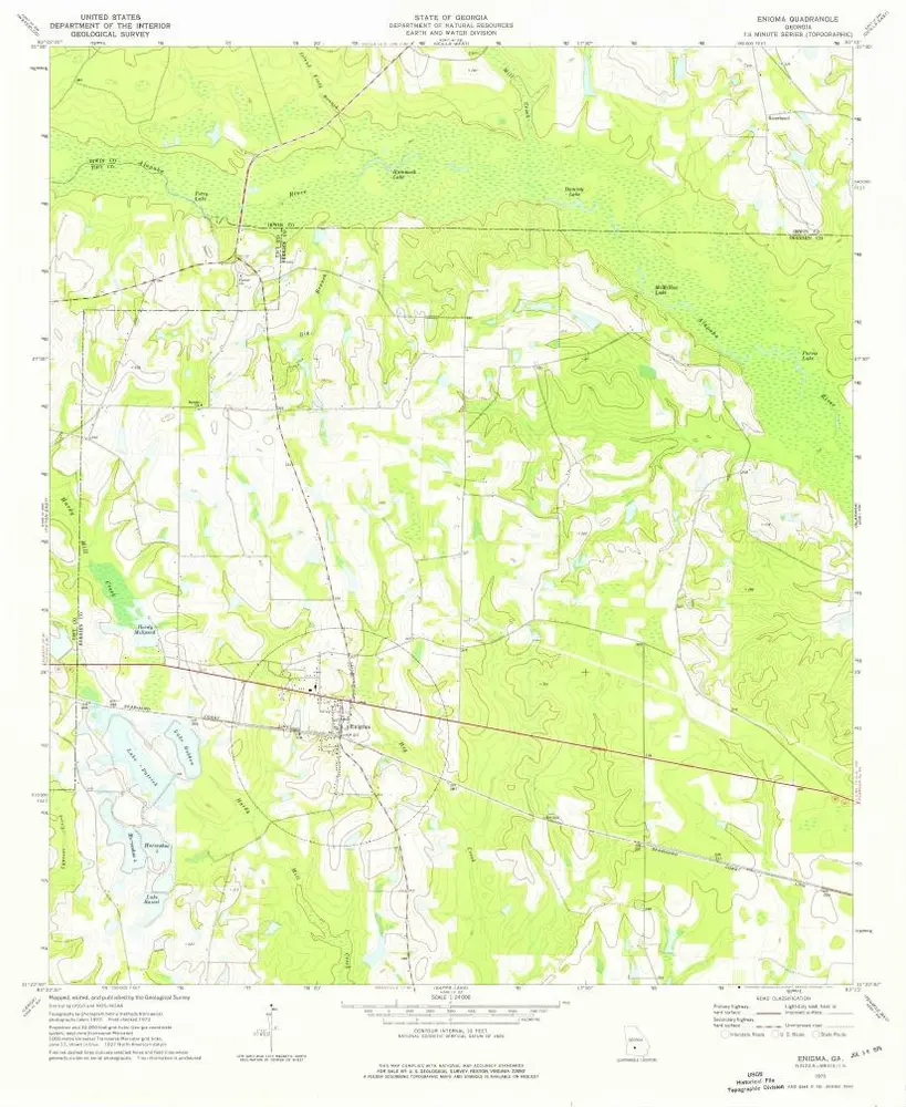
Enigma
1973
1:24k
Enigma
1973
1:24k
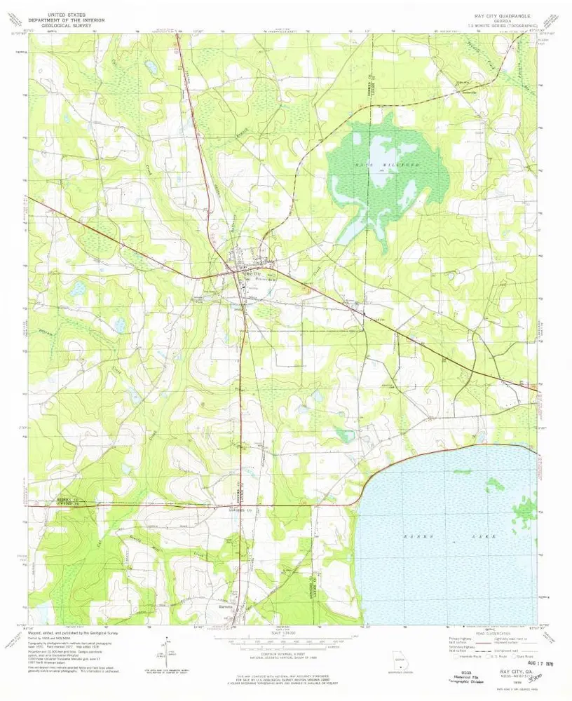
Ray City
1978
1:24k
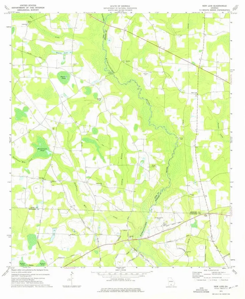
New Lois
1973
1:24k
Geschichte