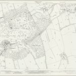
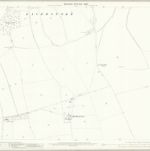
Katalogisierte Karte
Hampshire and Isle of Wight XXV.6 (includes: Laverstoke; Overton) - 25 Inch Map

Einrichtung:National Library of Scotland
Vollständiger Titel:Hampshire and Isle of Wight XXV.6 (includes: Laverstoke; Overton) - 25 Inch Map
Jahr der Abbildung:1908
Veröffentlichungsdatum:1910
Herausgeber:Ordnance Survey
Maßstab der Karte:1:2 500

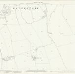
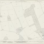
Hampshire & Isle of Wight XXV.NW - OS Six-Inch Map
1909
Ordnance Survey
1:11k

Hampshire & Isle of Wight XXV.NW - OS Six-Inch Map
1894
Ordnance Survey
1:11k
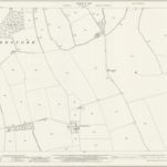
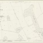
Hampshire and Isle of Wight XVII.14 (includes: Laverstoke; Overton; Whitchurch) - 25 Inch Map
1941
Ordnance Survey
1:3k
Hampshire and Isle of Wight XVII.14 (includes: Laverstoke; Overton; Whitchurch) - 25 Inch Map
1909
Ordnance Survey
1:3k
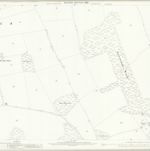
Hampshire and Isle of Wight XXV.2 (includes: Laverstoke; Overton) - 25 Inch Map
1942
Ordnance Survey
1:3k
Hampshire and Isle of Wight XXV.2 (includes: Laverstoke; Overton) - 25 Inch Map
1908
Ordnance Survey
1:3k
Hampshire and Isle of Wight XXV.2 (includes: Laverstoke; Overton) - 25 Inch Map
1894
Ordnance Survey
1:3k
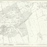
Hampshire and Isle of Wight XXV.6 (includes: Laverstoke; Overton) - 25 Inch Map
1942
Ordnance Survey
1:3k
Hampshire and Isle of Wight XXV.6 (includes: Laverstoke; Overton) - 25 Inch Map
1908
Ordnance Survey
1:3k
Hampshire and Isle of Wight XXV.6 (includes: Laverstoke; Overton) - 25 Inch Map
1894
Ordnance Survey
1:3k