Projekt
Wspólnota
Aktualności
Moja aplikacja
Moje mapy
Mapa catalogado
Kaneohe
Wyświetlanie na zewnętrznej stronie internetowej
View digitized
Institución:
United States Geological Survey
Título completo:
Kaneohe
Año de ilustración:
1968
Fecha de publicación:
1977
Escala del mapa:
1:24 000
Kaneohe
1998
1:24k
Kaneohe
1983
1:24k
Kaneohe
1983
1:24k
Kaneohe
1968
1:24k
Kaneohe
1968
1:24k
Kaneohe
1959
1:24k
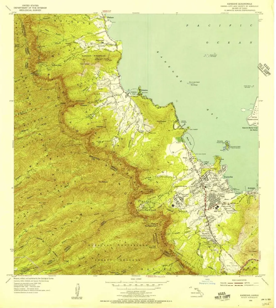
Kaneohe
1954
1:24k
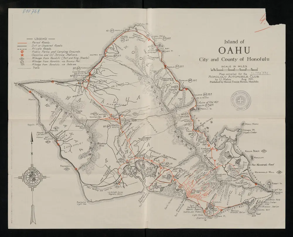
Island of Oahu, city and county of Honolulu, Territory of Hawaii
1921
Honolulu : Hawaii Tourist Bureau
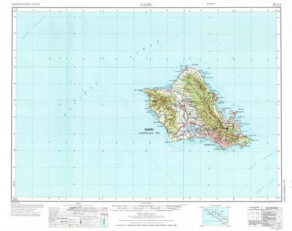
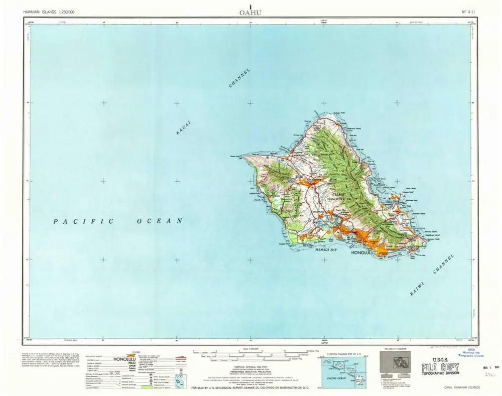
Oahu
1970
1:250k
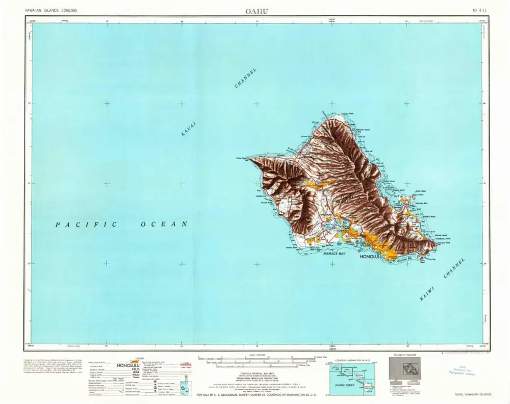
Oahu
1970
1:250k
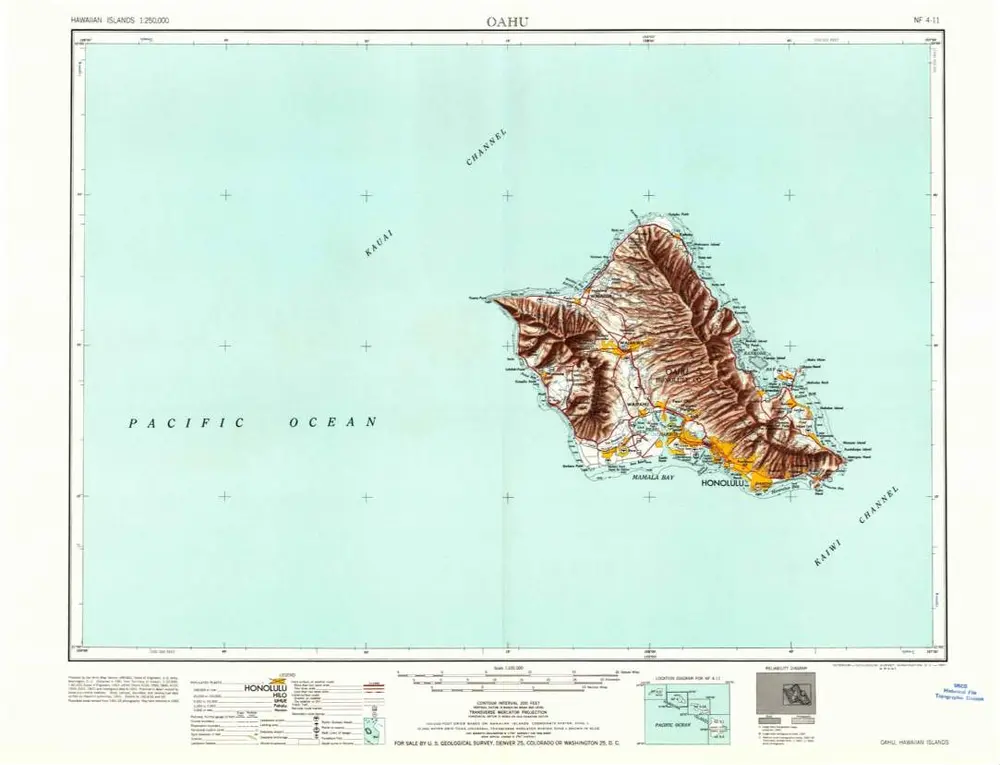
Oahu
1965
1:250k
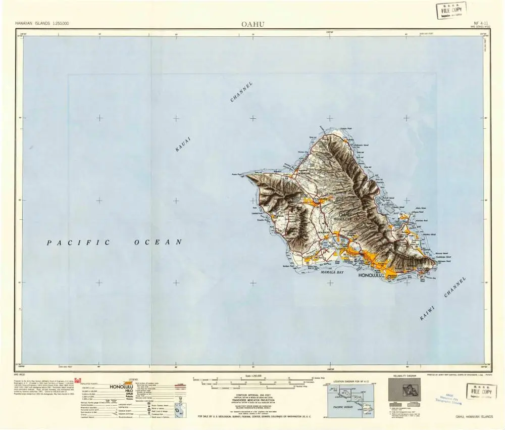
Oahu
1965
1:250k
Oahu
1961
1:250k
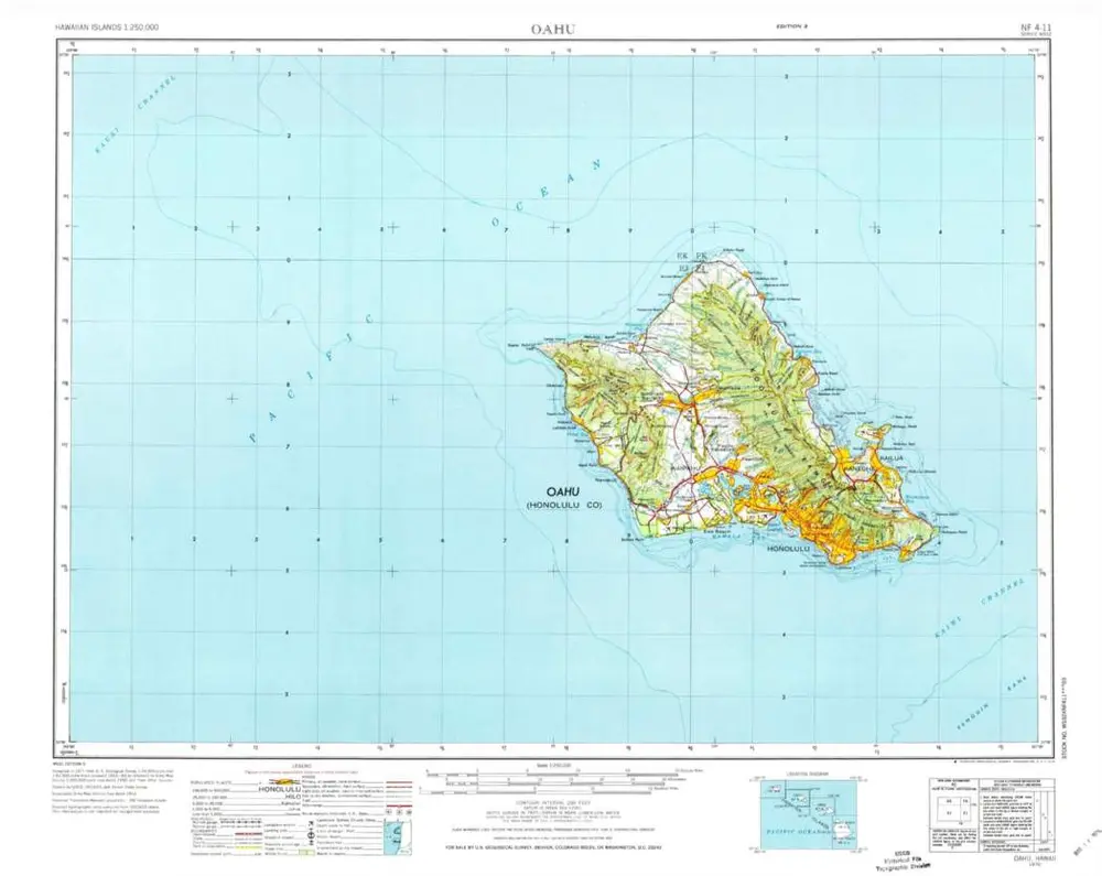
Oahu
1954
1:250k
Historia