Projekt
Wspólnota
Aktualności
Moja aplikacja
Moje mapy
Katalogisierte Karte
Nahunta
Wyświetlanie na zewnętrznej stronie internetowej
Zobacz zdigitalizowane
Einrichtung:
United States Geological Survey
Vollständiger Titel:
Nahunta
Jahr der Abbildung:
1917
Veröffentlichungsdatum:
1958
Maßstab der Karte:
1:62 500
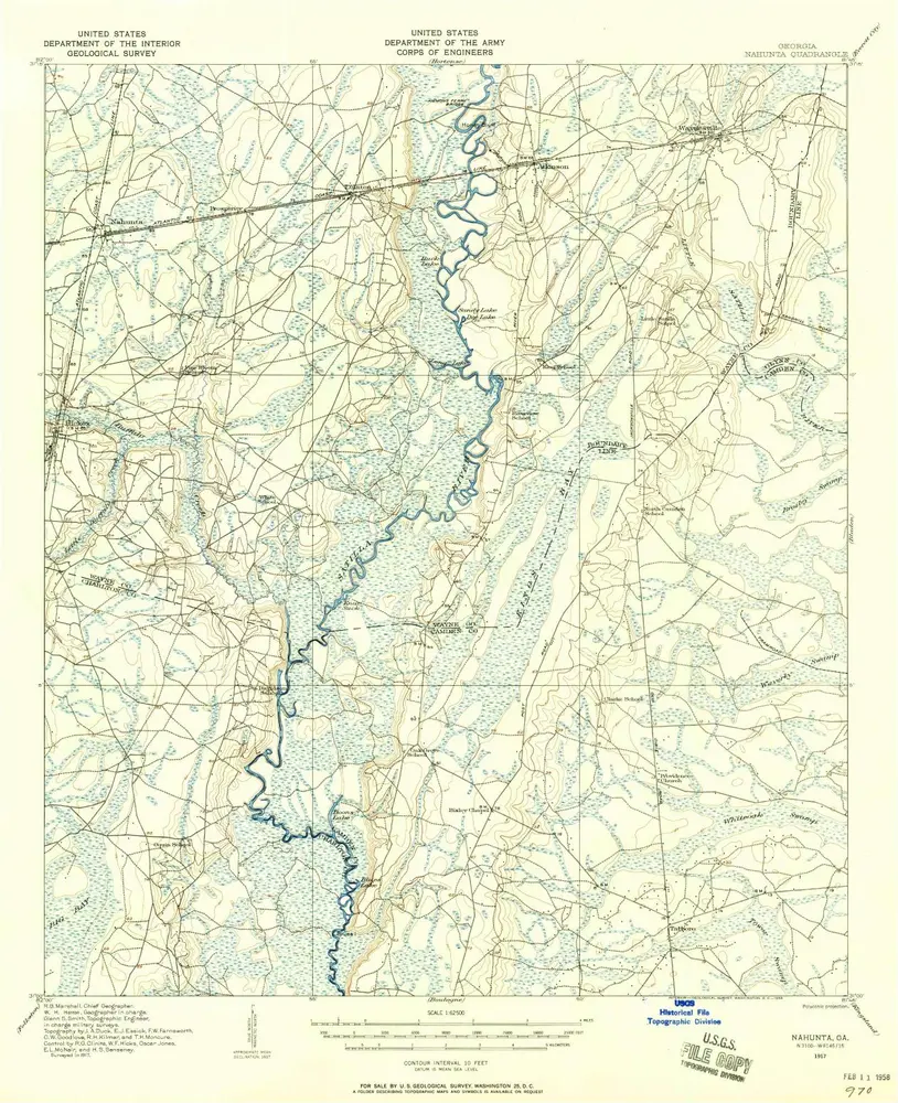
Nahunta
1917
1:63k
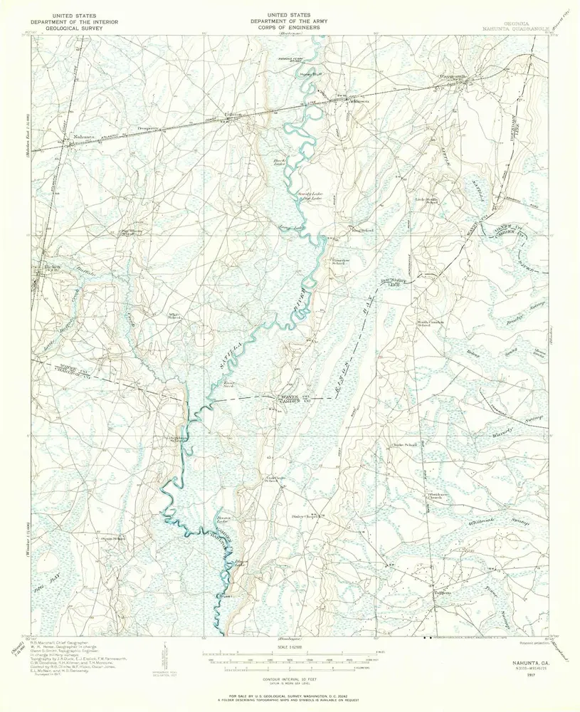
Nahunta
1917
1:63k
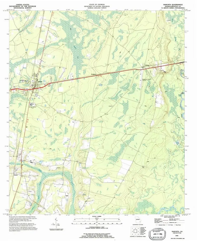
Nahunta
1993
1:24k
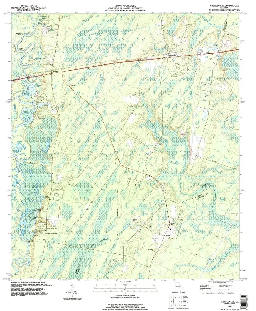
Waynesville
1993
1:24k
Nahunta
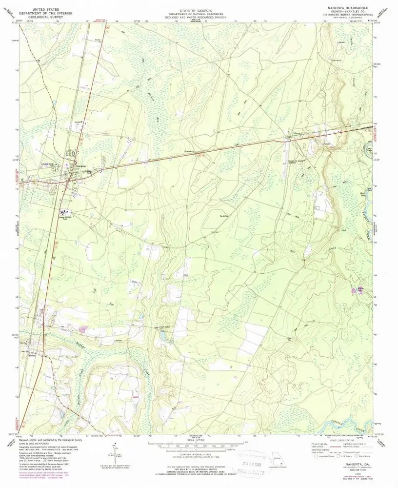
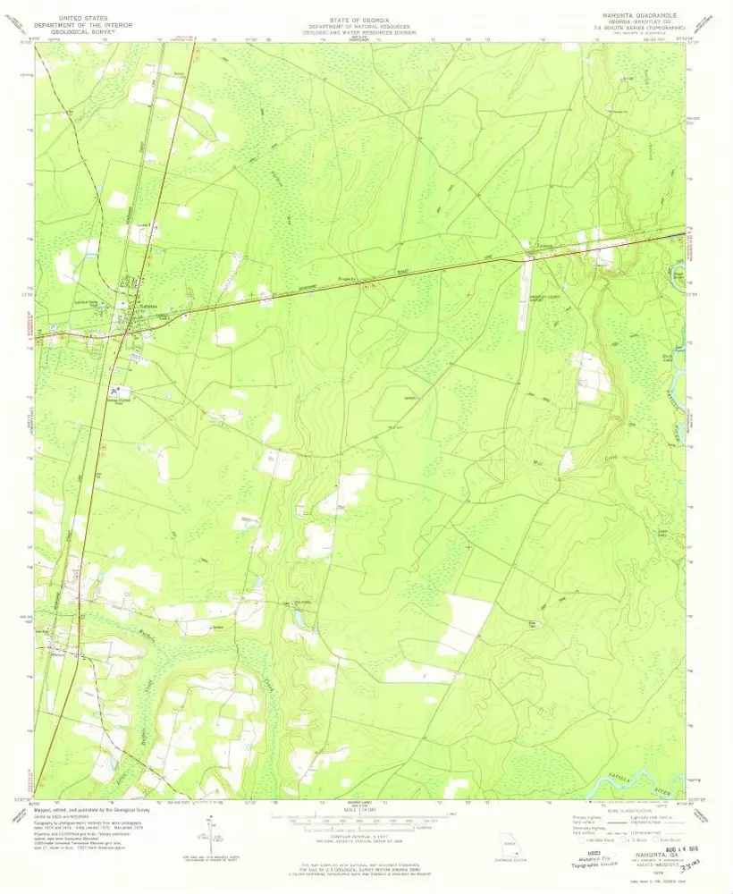
1978
1:24k
Nahunta
1978
1:24k
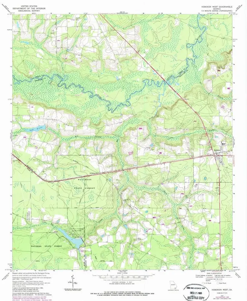
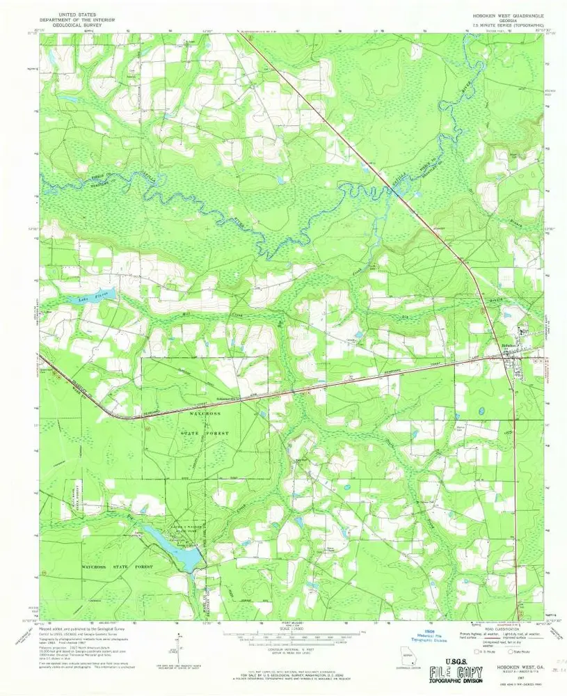
Hoboken West
1967
1:24k
Hoboken West
1967
1:24k
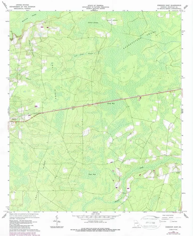
Hoboken East
1966
1:24k
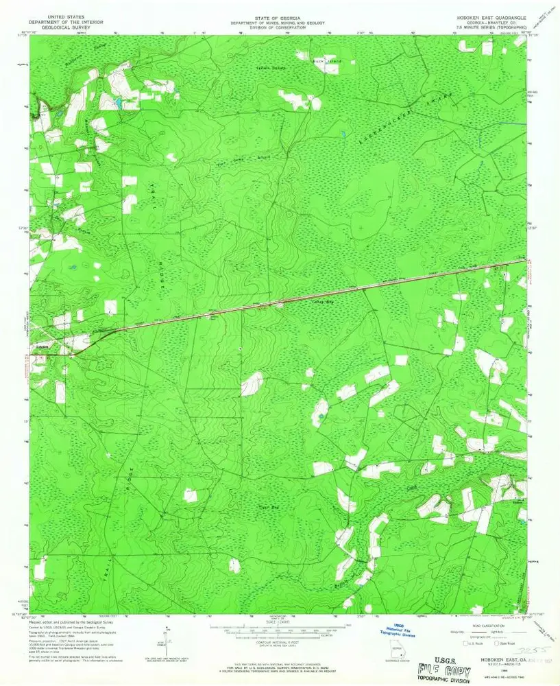
Hoboken East
1966
1:24k
Geschichte