Projekt
Wspólnota
Aktualności
Moja aplikacja
Moje mapy
Katalogisierte Karte
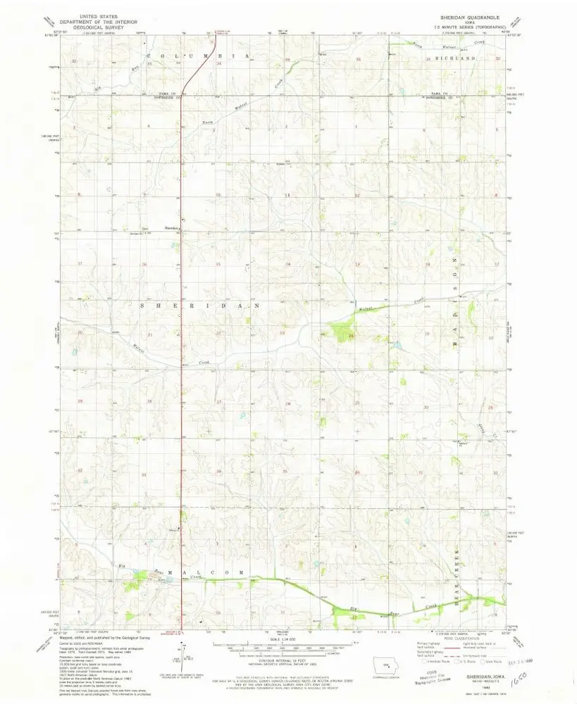
Sheridan
Wyświetlanie na zewnętrznej stronie internetowej
Zobacz zdigitalizowane
Einrichtung:
United States Geological Survey
Vollständiger Titel:
Sheridan
Jahr der Abbildung:
1980
Veröffentlichungsdatum:
1980
Maßstab der Karte:
1:24 000
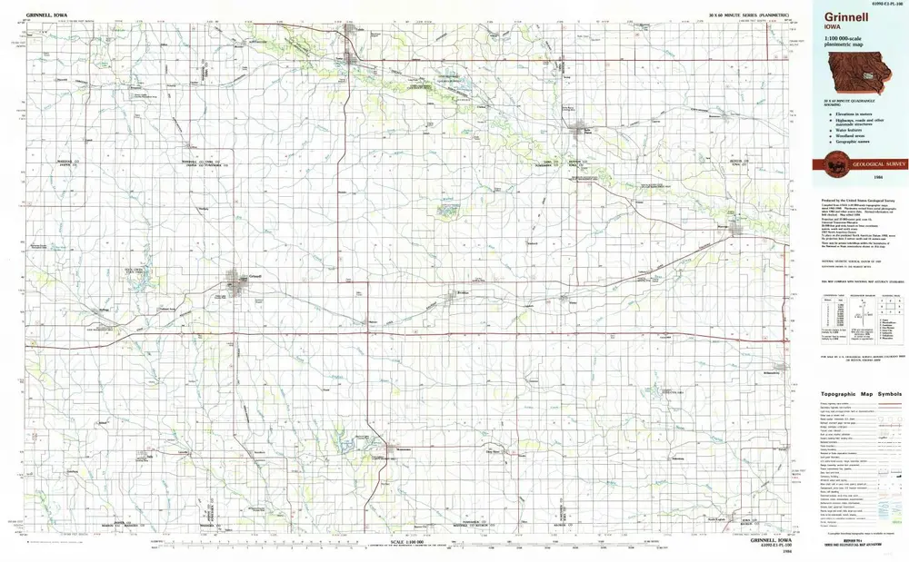
Grinnell
1984
1:100k
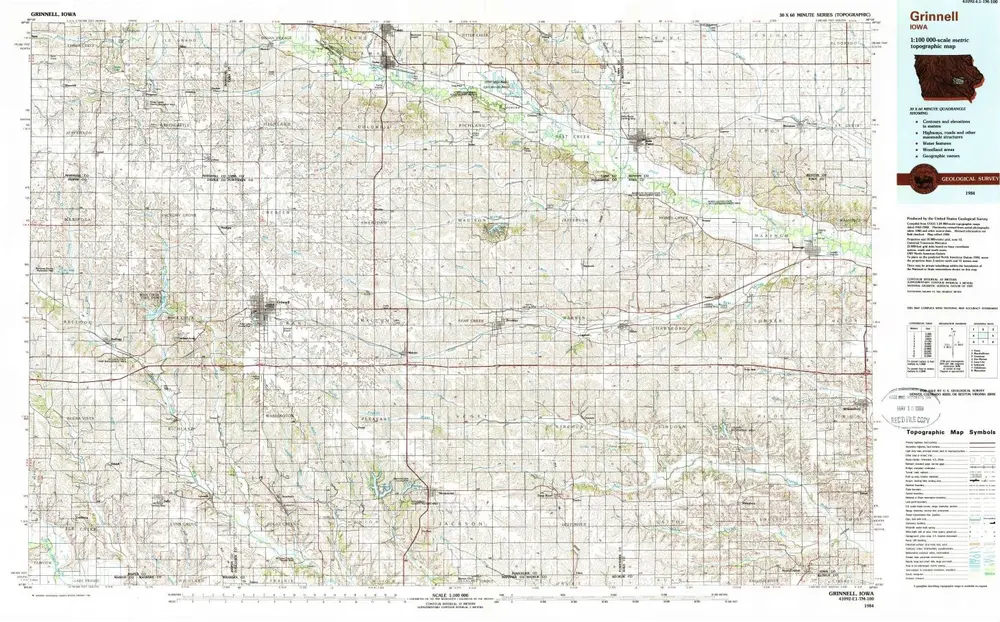
Grinnell
1984
1:100k
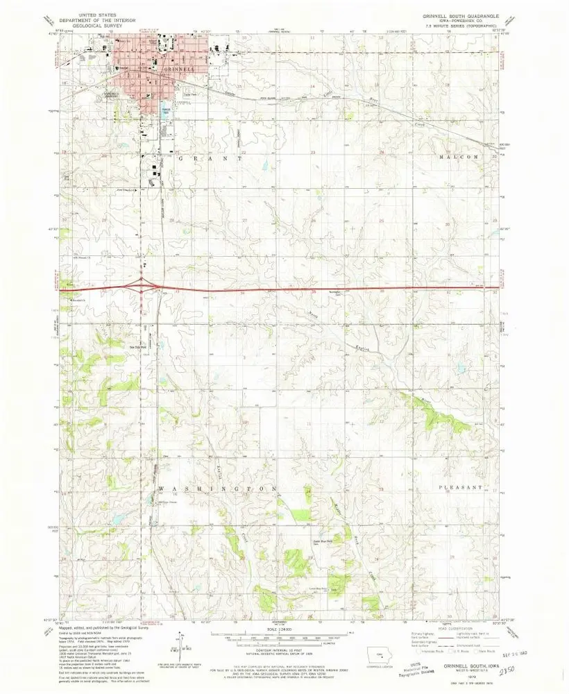
Grinnell South
1979
1:24k
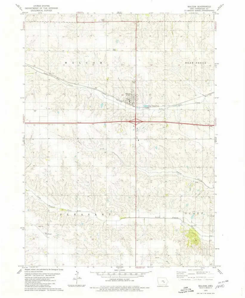
Malcom
1979
1:24k
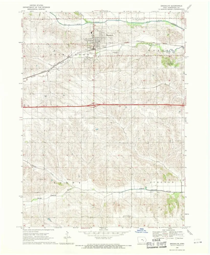
Brooklyn
1968
1:24k
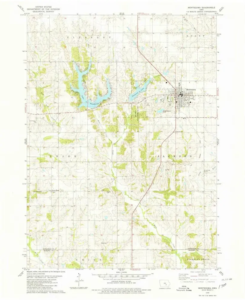
Montezuma
1979
1:24k
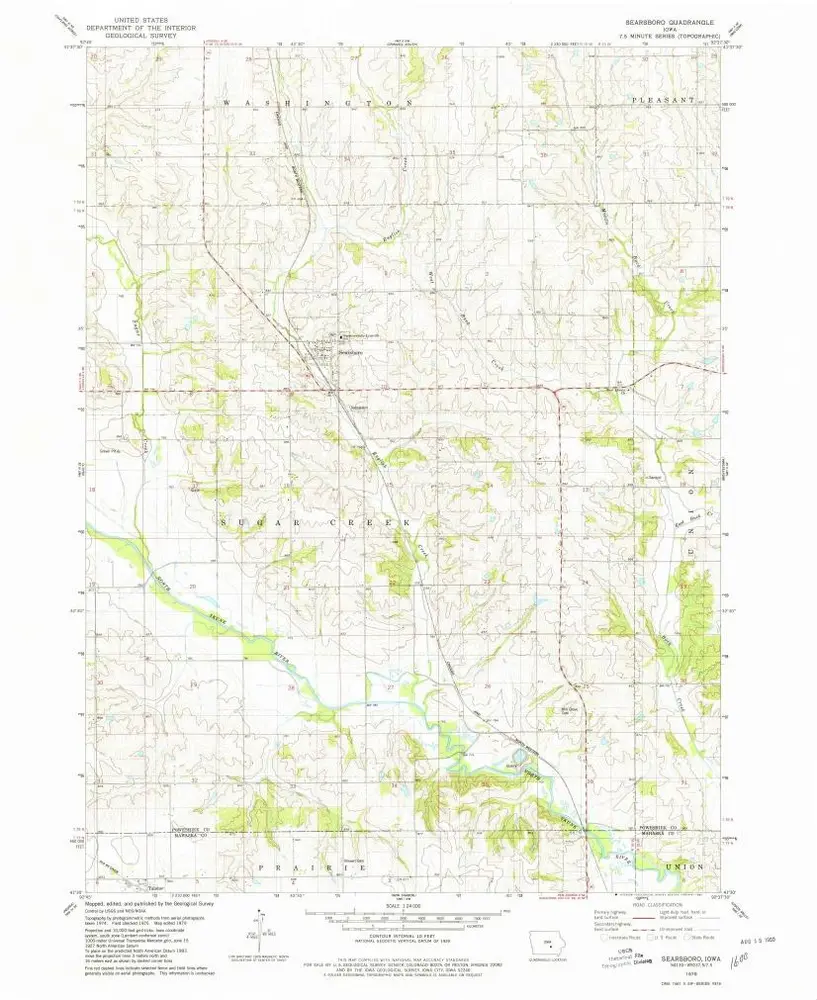
Searsboro
1979
1:24k
Barnes City
1968
1:24k
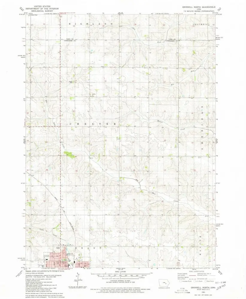
Grinnell North
1980
1:24k
Sheridan
1980
1:24k
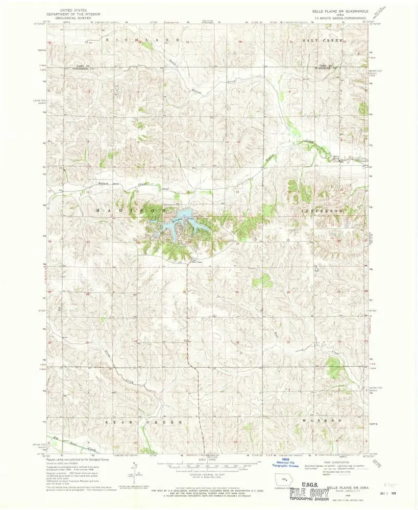
Belle Plaine SW
1968
1:24k
Geschichte