Projekt
Wspólnota
Aktualności
Moja aplikacja
Moje mapy
Katalogisierte Karte
Lexington
Wyświetlanie na zewnętrznej stronie internetowej
Zobacz zdigitalizowane
Einrichtung:
United States Geological Survey
Vollständiger Titel:
Lexington
Jahr der Abbildung:
1972
Veröffentlichungsdatum:
1992
Maßstab der Karte:
1:24 000
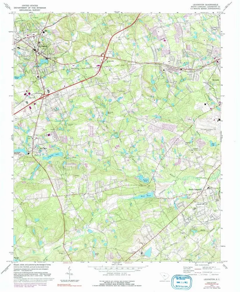
Lexington
1972
1:24k
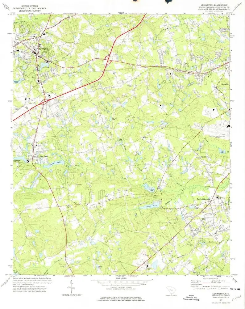
Lexington
1972
1:24k
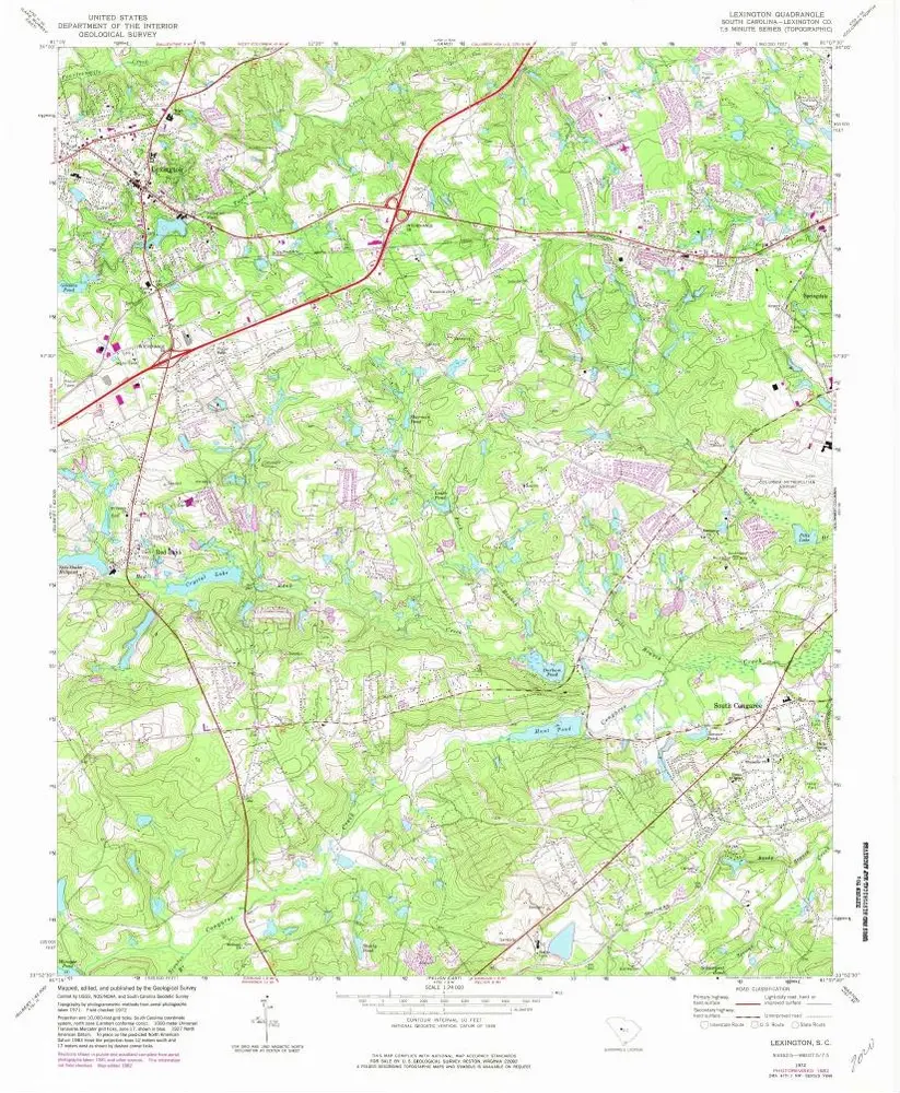
Lexington
1972
1:24k
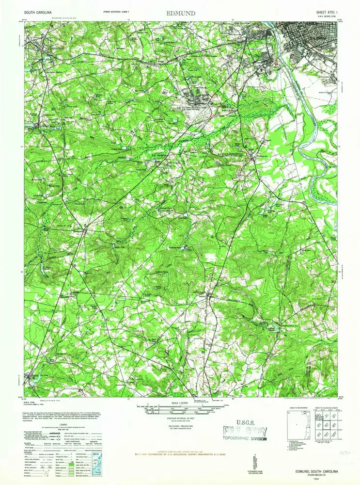
Edmund
1944
1:63k
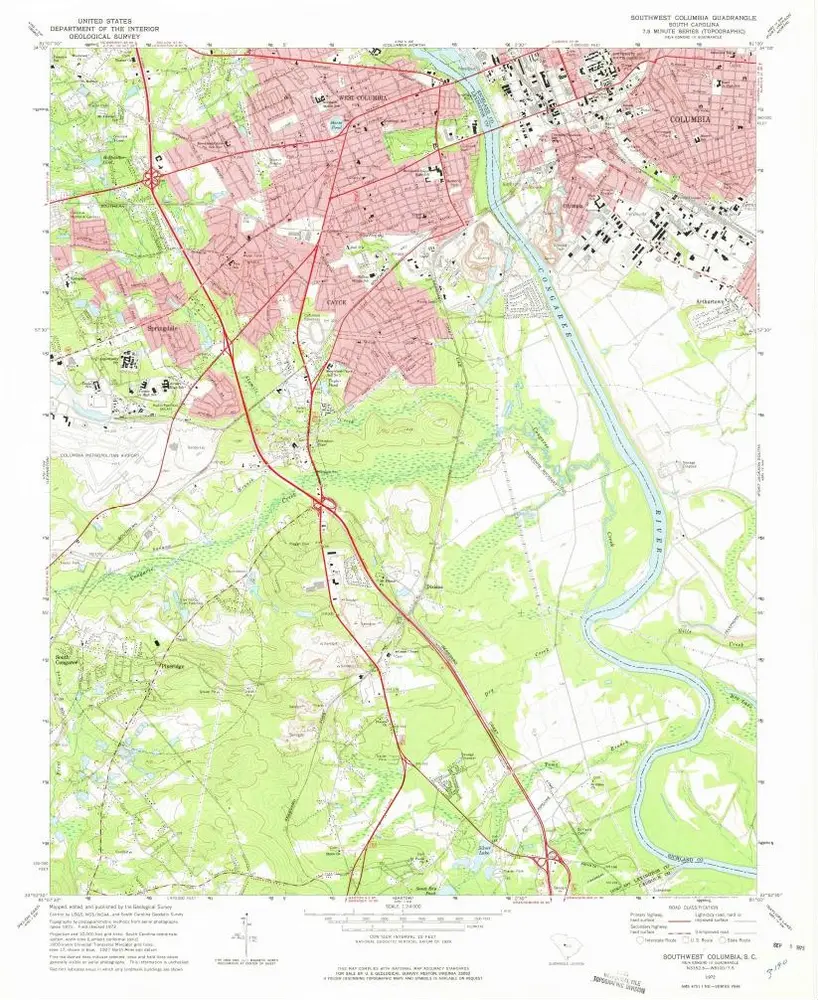
Southwest Columbia
1972
1:24k
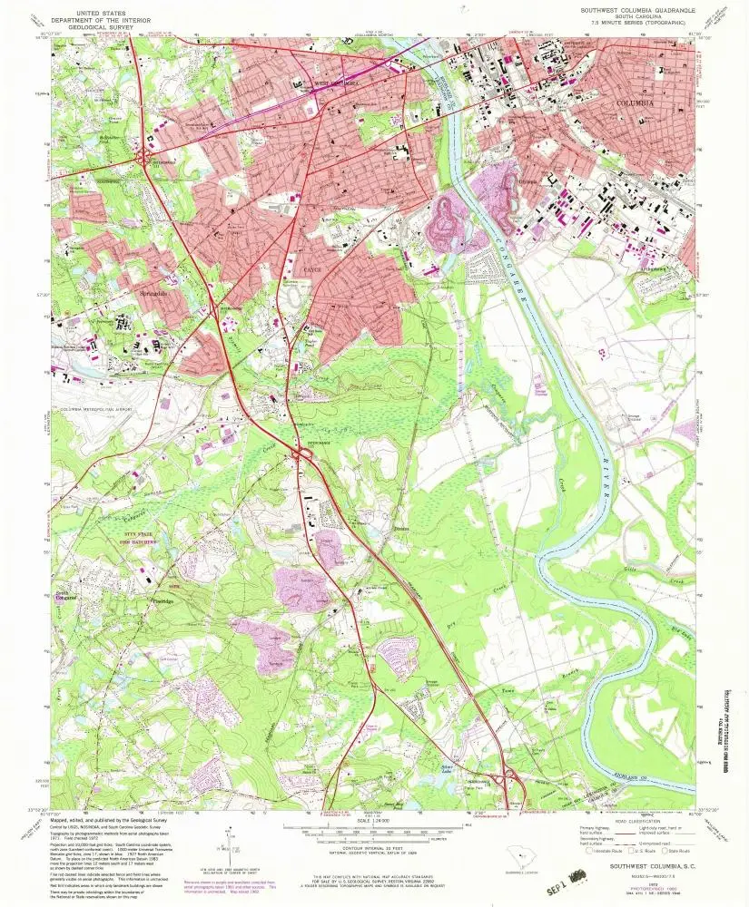
Southwest Columbia
1972
1:24k
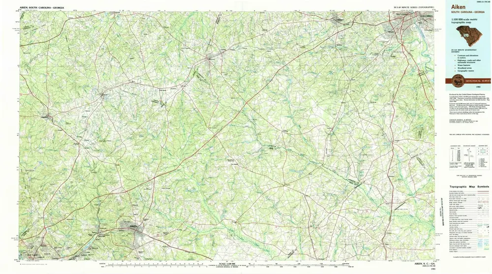
Aiken
1983
1:100k
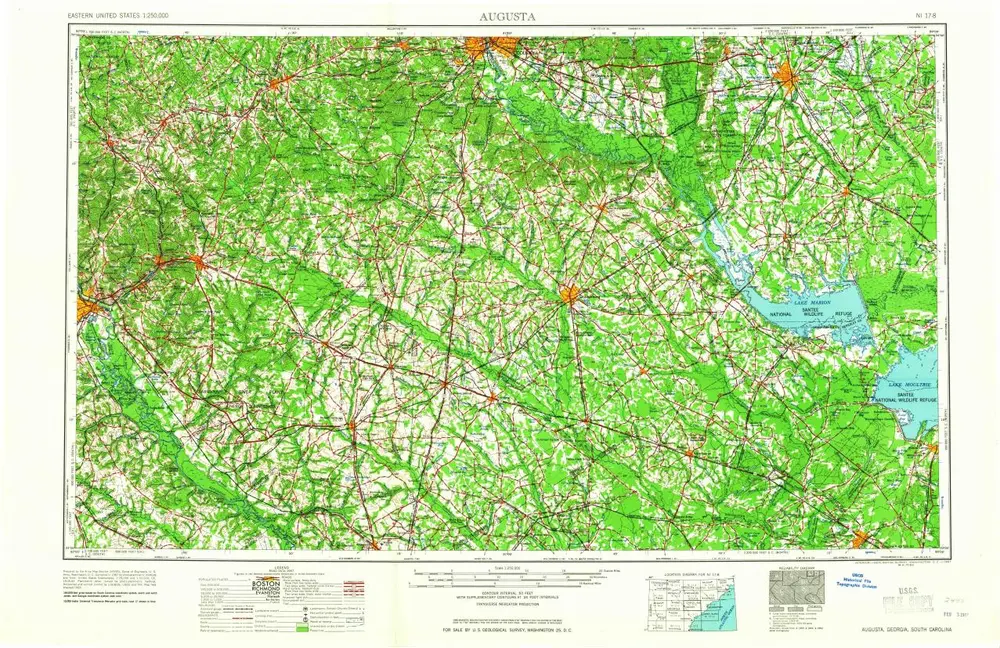
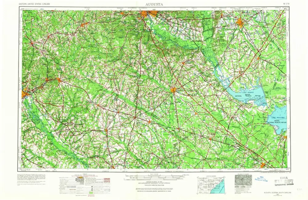
Augusta
1961
1:250k
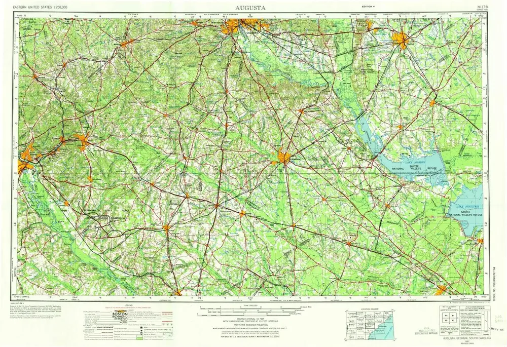
Augusta
1957
1:250k
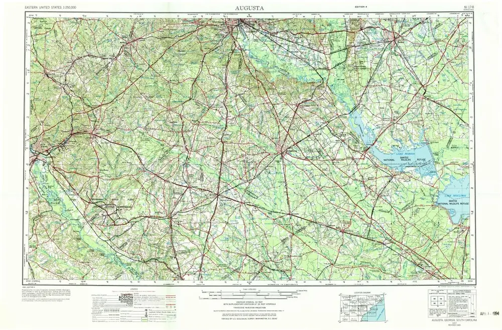
Augusta
1957
1:250k
Augusta
1957
1:250k
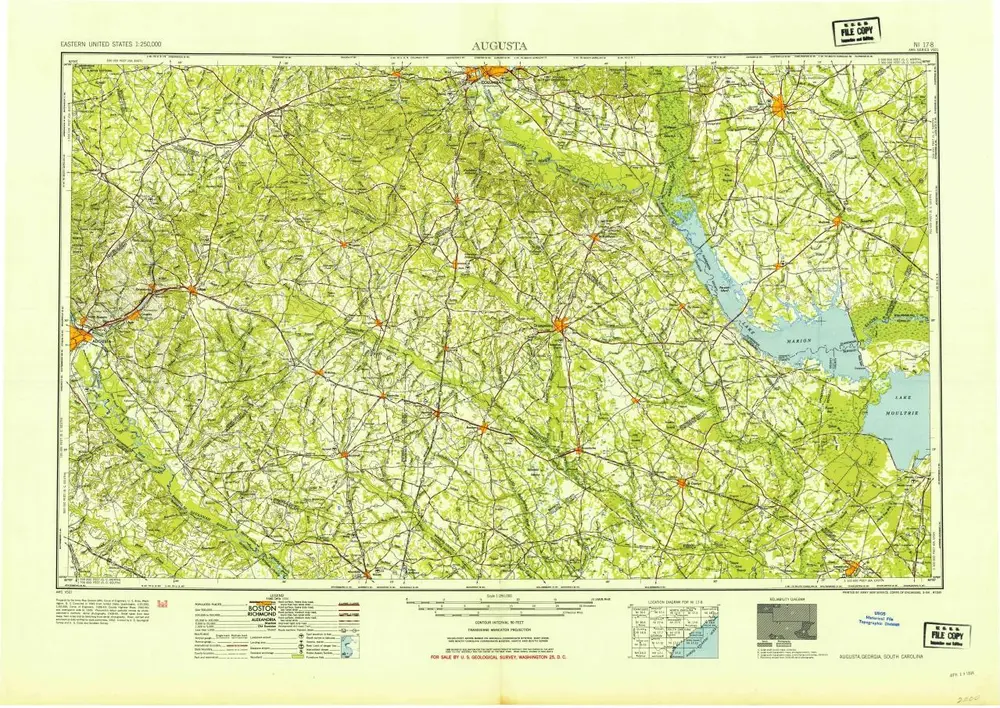
Augusta
1954
1:250k
Geschichte